Peak Korzhenevskaya Tsetlin Ridge & South Face
The Tsetlin Ridge is the standard and most secure route to the summit of Peak Korzhenevskaya (7,105 m). Beginning at the Moskvina Base Camp (4,200 m), climbers ascend the moraines of the Moskvina Glacier, climb fixed ropes along the rocky Tsetlin Ridge to high camps at 5,800 m and 6,400 m, and negotiate steep snow gullies to reach the sharp summit ridge at 7,105 metres.
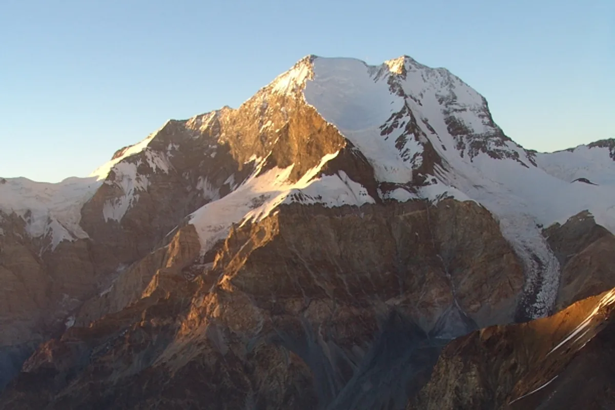
Ascent line, technical cruxes & camp topography profile for Peak Korzhenevskaya Tsetlin Ridge & South Face
Mountain Safety & Conditions Disclaimer: High-altitude climbing, glacial travel, and technical ascents entail severe objective risks including avalanches, serac collapses, rapid weather collapse, and altitude illness. Historical route descriptions and summit claims on Mountanity reflect documented archival sources and must not be used as live operational safety assessments. Local regulations, permits, and physical glacial topography change continuously.
Peer Review: Senior Editorial Board & Historical Reviewers • Editorial Standards
Tactical & Camp Notes
Directly accessible on foot from Moskvina Glade Base Camp without crossing the Walter Glacier.
Identified Objective Hazards
- •Exposed rockfall on the lower approach couloirs before gaining the ridge
- •Severe frostbite risk during the long summit ridge traverse in biting sub-zero winds
- •Cornice collapses along the knife-edge sections between 6,800 m and the summit
Interactive Elevation Profile
Vertical profile, technical cruxes, and camp staging progression for Peak Korzhenevskaya Tsetlin Ridge & South Face on Peak Korzhenevskaya.
Primary regional base camp with full helicopter and communication logistics.
Camp-by-Camp Topography
Key staging altitudes, technical cruxes, and terrain transitions for Peak Korzhenevskaya Tsetlin Ridge & South Face.
Moskvina Glade Base Camp
Primary regional base camp with full helicopter and communication logistics.
Camp 1
Established on the rocky crest where the lower approach gains the main Tsetlin Ridge.
Camp 2
High ridge camp nestled behind a prominent rock gendarme sheltering tents from westerlies.
Camp 3
Assault camp placed on a narrow snow saddle below the final 700-metre summit wall.
Peak Korzhenevskaya Summit
Knife-edge snow crest offering views of Peak Communism, Khan Tengri, and the Hindu Kush.
Topographic Location & Terrain Map
Cartographic datum, massif coordinates, and terrain context for Peak Korzhenevskaya Tsetlin Ridge & South Face on Peak Korzhenevskaya.
Interactive Topographic Terrain Map
Click below to load live cartographic contours, glacier approaches, and geographic markers for Peak Korzhenevskaya (39°03′28″ N, 72°00′32″ E).
Key Statistics & Topographic Figures
- Route Type
- Alpine Rock Arête & Steep Ice Face
Topography
- Technical Difficulty
- Demanding Technical 7,000m Ridge Ascent / Russian Grade 5A
Russian Grade 5A / Alpine Grade IV, exposed rock towers (UIAA III-IV), 45° snow and ice arêtes, fixed lines
- Country / Region
- Tajikistan (Academy of Sciences Range, Pamir Mountains)
Location
Archival Primary Source Quotations
“A mountain route is not merely a path of rock and ice; it is a test of human endurance, judgment, and humility.”
Defined Alpine Terminology & Concepts
- Crux
- The most difficult and technically demanding pitch or section of a climbing route.
- Normal Route (Voie Normale)
- The most frequently climbed, least technical, and historically standard path to a mountain summit.
Frequently Asked Questions: Peak Korzhenevskaya Tsetlin Ridge & South Face
What is the climbing difficulty and grade of Peak Korzhenevskaya Tsetlin Ridge & South Face?
Peak Korzhenevskaya Tsetlin Ridge & South Face on peak-korzhenevskaya is graded as Demanding Technical 7,000m Ridge Ascent / Russian Grade 5A, with technical climbing requirements including Russian Grade 5A / Alpine Grade IV, exposed rock towers (UIAA III-IV), 45° snow and ice arêtes, fixed lines.
What are the primary hazards on the Peak Korzhenevskaya Tsetlin Ridge & South Face?
Climbers on Peak Korzhenevskaya Tsetlin Ridge & South Face must navigate severe objective hazards including Exposed rockfall on the lower approach couloirs before gaining the ridge, Severe frostbite risk during the long summit ridge traverse in biting sub-zero winds, Cornice collapses along the knife-edge sections between 6,800 m and the summit.
What camps are established on Peak Korzhenevskaya Tsetlin Ridge & South Face?
Peak Korzhenevskaya Tsetlin Ridge & South Face typically features 5 staging camps, progressing from Moskvina Glade Base Camp (4200m) up toward the summit.
Mountain Ascended
Peak Korzhenevskaya
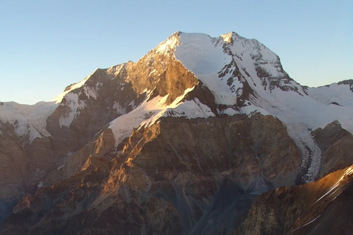
Peak Korzhenevskaya is the third-highest summit in the Pamir Mountains of Tajikistan at 7,105 metres (23,310 ft) and one of the five coveted Snow Leopard peaks. Discovered in August 1910 by Russian geographer Nikolai Korzhenevsky and named in honour of his courageous wife and travel companion Evgenia Korzhenevskaya, the peak stands prominently just 13 kilometres north of Ismoil Somoni Peak across the Moskvina Glade base camp. First conquered in 1953 by Evgeny Timashev's team, its standard Tsetlin Ridge offers sustained alpine climbing over hanging glaciers.
Documented Expeditions on this Route (2)
Verified historical summits, siege campaigns, and pioneer attempts recorded on Peak Korzhenevskaya Tsetlin Ridge & South Face.
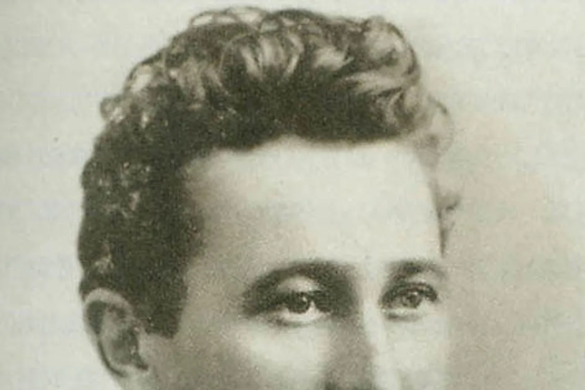
1910 Nikolai Korzhenevsky Discovery of Peak Korzhenevskaya
In August 1910, Russian geographer Nikolai Korzhenevsky led a daring scientific reconnaissance along the Muksu River basin into the unknown interior of the Pamir Mountains, discovering the colossal 7,105-metre peak and naming it in honour of his wife Evgenia.
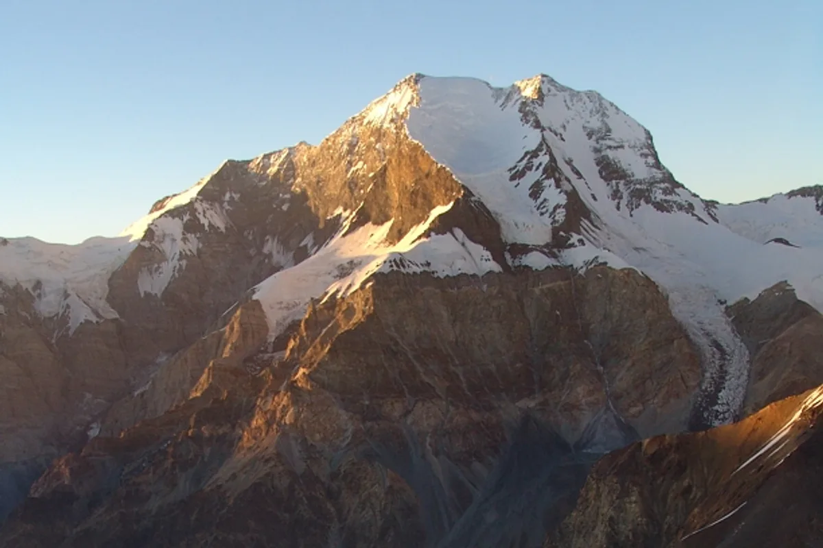
1953 Evgeny Timashev Expedition: First Ascent of Peak Korzhenevskaya
On August 22, 1953, Master of Soviet Alpinism Evgeny Timashev led an eight-man team to the maiden first ascent of Peak Korzhenevskaya (7,105 m) in the Pamir Mountains, completing the conquest of the range's great 7,000-metre triumvirate.
Archival Chronicles & Stories on this Route (2)
In-depth longform historical narratives, harrowing survival accounts, and firsthand alpine journals on Peak Korzhenevskaya Tsetlin Ridge & South Face.
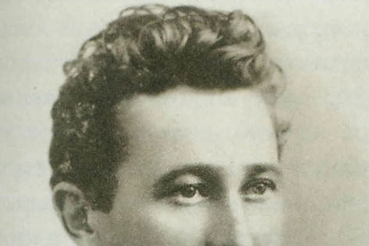
The Sighting of a Queen: Nikolai Korzhenevsky and the Discovery of Peak Korzhenevskaya
In the summer of 1910, the deep interior of the Pamir Mountains remained one of the final blank spaces on the cartographic map of Eurasia. Roaming across roarin...
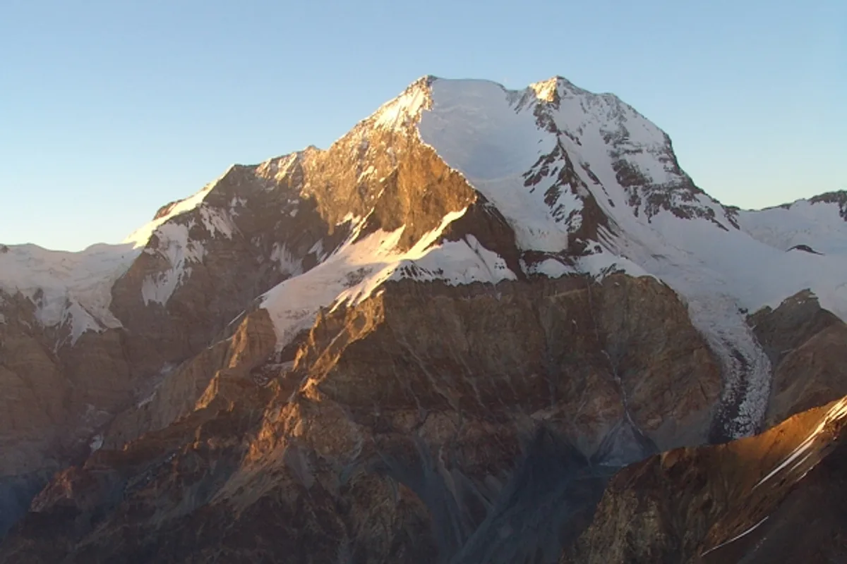
The Conquest of Korzhenevskaya: Evgeny Timashev's Masterclass, 1953
For forty-three years following Nikolai Korzhenevsky's 1910 discovery, Peak Korzhenevskaya (7,105 m) stood unvanquished. Multiple exploratory teams were repulse...
Documented Sources & Archival Citations
- High Summits of Central Asia(Mysl Publishing, Moscow)
Supporting claim: Technical survey and camp distribution of the Tsetlin Route
Accessed/Documented: 2026