Latok I North Ridge
The North Ridge of Latok I (7,145m) is widely regarded as one of the most formidable and iconic alpine objectives in the Karakoram. Rising 2,500 vertical metres from the Choktoi Glacier along an unbroken, knife-edge spine of vertical granite, seracs, and steep mixed ice, it resisted dozens of the world's finest alpine attempts for forty years.
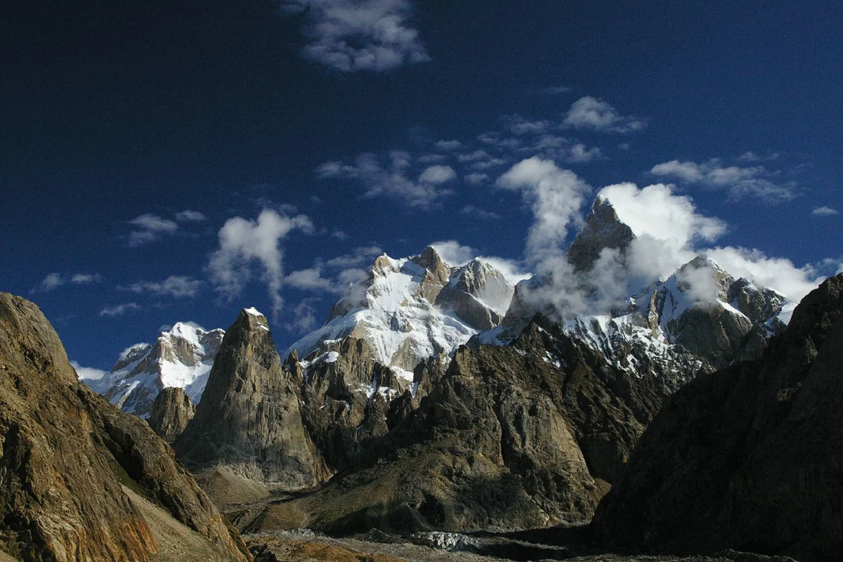
Ascent line, technical cruxes & camp topography profile for Latok I North Ridge
Mountain Safety & Conditions Disclaimer: High-altitude climbing, glacial travel, and technical ascents entail severe objective risks including avalanches, serac collapses, rapid weather collapse, and altitude illness. Historical route descriptions and summit claims on Mountanity reflect documented archival sources and must not be used as live operational safety assessments. Local regulations, permits, and physical glacial topography change continuously.
Peer Review: Senior Editorial Board & Historical Reviewers • Editorial Standards
Tactical & Camp Notes
Requires sustained multi-week commitment in pure alpine style. The ridge begins with 1,000 metres of steep ice and broken rock before confronting sheer vertical granite headwalls plastered in rime and powder snow above 6,000 metres, with severe exposure to sudden jet-stream storms.
Identified Objective Hazards
- •Violent multi-day Karakoram blizzards
- •Extreme wind exposure on narrow knife-edge crests
- •Falling ice and rock from warming granite buttresses
- •Hypothermia and frostbite during extended open bivouacs
- •Complex retreat requiring dozens of rappels on snow anchors
Historical Context
First attempted in 1978 by Jim Donini, Michael Kennedy, George Lowe, and Jeff Lowe, who climbed within 150 metres of the summit before Jeff Lowe succumbed to hypothermia and a violent six-day storm forced a heroic survival descent. Over the next four decades, over thirty world-class expeditions failed on the ridge until Aleš Česen, Luka Stražar, and Tom Livingstone reached the summit via the North Ridge / North Face in August 2018, earning the Piolet d'Or.
Interactive Elevation Profile
Vertical profile, technical cruxes, and camp staging progression for Latok I North Ridge on Latok I.
Base camp on the lateral moraine of the Choktoi Glacier.
Camp-by-Camp Topography
Key staging altitudes, technical cruxes, and terrain transitions for Latok I North Ridge.
Choktoi Base Camp
Base camp on the lateral moraine of the Choktoi Glacier.
Advanced Base Camp
Staging camp at the bergschrund below the lower ice slopes.
Bivouac 1 - Snow Col
Hollowed snow platform on the lower knife-edge crest.
Bivouac 2 - Granite Stance
Exposed rocky ledge tucked beneath the first major granite tower.
Bivouac 3 - Upper Headwall Shelf
Tiny carved ice bench below the sheer final granite headwall.
Latok I Summit
The glaciated summit pyramid of Latok I.
Topographic Location & Terrain Map
Cartographic datum, massif coordinates, and terrain context for Latok I North Ridge on Latok I.
Interactive Topographic Terrain Map
Click below to load live cartographic contours, glacier approaches, and geographic markers for Latok I (35°55′22″ N, 75°49′04″ E).
Key Statistics & Topographic Figures
- Route Type
- Mixed Alpine Ridge & Granite Buttress
- Elevation Gain
- 2,500 vertical metres
- Technical Grade
- VI, 5.9, A2, WI5, M6
- Summit Elevation
- 7,145 metres
- First Complete Ascent
- August 2018 (Česen, Stražar, Livingstone)
Archival Primary Source Quotations
“We abandoned the summit 150 metres below the top because friendship and saving a partner's life are infinitely more valuable than any piece of rock.”
Defined Alpine Terminology & Concepts
- Alpine Style
- Climbing mountains without fixed ropes, pre-established camps, high-altitude porters, or supplemental oxygen.
- Serac
- A massive, unstable block or column of glacial ice formed by intersecting crevasses on a steep icefall or mountain face.
Frequently Asked Questions: Latok I North Ridge
What makes the Latok I North Ridge one of the hardest routes in the world?
It combines 2,500 vertical metres of continuous technical mixed rock and ice climbing with extreme altitude topping out at 7,145 metres.
What technical difficulty does the Latok I North Ridge entail?
Grade VI Alpine Mixed, with sustained rock climbing up to 5.9 and A2, water ice up to WI5, and mixed terrain up to M6.
How many days did the 1978 American team spend on the ridge?
They spent twenty-one days ascending the ridge and six days descending through a violent blizzard, completing 85 rappels.
Which glacier serves as the base for the North Ridge route?
The Choktoi Glacier at an elevation of approximately 4,400 metres.
What gear strategy is required on the North Ridge?
Lightweight alpine style without fixed ropes or supplementary oxygen, carrying lightweight portaledges or bivouac tents.
What are the primary objective hazards on the route?
Spindrift avalanches, falling ice from warming upper buttresses, violent Karakoram storms, and acute altitude sickness.
When is the best season to attempt the Latok I North Ridge?
July and August, during the brief Karakoram summer window.
Why did the 1978 expedition turn back so close to the summit?
Jeff Lowe suffered high-altitude pulmonary edema and hypothermia, prompting an immediate evacuation to save his life.
Mountain Ascended
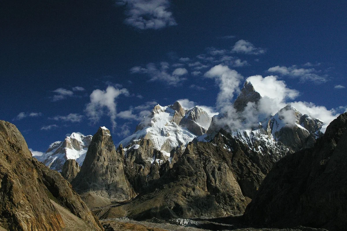

Latok I
Latok I is a formidable 7,145-metre granite spire situated in the Panmah Muztagh subrange of the Karakoram in Gilgit-Baltistan, Pakistan. Rising steeply above the Choktoi and Baintha Lukpar glaciers, Latok I is internationally celebrated for its sheer 2,500-metre North Ridge, widely regarded as one of the most demanding alpine challenges on Earth.
Documented Expeditions on this Route (1)
Verified historical summits, siege campaigns, and pioneer attempts recorded on Latok I North Ridge.
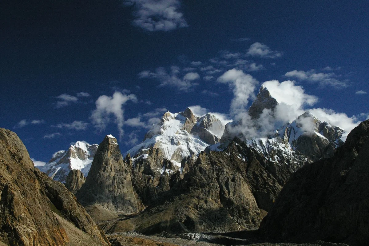
1978 Latok I North Ridge Alpine Expedition
In the summer of 1978, American alpinists Jim Donini, Michael Kennedy, George Lowe, and Jeff Lowe mounted a legendary alpine-style attempt on the 2,500-metre North Ridge of Latok I (7,145m), reaching within 150 metres of the summit before surviving a harrowing six-day blizzard retreat.
Archival Chronicles & Stories on this Route (1)
In-depth longform historical narratives, harrowing survival accounts, and firsthand alpine journals on Latok I North Ridge.
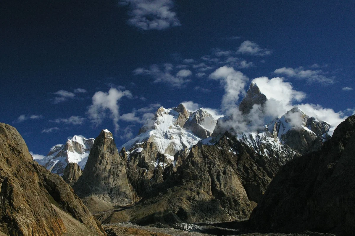
The Unfinished Symphony: The 1978 American Epic on the North Ridge of Latok I
In the summer of 1978, Jim Donini, Michael Kennedy, George Lowe, and Jeff Lowe climbed within 150 metres of the summit of Latok I (7,145m) along its formidable North Ridge before surviving a legendary six-day blizzard retreat.
Documented Sources & Archival Citations
- American Alpine Journal: The North Ridge of Latok I (1979)(American Alpine Club)
Supporting claim: Official expedition journal by Jim Donini detailing the 1978 alpine epic
Accessed/Documented: 2026 - Piolets d'Or: Latok I North Ridge and North Face (2018)(Groupe de Haute Montagne)
Supporting claim: Technical summary and evaluation of the 2018 Piolet d'Or winning ascent
Accessed/Documented: 2026