Marmolada South Face (Via Tomasson-Bettega-Zagonel)
The Via Tomasson-Bettega-Zagonel on the South Face of Marmolada (3,343 m) is revered as the Silver Wall (Parete d'Argento) masterwork. Opened on July 1, 1901, by British climber Beatrice Tomasson with legendary Primiero guides Michele Bettega and Bortolo Zagonel, the 800-metre route scales over thirty pitches of compact, polished limestone graded UIAA V, standing as one of the boldest pre-World War I ascents in Europe.
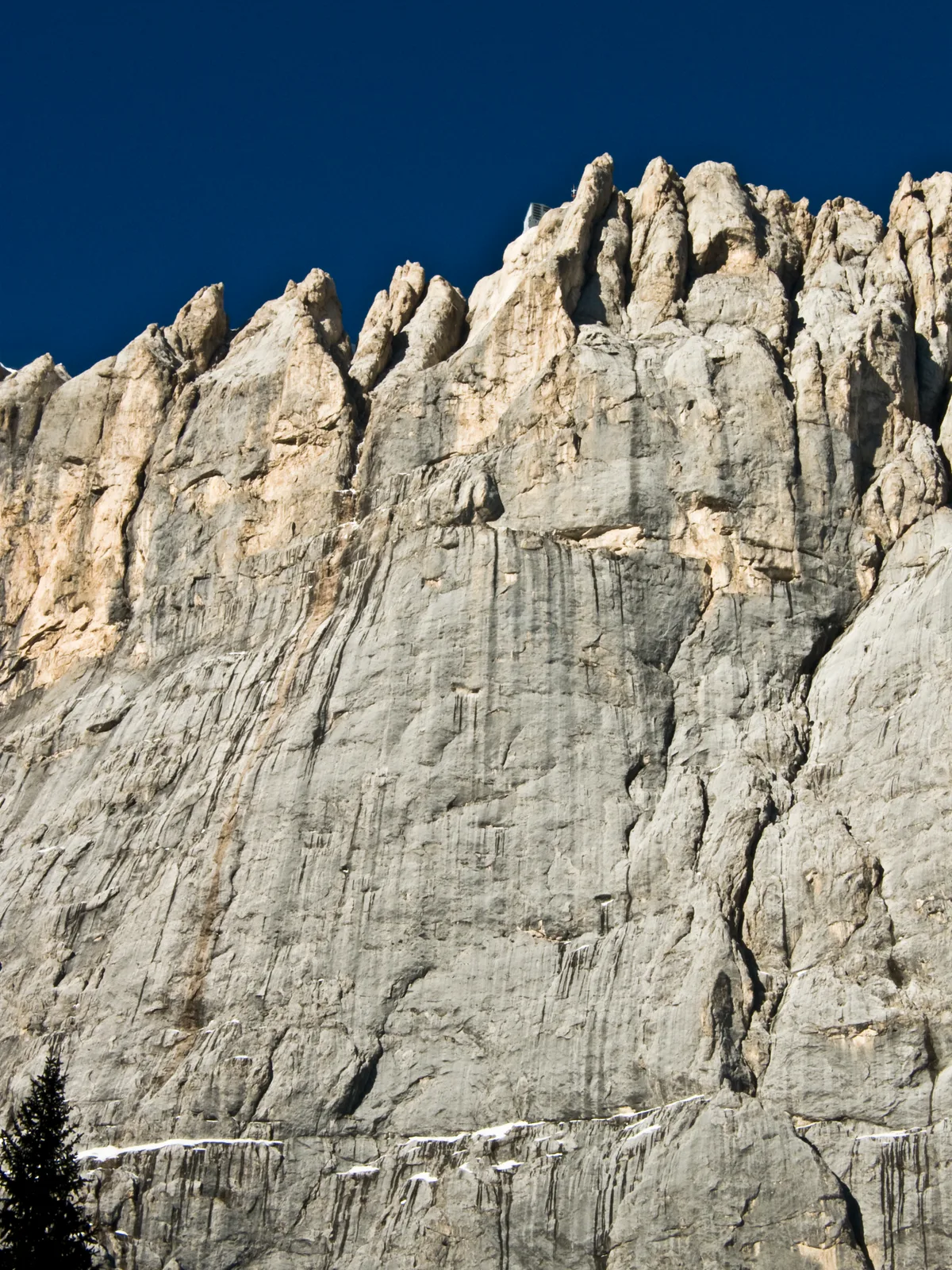
Ascent line, technical cruxes & camp topography profile for Marmolada South Face (Via Tomasson-Bettega-Zagonel)
Mountain Safety & Conditions Disclaimer: High-altitude climbing, glacial travel, and technical ascents entail severe objective risks including avalanches, serac collapses, rapid weather collapse, and altitude illness. Historical route descriptions and summit claims on Mountanity reflect documented archival sources and must not be used as live operational safety assessments. Local regulations, permits, and physical glacial topography change continuously.
Peer Review: Senior Editorial Board & Historical Reviewers • Editorial Standards
Tactical & Camp Notes
Starting from the Rifugio Onorio Falier in the Ombretta Valley, climbers cross the scree cone to enter the lower chimney systems. The route ascends yellow slabs and deep water-worn grooves, surmounting the great central dihedral and fragile limestone bands before joining the crest near Punta Penia. Sustained concentration is required due to the length of the climb and afternoon thunderstorm hazard.
Interactive Elevation Profile
Vertical profile, technical cruxes, and camp staging progression for Marmolada South Face (Via Tomasson-Bettega-Zagonel) on Marmolada.
Historic refuge nestled in the green meadows of the Ombretta Valley beneath the Marmolada South Face.
Camp-by-Camp Topography
Key staging altitudes, technical cruxes, and terrain transitions for Marmolada South Face (Via Tomasson-Bettega-Zagonel).
Rifugio Onorio Falier
Historic refuge nestled in the green meadows of the Ombretta Valley beneath the Marmolada South Face.
Marmolada Punta Penia Summit
Highest point in the Dolomites, crowned by the Capanna Punta Penia hut and views across the Dolomite spires.
Topographic Location & Terrain Map
Cartographic datum, massif coordinates, and terrain context for Marmolada South Face (Via Tomasson-Bettega-Zagonel) on Marmolada.
Interactive Topographic Terrain Map
Click below to load live cartographic contours, glacier approaches, and geographic markers for Marmolada (46°26′04″ N, 11°51′06″ E).
Key Statistics & Topographic Figures
- Vertical Height
- 1,000 metres (3,280 feet)
- Technical Grade
- UIAA IV+ / V-
- First Ascent Date
- July 1, 1901 (Tomasson, Bettega, Zagonel)
- Time of First Ascent
- 21 hours non-stop continuous push
- Summit Reached
- Punta Penia (3,343 m / 10,968 ft)
Archival Primary Source Quotations
“The South Face of the Marmolada was climbed by a woman and two guides, proving that calm resolve can conquer the wildest limestone wall in Europe.”
Defined Alpine Terminology & Concepts
- Cengia (Ledge System)
- A narrow horizontal terrace cutting across an otherwise vertical Dolomite rock face that provides route continuity and resting stances.
- Tricouni Nails
- Serrated steel cleats fastened around the edges of leather mountaineering boots to provide friction on wet limestone.
Frequently Asked Questions: Marmolada South Face (Via Tomasson-Bettega-Zagonel)
What is the Tomasson-Bettega-Zagonel route on the Marmolada South Face?
It is the historic 1,000-metre route on the Marmolada South Face opened on July 1, 1901, widely hailed as the greatest alpine rock ascent of the early 20th century.
Who first climbed the Marmolada South Face?
British climber Beatrice Tomasson with legendary Primiero mountain guides Michele Bettega and Bartolo Zagonel.
Why was Beatrice Tomasson's ascent of the Marmolada South Face groundbreaking?
It established a woman at the absolute vanguard of extreme world alpinism, conquering a wall that had rebuffed Europe's finest male climbers for decades.
What is the climbing grade of the Tomasson route?
Graded UIAA IV+ with sections of V-, the route requires masterly route-finding across 30 pitches of sustained limestone slabs, chimneys, and gullies.
How long did the 1901 first ascent take?
Tomasson, Bettega, and Zagonel climbed the entire 1,000-metre vertical wall in a continuous, non-stop push of approximately 21 hours.
Where is the Marmolada South Face located?
Rising above the Val Ombretta in the Trentino and Belluno Dolomites, terminating directly on the summit crest of Punta Penia (3,343 m).
What are the main objective hazards on the route?
Thunderstorms that transform dry limestone slabs into icy torrents, falling rocks dislodged by melting snowfields, and total route disorientation.
What equipment was used during the 1901 ascent?
Simple hemp ropes, nailed boots (tricouni nails), and fewer than a dozen hand-forged iron pitons, emphasizing purest traditional free climbing.
Mountain Ascended
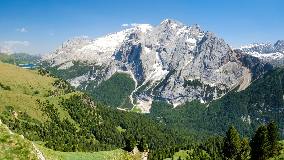

Marmolada
Marmolada (3,343 m / 10,968 ft) is the highest peak in the Dolomites, celebrated as the Queen of the Dolomites. Presiding over the Trentino and Veneto regions of northern Italy, its glaciated northern slopes contrast dramatically with its formidable 800-metre south face (Parete d'Argento). First summited via the north side in 1864 by Paul Grohmann, the mountain later witnessed fierce high-altitude combat during World War I and legendary rock routes by Béatrice Tomasson and Tita Piaz.
Documented Expeditions on this Route (1)
Verified historical summits, siege campaigns, and pioneer attempts recorded on Marmolada South Face (Via Tomasson-Bettega-Zagonel).
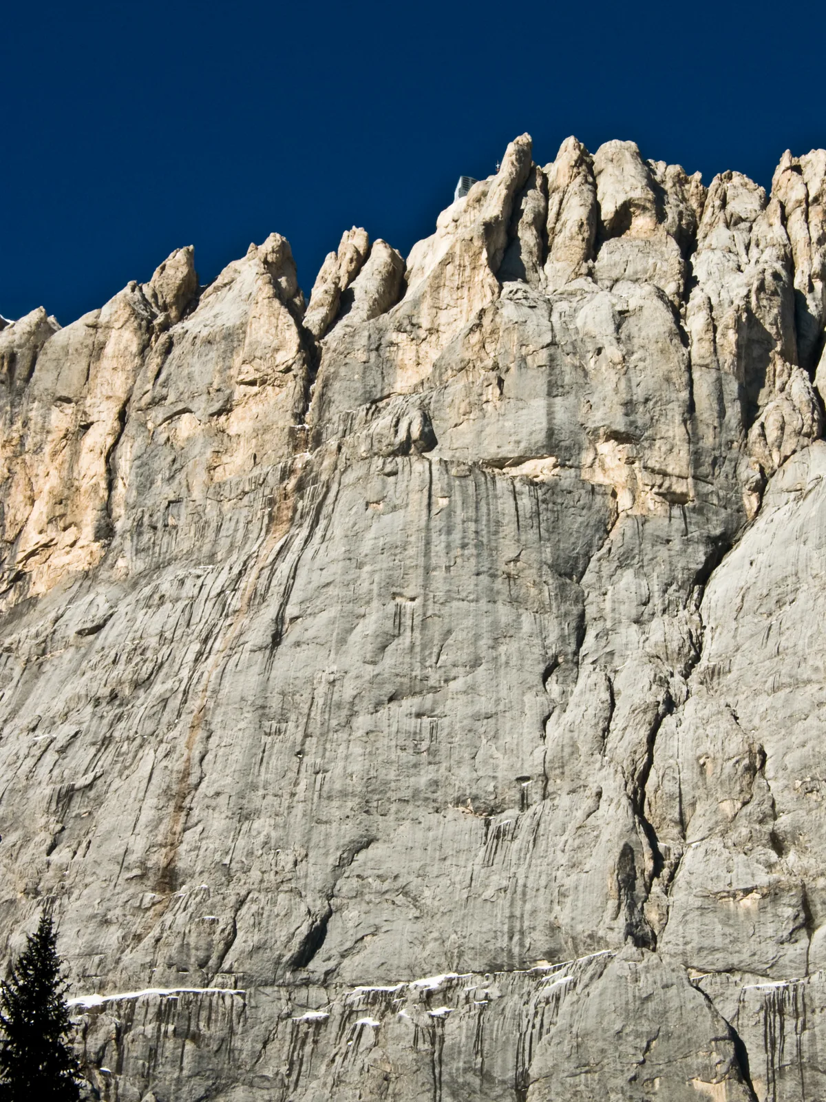
1901 Tomasson & Bettega Marmolada South Face First Ascent
On July 1, 1901, British female mountaineer Beatrice Tomasson with guides Michele Bettega and Bortolo Zagonel conquered the formidable 800-metre Silver Wall (South Face) of Marmolada, the Queen of the Dolomites.
Archival Chronicles & Stories on this Route (1)
In-depth longform historical narratives, harrowing survival accounts, and firsthand alpine journals on Marmolada South Face (Via Tomasson-Bettega-Zagonel).
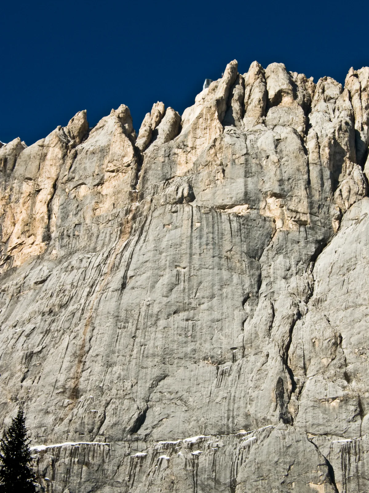
The Silver Wall Conquered: Beatrice Tomasson's 1901 Marmolada South Face Epic
On July 1, 1901, British climber Beatrice Tomasson and guides Michele Bettega and Bortolo Zagonel climbed the 800-metre South Face of Marmolada, establishing one of the greatest pre-WWI big wall ascents in Europe.
Documented Sources & Archival Citations
- The Alpine Journal: The South Face of the Marmolata(Beatrice Tomasson / The Alpine Club, London (1902))
Supporting claim: Primary expedition account and pitch descriptions of the 1901 first ascent
Accessed/Documented: 2026 - A mezzo secolo dalla conquista della Sud della Marmolada(Tita Piaz / CAI)
Supporting claim: Historical analysis of the route's significance in pre-war Dolomite alpinism
Accessed/Documented: 2026