Bravo Glacier Route (Mount Waddington)
The Bravo Glacier Route is the classic mountaineering pathway into the heart of Mount Waddington, navigating from the colossal Tiedemann Glacier through the convoluted seracs of the Bravo Glacier icefall to the high Bravo Col and the 4,000-metre Northwest Summit crest. Pioneered in exploration by Don and Phyllis Munday, it remains the standard artery for ascents of British Columbia's highest peak.
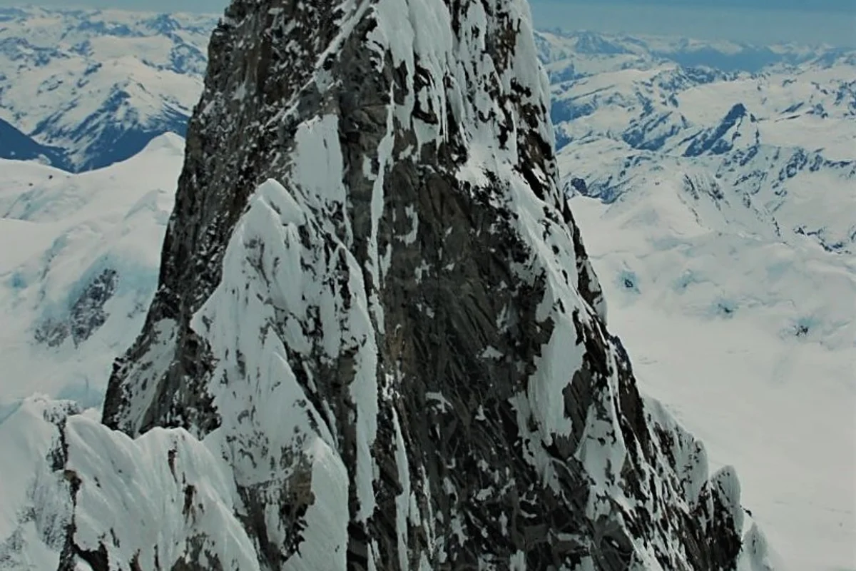
Ascent line, technical cruxes & camp topography profile for Bravo Glacier Route (Mount Waddington)
Mountain Safety & Conditions Disclaimer: High-altitude climbing, glacial travel, and technical ascents entail severe objective risks including avalanches, serac collapses, rapid weather collapse, and altitude illness. Historical route descriptions and summit claims on Mountanity reflect documented archival sources and must not be used as live operational safety assessments. Local regulations, permits, and physical glacial topography change continuously.
Peer Review: Senior Editorial Board & Historical Reviewers • Editorial Standards
Tactical & Camp Notes
First penetrated in July 1934 by Canadian exploratory pioneers Don and Phyllis Munday. The climb involves crossing the heavily crevassed Tiedemann Glacier, navigating chaotic sérac bands on the lower Bravo Glacier, climbing a sustained 50-degree snow couloir to the windy notch of the Bravo Col at 3,400 metres, and traversing the upper knife-edge snow arête to the Northwest Summit.
Interactive Elevation Profile
Vertical profile, technical cruxes, and camp staging progression for Bravo Glacier Route (Mount Waddington) on Mount Waddington.
Expedition base camp on the massive gravel moraines of the Tiedemann Glacier beneath the Bravo Icefall.
Camp-by-Camp Topography
Key staging altitudes, technical cruxes, and terrain transitions for Bravo Glacier Route (Mount Waddington).
Tiedemann Glacier Base Camp
Expedition base camp on the massive gravel moraines of the Tiedemann Glacier beneath the Bravo Icefall.
Lower Bravo Glacier Camp
Glacial staging camp positioned above the primary lower crevasses and rockfall runout.
Bravo Col Bivouac
High wind-scoured saddle between the main granite tooth of Waddington and the northwest summit.
Mount Waddington Northwest Summit
The sprawling snow dome summit reached by the Mundays in 1934, overlooking the Pacific Coast Range.
Topographic Location & Terrain Map
Cartographic datum, massif coordinates, and terrain context for Bravo Glacier Route (Mount Waddington) on Mount Waddington.
Interactive Topographic Terrain Map
Click below to load live cartographic contours, glacier approaches, and geographic markers for Mount Waddington (51°22′25″ N, 125°15′45″ W).
Key Statistics & Topographic Figures
- Technical Grade
- Alaskan Grade 3 / French D / 50° Snow & Ice
- Vertical Elevation Gain
- 2,400 vertical metres from Tiedemann Base
- First Exploration Date
- July 1934
- Route Pioneers
- Don Munday & Phyllis Munday
- Key Mountain Col
- Bravo Col (3,400 m / 11,200 ft)
Archival Primary Source Quotations
“The Bravo Glacier was a labyrinth of fractured ice, where every step upward was hard-won against the roar of the mountain.”
Defined Alpine Terminology & Concepts
- Sérac
- A massive column or pinnacle of glacial ice formed by intersecting crevasses on a steep glacier slope, prone to sudden collapse.
- Snow Picket
- An aluminum stake driven into hard snow or firn to create a secure anchor for belaying and fixed lines.
Frequently Asked Questions: Bravo Glacier Route (Mount Waddington)
What is the Bravo Glacier Route on Mount Waddington?
It is the classic mountaineering route up Mount Waddington, navigating from the Tiedemann Glacier up the Bravo Glacier icefall to the Bravo Col.
Who first explored the Bravo Glacier route?
Canadian exploratory pioneers Don and Phyllis Munday established the route during their historic 1934 first ascent of the Northwest Summit.
What are the technical climbing difficulties on the Bravo Glacier Route?
The route is graded Alaskan Grade 3 / French D, featuring heavily crevassed icefalls, a steep 50-degree snow couloir, and exposed ridge traversing.
What is the Bravo Col?
A high, wind-scoured saddle at 3,400 metres between Mount Waddington's Main Tower and the Northwest Peak, serving as the high staging bivouac.
What objective dangers threaten climbers on the Bravo Glacier?
Collapsing séracs, active icefalls, deep concealed crevasses, and sudden Pacific whiteouts that can dump several feet of snow in hours.
Where do climbers establish base camp for the Bravo Glacier route?
Base camp is typically situated on the lateral moraine of the Tiedemann Glacier at 1,800 metres beneath the lower icefall.
Does the Bravo Glacier Route lead to the Main Tower?
The Bravo Glacier Route reaches the Bravo Col, from which climbers can either climb the Northwest snow summit or tackle technical rock pitches on the South Tower.
What equipment is essential for the Bravo Glacier climb?
Full glacier travel gear, crevasse rescue kits, ice screws, technical ice axes, snow pickets, and four-season high-wind mountain tents.
Mountain Ascended
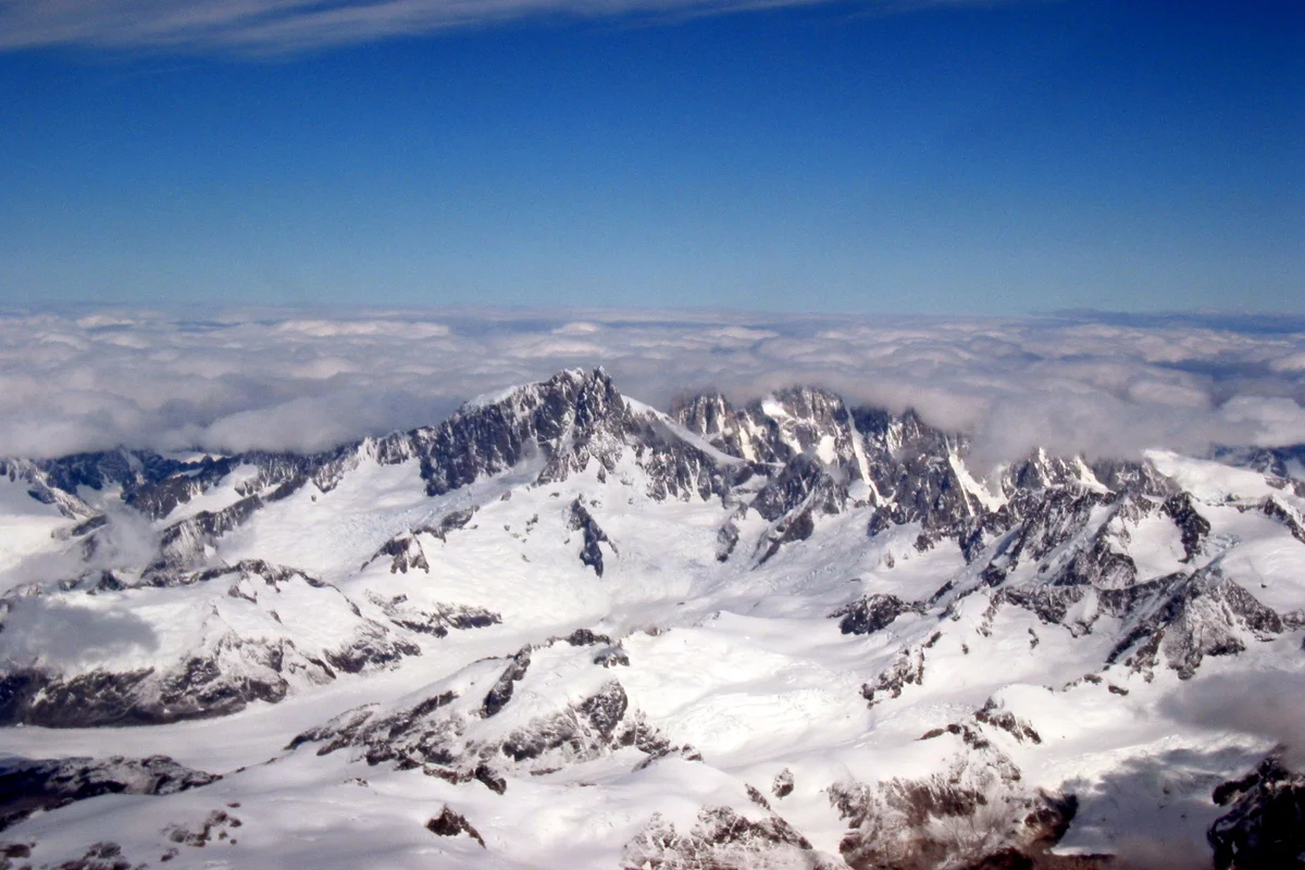

Mount Waddington
Mount Waddington is the highest peak in the Coast Mountains of British Columbia, rising to 4,019 metres amid the largest temperate icefield system in the world outside polar regions. Celebrated as Mystery Mountain during early exploration, this sheer granite monolith is perpetually guarded by Pacific maritime tempests, immense tidal glaciers, and vertical rock towers.
Documented Expeditions on this Route (1)
Verified historical summits, siege campaigns, and pioneer attempts recorded on Bravo Glacier Route (Mount Waddington).
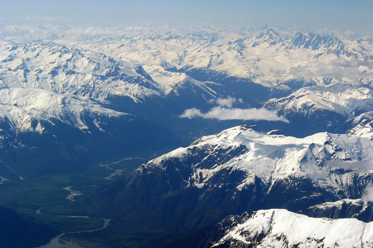
1934 First Ascent of Mount Waddington Northwest Peak by Don and Phyllis Munday
On July 7, 1934, Canadian pioneers Don and Phyllis Munday completed their tenth expedition into the Coast Mountains by achieving the historic first ascent of Mount Waddington's 4,000-metre Northwest Summit via the Bravo Glacier.
Archival Chronicles & Stories on this Route (1)
In-depth longform historical narratives, harrowing survival accounts, and firsthand alpine journals on Bravo Glacier Route (Mount Waddington).
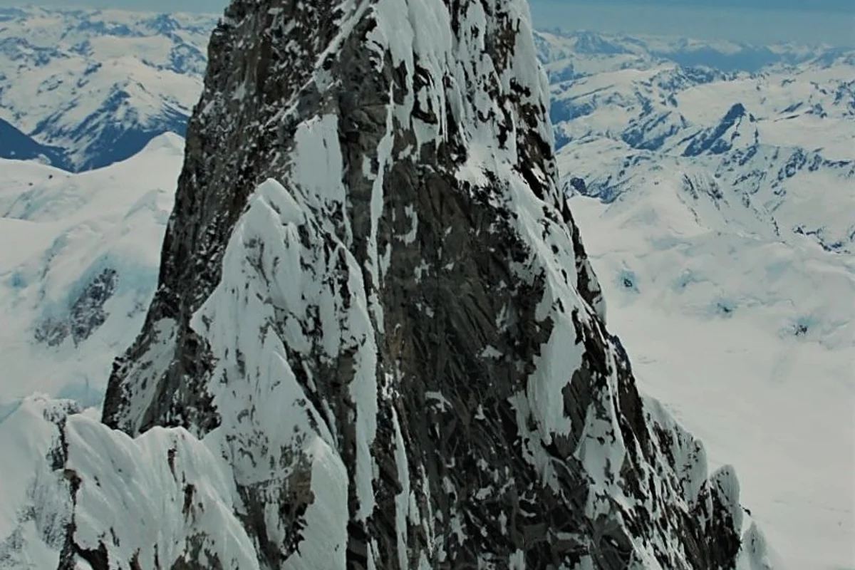
Chasing Mystery Mountain: Don and Phyllis Munday's Decade-Long Quest for Mount Waddington
On July 7, 1934, Canadian pioneers Don and Phyllis Munday conquered the 4,000-metre Northwest Summit of Mount Waddington, completing an epic ten-year quest to unlock British Columbia's Mystery Mountain.
Documented Sources & Archival Citations
- The Unknown Mountain(Don Munday / Hodder & Stoughton)
Supporting claim: Primary chronicle of route reconnaissance up the Bravo Glacier
Accessed/Documented: 2026 - Climber's Guide to the Coastal Ranges of British Columbia(Dick Culbert / Alpine Club of Canada)
Supporting claim: Detailed technical route description and topography for Mount Waddington
Accessed/Documented: 2026