Mount Waddington
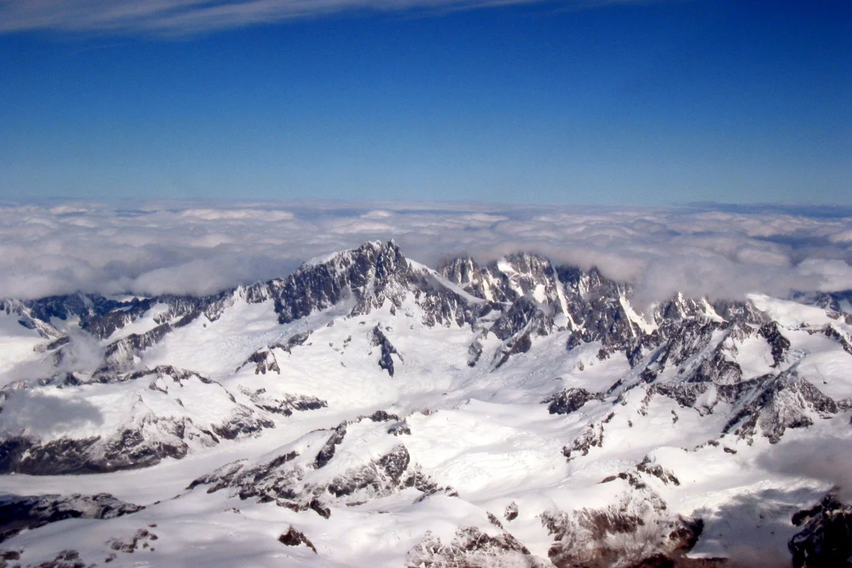
Mount Waddington is the highest peak in the Coast Mountains of British Columbia, rising to 4,019 metres amid the largest temperate icefield system in the world outside polar regions. Celebrated as Mystery Mountain during early exploration, this sheer granite monolith is perpetually guarded by Pacific maritime tempests, immense tidal glaciers, and vertical rock towers.
 Canada
Mountain Safety & Conditions Disclaimer: High-altitude climbing, glacial travel, and technical ascents entail severe objective risks including avalanches, serac collapses, rapid weather collapse, and altitude illness. Historical route descriptions and summit claims on Mountanity reflect documented archival sources and must not be used as live operational safety assessments. Local regulations, permits, and physical glacial topography change continuously.
Peer Review: Senior Editorial Board & Historical Reviewers • Editorial Standards
Geographical Setting & Topography
Located approximately 290 kilometres northwest of Vancouver at the head of Knight Inlet, Mount Waddington anchors the Waddington Range. Surrounded by colossal glaciers including the Tiedemann, Scimitar, and Franklin glaciers, its dual summits comprise the northwest snow crest and the terrifying vertical granite fang of the main southern tower.
Historic First Ascent
Date: 1934-07-07
Ascent Team: Don Munday, Phyllis Munday
Key Statistics & Topographic Figures
- Official Summit Elevation
- 4,019 metres (13,186 feet)
- Topographic Prominence
- 3,289 metres
- Northwest Summit Ascent
- July 7, 1934 (Don & Phyllis Munday)
- Main Tower Ascent
- July 21, 1936 (Fritz Wiessner & Bill House)
- Mountain Range
- Pacific Ranges, Coast Mountains, British Columbia
Archival Primary Source Quotations
“Mystery Mountain is not merely a summit; it is an untamed arctic realm of rock and ice towering in solitary splendour above the Pacific.”
Defined Alpine Terminology & Concepts
- Verglas
- A thin, transparent coating of ice on rock or stone, formed by freezing rain or freezing meltwater, creating perilous climbing hazards.
- Temperate Glacier
- A glacier whose ice temperature is at or near the melting point throughout its mass from surface to base during summer months.
Mount Waddington Mountain Weather Forecast
Detailed 14-Day Summit Window & Weather Timeline
Explore day-by-day summit push safety windows, wind shear analysis, and extended multi-day forecasts for Mount Waddington.
Explore Mount Waddington (4,019 m) in Interactive 3D
Inspect steep glacial walls, hanging seracs, ridge approaches, and elevation relief with 360° rotation and terrain tilt in WebGL.
Documented Climbing Routes (1)
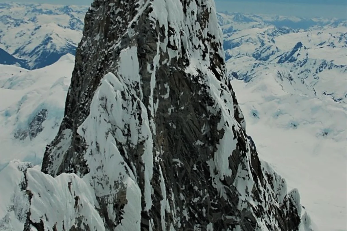
Bravo Glacier Route (Mount Waddington)
The Bravo Glacier Route is the classic mountaineering pathway into the heart of Mount Waddington, navigating from the colossal Tiedemann Glacier through the convoluted seracs of the Bravo Glacier icefall to the high Bravo Col and the 4,000-metre Northwest Summit crest. Pioneered in exploration by Don and Phyllis Munday, it remains the standard artery for ascents of British Columbia's highest peak.
Historical Expeditions (1)
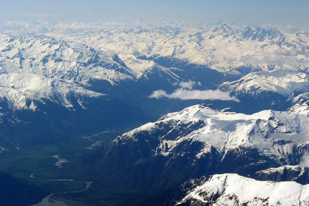
1934 First Ascent of Mount Waddington Northwest Peak by Don and Phyllis Munday
On July 7, 1934, Canadian pioneers Don and Phyllis Munday completed their tenth expedition into the Coast Mountains by achieving the historic first ascent of Mount Waddington's 4,000-metre Northwest Summit via the Bravo Glacier.
Summit Chronicles & Stories (1)
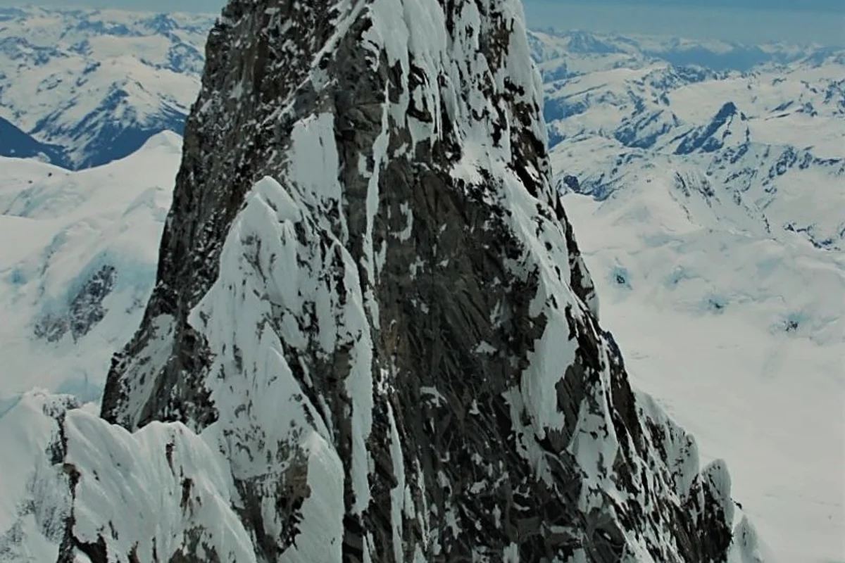
Chasing Mystery Mountain: Don and Phyllis Munday's Decade-Long Quest for Mount Waddington
On July 7, 1934, Canadian pioneers Don and Phyllis Munday conquered the 4,000-metre Northwest Summit of Mount Waddington, completing an epic ten-year quest to unlock British Columbia's Mystery Mountain.
Frequently Asked Questions: Mount Waddington
What is Mount Waddington and where is it situated?
Mount Waddington is the highest peak in the Coast Mountains of British Columbia, rising to 4,019 metres approximately 290 kilometres northwest of Vancouver.
Why was Mount Waddington historically called Mystery Mountain?
Because early Canadian government surveys assumed the Coast Range held no peaks above 10,000 feet, until Don and Phyllis Munday spotted the colossal 13,000-foot spire in 1925.
Who first climbed Mount Waddington's Northwest Summit?
Pioneer Canadian exploratory climbers Don and Phyllis Munday achieved the first ascent of the 4,000-metre Northwest Summit on July 7, 1934.
Who made the first ascent of Mount Waddington's Main Tower?
American climbers Fritz Wiessner and Bill House completed the first ascent of the terrifying vertical granite Main Tower on July 21, 1936.
What are the major glaciers surrounding Mount Waddington?
The mountain is flanked by immense temperate icefield systems, including the 30-kilometre Tiedemann Glacier, the Franklin Glacier, and the Scimitar Glacier.
What is the Bravo Glacier route on Mount Waddington?
It is the classic mountaineering pathway from the Tiedemann Glacier, navigating an active icefall and 50-degree couloir to the Bravo Col at 3,400 metres.
How do modern mountaineers access Mount Waddington?
Most expeditions fly by helicopter or floatplane from Tatla Lake or Campbell River directly onto base camps on the Tiedemann or Franklin glaciers.
What makes Mount Waddington one of North America's most difficult peaks?
Torrential Pacific maritime blizzards, massive objective avalanche hazards from hanging glaciers, and vertical, verglas-coated granite towers.
Documented Sources & Archival Citations
- The Unknown Mountain(Don Munday / Hodder & Stoughton)
Supporting claim: Primary chronicle of the discovery and exploration of Mount Waddington
Accessed/Documented: 2026 - Canadian Alpine Journal: Mount Waddington Northwest Peak (1935)(Alpine Club of Canada)
Supporting claim: Expedition journal recording the 1934 ascent by Don and Phyllis Munday
Accessed/Documented: 2026