Ritacuba Blanco Normal Route (West Glacier)
The classic ascent of Ritacuba Blanco ascends the expansive western glacier sheet of El Cocuy from the Kanwara cabins. Featuring steady 35°-45° snow slopes, crossing moderate crevasse bridges, the route tops out on an airy corniced summit knife-edge overlooking a sheer 1,000-metre drop into the eastern llanos.
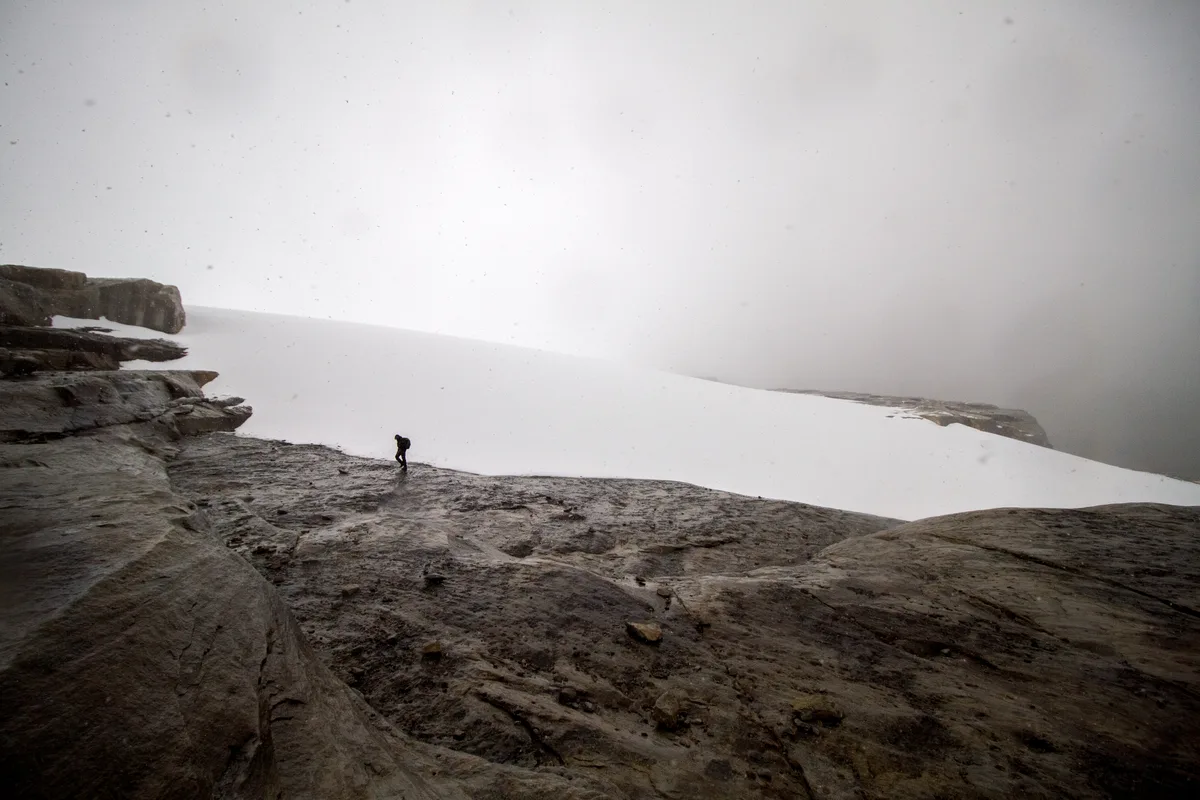
Ascent line, technical cruxes & camp topography profile for Ritacuba Blanco Normal Route (West Glacier)
Mountain Safety & Conditions Disclaimer: High-altitude climbing, glacial travel, and technical ascents entail severe objective risks including avalanches, serac collapses, rapid weather collapse, and altitude illness. Historical route descriptions and summit claims on Mountanity reflect documented archival sources and must not be used as live operational safety assessments. Local regulations, permits, and physical glacial topography change continuously.
Peer Review: Senior Editorial Board & Historical Reviewers • Editorial Standards
Tactical & Camp Notes
Starting from the cabins at Kanwara (4,000 m), climbers ascend well-defined trails past the frailejones of the high paramo to gain the lateral moraine at 4,600 metres. Roping up at the glacier snout (4,800 m), the route zigzags up consistent 35°–40° firn ramps, crossing occasional transverse crevasses. Near 5,250 metres, slopes steepen to 45° as the route nears the summit shoulder. The final 100 metres follow a spectacular, narrow snow arête with dramatic exposure over the vertical eastern rock walls, culminating at the 5,410-metre summit.
Interactive Elevation Profile
Vertical profile, technical cruxes, and camp staging progression for Ritacuba Blanco Normal Route (West Glacier) on Ritacuba Blanco.
Rustic alpine lodge providing comfortable staging and acclimatization at the foot of El Cocuy.
Camp-by-Camp Topography
Key staging altitudes, technical cruxes, and terrain transitions for Ritacuba Blanco Normal Route (West Glacier).
Cabañas Kanwara
Rustic alpine lodge providing comfortable staging and acclimatization at the foot of El Cocuy.
Moraine High Camp
Tent camp positioned on level moraine gravel directly beneath the glacier tongue.
Ritacuba Blanco Summit
Airy snow cornice crowning the Cordillera Oriental of Colombia.
Topographic Location & Terrain Map
Cartographic datum, massif coordinates, and terrain context for Ritacuba Blanco Normal Route (West Glacier) on Ritacuba Blanco.
Interactive Topographic Terrain Map
Click below to load live cartographic contours, glacier approaches, and geographic markers for Ritacuba Blanco (6°29′48″ N, 72°17′26″ W).
Key Statistics & Topographic Figures
- Technical Grade
- PD+ (40°–45° Firn Ramps, Cornice Hazard)
- Elevation Gain
- 1,410 m (from Kanwara)
- Summit Altitude
- 5,410 m (17,749 ft)
- Route Length
- Approx. 12 km round-trip
Archival Primary Source Quotations
“The western glacier of Ritacuba Blanco offers one of the most aesthetic and continuous firn ascents in the northern cordillera.”
Defined Alpine Terminology & Concepts
- Summit Knife-Edge
- A razor-thin snow or rock ridge where opposite mountain flanks drop away steeply on both sides.
Frequently Asked Questions: Ritacuba Blanco Normal Route (West Glacier)
How difficult is the West Glacier route on Ritacuba Blanco?
Graded PD+, the route ascends steady 40°–45° snow and firn ramps, crossing moderate crevasse bridges to reach a spectacular knife-edge summit cornice.
Where do climbers camp on Ritacuba Blanco?
Climbers typically stage from Cabañas Kanwara (4,000 m) and establish a high camp on the western moraine at 4,600 metres.
What hazard exists at the summit of Ritacuba Blanco?
Large overhanging snow cornices project eastward over a sheer 1,000-metre vertical precipice dropping toward the Amazonian llanos.
Mountain Ascended
Ritacuba Blanco
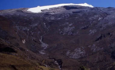
Ritacuba Blanco is the 5,410-metre crowning peak of the Cordillera Oriental of Colombia and the Sierra Nevada del Cocuy. Dominated by a massive western ice sheet and sheer eastern rock walls dropping precipitously toward the Amazonian llanos, Ritacuba Blanco is celebrated for its pristine glaciated ramps and high-altitude paramo lakes. The mountain was first climbed on April 3, 1942, by Erwin Kraus, Guido Tamayo, and Heriberto Degen.
Documented Expeditions on this Route (1)
Verified historical summits, siege campaigns, and pioneer attempts recorded on Ritacuba Blanco Normal Route (West Glacier).
1942 Erwin Kraus and Guido Tamayo Ritacuba Blanco Historic First Ascent Expedition
On April 3, 1942, Colombian pioneers Erwin Kraus, Guido Tamayo, and Heriberto Degen completed the historic first ascent of Ritacuba Blanco (5,410 m). Climbing untracked western glaciers and negotiating a corniced summit arête, they conquered the supreme monarch of the Sierra Nevada del Cocuy.
Archival Chronicles & Stories on this Route (1)
In-depth longform historical narratives, harrowing survival accounts, and firsthand alpine journals on Ritacuba Blanco Normal Route (West Glacier).
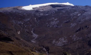
White Fortress of El Cocuy: Kraus and Tamayo on Ritacuba Blanco in 1942
On April 3, 1942, Colombian pioneers Erwin Kraus and Guido Tamayo completed the historic first ascent of Ritacuba Blanco (5,410 m), crowning the Sierra Nevada del Cocuy.
Documented Sources & Archival Citations
- Ascensiones en la Sierra Nevada del Cocuy(Erwin Kraus / Revista Pan)
Supporting claim: Firsthand technical route narrative of the 1942 first ascent
Accessed/Documented: 1943 - Guía de Escalada en Colombia(Club de Montañismo de Colombia)
Supporting claim: Modern alpine route specifications for the West Glacier of Ritacuba Blanco
Accessed/Documented: 2015