Ritacuba Blanco
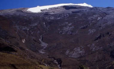
Ritacuba Blanco is the 5,410-metre crowning peak of the Cordillera Oriental of Colombia and the Sierra Nevada del Cocuy. Dominated by a massive western ice sheet and sheer eastern rock walls dropping precipitously toward the Amazonian llanos, Ritacuba Blanco is celebrated for its pristine glaciated ramps and high-altitude paramo lakes.
Mountain Safety & Conditions Disclaimer: High-altitude climbing, glacial travel, and technical ascents entail severe objective risks including avalanches, serac collapses, rapid weather collapse, and altitude illness. Historical route descriptions and summit claims on Mountanity reflect documented archival sources and must not be used as live operational safety assessments. Local regulations, permits, and physical glacial topography change continuously.
Peer Review: Senior Editorial Board & Historical Reviewers • Editorial Standards
Geographical Setting & Topography
Located in the department of Boyacá along the crest of the Eastern Cordillera, Ritacuba Blanco forms the northern terminus of the high Sierra Nevada del Cocuy ice plateau. The peak acts as a critical watershed between the Magdalena River basin and the Orinoco River plains, catching condensation from the eastern savannahs to feed extensive glacial ramps.
Historic First Ascent
Date: 1942-04-03
Ascent Team: Erwin Kraus, Guido Tamayo, and Heriberto Degen
Key Statistics & Topographic Figures
- Summit Elevation
- 5,410 m (17,749 ft)
- Topographic Prominence
- 2,120 m
- First Ascent
- April 3, 1942 (Kraus, Tamayo, Degen)
- Range
- Sierra Nevada del Cocuy (Boyacá)
- Normal Route Grade
- PD+ (40°–45° West Glacier)
Archival Primary Source Quotations
“Ritacuba Blanco is the grand white altar of the Colombian cordillera, gleaming above the eastern plains.”
Defined Alpine Terminology & Concepts
- Cocuy Ice Sheet
- The expansive continuous glacial sheet mantling the western slopes of the highest peaks in Boyacá, Colombia.
Ritacuba Blanco Mountain Weather Forecast
Detailed 14-Day Summit Window & Weather Timeline
Explore day-by-day summit push safety windows, wind shear analysis, and extended multi-day forecasts for Ritacuba Blanco.
Explore Ritacuba Blanco (5,410 m) in Interactive 3D
Inspect steep glacial walls, hanging seracs, ridge approaches, and elevation relief with 360° rotation and terrain tilt in WebGL.
Documented Climbing Routes (1)
Ritacuba Blanco Normal Route (West Glacier)
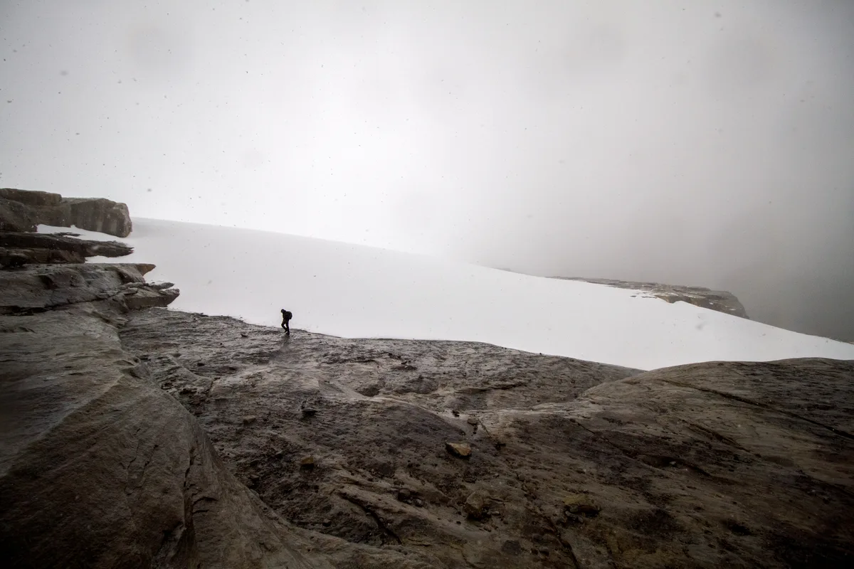
The classic ascent of Ritacuba Blanco ascends the expansive western glacier sheet of El Cocuy from the Kanwara cabins. Featuring steady 35°-45° snow slopes, crossing moderate crevasse bridges, the route tops out on an airy corniced summit knife-edge overlooking a sheer 1,000-metre drop into the eastern llanos.
Historical Expeditions (1)
1942 Erwin Kraus and Guido Tamayo Ritacuba Blanco Historic First Ascent Expedition
On April 3, 1942, Colombian pioneers Erwin Kraus, Guido Tamayo, and Heriberto Degen completed the historic first ascent of Ritacuba Blanco (5,410 m). Climbing untracked western glaciers and negotiating a corniced summit arête, they conquered the supreme monarch of the Sierra Nevada del Cocuy.
Summit Chronicles & Stories (1)
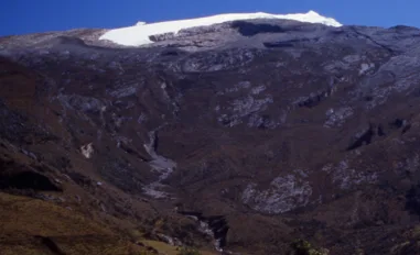
White Fortress of El Cocuy: Kraus and Tamayo on Ritacuba Blanco in 1942
On April 3, 1942, Colombian pioneers Erwin Kraus and Guido Tamayo completed the historic first ascent of Ritacuba Blanco (5,410 m), crowning the Sierra Nevada del Cocuy.
Frequently Asked Questions: Ritacuba Blanco
What is Ritacuba Blanco?
Ritacuba Blanco is the highest mountain in the Cordillera Oriental of Colombia, rising to 5,410 metres in the Sierra Nevada del Cocuy.
Who achieved the first ascent of Ritacuba Blanco?
Erwin Kraus, Guido Tamayo, and Heriberto Degen completed the historic maiden first ascent on April 3, 1942.
What is the climbing difficulty of Ritacuba Blanco?
The normal route via the West Glacier is graded PD+, featuring 40°–45° firn slopes and an exposed summit snow cornice above a vertical 1,000-metre east face.
Where does the ascent of Ritacuba Blanco begin?
The standard climb begins from Cabañas Kanwara at 4,000 metres near the town of Güicán in Boyacá.
Documented Sources & Archival Citations
- Ascensiones en la Sierra Nevada del Cocuy(Erwin Kraus / Revista Pan)
Supporting claim: Firsthand narrative of the historic 1942 first ascent of Ritacuba Blanco
Accessed/Documented: 1943 - Glaciares de Colombia(Instituto de Hidrología, Meteorología y Estudios Ambientales (IDEAM))
Supporting claim: Topographic and glaciological data for Ritacuba Blanco and El Cocuy glaciers
Accessed/Documented: 2012