Ushba North Peak Northeast Ridge
The legendary classic testpiece of the central Caucasus, ascending from the Ushba Glacier plateau up the razor-sharp Northeast Ridge to the 4,690-metre summit of Ushba North Peak. Demanding world-class alpine prowess, sustained cramponing on 55-degree glacial ice, and exposure to sudden Caucasian thunderstorms.
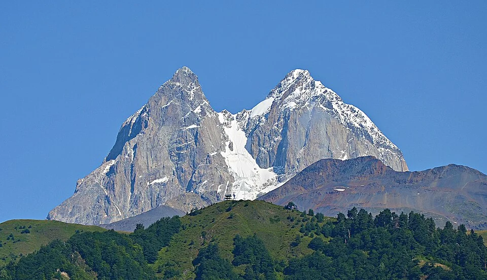
Ascent line, technical cruxes & camp topography profile for Ushba North Peak Northeast Ridge
Mountain Safety & Conditions Disclaimer: High-altitude climbing, glacial travel, and technical ascents entail severe objective risks including avalanches, serac collapses, rapid weather collapse, and altitude illness. Historical route descriptions and summit claims on Mountanity reflect documented archival sources and must not be used as live operational safety assessments. Local regulations, permits, and physical glacial topography change continuously.
Peer Review: Senior Editorial Board & Historical Reviewers • Editorial Standards
Tactical & Camp Notes
Beginning from the high Ushba Glacier plateau at 3,900 metres, climbers cross an active bergschrund to enter a sustained 50-to-55-degree glacial couloir. Gaining the Northeast Ridge crest, the route becomes an extraordinarily exposed knife-edge of ice and cornices with vertical drops on both sides. Climbers navigate delicate snow bridges, straddling the arête before tackling several pitches of steep UIAA IV-V granite blocks on the summit pyramid, topping out on the 4,690-metre North Peak.
Interactive Elevation Profile
Vertical profile, technical cruxes, and camp staging progression for Ushba North Peak Northeast Ridge on Ushba.
Glacial tent bivouac situated on the upper Russian plateau beneath the northern wall.
Camp-by-Camp Topography
Key staging altitudes, technical cruxes, and terrain transitions for Ushba North Peak Northeast Ridge.
Ushba Glacier High Camp
Glacial tent bivouac situated on the upper Russian plateau beneath the northern wall.
Northeast Ridge Shoulder Bivouac
Exposed ice-ledge bivy chopped into the corniced crest beneath the crux towers.
Ushba North Peak Summit
Razor-sharp granite summit overlooking the chasm to Ushba South Peak and Svaneti.
Topographic Location & Terrain Map
Cartographic datum, massif coordinates, and terrain context for Ushba North Peak Northeast Ridge on Ushba.
Interactive Topographic Terrain Map
Click below to load live cartographic contours, glacier approaches, and geographic markers for Ushba (43°07′33″ N, 42°39′38″ E).
Key Statistics & Topographic Figures
- Technical Grade
- TD- / Russian 4A
- Elevation Gain
- 2,000 m
- Ice Steepness
- 50°–55° sustained
- Rock Difficulty
- UIAA IV to V
Archival Primary Source Quotations
“The Northeast Ridge of Ushba is an aerial tightrope between the kingdoms of snow and sky.”
Defined Alpine Terminology & Concepts
- Corniced Ice Arête
- A razor-sharp ridge crest formed by wind-deposited snow overhanging a precipice, requiring precise balance and step-cutting.
- Ushba Plateau
- The high glaciated amphitheatre at 3,900 metres beneath the northern face of Ushba, used as the launch point for summit climbs.
Frequently Asked Questions: Ushba North Peak Northeast Ridge
What is the Northeast Ridge of Mount Ushba?
It is the classic technical route up Ushba North Peak (4,690 m), ascending from the Ushba Glacier plateau along a sharp mixed ice and granite crest.
What is the technical grade of the Ushba Northeast Ridge?
The route is graded TD- (Très Difficile) or Russian 4A, featuring sustained 50- to 55-degree glacial ice and UIAA IV-V rock climbing.
Who pioneered the Northeast Ridge of Ushba?
English climber John Garford Cockin and Swiss guide Ulrich Almer made the first ascent of the ridge on July 26, 1888.
Why is the Northeast Ridge considered dangerous?
The ridge suffers from massive overhanging cornices, severe exposure over 1,500-metre drops, and violent afternoon electrical storms.
Mountain Ascended
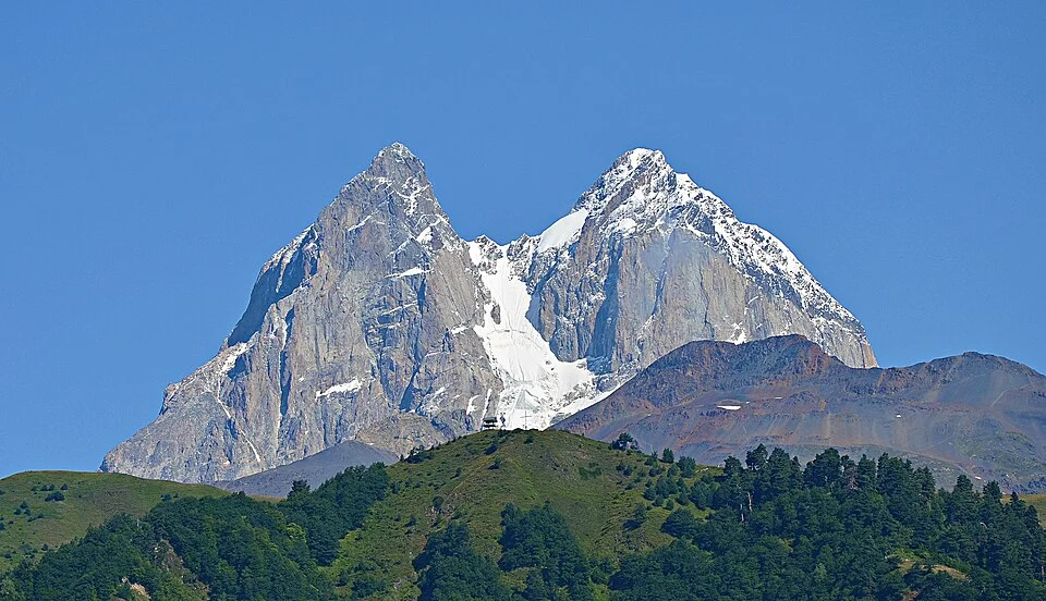

Ushba
Ushba is a legendary double-peaked granite horn in the Svaneti region of Georgia, universally celebrated as the 'Matterhorn of the Caucasus' and widely regarded as the most difficult technical mountaineering objective in the entire Caucasus range. Rising with breathtaking vertical ferocity above the high valleys of Mestia, Ushba features a South Peak (4,710 m) and a North Peak (4,690 m) separated by a jagged, corniced saddle. The North Peak was first climbed in 1888 by English mountaineer John Garford Cockin and Swiss guide Ulrich Almer, while the South Peak was first conquered in 1903 by a daring German-Austrian team led by Adolf Schulze, Willi Rickmer Rickmers, and Cenzi von Ficker.
Documented Expeditions on this Route (2)
Verified historical summits, siege campaigns, and pioneer attempts recorded on Ushba North Peak Northeast Ridge.
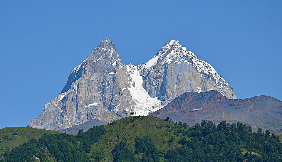
1888 John Garford Cockin and Ulrich Almer Mount Ushba North Peak Historic First Ascent Expedition
On July 26, 1888, English mountaineer John Garford Cockin and Swiss guide Ulrich Almer achieved the historic maiden first ascent of Mount Ushba North Peak (4,690 m) in Svaneti, Georgia. Overcoming sheer ice gullies and knife-edge corniced granite ridges, they conquered the most feared technical horn in the Caucasus.
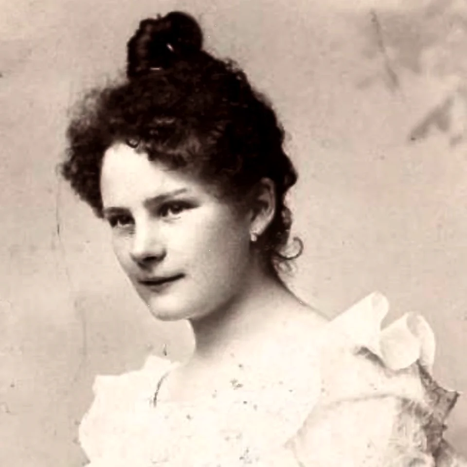
1903 Adolf Schulze, Cenzi von Ficker and Willi Rickmers Mount Ushba South Peak Historic First Ascent Expedition
On July 26, 1903, an elite Austro-German expedition led by Adolf Schulze, Cenzi von Ficker, and Willi Rickmer Rickmers completed the first ascent of Mount Ushba South Peak (4,710 m), the highest and most difficult summit of the mountain. Following the epic climb, Prince Dadeshkeliani of Svaneti officially deeded Mount Ushba to Cenzi von Ficker.
Archival Chronicles & Stories on this Route (2)
In-depth longform historical narratives, harrowing survival accounts, and firsthand alpine journals on Ushba North Peak Northeast Ridge.
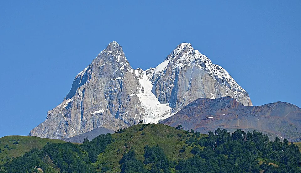
Fang of the Goddess: The 1888 First Ascent of Mount Ushba North Peak
On July 26, 1888, John Garford Cockin and Ulrich Almer conquered the terrifying Northeast Ridge of Mount Ushba North Peak (4,690 m) in Svaneti.
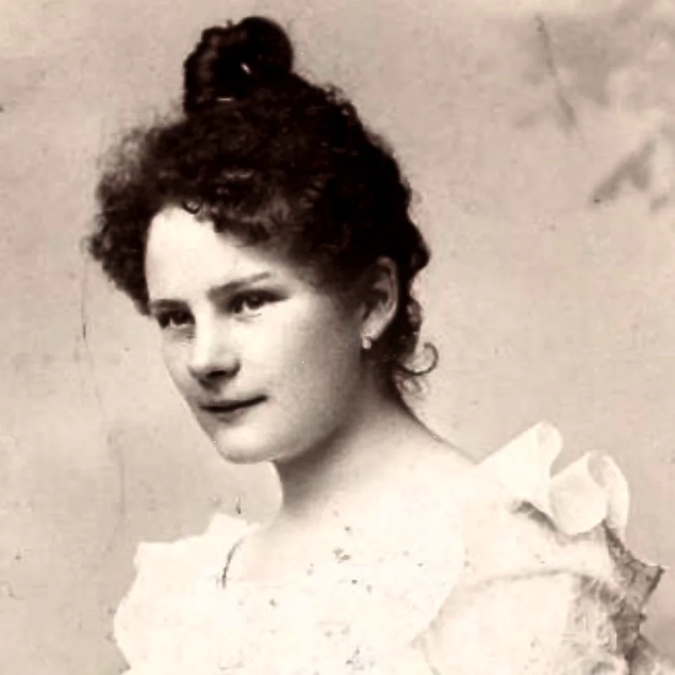
Uschba-Mädel: The 1903 First Ascent of Ushba South Peak and the Gift of a Mountain
On July 26, 1903, Adolf Schulze and Cenzi von Ficker conquered Ushba South Peak (4,710 m). In tribute, Prince Dadeshkeliani of Svaneti deeded Mount Ushba to Cenzi.
Documented Sources & Archival Citations
- The Exploration of the Caucasus(Douglas William Freshfield / Edward Arnold)
Supporting claim: Firsthand technical description of the 1888 first ascent
Accessed/Documented: 1896