
Indonesia
Spanning the equator between Asia and Oceania, Indonesia encompasses extraordinary mountain environments ranging from active volcanic island arcs to the glaciated limestone cordillera of Central Papua. The country hosts Carstensz Pyramid (Puncak Jaya, 4,884 m), the highest peak in Oceania and the highest point between the Himalayas and the Andes.
Peer Review: Senior Editorial Board & Historical Reviewers • Editorial Standards
Key Statistics & Topographic Figures
- Archive Classification
- COUNTRIES
Mountanity Knowledge Corpus
- Verification Status
- Editorially Verified
Archival Standards
- Citation Standard
- Primary Source Verified
Alpine Research Desk
Mountain Peaks in Indonesia
Technical profiles, elevations, and ascent histories for summits located in or spanning Indonesia.
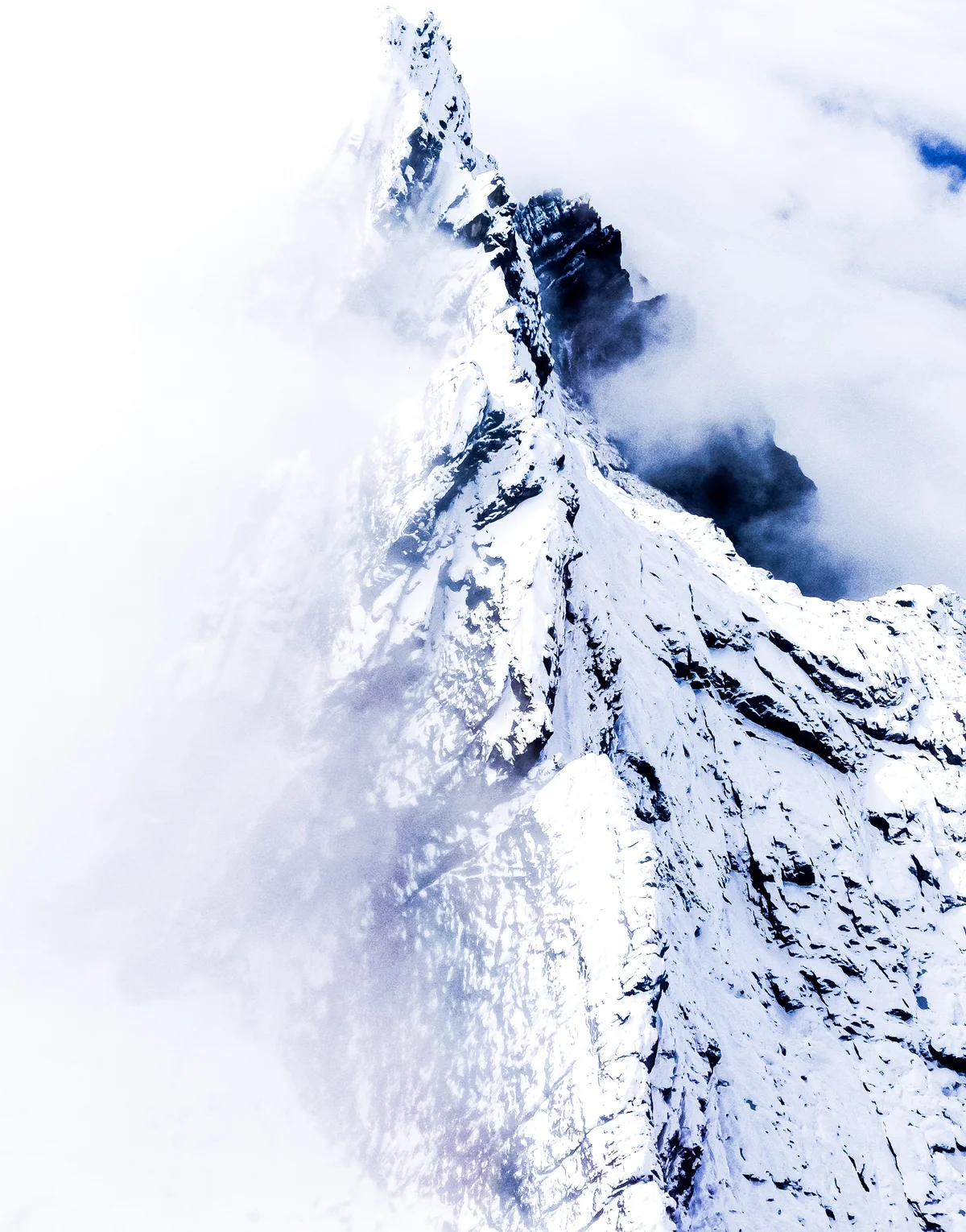
Carstensz Pyramid / Puncak Jaya
Carstensz Pyramid (Puncak Jaya / Nemangkawi) is the highest mountain in Indonesia, the highest island peak on Earth, and the highest summit in Oceania at 4,884 metres (16,024 ft). As one of the Seven Summits, it presents the unique challenge of technical limestone rock climbing above dense equatorial cloud forests and vanishing tropical glaciers. First climbed on February 13, 1962, by an expedition led by Austrian mountaineer Heinrich Harrer alongside Philip Temple, Russell Kippax, and Albertus Huizenga, Carstensz Pyramid requires ascending vertical limestone slabs and crossing a famous Tyrolean traverse across a sheer 15-metre chasm high on the summit ridge.
Mountain Ranges Spanning Indonesia
Geographic mountain massifs, regional topography, and glaciated chains within Indonesia.
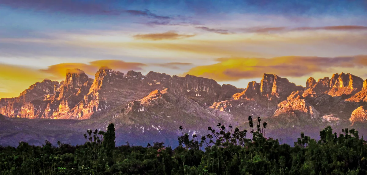
Sudirman Range
The Sudirman Range (Barisan Sudirman / Snow Mountains) forms the western portion of the Maoke Mountains in the central highlands of Central Papua, Indonesia. Rising dramatically from equatorial tropical rainforests to soaring limestone massifs crowned by equatorial glaciers, it is home to Carstensz Pyramid (Puncak Jaya, 4,884 m), the highest island mountain on Earth and the summit peak of Oceania.
Documented Climbing Routes
Classic lines of ascent, technical difficulties, and objective hazards across Indonesia's summits.
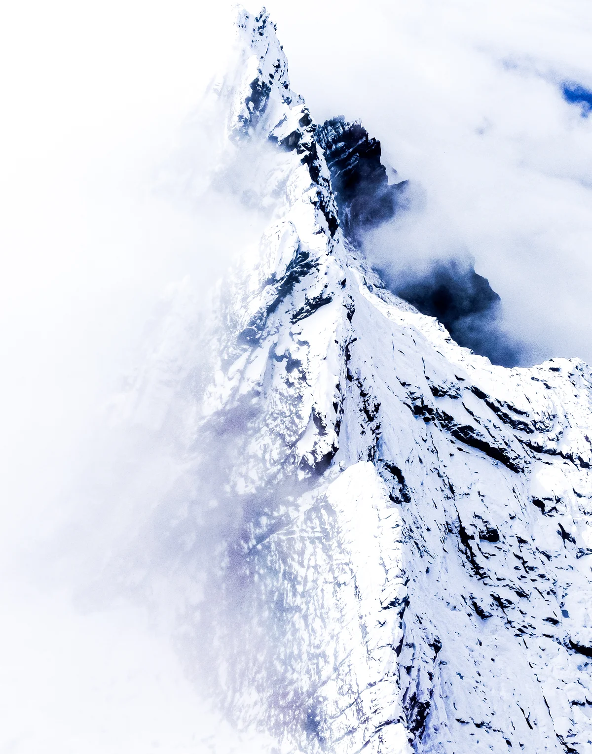
Normal Route of Carstensz Pyramid (Harrer Route)
The Normal Route (also known as the Harrer Route) is the historic standard line of ascent up Carstensz Pyramid / Puncak Jaya (4,884 m), the highest peak in Oceania. Rising from the Yellow Valley Base Camp, the route tackles the sheer northern limestone wall through steep gullies, fluted water-sculpted rock channels, and friction slabs (UIAA IV-V / 5.6-5.7). High on the summit ridge, climbers confront the world-famous Tyrolean Traverse: an exposed crossing on steel cables directly above a 15-metre-wide, 100-metre-deep vertical chasm. First established on February 13, 1962, by Heinrich Harrer, Philip Temple, Russell Kippax, and Albertus Huizenga, it is the only route among the Seven Summits requiring sustained technical multi-pitch rock climbing.
Historic Expeditions & First Ascents
Epoch-making sieges and triumphant summits recorded within Indonesia's alpine history.
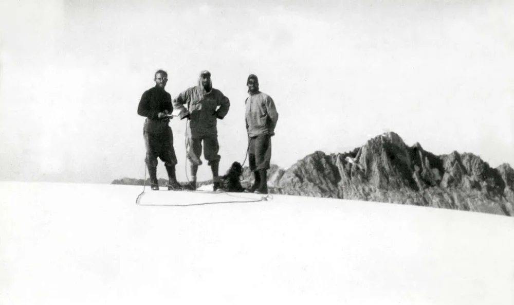
1962 Heinrich Harrer and Philip Temple Historic First Ascent of Carstensz Pyramid / Puncak Jaya
On February 13, 1962, a four-man international expedition led by Austrian mountaineer Heinrich Harrer and New Zealander Philip Temple, accompanied by Australian Russell Kippax and Dutchman Albertus Huizenga, achieved the maiden first ascent of Carstensz Pyramid (4,884 m) in Western New Guinea. Conquering steep limestone slabs and rigging a cable traverse across an abyss, they claimed the highest island peak on Earth.
Archival Primary Source Quotations
“Great things are done when men and mountains meet; this is not done by jostling in the street.”
Defined Alpine Terminology & Concepts
- Archival Integrity
- The standard of verifying historical mountain facts, summit claims, and altitudes using primary expeditions journals and geodetic measurements.
Frequently Asked Questions: Indonesia Mountaineering
What historical significance does this countrie hold?
Indonesia represents an essential chapter in global mountaineering heritage, verified through contemporary expedition journals and archival sources.
How are the facts and records for Indonesia verified?
All records are checked against peer-reviewed journals, national alpine clubs, geodetic surveys, and the Mountanity Archival Integrity Policy.