Normal Route of Carstensz Pyramid (Harrer Route)
The Normal Route (also known as the Harrer Route) is the historic standard line of ascent up Carstensz Pyramid / Puncak Jaya (4,884 m), the highest peak in Oceania. Rising from the Yellow Valley Base Camp, the route tackles the sheer northern limestone wall through steep gullies, fluted water-sculpted rock channels, and friction slabs (UIAA IV-V / 5.
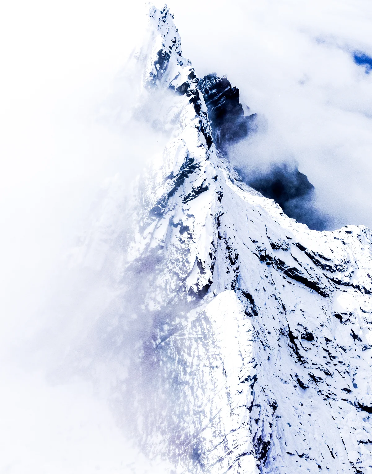
Ascent line, technical cruxes & camp topography profile for Normal Route of Carstensz Pyramid (Harrer Route)
Mountain Safety & Conditions Disclaimer: High-altitude climbing, glacial travel, and technical ascents entail severe objective risks including avalanches, serac collapses, rapid weather collapse, and altitude illness. Historical route descriptions and summit claims on Mountanity reflect documented archival sources and must not be used as live operational safety assessments. Local regulations, permits, and physical glacial topography change continuously.
Peer Review: Senior Editorial Board & Historical Reviewers • Editorial Standards
Tactical & Camp Notes
The tropical limestone is extremely abrasive and sharp ('knife-blade rock'), capable of fraying climbing ropes. Torrential equatorial rain, freezing sleet, and dense afternoon fog are almost guaranteed daily.
Identified Objective Hazards
- •Extremely sharp karst limestone that rapidly damages ropes, clothing, and bare hands
- •Hypothermia from relentless equatorial rainstorms that transform into freezing sleet and blizzards above 4,500 metres
- •Severe vertical exposure along the serrated summit knife-edge ridge
- •Extreme geopolitical and wilderness isolation in the high Papua interior, requiring multi-day evacuation protocols in emergencies
Historical Context
Pioneered on February 13, 1962, by an expedition led by Heinrich Harrer and Philip Temple with Russell Kippax and Albertus Huizenga. Harrer, drawing on his Eiger North Face experience, rigged the original ropes to bridge the summit chasm.
Interactive Elevation Profile
Vertical profile, technical cruxes, and camp staging progression for Normal Route of Carstensz Pyramid (Harrer Route) on Carstensz Pyramid / Puncak Jaya.
Remote highland airstrip serving as the staging hub for trekking caravans through dense Papuan jungle or helicopter transfers.
Camp-by-Camp Topography
Key staging altitudes, technical cruxes, and terrain transitions for Normal Route of Carstensz Pyramid (Harrer Route).
Sugapa / Timika Staging
Remote highland airstrip serving as the staging hub for trekking caravans through dense Papuan jungle or helicopter transfers.
Yellow Valley Base Camp (Danau-Danau)
Alpine base camp pitched among turquoise glacial lakes below the soaring northern limestone wall of Carstensz Pyramid.
North Face Gullies & Slabs
Continuous steep limestone pitches on sharp water-grooved rock requiring constant rope management.
The Tyrolean Traverse Chasm
The sensational summit ridge notch: a 15-metre void spanned by a tensioned steel cable and rope pulleys high above a sheer abyss.
Puncak Jaya Summit Crest
The narrow limestone summit ridge perched above the Carstensz and Meren Glacier remnants, marking the highest point in Australasia.
Topographic Location & Terrain Map
Cartographic datum, massif coordinates, and terrain context for Normal Route of Carstensz Pyramid (Harrer Route) on Carstensz Pyramid / Puncak Jaya.
Interactive Topographic Terrain Map
Click below to load live cartographic contours, glacier approaches, and geographic markers for Carstensz Pyramid / Puncak Jaya (4°05′00″ S, 137°11′00″ E).
Key Statistics & Topographic Figures
- Route Type
- Technical Limestone Rock Face & Ridge Traverse
Topography
- Technical Difficulty
- Extremely Technical & Remote / UIAA V, 5.7 Rock
UIAA IV-V / 5.7 rock, Tyrolean cable traverse, fixed rope ascents in rain/sleet
- Country / Region
- Indonesia (Central Papua / Sudirman Range)
Location
Archival Primary Source Quotations
“A mountain route is not merely a path of rock and ice; it is a test of human endurance, judgment, and humility.”
Defined Alpine Terminology & Concepts
- Crux
- The most difficult and technically demanding pitch or section of a climbing route.
- Normal Route (Voie Normale)
- The most frequently climbed, least technical, and historically standard path to a mountain summit.
Frequently Asked Questions: Normal Route of Carstensz Pyramid (Harrer Route)
What is the climbing difficulty and grade of Normal Route of Carstensz Pyramid (Harrer Route)?
Normal Route of Carstensz Pyramid (Harrer Route) on carstensz-pyramid is graded as Extremely Technical & Remote / UIAA V, 5.7 Rock, with technical climbing requirements including UIAA IV-V / 5.7 rock, Tyrolean cable traverse, fixed rope ascents in rain/sleet.
What are the primary hazards on the Normal Route of Carstensz Pyramid (Harrer Route)?
Climbers on Normal Route of Carstensz Pyramid (Harrer Route) must navigate severe objective hazards including Extremely sharp karst limestone that rapidly damages ropes, clothing, and bare hands, Hypothermia from relentless equatorial rainstorms that transform into freezing sleet and blizzards above 4,500 metres, Severe vertical exposure along the serrated summit knife-edge ridge, Extreme geopolitical and wilderness isolation in the high Papua interior, requiring multi-day evacuation protocols in emergencies.
What camps are established on Normal Route of Carstensz Pyramid (Harrer Route)?
Normal Route of Carstensz Pyramid (Harrer Route) typically features 5 staging camps, progressing from Sugapa / Timika Staging (2100m) up toward the summit.
Mountain Ascended
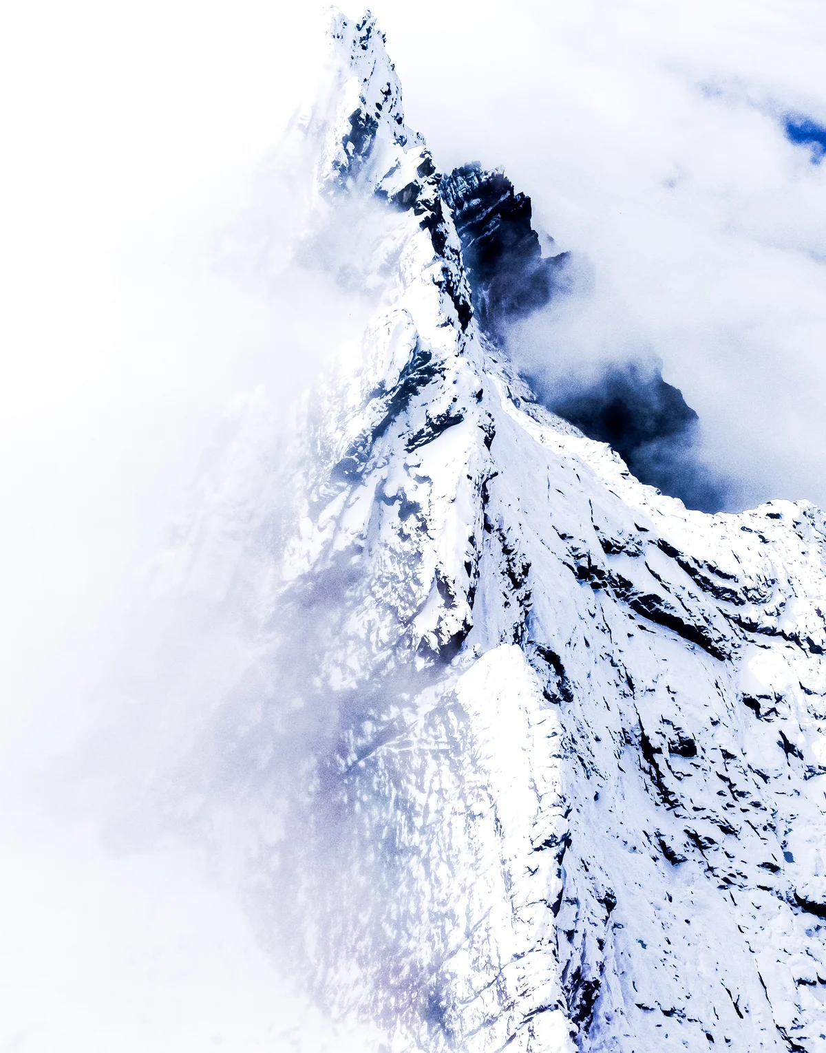

Carstensz Pyramid / Puncak Jaya
Carstensz Pyramid (Puncak Jaya / Nemangkawi) is the highest mountain in Indonesia, the highest island peak on Earth, and the highest summit in Oceania at 4,884 metres (16,024 ft). As one of the Seven Summits, it presents the unique challenge of technical limestone rock climbing above dense equatorial cloud forests and vanishing tropical glaciers. First climbed on February 13, 1962, by an expedition led by Austrian mountaineer Heinrich Harrer alongside Philip Temple, Russell Kippax, and Albertus Huizenga, Carstensz Pyramid requires ascending vertical limestone slabs and crossing a famous Tyrolean traverse across a sheer 15-metre chasm high on the summit ridge.
Documented Expeditions on this Route (1)
Verified historical summits, siege campaigns, and pioneer attempts recorded on Normal Route of Carstensz Pyramid (Harrer Route).
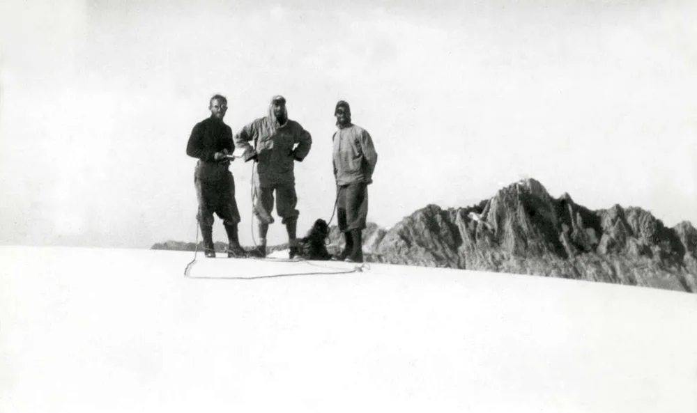
1962 Heinrich Harrer and Philip Temple Historic First Ascent of Carstensz Pyramid / Puncak Jaya
On February 13, 1962, a four-man international expedition led by Austrian mountaineer Heinrich Harrer and New Zealander Philip Temple, accompanied by Australian Russell Kippax and Dutchman Albertus Huizenga, achieved the maiden first ascent of Carstensz Pyramid (4,884 m) in Western New Guinea. Conquering steep limestone slabs and rigging a cable traverse across an abyss, they claimed the highest island peak on Earth.
Archival Chronicles & Stories on this Route (1)
In-depth longform historical narratives, harrowing survival accounts, and firsthand alpine journals on Normal Route of Carstensz Pyramid (Harrer Route).
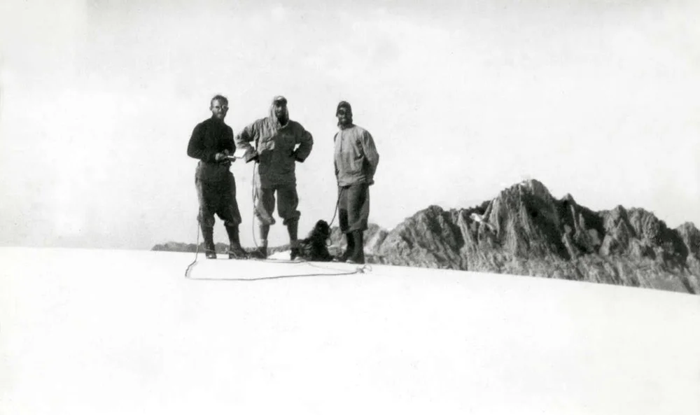
Chasm of the Equator: The 1962 First Ascent of Carstensz Pyramid
Through cannibal territory to equatorial glaciers: Heinrich Harrer and Philip Temple conquer the supreme summit of Oceania.
Documented Sources & Archival Citations
- I Come from the Stone Age(Heinrich Harrer / Rupert Hart-Davis)
Supporting claim: Detailed first-hand account of pioneering the North Face route and summit ridge
Accessed/Documented: 1964 - Carstensz Pyramid: The Summit of Oceania(Ian Wall / The Alpine Journal)
Supporting claim: Comprehensive modern route description and technical survey
Accessed/Documented: 1994