Carstensz Pyramid / Puncak Jaya
Carstensz Pyramid (Puncak Jaya / Nemangkawi) is the highest mountain in Indonesia, the highest island peak on Earth, and the highest summit in Oceania at 4,884 metres (16,024 ft). As one of the Seven Summits, it presents the unique challenge of technical limestone rock climbing above dense equatorial cloud forests and vanishing tropical glaciers.

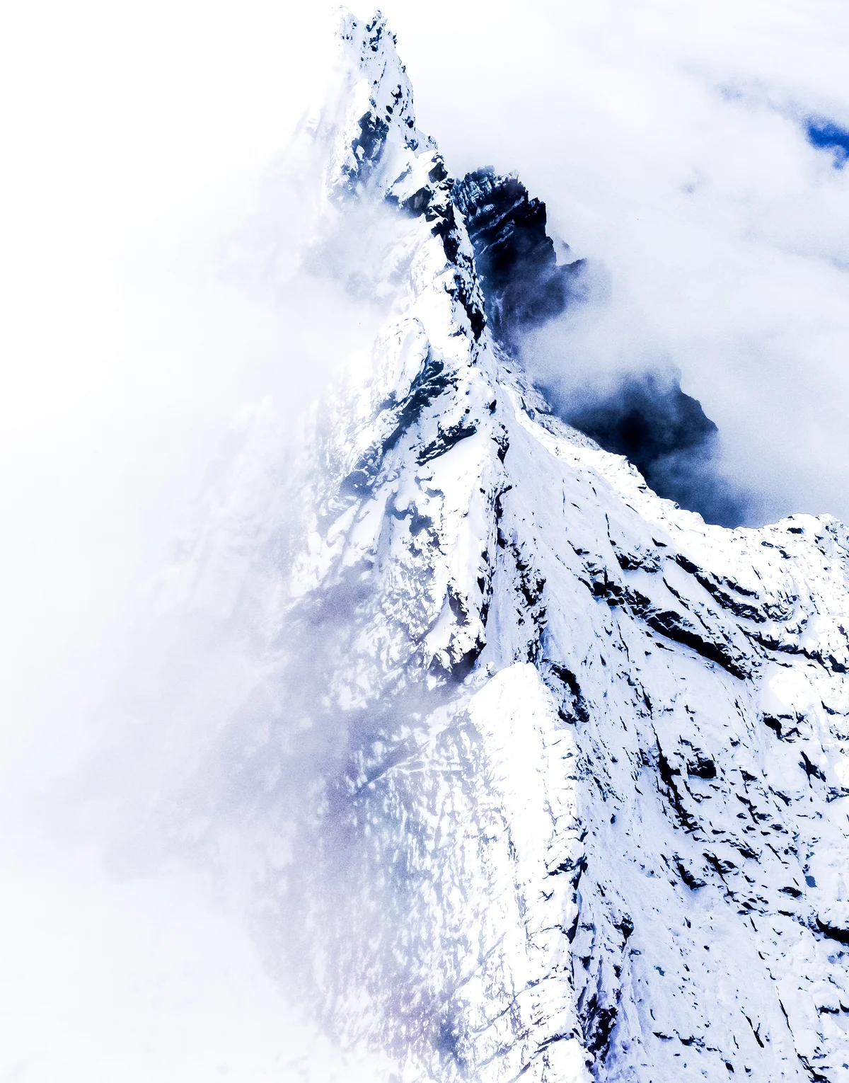
Mountain Safety & Conditions Disclaimer: High-altitude climbing, glacial travel, and technical ascents entail severe objective risks including avalanches, serac collapses, rapid weather collapse, and altitude illness. Historical route descriptions and summit claims on Mountanity reflect documented archival sources and must not be used as live operational safety assessments. Local regulations, permits, and physical glacial topography change continuously.
Peer Review: Senior Editorial Board & Historical Reviewers • Editorial Standards
Geographical Setting & Topography
Sudirman Range, Lorentz National Park buffer / Central Papua, Indonesia.
Historic First Ascent
Date: February 13, 1962
Ascent Team: Heinrich Harrer, Philip Temple, Russell Kippax, and Albertus Huizenga
Key Statistics & Topographic Figures
- Official Elevation
- 4,884 metres (16,024 ft)
- Prominence
- 4,884 metres (Ultra-prominent)
- First Ascent
- February 13, 1962
- Mountain Range
- Sudirman Range
- Continental Apex
- Highest Peak in Oceania (Seven Summit)
Archival Primary Source Quotations
“On Carstensz Pyramid, the climber faces not snow but bare, wet limestone rising out of tropical jungles into freezing cloud.”
Defined Alpine Terminology & Concepts
- Knife-Blade Rock
- Abrasive, water-carved karst limestone with razor-sharp edges found on the north face of Carstensz Pyramid.
- Equatorial Cirque
- An amphitheatre-like valley formed by glacial erosion near the equator, such as the Yellow Valley beneath Carstensz.
Carstensz Pyramid / Puncak Jaya Mountain Weather Forecast
Detailed 14-Day Summit Window & Weather Timeline
Explore day-by-day summit push safety windows, wind shear analysis, and extended multi-day forecasts for Carstensz Pyramid / Puncak Jaya.
Explore Carstensz Pyramid / Puncak Jaya (4,884 m) in Interactive 3D
Inspect steep glacial walls, hanging seracs, ridge approaches, and elevation relief with 360° rotation and terrain tilt in WebGL.
Documented Climbing Routes (1)
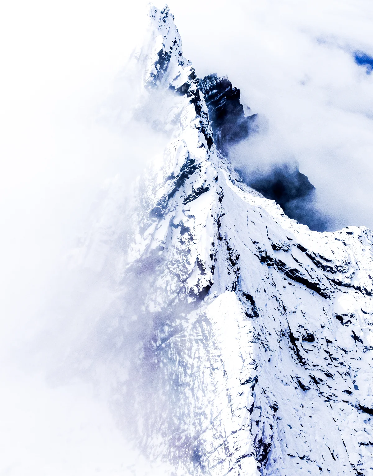
Normal Route of Carstensz Pyramid (Harrer Route)
The Normal Route (also known as the Harrer Route) is the historic standard line of ascent up Carstensz Pyramid / Puncak Jaya (4,884 m), the highest peak in Oceania. Rising from the Yellow Valley Base Camp, the route tackles the sheer northern limestone wall through steep gullies, fluted water-sculpted rock channels, and friction slabs (UIAA IV-V / 5.6-5.7). High on the summit ridge, climbers confront the world-famous Tyrolean Traverse: an exposed crossing on steel cables directly above a 15-metre-wide, 100-metre-deep vertical chasm. First established on February 13, 1962, by Heinrich Harrer, Philip Temple, Russell Kippax, and Albertus Huizenga, it is the only route among the Seven Summits requiring sustained technical multi-pitch rock climbing.
Historical Expeditions (1)
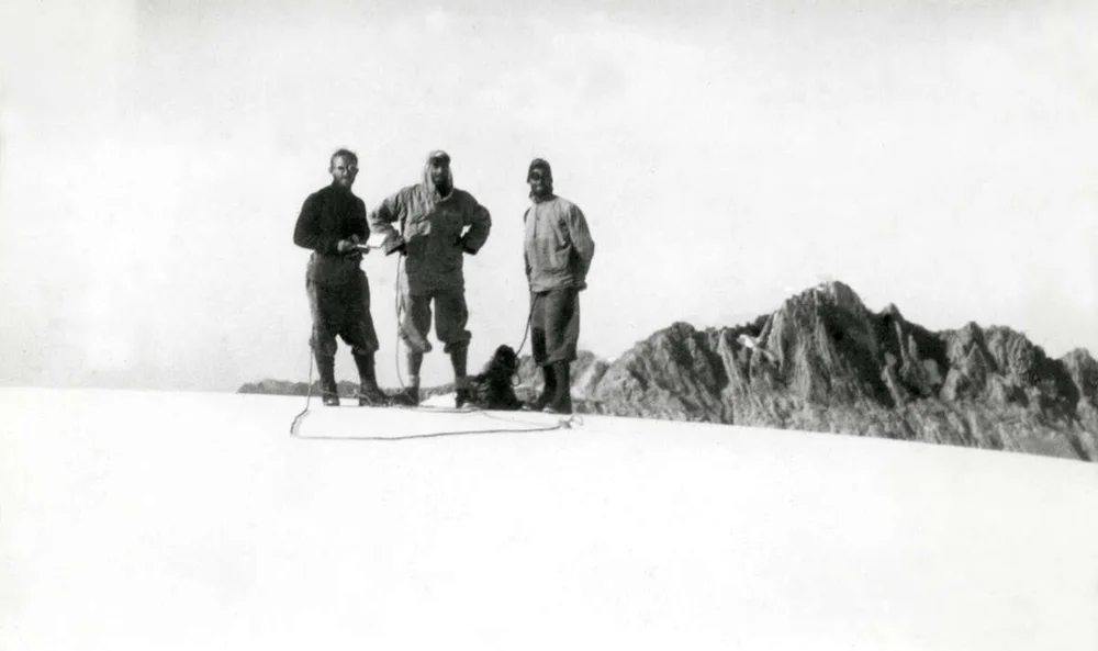
1962 Heinrich Harrer and Philip Temple Historic First Ascent of Carstensz Pyramid / Puncak Jaya
On February 13, 1962, a four-man international expedition led by Austrian mountaineer Heinrich Harrer and New Zealander Philip Temple, accompanied by Australian Russell Kippax and Dutchman Albertus Huizenga, achieved the maiden first ascent of Carstensz Pyramid (4,884 m) in Western New Guinea. Conquering steep limestone slabs and rigging a cable traverse across an abyss, they claimed the highest island peak on Earth.
Summit Chronicles & Stories (1)
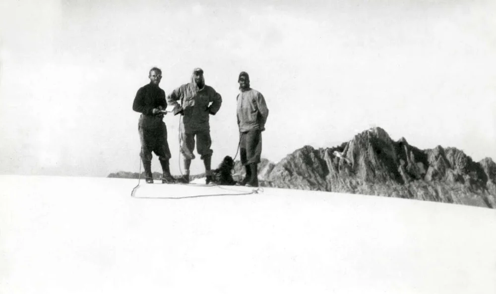
Chasm of the Equator: The 1962 First Ascent of Carstensz Pyramid
Through cannibal territory to equatorial glaciers: Heinrich Harrer and Philip Temple conquer the supreme summit of Oceania.
Frequently Asked Questions: Carstensz Pyramid / Puncak Jaya
What is Carstensz Pyramid and how high is it?
Carstensz Pyramid (Puncak Jaya) is the highest mountain in Oceania and Indonesia at 4,884 metres, and the highest island peak on Earth.
Who conquered Carstensz Pyramid first?
Heinrich Harrer, Philip Temple, Russell Kippax, and Albertus Huizenga achieved the first ascent on February 13, 1962.
Where is Carstensz Pyramid located?
It is located in the Sudirman Range in Central Papua, Western New Guinea, Indonesia.
Documented Sources & Archival Citations
- I Come from the Stone Age(Heinrich Harrer / Rupert Hart-Davis)
Supporting claim: Firsthand official chronicle of the 1962 first ascent expedition
Accessed/Documented: 1964 - The World at Their Feet: The Story of New Zealand Mountaineers(Philip Temple / Whitcombe and Tombs)
Supporting claim: Detailed narrative of the 1962 Carstensz Pyramid expedition
Accessed/Documented: 1969