Biafo Glacier
Also known as: Snow Lake Ice System · Lukpe Lawo
Glaciological Setting & Morphology
Connecting with the Hispar Glacier at the 5,128-metre Hispar La pass, the Biafo Glacier creates a continuous 100-kilometre glacial highway. At its head lies Snow Lake (Lukpe Lawo), a 16-kilometre-wide basin of perpetual ice first mapped in 1892 by Martin Conway.
Documented Environmental & Terminus Trends
Classic Karakoram Anomaly behavior with long periods of terminus stability and occasional surges into the Basha River basin.
Scientific Observations & Flow Dynamics
Radar soundings at Snow Lake indicate ice depths exceeding 1,000 metres, representing one of the largest single reservoirs of high-altitude fresh water outside the polar ice caps.
Surrounding Mountain Summits (3)
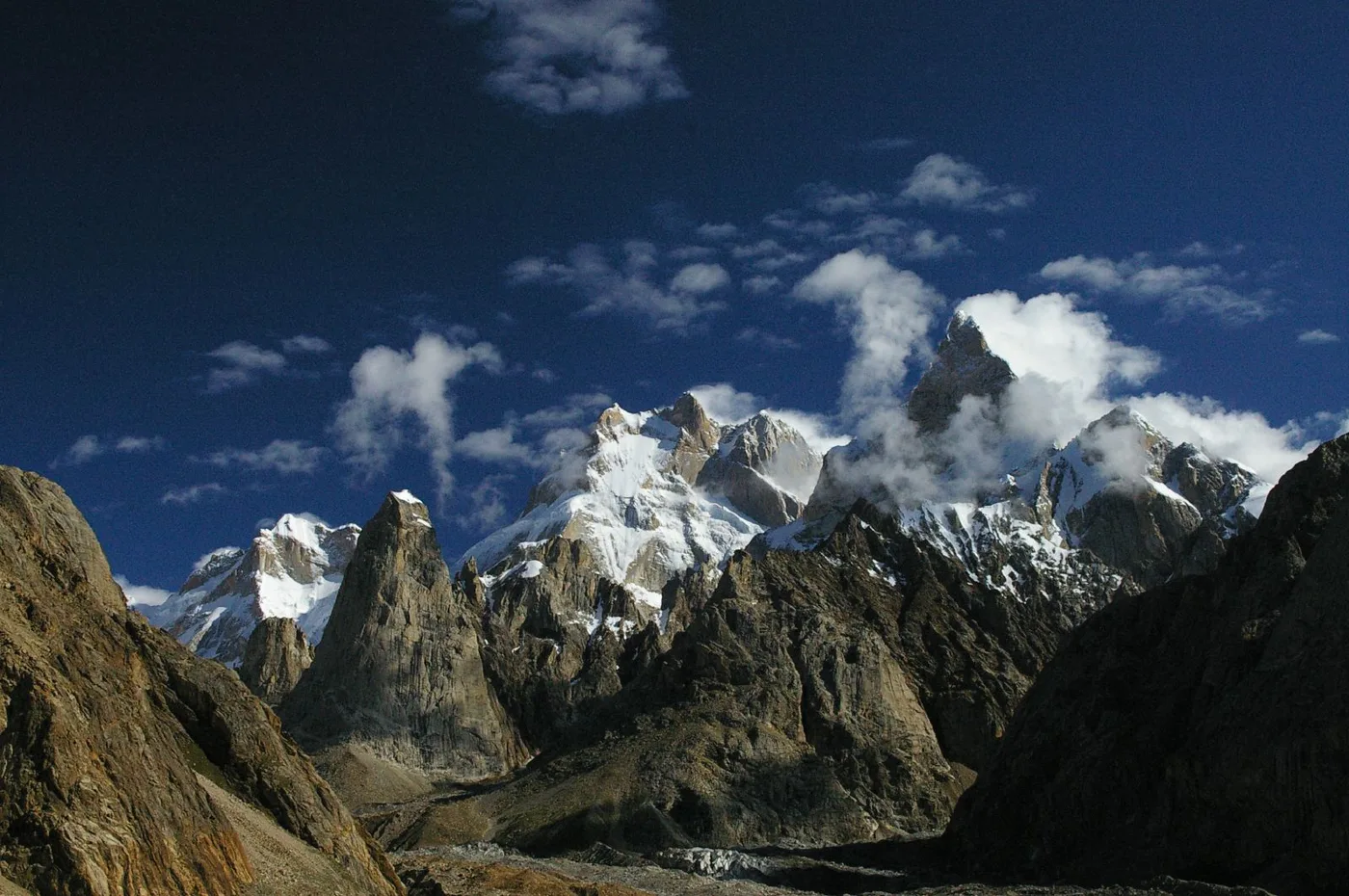

Baintha Brakk
Baintha Brakk, famously known as 'The Ogre', is a colossal 7,285-meter (23,901 ft) granite mountain in the Panmah Muztagh subrange of the Karakoram. Widely regarded as one of the most perilous and technically difficult mountains in the world, its sheer vertical granite towers rise steeply above the Biafo Glacier. Following its epic 1977 first ascent by British climbers Doug Scott and Chris Bonington—during which Scott broke both legs and crawled for over a week down the mountain—The Ogre repelled more than twenty international expeditions over twenty-four years before seeing a second ascent in 2001.
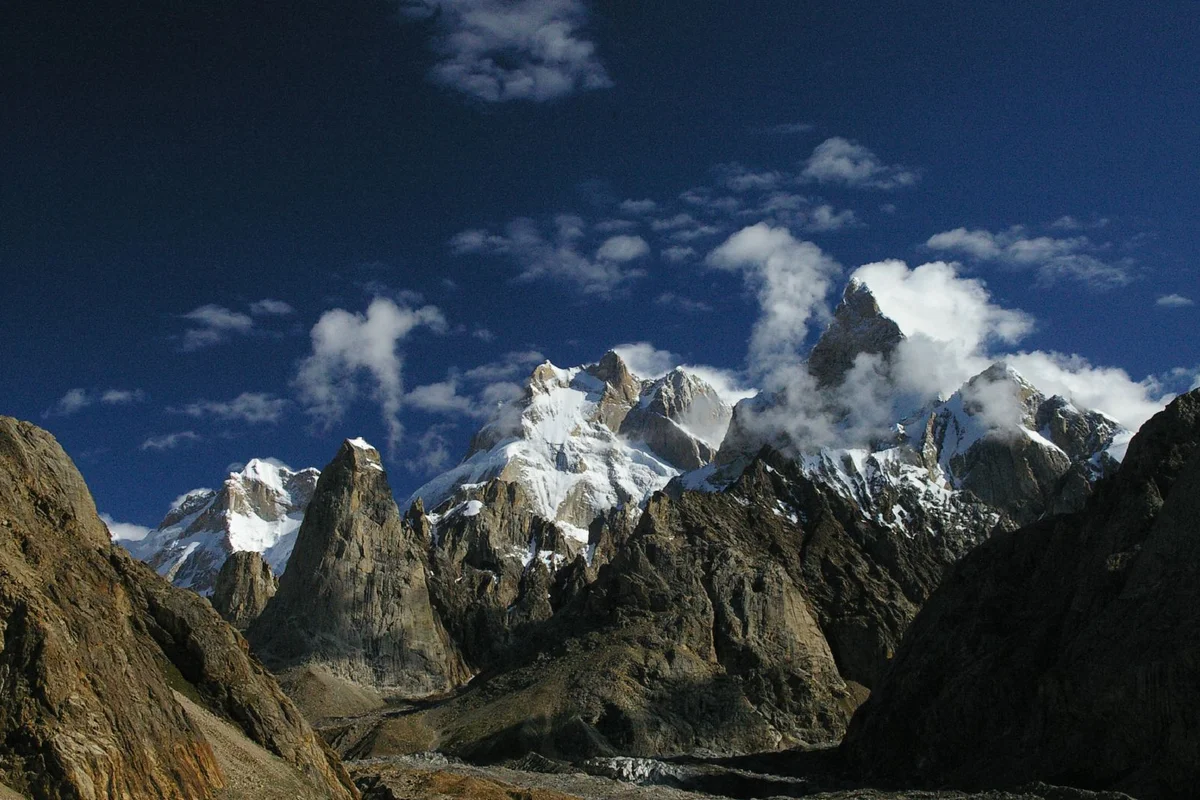
Latok I
Latok I is a formidable 7,145-metre granite spire situated in the Panmah Muztagh subrange of the Karakoram in Gilgit-Baltistan, Pakistan. Rising steeply above the Choktoi and Baintha Lukpar glaciers, Latok I is internationally celebrated for its sheer 2,500-metre North Ridge, widely regarded as one of the most demanding alpine challenges on Earth.
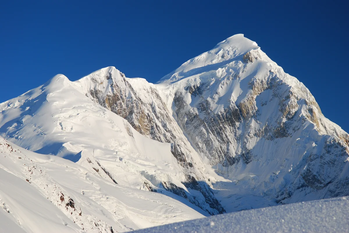
Spantik
Spantik, also known worldwide as Golden Peak or Ghenish Chhish, is a striking 7,027-meter (23,054 ft) peak in the Spantik-Sosbun subrange of the Karakoram in Gilgit-Baltistan, Pakistan. While its Southeast Ridge is a popular high-altitude objective, its colossal Northwest Face—the Golden Pillar—is a 2,000-meter vertical wall of tiered red marble and golden granite that ranks among the most coveted and difficult big-wall alpine routes on Earth. First ascended via the Southeast Ridge in 1955 by Karl Kramer's German expedition, Spantik achieved legendary status in modern technical alpinism in August 1987 when British climbers Mick Fowler and Victor Saunders made the historic first ascent of the Golden Pillar in pure alpine style.
Documented Sources & Archival Citations
- Ice thickness distribution of the Biafo-Hispar glacier system(Journal of Glaciology)
Supporting claim: Radio-echo sounding measurements of Snow Lake ice depths
Accessed/Documented: 2026