Fitz Roy Supercanaleta
The Supercanaleta on the Southwest Face of Cerro Fitz Roy (3,405 m) is one of the most legendary, direct, and imposing alpine ice lines in the world. Ascending an unbroken 1,600-metre vertical couloir of ice, snow, and mixed granite chimneys, it was first conquered in January 1965 in pure alpine style by Argentine mountaineering prodigies José Luis Fonrouge and Carlos Comesaña over two and a half days.
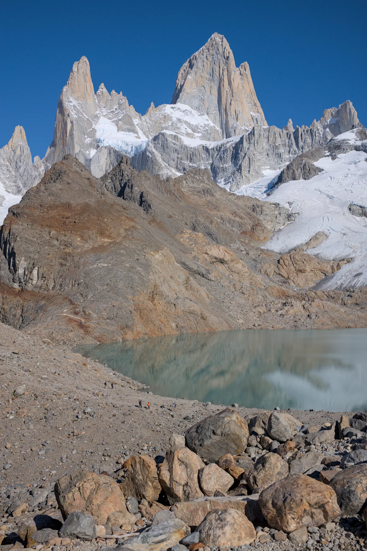
Ascent line, technical cruxes & camp topography profile for Fitz Roy Supercanaleta
Mountain Safety & Conditions Disclaimer: High-altitude climbing, glacial travel, and technical ascents entail severe objective risks including avalanches, serac collapses, rapid weather collapse, and altitude illness. Historical route descriptions and summit claims on Mountanity reflect documented archival sources and must not be used as live operational safety assessments. Local regulations, permits, and physical glacial topography change continuously.
Peer Review: Senior Editorial Board & Historical Reviewers • Editorial Standards
Tactical & Camp Notes
Starting from the Rio Blanco or Laguna de los Tres approach via Paso Cuadrado, climbers cross the glaciated bergschrund beneath the terrifying Southwest Face. The couloir ascends 1,000 metres of 60° to 85° ice flanked by colossal granite walls prone to rock and ice fall. Exiting the couloir at the Bloque Empotrado, climbers tackle sustained granite rock pitches (5+ / 6a) along the upper southwest ridge to reach the summit.
Interactive Elevation Profile
Vertical profile, technical cruxes, and camp staging progression for Fitz Roy Supercanaleta on Cerro Fitz Roy.
Traditional rocky staging camp below Paso Cuadrado.
Camp-by-Camp Topography
Key staging altitudes, technical cruxes, and terrain transitions for Fitz Roy Supercanaleta.
Piedra Negra Base Bivouac
Traditional rocky staging camp below Paso Cuadrado.
Bloque Empotrado (Choked Stone Bivouac)
A precarious perched boulder inside the couloir where Fonrouge and Comesaña carved a hanging ice shelf.
Cerro Fitz Roy Summit
Granite summit dome providing breathtaking panoramas of the Southern Icefield.
Topographic Location & Terrain Map
Cartographic datum, massif coordinates, and terrain context for Fitz Roy Supercanaleta on Cerro Fitz Roy.
Interactive Topographic Terrain Map
Click below to load live cartographic contours, glacier approaches, and geographic markers for Cerro Fitz Roy (49°16′16″ S, 72°53′57″ W).
Key Statistics & Topographic Figures
- Vertical Height
- 1,600 metres (5,250 ft continuous relief)
- Ice Angle
- 60° to 85° continuous ice for 1,000 metres
- Rock Difficulty
- UIAA V+ / 6a on upper ridge
- First Ascent Date
- January 16, 1965 (Fonrouge & Comesaña)
- Climbing Style
- Pure unsupported alpine style
Archival Primary Source Quotations
“The Supercanaleta is a frozen spear pointing straight to heaven; climbing it was the purest joy of our youth.”
Defined Alpine Terminology & Concepts
- Bloque Empotrado
- The 'Choked Stone', an iconic truck-sized boulder lodged in the vertical narrows of the Supercanaleta at 2,900 m.
- Couloir
- A steep, narrow gully or gorge on a mountainside flanked by rock walls, typically filled with snow and ice.
Frequently Asked Questions: Fitz Roy Supercanaleta
What is the Supercanaleta route on Cerro Fitz Roy?
The Supercanaleta is an unbroken 1,600-metre ice couloir and mixed ridge on the Southwest Face of Cerro Fitz Roy (3,405 m), first climbed in 1965.
Who made the first ascent of the Supercanaleta?
Young Argentine climbers José Luis Fonrouge (22) and Carlos Comesaña (19) between January 14–16, 1965.
What climbing style was used on the first ascent?
Pure lightweight alpine style, carrying only two days of dried food, no fixed ropes, and completing the descent without external support.
What is the climbing grade of the Supercanaleta?
Graded TD+ / ED- with 1,000 metres of 60°–85° ice followed by 600 metres of UIAA V+ (5.10a) rock climbing along the southwest ridge.
What is the Bloque Empotrado on the route?
A colossal boulder jammed inside the upper couloir at 2,900 metres that forms the traditional hanging bivouac site.
What objective dangers threaten climbers in the Supercanaleta?
Funneled rockfall from melting upper pillars, spindrift avalanches, and sudden gale-force Patagonian storms.
How long does a modern ascent of the Supercanaleta typically take?
Competent alpine teams complete the route in 20 to 36 hours continuous push from Piedra Negra base camp.
Where does the route top out?
Directly on the 3,405-metre granite summit plateau of Cerro Fitz Roy.
Mountain Ascended
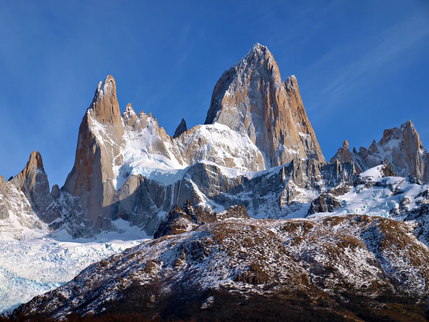


Cerro Fitz Roy
Cerro Fitz Roy, also known as Monte Fitz Roy or Cerro Chaltén at 3,405 meters (11,171 ft), is a world-renowned granite monolith situated in the Southern Patagonian Icefield near El Chaltén, Argentina. Revered for its vertical granite walls and notorious hurricane-force Patagonian storms, it is considered one of the most technically demanding alpine summits on Earth. French climbers Lionel Terray and Guido Magnone completed the legendary first ascent on February 2, 1952, establishing the historic Franco-Argentine Route.
Documented Expeditions on this Route (1)
Verified historical summits, siege campaigns, and pioneer attempts recorded on Fitz Roy Supercanaleta.
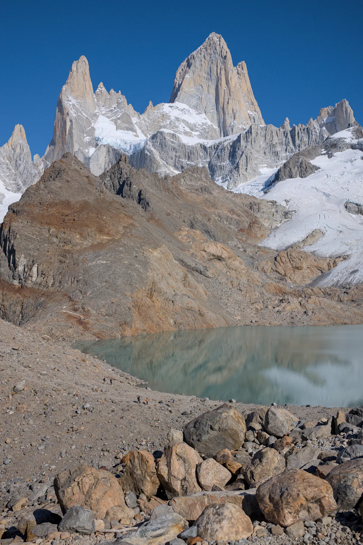
1965 Fonrouge and Comesaña Fitz Roy Supercanaleta First Ascent
On January 16, 1965, young Argentine mountaineers José Luis Fonrouge and Carlos Comesaña achieved the second ascent of Cerro Fitz Roy via the formidable 1,600-metre Supercanaleta, climbing in pure, unsupported alpine style.
Archival Chronicles & Stories on this Route (1)
In-depth longform historical narratives, harrowing survival accounts, and firsthand alpine journals on Fitz Roy Supercanaleta.
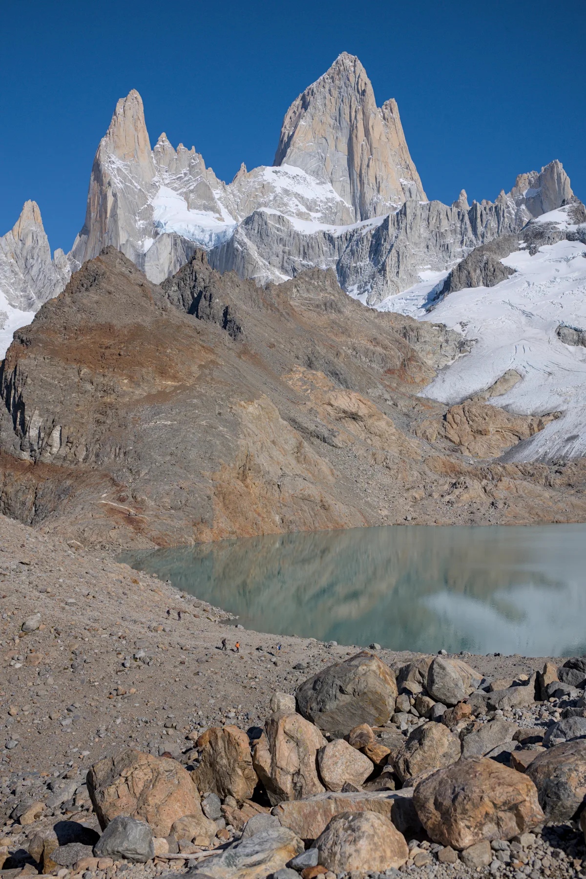
The Ice Spear: Fonrouge and Comesaña's 1965 Fitz Roy Supercanaleta Masterpiece
In January 1965, two young Argentine climbers, José Luis Fonrouge and Carlos Comesaña, completed the second ascent of Cerro Fitz Roy via the 1,600-metre Supercanaleta, climbing in pure, unsupported alpine style.
Documented Sources & Archival Citations
- American Alpine Journal: Supercanaleta of FitzRoy(José Luis Fonrouge / American Alpine Club)
Supporting claim: Firsthand account of the 1965 Argentine alpine-style first ascent
Accessed/Documented: 1966 - Patagonia Vertical: Chaltén Massif(Rolando Garibotti / Sidarta)
Supporting claim: Comprehensive modern guidebook topo and ascent notes for the Supercanaleta
Accessed/Documented: 2026