Huayna Potosí French Route (Southeast Face)
The French Route on Huayna Potosí is an exhilarating technical ice direct ascending the peak's southeast wall to 6,088 metres in the Cordillera Real. First climbed in the 1970s by French-Bolivian alpine pioneer Alain Mesili and companions, this direct variant surmounts a continuous 300-metre ice wall sloping between 55 and 70 degrees, bypassing the crowded normal route to deliver a thrilling and pure alpine experience.
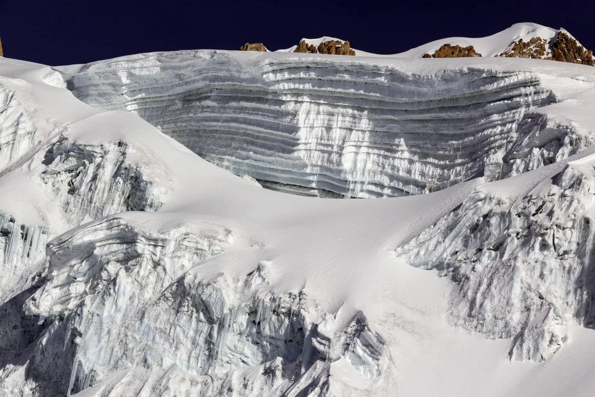
Ascent line, technical cruxes & camp topography profile for Huayna Potosí French Route (Southeast Face)
Mountain Safety & Conditions Disclaimer: High-altitude climbing, glacial travel, and technical ascents entail severe objective risks including avalanches, serac collapses, rapid weather collapse, and altitude illness. Historical route descriptions and summit claims on Mountanity reflect documented archival sources and must not be used as live operational safety assessments. Local regulations, permits, and physical glacial topography change continuously.
Peer Review: Senior Editorial Board & Historical Reviewers • Editorial Standards
Tactical & Camp Notes
Departing from Zongo Pass Base Camp at 4,700 metres, climbers ascend the standard trail to Campo Alto (Refugio Anselme Baud) at 5,130 metres. Striking out across the glacier plateau toward the southeast face, the French Route branches left from the normal line, heading directly toward the central ice wall. Climbers cross a gaping bergschrund before tackling 300 metres of sustained 55-to-70-degree bullet-hard glacial ice using front points and technical ice tools. Topping out onto the narrow summit ridge, the route joins the exposed final crest to gain the 6,088-metre north summit.
Interactive Elevation Profile
Vertical profile, technical cruxes, and camp staging progression for Huayna Potosí French Route (Southeast Face) on Huayna Potosí.
Roadside mountain hut and staging area situated at the crest of Zongo Pass.
Camp-by-Camp Topography
Key staging altitudes, technical cruxes, and terrain transitions for Huayna Potosí French Route (Southeast Face).
Paso Zongo Base Camp
Roadside mountain hut and staging area situated at the crest of Zongo Pass.
Campo Alto (Refugio Anselme Baud)
Glacier-edge alpine hut perched on rocky moraine slabs directly below the icefield.
Huayna Potosí North Summit
Razor-sharp corniced apex commanding breathtaking panoramas of Lake Titicaca and La Paz.
Topographic Location & Terrain Map
Cartographic datum, massif coordinates, and terrain context for Huayna Potosí French Route (Southeast Face) on Huayna Potosí.
Interactive Topographic Terrain Map
Click below to load live cartographic contours, glacier approaches, and geographic markers for Huayna Potosí (16°15′45″ S, 68°09′12″ W).
Key Statistics & Topographic Figures
- Ice Wall Height
- 300 metres of sustained headwall
- Maximum Angle
- 70° bullet-hard water ice
- Summit Altitude
- 6,088 m (19,974 ft)
Archival Primary Source Quotations
“The French Route is a line of elegance and commitment on the great ice wall of Huayna Potosí.”
Defined Alpine Terminology & Concepts
- Front-Point Ice Climbing
- Ascending vertical ice using only the forward two spikes of modern rigid crampons driven directly into the frozen surface.
Frequently Asked Questions: Huayna Potosí French Route (Southeast Face)
What is the French Route on Huayna Potosí?
It is a direct technical ice route ascending the southeast wall to 6,088 metres, pioneered in the 1970s by Alain Mesili.
What is the technical grade of the French Route?
The route is graded D/D+ featuring 300 metres of sustained 55-to-70-degree glacial ice.
Mountain Ascended
Huayna Potosí
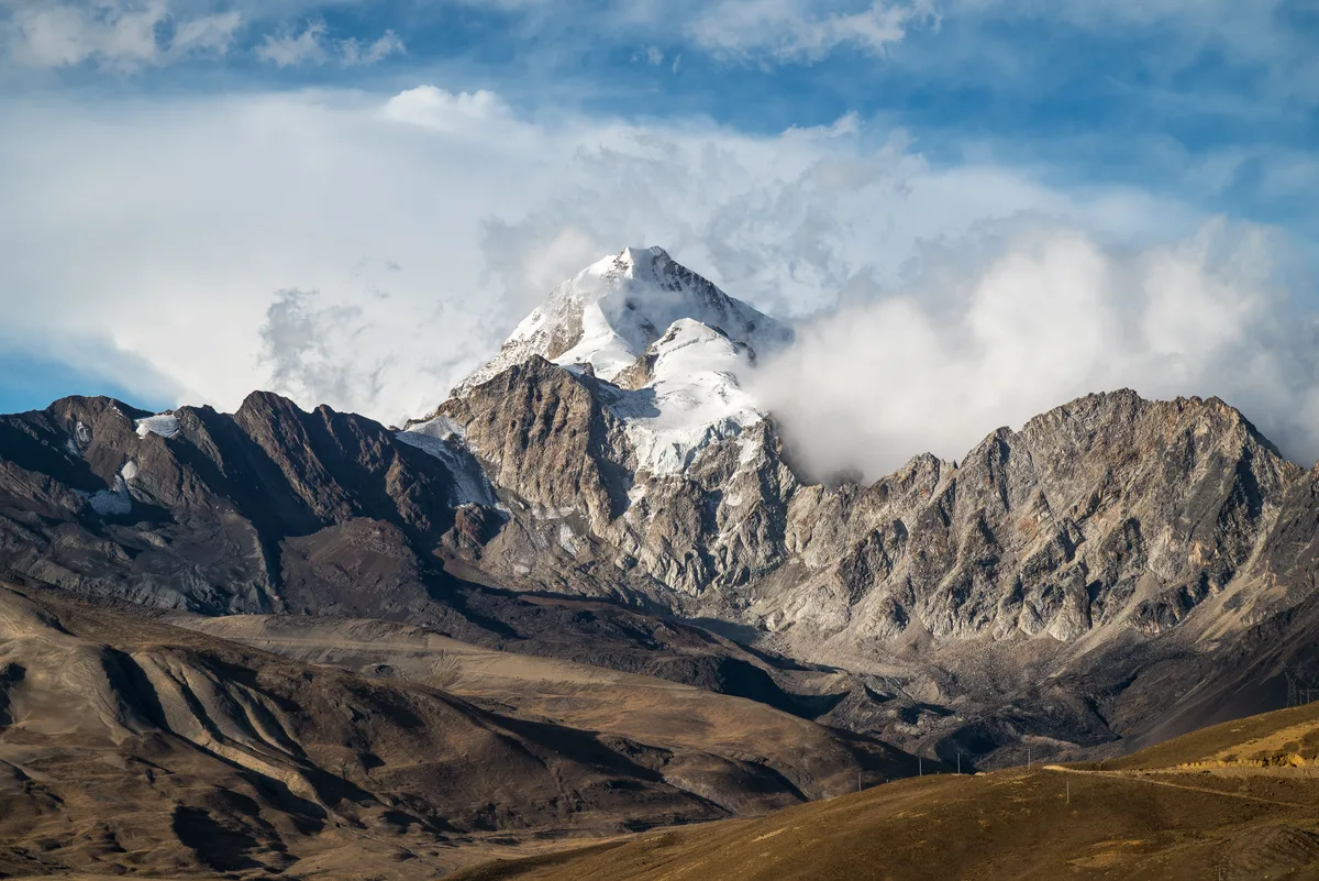
Huayna Potosí is a stunning 6,088-metre glaciated pyramid in the Cordillera Real of Bolivia, widely regarded as one of the most aesthetic peaks in South America. First climbed in 1919 by German mountaineers Rudolf Dienst and Adolf Schulze, the peak features classic glacier ramps, steep summit bergschrunds, and formidable 1,000-metre technical ice walls on its west face. It stands directly north of La Paz near the Zongo Pass.
Documented Expeditions on this Route (1)
Verified historical summits, siege campaigns, and pioneer attempts recorded on Huayna Potosí French Route (Southeast Face).
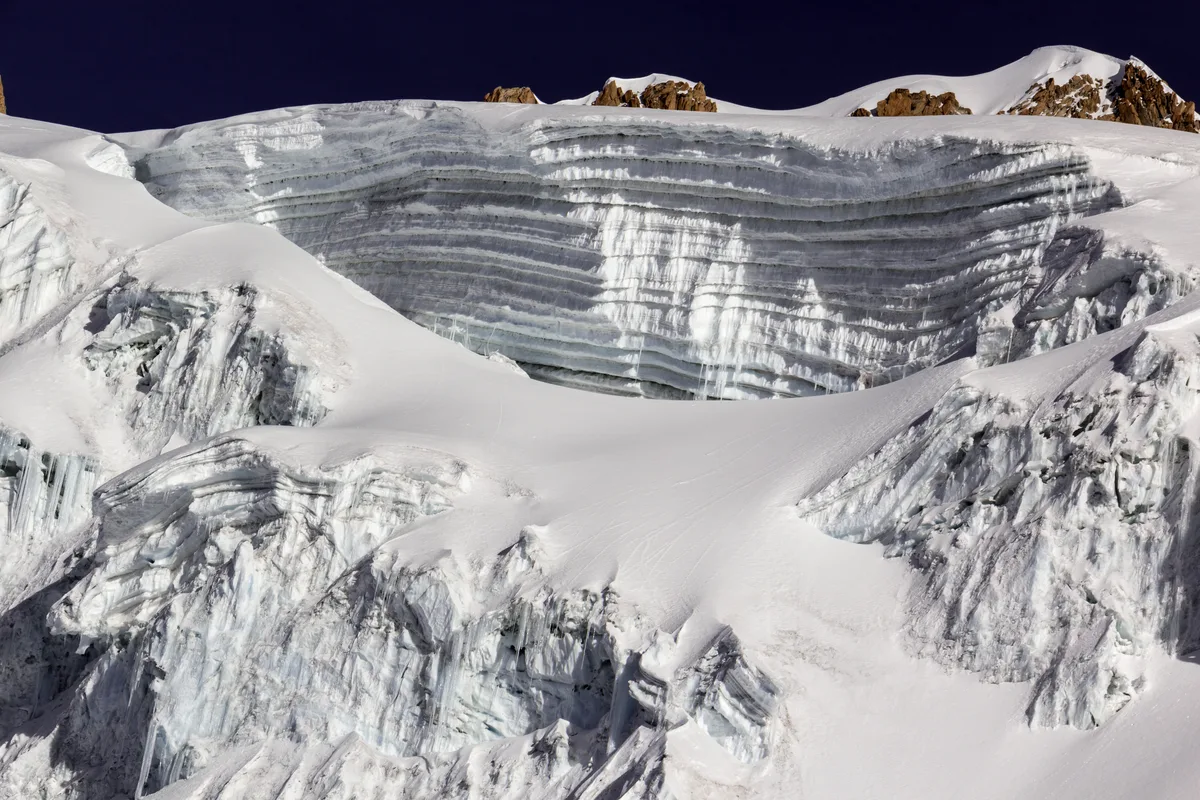
1970 Mesili Huayna Potosí West Face Historic Direct Ascent
In July 1970, French-Bolivian alpine pioneer Alain Mesili and climbing companions unlocked the colossal 1,000-metre West Face of Huayna Potosí (6,088 m). Scaling 70-degree black ice corridors, rotten quartzite bands, and hanging seracs in lightweight style, their breakthrough inaugurated modern extreme technical alpinism in the Cordillera Real.
Archival Chronicles & Stories on this Route (2)
In-depth longform historical narratives, harrowing survival accounts, and firsthand alpine journals on Huayna Potosí French Route (Southeast Face).
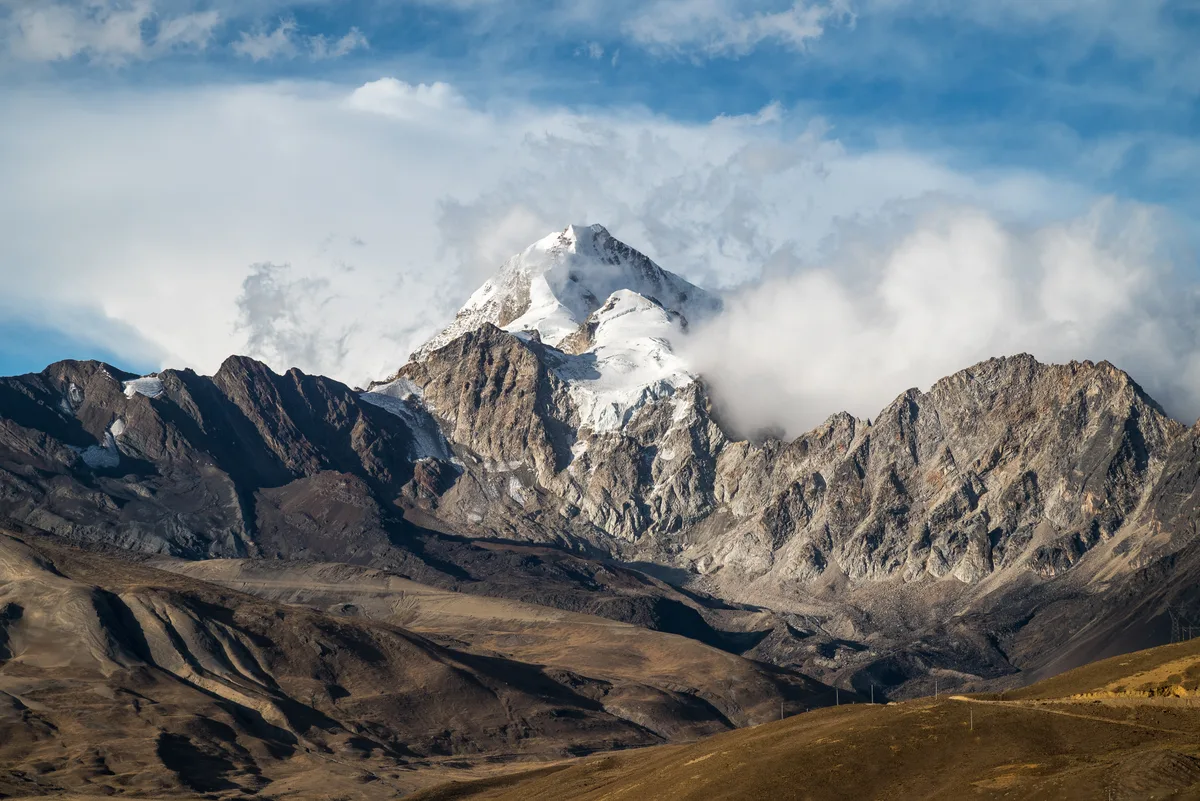
The Ice Pyramid of Zongo: The 1919 First Ascent of Huayna Potosí
On May 18, 1919, German alpinists Rudolf Dienst and Adolf Schulze conquered the glaciated pyramid of Huayna Potosí (6,088 m), establishing a classic of the Cordillera Real.
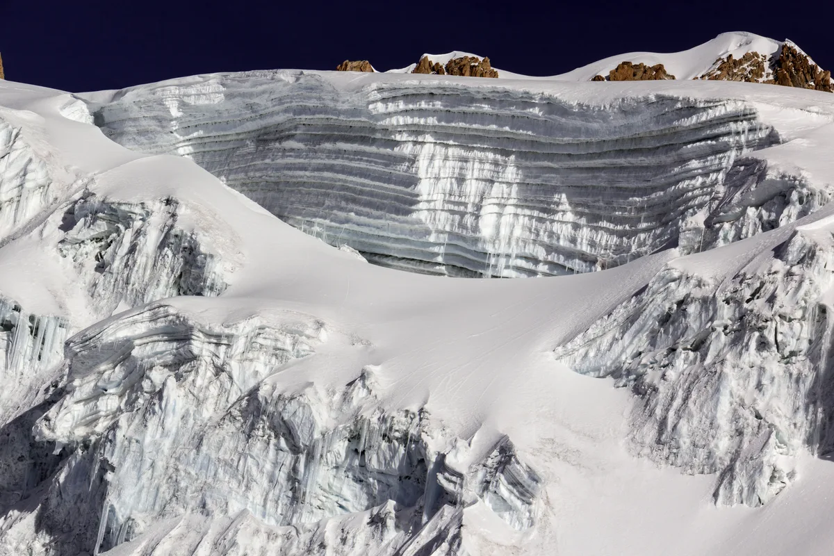
Black Ice on the West Face: Alain Mesili on Huayna Potosí
In July 1970, French-Bolivian alpine titan Alain Mesili conquered the 1,000-metre West Face of Huayna Potosí (6,088 m), launching extreme technical climbing in Bolivia.
Documented Sources & Archival Citations
- The Bolivian Andes: Cordillera Real Climbing Guide(Alain Mesili / Los Amigos del Libro)
Supporting claim: Firsthand technical documentation and pitch description of the French Route on Huayna Potosí
Accessed/Documented: 1980 - Classic Climbs of the Cordillera Real(Yossi Brain / Andes Publishing)
Supporting claim: Modern technical appraisal and safety recommendations for the Southeast Face
Accessed/Documented: 1997