Mount Hotaka Shiradezawa & Gendarme Ridge Route
The Shiradezawa and Gendarme Ridge Route on Mount Hotaka represents one of Japan's most revered alpine mountaineering challenges. Starting from the forested haven of Kamikochi, climbers ascend through the Karasawa Cirque—famous for its dramatic amphitheater of precipitous cliffs—before tackling the sheer, chained headwalls leading to Hotakadake Sanso hut on the col.
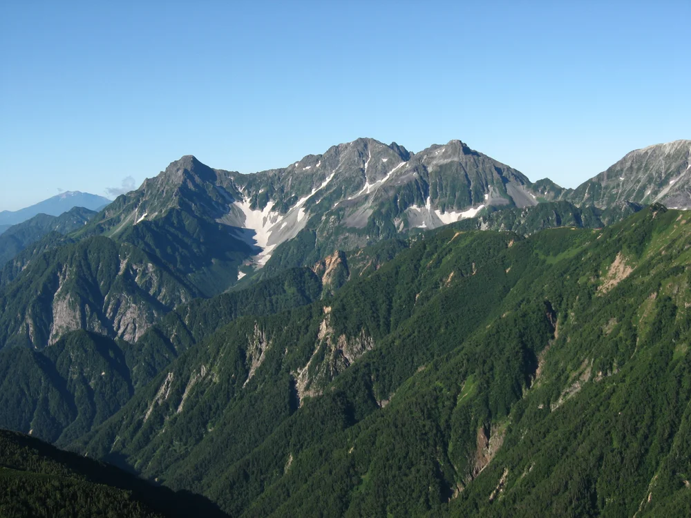
Ascent line, technical cruxes & camp topography profile for Mount Hotaka Shiradezawa & Gendarme Ridge Route
Mountain Safety & Conditions Disclaimer: High-altitude climbing, glacial travel, and technical ascents entail severe objective risks including avalanches, serac collapses, rapid weather collapse, and altitude illness. Historical route descriptions and summit claims on Mountanity reflect documented archival sources and must not be used as live operational safety assessments. Local regulations, permits, and physical glacial topography change continuously.
Peer Review: Senior Editorial Board & Historical Reviewers • Editorial Standards
Tactical & Camp Notes
The traverse between Okuhotakadake and the Gendarme involves extreme vertical exposure; a climbing helmet and proven scrambling ability are mandatory.
Identified Objective Hazards
- •Severe vertical fall risk along exposed arête sections and around the Gendarme
- •Loose rockfall triggered by preceding climbing parties
- •Sudden dense fog creating disorientation along narrow knife-edge ridges
- •Freezing gale-force winds buffeting the unprotected ridgelines
Interactive Elevation Profile
Vertical profile, technical cruxes, and camp staging progression for Mount Hotaka Shiradezawa & Gendarme Ridge Route on Mount Hotaka / Okuhotakadake.
Historic alpine gateway surrounded by Japanese larch forests along the crystal-clear Azusa River.
Camp-by-Camp Topography
Key staging altitudes, technical cruxes, and terrain transitions for Mount Hotaka Shiradezawa & Gendarme Ridge Route.
Kamikochi Valley Base
Historic alpine gateway surrounded by Japanese larch forests along the crystal-clear Azusa River.
Karasawa Cirque Hut & Tent Camp
World-famous glacial cirque campsite framed by the towering ramparts of the Hotaka range.
Hotakadake Sanso Refuge
Historic mountain refuge located on the Shirade-col between Okuhotakadake and Karasawadake.
Okuhotakadake Summit
Third-highest point in Japan, marked by a stone shrine and panoramic views across the Northern Alps.
Topographic Location & Terrain Map
Cartographic datum, massif coordinates, and terrain context for Mount Hotaka Shiradezawa & Gendarme Ridge Route on Mount Hotaka / Okuhotakadake.
Interactive Topographic Terrain Map
Click below to load live cartographic contours, glacier approaches, and geographic markers for Mount Hotaka / Okuhotakadake (36°17′21″ N, 137°38′53″ E).
Key Statistics & Topographic Figures
- Route Type
- Technical Alpine Scramble & Knife-Edge Arête Traverse
Topography
- Technical Difficulty
- Extremely Strenuous / Alpine Grade III Scramble
Grade III alpine rock scramble, exposed knife-edge arêtes, vertical chain ladders
- Country / Region
- Japan (Hida Mountains, Nagano / Gifu Prefecture)
Location
Archival Primary Source Quotations
“A mountain route is not merely a path of rock and ice; it is a test of human endurance, judgment, and humility.”
Defined Alpine Terminology & Concepts
- Crux
- The most difficult and technically demanding pitch or section of a climbing route.
- Normal Route (Voie Normale)
- The most frequently climbed, least technical, and historically standard path to a mountain summit.
Frequently Asked Questions: Mount Hotaka Shiradezawa & Gendarme Ridge Route
What is the climbing difficulty and grade of Mount Hotaka Shiradezawa & Gendarme Ridge Route?
Mount Hotaka Shiradezawa & Gendarme Ridge Route on mount-hotaka is graded as Extremely Strenuous / Alpine Grade III Scramble, with technical climbing requirements including Grade III alpine rock scramble, exposed knife-edge arêtes, vertical chain ladders.
What are the primary hazards on the Mount Hotaka Shiradezawa & Gendarme Ridge Route?
Climbers on Mount Hotaka Shiradezawa & Gendarme Ridge Route must navigate severe objective hazards including Severe vertical fall risk along exposed arête sections and around the Gendarme, Loose rockfall triggered by preceding climbing parties, Sudden dense fog creating disorientation along narrow knife-edge ridges, Freezing gale-force winds buffeting the unprotected ridgelines.
What camps are established on Mount Hotaka Shiradezawa & Gendarme Ridge Route?
Mount Hotaka Shiradezawa & Gendarme Ridge Route typically features 4 staging camps, progressing from Kamikochi Valley Base (1500m) up toward the summit.
Mountain Ascended
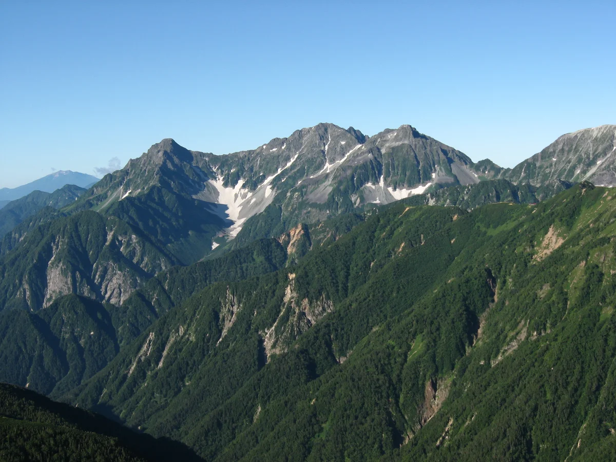

Mount Hotaka / Okuhotakadake
Mount Hotaka (Okuhotakadake) is the third-highest mountain in Japan at 3,190 metres (10,466 ft) and the supreme summit of the Hida Mountains in Chūbu-Sangaku National Park. Rising majestically above the idyllic alpine meadows of Kamikochi, the Hotaka Massif is famed for its rugged knife-edge arêtes, towering precipices, and the legendary Gendarme rock tower. Explored and introduced to the international alpine community by Reverend Walter Weston in the 1890s, Mount Hotaka is considered the spiritual cradle of Japanese technical rock climbing and alpine mountaineering.
Documented Expeditions on this Route (1)
Verified historical summits, siege campaigns, and pioneer attempts recorded on Mount Hotaka Shiradezawa & Gendarme Ridge Route.
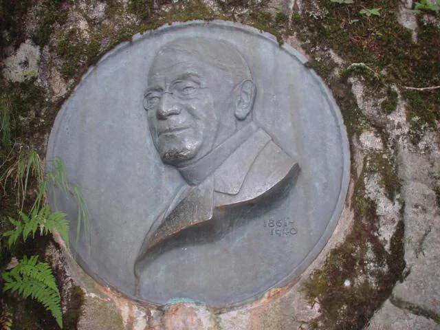
1894 Reverend Walter Weston Mount Hotaka & Hida Alps Exploration
In August 1894, English clergyman Reverend Walter Weston mounted an exploratory alpine expedition into the heart of the Hida Mountains (Northern Japanese Alps), ascending through the virgin primeval forests of Kamikochi to achieve the first modern sporting ascent of Mount Hotaka (3,190 m) with legendary hunter Kamijō Kamonji.
Archival Chronicles & Stories on this Route (1)
In-depth longform historical narratives, harrowing survival accounts, and firsthand alpine journals on Mount Hotaka Shiradezawa & Gendarme Ridge Route.
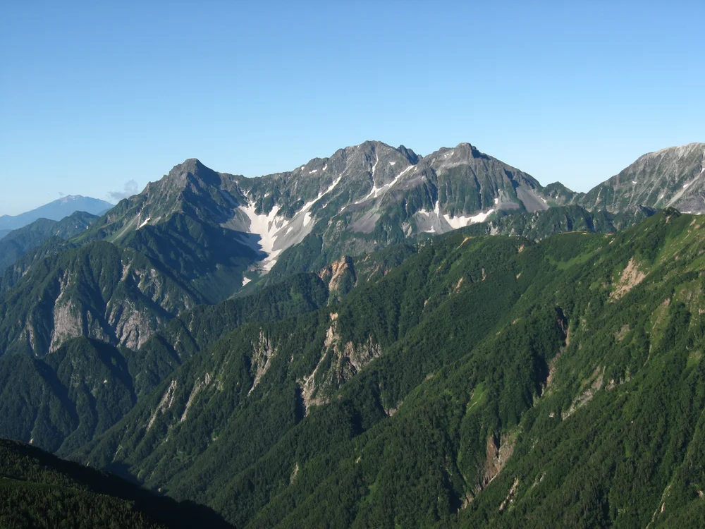
Awakening the Japanese Alps: Walter Weston's 1894 Hotaka Expedition
Reverend Walter Weston enters the untracked wilderness of Kamikochi and climbs Mount Hotaka (3,190 m), introducing modern sport alpinism to Japan.
Documented Sources & Archival Citations
- Chūbu-Sangaku National Park Mountaineering Record(Japanese Alpine Club)
Supporting claim: Technical grading and safety standards for the Hotaka-Gendarme traverse
Accessed/Documented: 2026