Mount Hotaka / Okuhotakadake
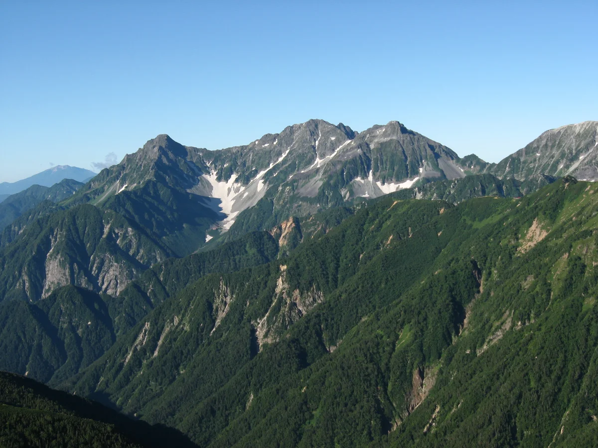
Mount Hotaka (Okuhotakadake) is the third-highest mountain in Japan at 3,190 metres (10,466 ft) and the supreme summit of the Hida Mountains in Chūbu-Sangaku National Park. Rising majestically above the idyllic alpine meadows of Kamikochi, the Hotaka Massif is famed for its rugged knife-edge arêtes, towering precipices, and the legendary Gendarme rock tower.
 Japan
Mountain Safety & Conditions Disclaimer: High-altitude climbing, glacial travel, and technical ascents entail severe objective risks including avalanches, serac collapses, rapid weather collapse, and altitude illness. Historical route descriptions and summit claims on Mountanity reflect documented archival sources and must not be used as live operational safety assessments. Local regulations, permits, and physical glacial topography change continuously.
Peer Review: Senior Editorial Board & Historical Reviewers • Editorial Standards
Geographical Setting & Topography
Chūbu-Sangaku National Park, Nagano-Gifu Prefecture border, Honshu, Japan.
Historic First Ascent
Date: 1880
Ascent Team: Toyasaburo Nomura and local guides (first sporting ascent: Walter Weston, 1894)
Key Statistics & Topographic Figures
- Official Elevation
- 3,190 metres (10,466 ft)
- National Rank
- Third-Highest Mountain in Japan
- Prominence
- 791 metres
- Mountain Range
- Hida Mountains (Northern Japanese Alps)
- National Park
- Chūbu-Sangaku National Park
Archival Primary Source Quotations
“From the depths of Kamikochi, the peaks of Hotaka rise like an impregnable fortress of granite against the clouds.”
Defined Alpine Terminology & Concepts
- Gendarme
- A sheer rock tower standing along an alpine ridge that forces climbers to navigate exposed knife-edge arêtes.
- Karasawa Basin
- A world-renowned glacial cirque on Mount Hotaka famous for its autumn crimson foliage and base camp huts.
Mount Hotaka / Okuhotakadake Mountain Weather Forecast
Detailed 14-Day Summit Window & Weather Timeline
Explore day-by-day summit push safety windows, wind shear analysis, and extended multi-day forecasts for Mount Hotaka / Okuhotakadake.
Explore Mount Hotaka / Okuhotakadake (3,190 m) in Interactive 3D
Inspect steep glacial walls, hanging seracs, ridge approaches, and elevation relief with 360° rotation and terrain tilt in WebGL.
Documented Climbing Routes (1)
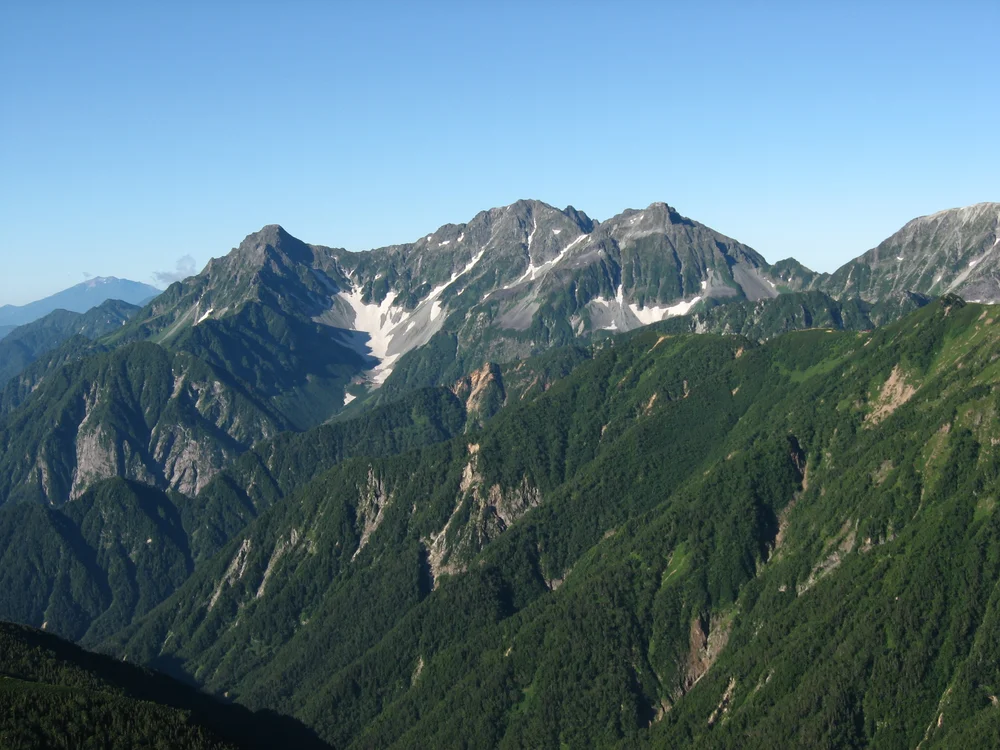
Mount Hotaka Shiradezawa & Gendarme Ridge Route
The Shiradezawa and Gendarme Ridge Route on Mount Hotaka represents one of Japan's most revered alpine mountaineering challenges. Starting from the forested haven of Kamikochi, climbers ascend through the Karasawa Cirque—famous for its dramatic amphitheater of precipitous cliffs—before tackling the sheer, chained headwalls leading to Hotakadake Sanso hut on the col. From the summit of Okuhotakadake (3,190 m), the route continues along an exposed, knife-edge rock traverse confronting the formidable Gendarme, a sheer 3,163-metre sentinel tower requiring steady nerves and expert rock scrambling.
Historical Expeditions (1)
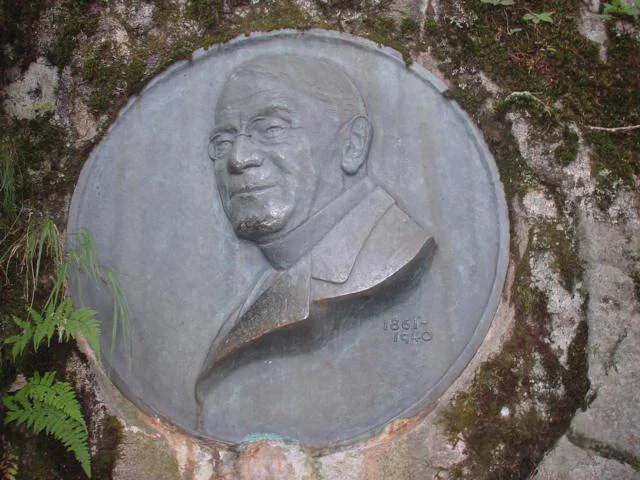
1894 Reverend Walter Weston Mount Hotaka & Hida Alps Exploration
In August 1894, English clergyman Reverend Walter Weston mounted an exploratory alpine expedition into the heart of the Hida Mountains (Northern Japanese Alps), ascending through the virgin primeval forests of Kamikochi to achieve the first modern sporting ascent of Mount Hotaka (3,190 m) with legendary hunter Kamijō Kamonji.
Summit Chronicles & Stories (1)
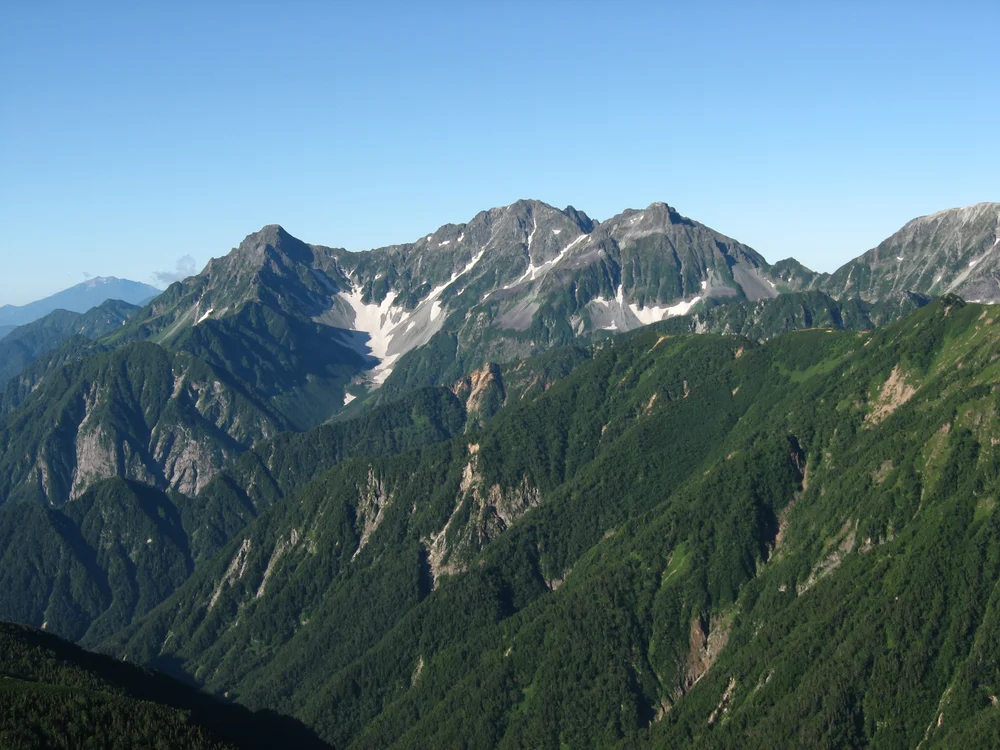
Awakening the Japanese Alps: Walter Weston's 1894 Hotaka Expedition
Reverend Walter Weston enters the untracked wilderness of Kamikochi and climbs Mount Hotaka (3,190 m), introducing modern sport alpinism to Japan.
Frequently Asked Questions: Mount Hotaka / Okuhotakadake
What is Mount Hotaka and where is it located?
Mount Hotaka (Okuhotakadake) is Japan's third-highest peak at 3,190 metres (10,466 ft), located in the Hida Mountains on the Nagano-Gifu border.
What is the Gendarme on Mount Hotaka?
A notorious 3,163-metre sentinel rock pinnacle perched on the knife-edge arête between Okuhotakadake and Maehotakadake, requiring extreme scrambling.
Which valley is the gateway to Mount Hotaka?
Kamikochi, a scenic alpine plateau along the Azusa River renowned for its pristine larch forests, alpine ponds, and historic climbing lodges.
Documented Sources & Archival Citations
- The Playground of the Far East(John Murray, London)
Supporting claim: Ascent records of Okuhotakadake and the Hotaka range
Accessed/Documented: 1918