Disappointment Cleaver Route (Mount Rainier)
The Disappointment Cleaver route is the standard and most celebrated climbing route on Mount Rainier, ascending the glaciated south flank of the stratovolcano via the Muir Snowfield, the Cowlitz and Ingraham glaciers, and the rocky buttress of the Cleaver.
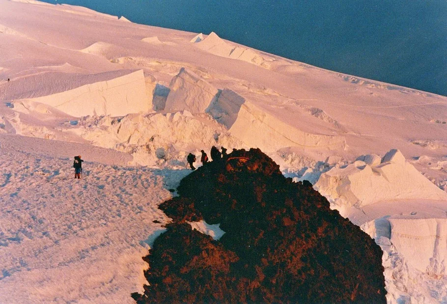
Ascent line, technical cruxes & camp topography profile for Disappointment Cleaver Route (Mount Rainier)
Mountain Safety & Conditions Disclaimer: High-altitude climbing, glacial travel, and technical ascents entail severe objective risks including avalanches, serac collapses, rapid weather collapse, and altitude illness. Historical route descriptions and summit claims on Mountanity reflect documented archival sources and must not be used as live operational safety assessments. Local regulations, permits, and physical glacial topography change continuously.
Peer Review: Senior Editorial Board & Historical Reviewers • Editorial Standards
Tactical & Camp Notes
Pioneered in the late nineteenth century as a safer alternative to the dangerous rockfall of Gibraltar Rock, the Disappointment Cleaver route begins at Paradise, climbs through Camp Muir, crosses Cathedral Gap, navigates the crevassed Ingraham Glacier, ascends the loose volcanic rock and snow of the Cleaver, and breaches the upper bergschrund onto the crater rim of Columbia Crest.
Interactive Elevation Profile
Vertical profile, technical cruxes, and camp staging progression for Disappointment Cleaver Route (Mount Rainier) on Mount Rainier.
Historic national park staging center featuring the Paradise Inn and guide headquarters.
Camp-by-Camp Topography
Key staging altitudes, technical cruxes, and terrain transitions for Disappointment Cleaver Route (Mount Rainier).
Paradise Trailhead
Historic national park staging center featuring the Paradise Inn and guide headquarters.
Camp Muir
High alpine stone shelter perched on the ridge between the Muir Snowfield and Cowlitz Glacier.
Ingraham Flats High Camp
Glacial terrace camp on the Ingraham Glacier used for alpine summit pushes.
Columbia Crest Summit Crater
Highest point of Mount Rainier, featuring a massive ice-filled caldera and steaming fumaroles.
Topographic Location & Terrain Map
Cartographic datum, massif coordinates, and terrain context for Disappointment Cleaver Route (Mount Rainier) on Mount Rainier.
Interactive Topographic Terrain Map
Click below to load live cartographic contours, glacier approaches, and geographic markers for Mount Rainier (46°51′10″ N, 121°45′37″ W).
Key Statistics & Topographic Figures
- Technical Grade
- French PD / Grade II Alpine Glacier
- Elevation Gain
- 2,750 metres (9,000 feet)
- High Camp Elevation
- Camp Muir (3,072 m) / Ingraham Flats (3,380 m)
- Average Summit Day
- 7 to 10 hours round-trip from Camp Muir
- Standard Route Season
- Late May to late August
Archival Primary Source Quotations
“On Disappointment Cleaver, step by step through the midnight chill, you watch the headlights of Seattle flicker below while the volcano breathes beneath your crampons.”
Defined Alpine Terminology & Concepts
- Cleaver
- A sharp, rocky ridge or buttress that divides two adjacent alpine glaciers flowing down a mountain face.
- Snow Bridge
- An arch of accumulated, wind-compacted snow that spans across a glacial crevasse, requiring careful probing before crossing.
Frequently Asked Questions: Disappointment Cleaver Route (Mount Rainier)
What is the Disappointment Cleaver route on Mount Rainier?
It is the standard and most frequently climbed mountaineering route on Mount Rainier, ascending from Paradise via Camp Muir, Ingraham Flats, and the Cleaver.
Why is the rock feature called Disappointment Cleaver?
It was named by early climbing parties who mistakenly believed the rocky buttress would lead directly to the summit, only to discover it was severed from the crown by a maze of impassable crevasses.
What is the total elevation gain on the Disappointment Cleaver route?
The climb gains 2,750 metres (approximately 9,000 feet) from the Paradise Trailhead (1,645 m) to the Columbia Crest summit (4,392 m).
Where is Camp Muir located on the Disappointment Cleaver route?
Camp Muir is situated at 3,072 metres (10,080 feet) on a rock rib between the Muir Snowfield and the Cowlitz Glacier, serving as the primary high base camp.
How long does it typically take to climb the Disappointment Cleaver route?
Most climbers take two to three days, sleeping at Camp Muir or Ingraham Flats and beginning their summit push between midnight and two in the morning.
What technical mountaineering skills are required for Disappointment Cleaver?
Roped glacier travel, ice axe arrest, crampon footwork, crevasse rescue proficiency, route-finding on active glaciers, and high-altitude endurance.
What are the main objective hazards on Disappointment Cleaver?
Rockfall on the Cleaver itself, ice avalanches from Ingraham Glacier seracs, hidden snow bridges over crevasses, and violent Pacific gale storms.
What is the best climbing season for Disappointment Cleaver?
Late May through August offers the best conditions, after which late-summer crevasse opening makes upper glacier crossings increasingly complex.
Mountain Ascended
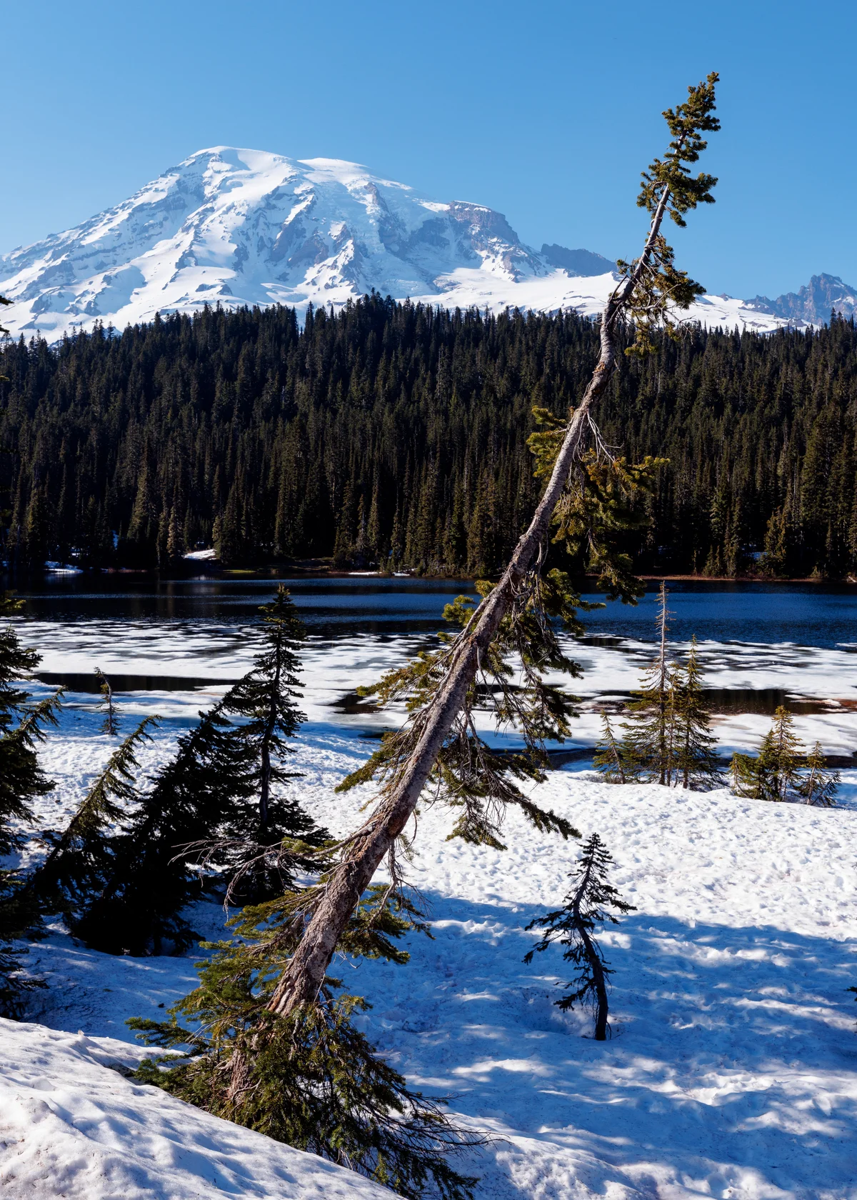

Mount Rainier
Mount Rainier is an episodic active stratovolcano in the Cascade Range of Washington, rising to an elevation of 4,392 metres as the highest peak in Washington and the Cascade Volcanic Arc. Enveloped by twenty-five major named glaciers spanning over thirty-five square miles of perpetual snow and ice, it is the most heavily glaciated peak in the contiguous United States, serving as the proving ground for American high-altitude mountaineering.
Documented Expeditions on this Route (2)
Verified historical summits, siege campaigns, and pioneer attempts recorded on Disappointment Cleaver Route (Mount Rainier).
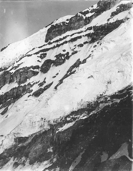
1870 Historic First Ascent of Mount Rainier by Stevens and Van Trump
On August 17, 1870, Hazard Stevens and Philemon Beecher Van Trump made the first documented ascent of Mount Rainier, climbing past Gibraltar Rock and surviving an overnight gale in summit steam vents.
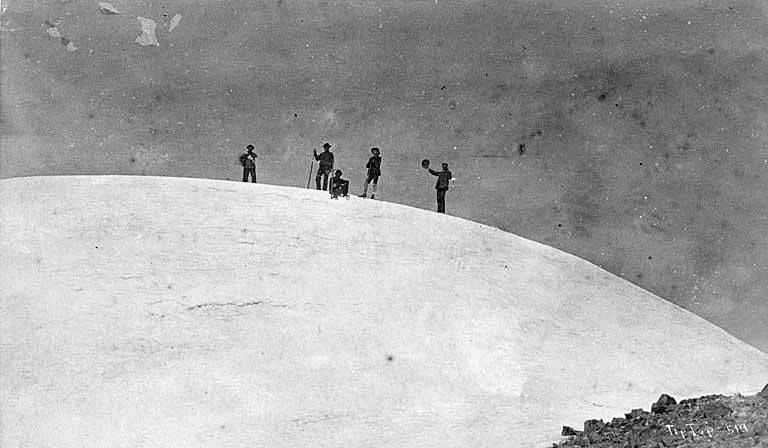
1890 Historic First Female Ascent of Mount Rainier by Fay Fuller
On August 10, 1890, twenty-year-old journalist Fay Fuller achieved the historic first female ascent of Mount Rainier, scaling Gibraltar Rock and bivouacking in the summit crater.
Archival Chronicles & Stories on this Route (2)
In-depth longform historical narratives, harrowing survival accounts, and firsthand alpine journals on Disappointment Cleaver Route (Mount Rainier).
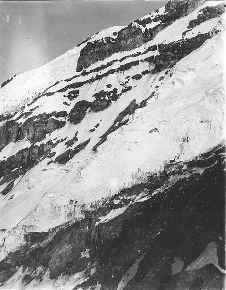
Caverns in the Clouds: The 1870 First Ascent of Mount Rainier
On August 17, 1870, Hazard Stevens and Philemon Beecher Van Trump achieved the first documented ascent of Mount Rainier. Scaling the crumbling volcanic precipice of Gibraltar Rock, they reached the summit crater at dusk and survived a freezing night inside boiling geothermal steam vents.
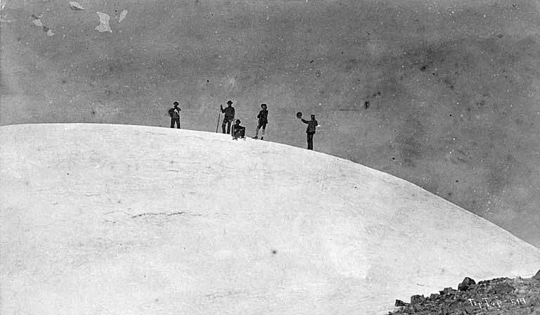
Bloomers on the Volcano: Fay Fuller's 1890 Mount Rainier Triumph
On August 10, 1890, twenty-year-old schoolteacher and journalist Fay Fuller achieved the historic first female ascent of Mount Rainier. Climbing past Gibraltar Rock in a heavy woolen dress and calked boots, she conquered the 4,392-metre volcano and bivouacked inside its steaming crater caves.
Documented Sources & Archival Citations
- The Challenge of Rainier(Dee Molenaar / The Mountaineers Books)
Supporting claim: Detailed historical analysis and topographic descriptions of the Disappointment Cleaver ascent
Accessed/Documented: 2026 - Mount Rainier: A Climbing Guide(Mike Gauthier / The Mountaineers Books)
Supporting claim: Modern technical route breakdown, crevasse hazards, and timing standards
Accessed/Documented: 2026