Mount Rainier
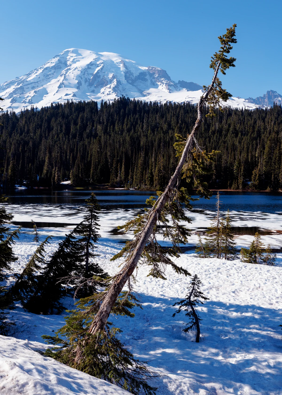
Mount Rainier is an episodic active stratovolcano in the Cascade Range of Washington, rising to an elevation of 4,392 metres as the highest peak in Washington and the Cascade Volcanic Arc. Enveloped by twenty-five major named glaciers spanning over thirty-five square miles of perpetual snow and ice, it is the most heavily glaciated peak in the contiguous United States, serving as the proving ground for American high-altitude mountaineering.
 United States
Mountain Safety & Conditions Disclaimer: High-altitude climbing, glacial travel, and technical ascents entail severe objective risks including avalanches, serac collapses, rapid weather collapse, and altitude illness. Historical route descriptions and summit claims on Mountanity reflect documented archival sources and must not be used as live operational safety assessments. Local regulations, permits, and physical glacial topography change continuously.
Peer Review: Senior Editorial Board & Historical Reviewers • Editorial Standards
Geographical Setting & Topography
Looming dramatically over the Puget Sound lowland fifty-nine miles south-southeast of Seattle, Mount Rainier is an iconic topographic landmark with 4,027 metres of topographic prominence. The mountain features two volcanic craters, steaming geothermal vents that provided life-saving warmth during early historic bivouacs, and massive glacial systems including the Emmons, Nisqually, Carbon, and Ingraham glaciers.
Historic First Ascent
Date: 1870-08-17
Ascent Team: Hazard Stevens, Philemon Beecher Van Trump
Key Statistics & Topographic Figures
- Summit Elevation
- 4,392 metres (14,411 feet)
- Topographic Prominence
- 4,027 metres (13,212 feet)
- First Documented Ascent
- August 17, 1870 (Stevens & Van Trump)
- Glacier Coverage
- Over 35 square miles (91 square kilometres)
- Mountain Range
- Cascade Range, Washington
Archival Primary Source Quotations
“We were on the peak of Takhoma, the mountain that was God, and the world lay frozen and silent below.”
Defined Alpine Terminology & Concepts
- Stratovolcano
- A steep-sided, conical volcano constructed from alternating layers of hardened lava flows, tephra, pumice, and volcanic ash.
- Fumarole
- An opening or vent in a volcano's crust from which steam and geothermal gases escape, melting distinctive ice chambers beneath glaciers.
Mount Rainier Mountain Weather Forecast
Meteorological Feed Unavailable
Unable to reach meteorological station endpoint. Please verify your connection or retry.
Loading condition...
Target Elevation: 4,392 mSafe summit ridge climbing requires gusts below 40 km/h.
Evaluating thermal loss...
Tracking glacial freezing boundary...
Assessing whiteout and cloud immersion hazards...
High-altitude snow glare requires Category 4 glacier glasses to prevent snow blindness.
Evaluating oxygen partial pressure...
Detailed 14-Day Summit Window & Weather Timeline
Explore day-by-day summit push safety windows, wind shear analysis, and extended multi-day forecasts for Mount Rainier.
Explore Mount Rainier (4,392 m) in Interactive 3D
Inspect steep glacial walls, hanging seracs, ridge approaches, and elevation relief with 360° rotation and terrain tilt in WebGL.
Documented Climbing Routes (2)
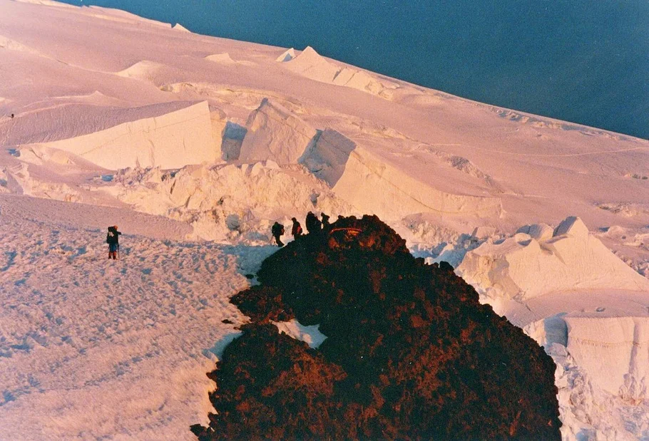
Disappointment Cleaver Route (Mount Rainier)
The Disappointment Cleaver route is the standard and most celebrated climbing route on Mount Rainier, ascending the glaciated south flank of the stratovolcano via the Muir Snowfield, the Cowlitz and Ingraham glaciers, and the rocky buttress of the Cleaver. Graded French F to PD with 2,750 metres of elevation gain from Paradise, it is North America's premier high-altitude mountaineering proving ground, presenting steep crevasse route-finding, serac fall hazards, and rapid maritime storm cycles.
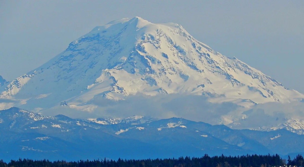
Liberty Ridge (Mount Rainier)
Liberty Ridge is the premier technical alpine classic of Mount Rainier and one of North America's Fifty Classic Climbs, rising dramatically on the mountain's north face between the Carbon and Winthrop glaciers. Ascending 1,200 vertical metres directly up a knife-edge snow, ice, and rock spine bounded by the sheer avalanche-swept walls of the Willis Wall, it is graded French D with sustained 50° to 55° ice and high objective hazards.
Historical Expeditions (3)
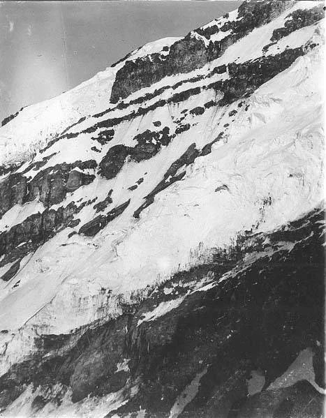
1870 Historic First Ascent of Mount Rainier by Stevens and Van Trump
On August 17, 1870, Hazard Stevens and Philemon Beecher Van Trump made the first documented ascent of Mount Rainier, climbing past Gibraltar Rock and surviving an overnight gale in summit steam vents.
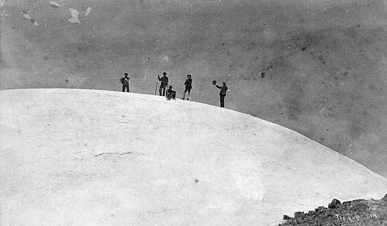
1890 Historic First Female Ascent of Mount Rainier by Fay Fuller
On August 10, 1890, twenty-year-old journalist Fay Fuller achieved the historic first female ascent of Mount Rainier, scaling Gibraltar Rock and bivouacking in the summit crater.
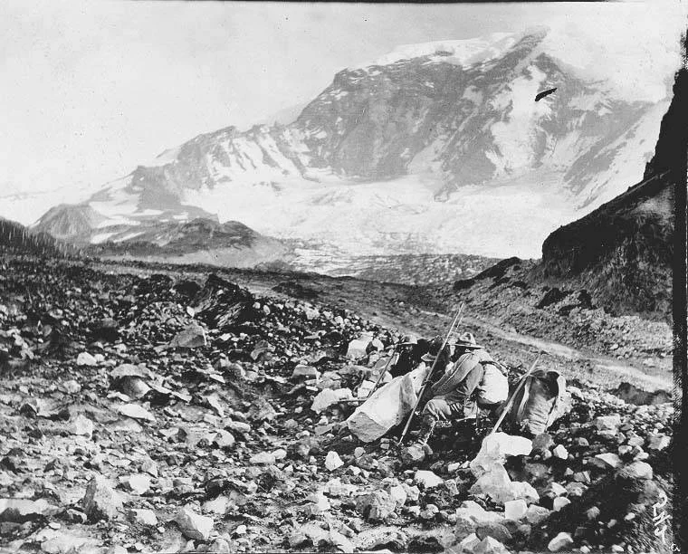
1935 First Ascent of Liberty Ridge on Mount Rainier by Daiber, Campbell, and Borrow
On September 29, 1935, Ome Daiber, Arnie Campbell, and Jim Borrow achieved the bold first ascent of Liberty Ridge on Mount Rainier, pioneering the mountain's north face classic.
Summit Chronicles & Stories (3)
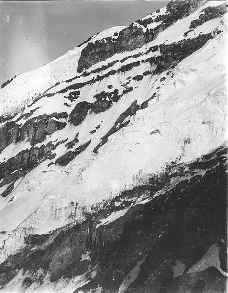
Caverns in the Clouds: The 1870 First Ascent of Mount Rainier
On August 17, 1870, Hazard Stevens and Philemon Beecher Van Trump achieved the first documented ascent of Mount Rainier. Scaling the crumbling volcanic precipice of Gibraltar Rock, they reached the summit crater at dusk and survived a freezing night inside boiling geothermal steam vents.
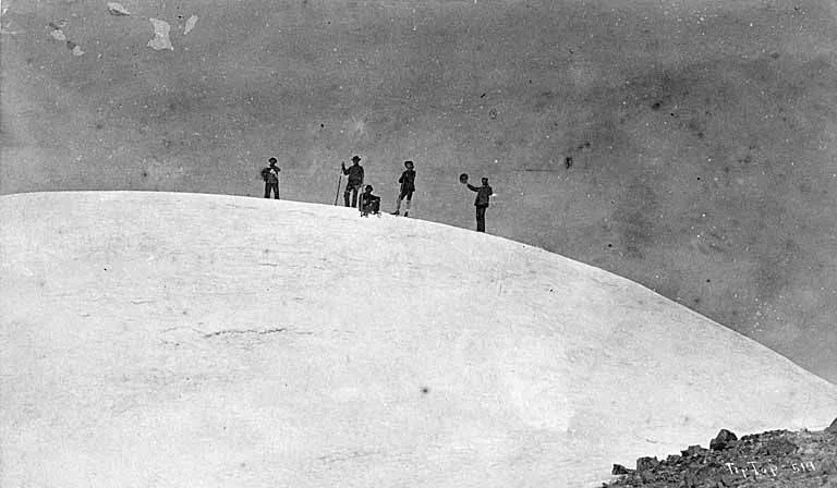
Bloomers on the Volcano: Fay Fuller's 1890 Mount Rainier Triumph
On August 10, 1890, twenty-year-old schoolteacher and journalist Fay Fuller achieved the historic first female ascent of Mount Rainier. Climbing past Gibraltar Rock in a heavy woolen dress and calked boots, she conquered the 4,392-metre volcano and bivouacked inside its steaming crater caves.
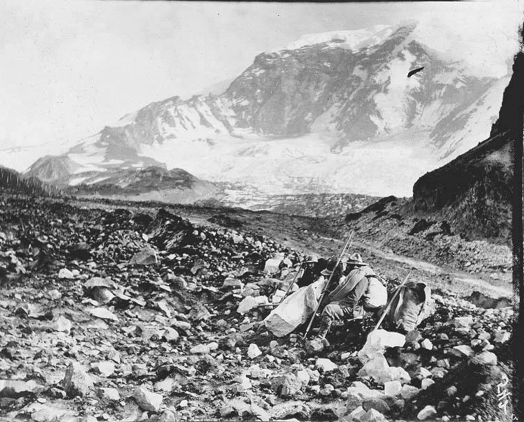
The Frozen Spine of Liberty: Daiber's 1935 North Face Triumph on Rainier
On September 29, 1935, Pacific Northwest climbers Ome Daiber, Arnie Campbell, and Jim Borrow achieved the bold first ascent of Liberty Ridge on Mount Rainier. Ascending 1,200 vertical metres of steep alpine ice and mixed rock flanked by the Willis Wall, they established an enduring North American classic.
Frequently Asked Questions: Mount Rainier
What is Mount Rainier and where is it located in Washington State?
Mount Rainier is an episodic active stratovolcano rising to 4,392 metres in the Cascade Range of Washington, located approximately 95 kilometres south-southeast of Seattle.
What is the official elevation and prominence of Mount Rainier?
Mount Rainier has an elevation of 4,392 metres (14,411 feet) and a topographic prominence of 4,027 metres, making it the most prominent peak in the contiguous United States.
Who made the first documented ascent of Mount Rainier?
General Hazard Stevens and Philemon Beecher Van Trump made the first documented ascent on August 17, 1870, via Gibraltar Rock, surviving the night in summit steam vents.
Who was the first woman to climb Mount Rainier?
American schoolteacher and journalist Fay Fuller became the first woman to summit Mount Rainier on August 10, 1890, climbing in woolen bloomers and calked boots.
What are the most popular climbing routes on Mount Rainier?
The standard route is the Disappointment Cleaver via Camp Muir and Ingraham Glacier, while Liberty Ridge on the north face is celebrated as a premier Grade IV technical ice classic.
How many glaciers cover Mount Rainier?
Mount Rainier is draped by 25 named glaciers spanning more than 35 square miles, forming the largest glaciated glacial system in the contiguous United States.
What is the historical significance of the summit steam caves on Mount Rainier?
Geothermal steam vents inside the volcanic crater have created subterranean ice caverns that famously saved the lives of early pioneers, including Stevens, Van Trump, and Fuller, during sub-zero summit gales.
What are the primary hazards when climbing Mount Rainier?
Primary hazards include hidden crevasse falls, sudden Pacific maritime blizzards, rockfall around the volcanic cleavers, serac collapses on active icefalls, and high-altitude pulmonary edema.
Documented Sources & Archival Citations
- The Challenge of Rainier(Dee Molenaar / The Mountaineers Books)
Supporting claim: Comprehensive historical chronicle of Mount Rainier explorations, geology, and mountaineering ascents
Accessed/Documented: 2026 - The Ascent of Takhoma (The Atlantic Monthly, 1876)(Hazard Stevens)
Supporting claim: Primary first-person account of the 1870 first ascent by Stevens and Van Trump
Accessed/Documented: 2026