Mount Tsurugi Bessan Ridge & Kani-no-Tatebai Route
The Bessan Ridge and Kani-no-Tatebai Route is Japan's ultimate classic alpine rock scramble, leading to the razor-like 2,999-metre apex of Mount Tsurugi. Starting from Murodo across the Tateyama volcanic plateau, the route crosses Tsurugigozen col to follow a serrated granite arête featuring 13 distinct rock obstacles equipped with iron chains, bolts, and carved footholds.
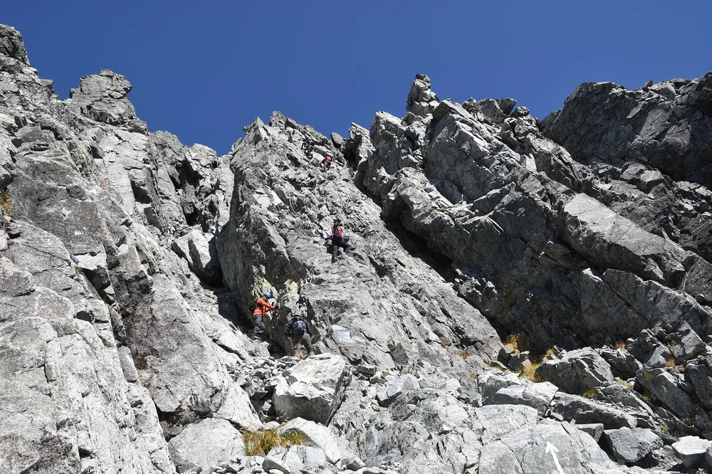
Ascent line, technical cruxes & camp topography profile for Mount Tsurugi Bessan Ridge & Kani-no-Tatebai Route
Mountain Safety & Conditions Disclaimer: High-altitude climbing, glacial travel, and technical ascents entail severe objective risks including avalanches, serac collapses, rapid weather collapse, and altitude illness. Historical route descriptions and summit claims on Mountanity reflect documented archival sources and must not be used as live operational safety assessments. Local regulations, permits, and physical glacial topography change continuously.
Peer Review: Senior Editorial Board & Historical Reviewers • Editorial Standards
Tactical & Camp Notes
Complete head for heights, mountaineering helmet, and dry rock conditions are essential; traversing during rain or high wind is exceptionally perilous.
Identified Objective Hazards
- •Severe vertical fall risk on the Kani-no-Tatebai and Kani-no-Yokobai cliff sections
- •Frequent rockfall in tight chutes triggered by climbers above
- •Extremely slick granite slabs when wet from rain or mountain mist
- •Late-persisting snow couloirs requiring crampons in early summer
Interactive Elevation Profile
Vertical profile, technical cruxes, and camp staging progression for Mount Tsurugi Bessan Ridge & Kani-no-Tatebai Route on Mount Tsurugi / Tsurugidake.
The high-altitude tourist and mountaineering transport hub on the Tateyama Kurobe Alpine Route.
Camp-by-Camp Topography
Key staging altitudes, technical cruxes, and terrain transitions for Mount Tsurugi Bessan Ridge & Kani-no-Tatebai Route.
Murodo Alpine Plateau
The high-altitude tourist and mountaineering transport hub on the Tateyama Kurobe Alpine Route.
Tsurugigozen Small Hut
Col refuge offering commanding vistas of Mount Tsurugi's imposing South Face and Bessan ridge.
Tsurugisawa Camp & Mountain Rescue Station
Glacial valley base campsite and Toyama Prefectural Police Mountain Rescue outpost.
Mount Tsurugi Summit
The sharp granite summit of Tsurugidake, home to a stone shrine and the historic site of the 1907 survey discovery.
Topographic Location & Terrain Map
Cartographic datum, massif coordinates, and terrain context for Mount Tsurugi Bessan Ridge & Kani-no-Tatebai Route on Mount Tsurugi / Tsurugidake.
Interactive Topographic Terrain Map
Click below to load live cartographic contours, glacier approaches, and geographic markers for Mount Tsurugi / Tsurugidake (36°37′25″ N, 137°37′02″ E).
Key Statistics & Topographic Figures
- Route Type
- Extreme Alpine Rock Scramble & Iron Chain Face
Topography
- Technical Difficulty
- Extremely Technical & Hazardous / Alpine Grade III-IV Scramble
Grade III-IV alpine rock scramble, near-vertical chain wall (Tatebai), exposed cliff traverse (Yokobai)
- Country / Region
- Japan (Hida Mountains, Toyama Prefecture)
Location
Archival Primary Source Quotations
“A mountain route is not merely a path of rock and ice; it is a test of human endurance, judgment, and humility.”
Defined Alpine Terminology & Concepts
- Crux
- The most difficult and technically demanding pitch or section of a climbing route.
- Normal Route (Voie Normale)
- The most frequently climbed, least technical, and historically standard path to a mountain summit.
Frequently Asked Questions: Mount Tsurugi Bessan Ridge & Kani-no-Tatebai Route
What is the climbing difficulty and grade of Mount Tsurugi Bessan Ridge & Kani-no-Tatebai Route?
Mount Tsurugi Bessan Ridge & Kani-no-Tatebai Route on mount-tsurugi is graded as Extremely Technical & Hazardous / Alpine Grade III-IV Scramble, with technical climbing requirements including Grade III-IV alpine rock scramble, near-vertical chain wall (Tatebai), exposed cliff traverse (Yokobai).
What are the primary hazards on the Mount Tsurugi Bessan Ridge & Kani-no-Tatebai Route?
Climbers on Mount Tsurugi Bessan Ridge & Kani-no-Tatebai Route must navigate severe objective hazards including Severe vertical fall risk on the Kani-no-Tatebai and Kani-no-Yokobai cliff sections, Frequent rockfall in tight chutes triggered by climbers above, Extremely slick granite slabs when wet from rain or mountain mist, Late-persisting snow couloirs requiring crampons in early summer.
What camps are established on Mount Tsurugi Bessan Ridge & Kani-no-Tatebai Route?
Mount Tsurugi Bessan Ridge & Kani-no-Tatebai Route typically features 4 staging camps, progressing from Murodo Alpine Plateau (2450m) up toward the summit.
Mountain Ascended
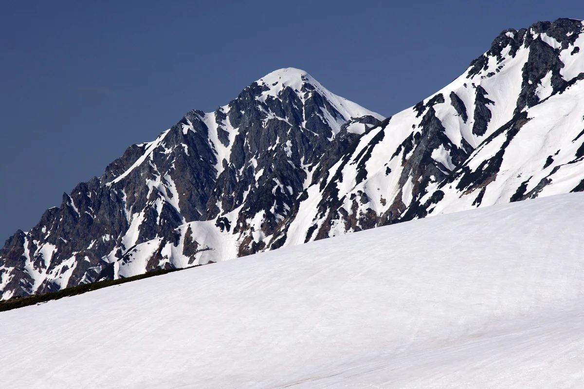

Mount Tsurugi / Tsurugidake
Mount Tsurugi (Tsurugidake) is a fearsome 2,999-metre (9,839 ft) granite horn in the northern Hida Mountains of Toyama Prefecture, known as the most hazardous and technically challenging alpine peak in Japan. Revered in ancient esoteric Buddhism as a realm of hell forbidden to human feet, the mountain became the epicenter of an epic race in 1907 between the Imperial Land Survey team led by Yoshitaro Shibasaki and master hunter Chōjirō Uji, and the newly established Japanese Alpine Club. Upon reaching the virgin summit, the survey team made the astonishing discovery of an ancient Heian-period bronze cane head and sword tip, revealing that ascetic Shugendō pilgrims had scaled the perilous peak over a millennium earlier.
Documented Expeditions on this Route (1)
Verified historical summits, siege campaigns, and pioneer attempts recorded on Mount Tsurugi Bessan Ridge & Kani-no-Tatebai Route.
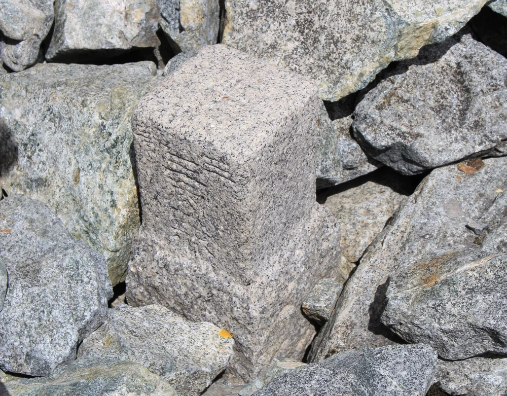
1907 Imperial Land Survey Historic First Modern Ascent of Mount Tsurugi
On July 13, 1907, an Imperial Japanese Army Land Survey team guided by master matagi hunter Chōjirō Uji achieved the historic first modern ascent of Mount Tsurugi (2,999 m), conquering Japan's most formidable alpine peak and discovering ancient Heian-period pilgrim relics on the summit.
Archival Chronicles & Stories on this Route (1)
In-depth longform historical narratives, harrowing survival accounts, and firsthand alpine journals on Mount Tsurugi Bessan Ridge & Kani-no-Tatebai Route.
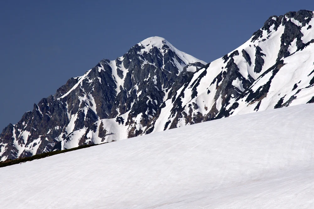
The Needle of Rock: Chōjirō Uji and the 1907 Conquest of Mount Tsurugi
Master matagi hunter Chōjirō Uji guides surveyor Yoshitaro Shibasaki up Mount Tsurugi's sheer walls in 1907, discovering ancient Heian relics on the virgin peak.
Documented Sources & Archival Citations
- Toyama Mountaineering Guide & Mountain Safety Bulletin(Toyama Prefectural Police Mountain Rescue)
Supporting claim: Technical route grading and hazard advisory for Mount Tsurugi
Accessed/Documented: 2026