Mount Tsurugi / Tsurugidake
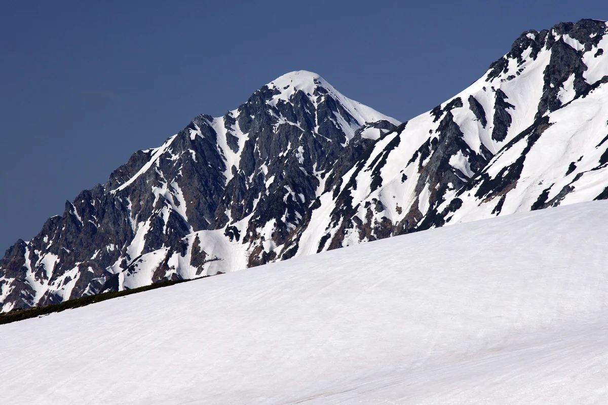
Mount Tsurugi (Tsurugidake) is a fearsome 2,999-metre (9,839 ft) granite horn in the northern Hida Mountains of Toyama Prefecture, known as the most hazardous and technically challenging alpine peak in Japan.

Mountain Safety & Conditions Disclaimer: High-altitude climbing, glacial travel, and technical ascents entail severe objective risks including avalanches, serac collapses, rapid weather collapse, and altitude illness. Historical route descriptions and summit claims on Mountanity reflect documented archival sources and must not be used as live operational safety assessments. Local regulations, permits, and physical glacial topography change continuously.
Peer Review: Senior Editorial Board & Historical Reviewers • Editorial Standards
Geographical Setting & Topography
Chūbu-Sangaku National Park, Tateyama Range, Toyama Prefecture, Honshu, Japan.
Historic First Ascent
Date: July 13, 1907
Ascent Team: Yoshitaro Shibasaki, Chōjirō Uji, and the Imperial Japanese Army Land Survey Team
Key Statistics & Topographic Figures
- Official Elevation
- 2,999 metres (9,839 ft)
- Prominence
- 707 metres
- First Modern Ascent
- July 13, 1907
- Crux Section
- Kani-no-Tatebai (Crab's Vertical Crawl)
- Mountain Range
- Tateyama Range, Northern Japanese Alps
Archival Primary Source Quotations
“Tsurugidake is not a mountain of gentle steps; it is a monument of cold steel thrust through the crust of the earth.”
Defined Alpine Terminology & Concepts
- Kani-no-Tatebai
- A near-vertical chained rock face on Mount Tsurugi requiring climbers to scale steep granite slabs with extreme exposure.
- Kani-no-Yokobai
- A horizontal cliff traverse on the descent from Mount Tsurugi where climbers step blind across an overhang above an abyss.
Mount Tsurugi / Tsurugidake Mountain Weather Forecast
Detailed 14-Day Summit Window & Weather Timeline
Explore day-by-day summit push safety windows, wind shear analysis, and extended multi-day forecasts for Mount Tsurugi / Tsurugidake.
Explore Mount Tsurugi / Tsurugidake (2,999 m) in Interactive 3D
Inspect steep glacial walls, hanging seracs, ridge approaches, and elevation relief with 360° rotation and terrain tilt in WebGL.
Documented Climbing Routes (1)
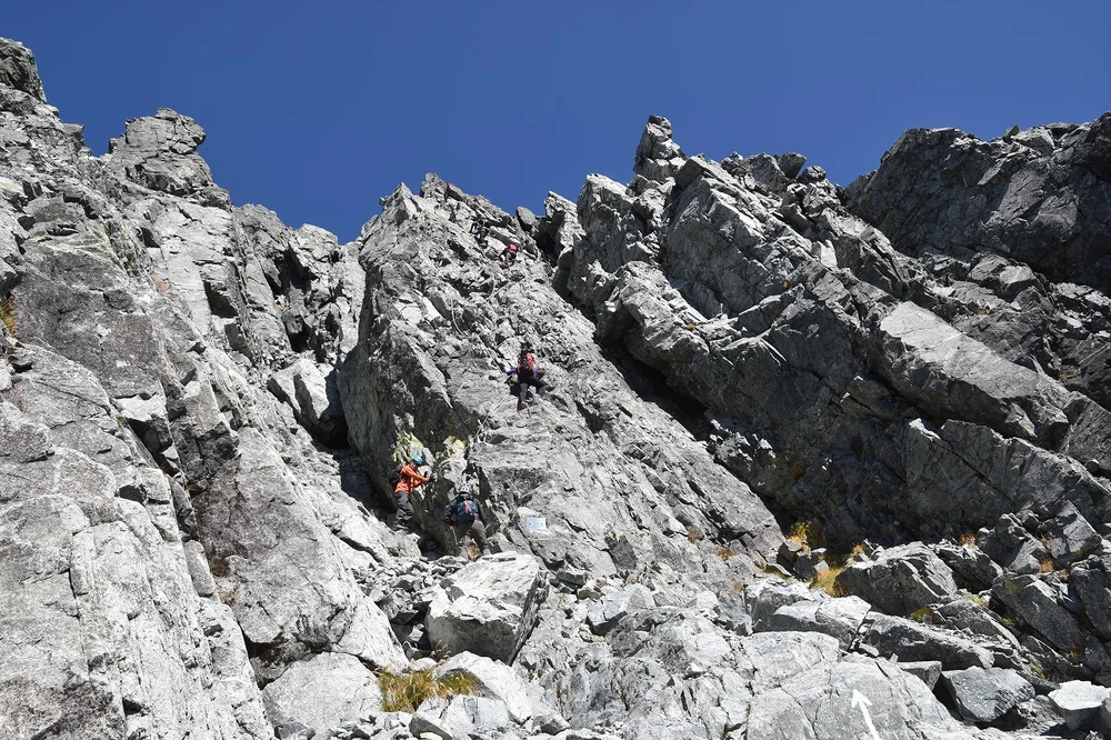
Mount Tsurugi Bessan Ridge & Kani-no-Tatebai Route
The Bessan Ridge and Kani-no-Tatebai Route is Japan's ultimate classic alpine rock scramble, leading to the razor-like 2,999-metre apex of Mount Tsurugi. Starting from Murodo across the Tateyama volcanic plateau, the route crosses Tsurugigozen col to follow a serrated granite arête featuring 13 distinct rock obstacles equipped with iron chains, bolts, and carved footholds. The crux of the ascent is the renowned Kani-no-Tatebai ('Crab's Vertical Crawl'), a sheer 50-metre near-vertical cliff face, while the descent requires overcoming the nerve-testing Kani-no-Yokobai ('Crab's Horizontal Traverse') across a sheer vertical void.
Historical Expeditions (1)
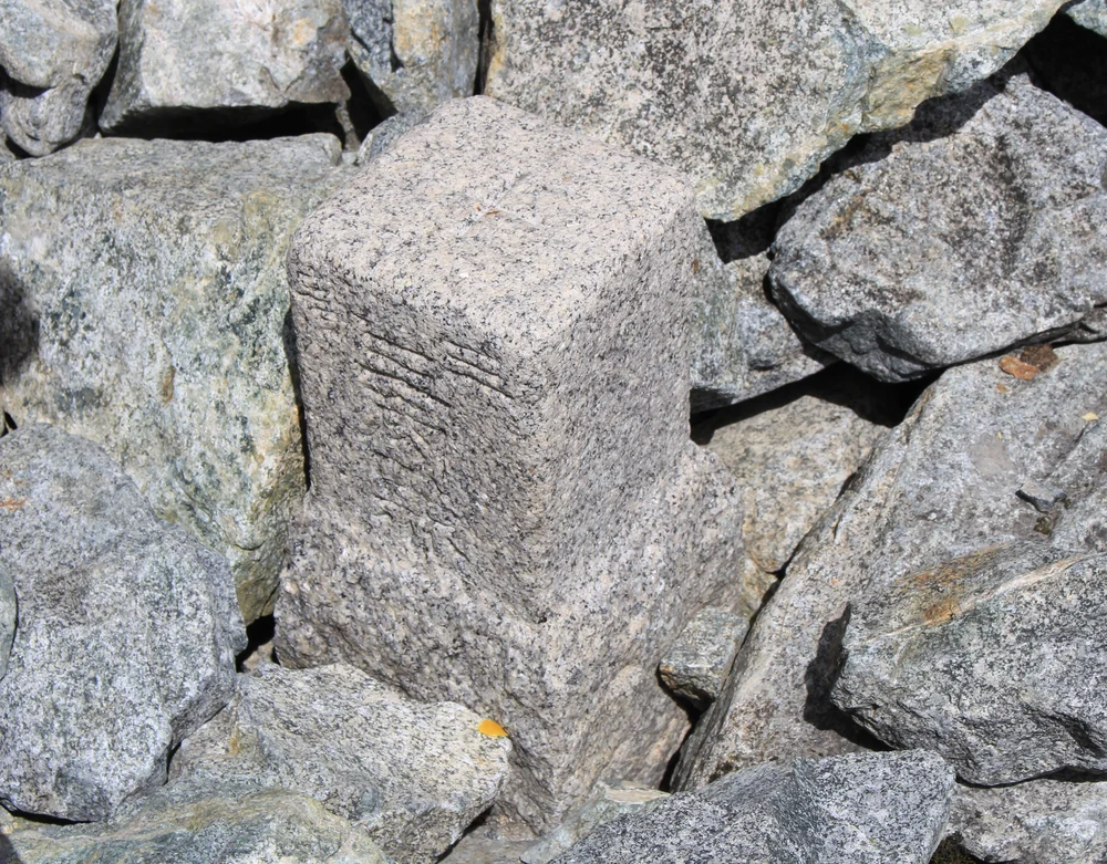
1907 Imperial Land Survey Historic First Modern Ascent of Mount Tsurugi
On July 13, 1907, an Imperial Japanese Army Land Survey team guided by master matagi hunter Chōjirō Uji achieved the historic first modern ascent of Mount Tsurugi (2,999 m), conquering Japan's most formidable alpine peak and discovering ancient Heian-period pilgrim relics on the summit.
Summit Chronicles & Stories (1)
The Needle of Rock: Chōjirō Uji and the 1907 Conquest of Mount Tsurugi
Master matagi hunter Chōjirō Uji guides surveyor Yoshitaro Shibasaki up Mount Tsurugi's sheer walls in 1907, discovering ancient Heian relics on the virgin peak.
Frequently Asked Questions: Mount Tsurugi / Tsurugidake
What is Mount Tsurugi and why is it famous?
Mount Tsurugi (2,999 m) is a fearsome granite horn in Toyama Prefecture, renowned as Japan's most technical, dangerous, and rocky alpine peak.
What is Kani-no-Tatebai on Mount Tsurugi?
The 'Crab's Vertical Crawl', a famous near-vertical 50-metre rock face equipped with iron chains that forms the crux of the ascent to the summit.
Why was Mount Tsurugi feared in ancient Japan?
Buddhist folklore declared it a mountain of needles and swords reserved for the damned in hell, forbidding mortals from climbing its ridges.
Documented Sources & Archival Citations
- Tsurugidake: Ten no Ki (The Summit: A Chronicle of Mount Tsurugi)(Bungeishunjū)
Supporting claim: Historical survey expedition and first modern ascent of Mount Tsurugi in 1907
Accessed/Documented: 1977