Baltoro Glacier
Also known as: Baltoro Muztagh Ice Stream · Concordia Glacier Highway
Multi-Decadal Satellite Observation Viewer

Glaciological Setting & Morphology
The Baltoro Glacier is one of the longest non-polar alpine valley glaciers on Earth, spanning approximately 63 kilometres through Pakistan's Central Karakoram National Park. Originating in high-altitude cirques beneath K2, Broad Peak, and the Gasherbrum group, it coalesces at Concordia, creating one of the most topographically dramatic glaciated amphitheatres in the world.
Documented Environmental & Terminus Trends
Exhibits typical Karakoram Anomaly characteristics: heavy supraglacial debris insulation across the ablation zone maintaining stable terminus positions despite global warming trends.
Scientific Observations & Flow Dynamics
Glaciological surveys conducted under GLIMS and RGI 7.0 frameworks indicate that Baltoro belongs to the complex 'Karakoram Anomaly' regime. Unlike retreating glaciers across the eastern Himalayas, the lower 25 km of Baltoro is armored with a thick mantling of supraglacial debris (exceeding 0.5 to 1.5 metres in depth), which substantially insulates the underlying ice from solar ablation. Longitudinal velocity profiles reveal steady summer ice flow rates of 100 to 180 metres annually through the Concordia gateway.
Surrounding Mountain Summits (7)
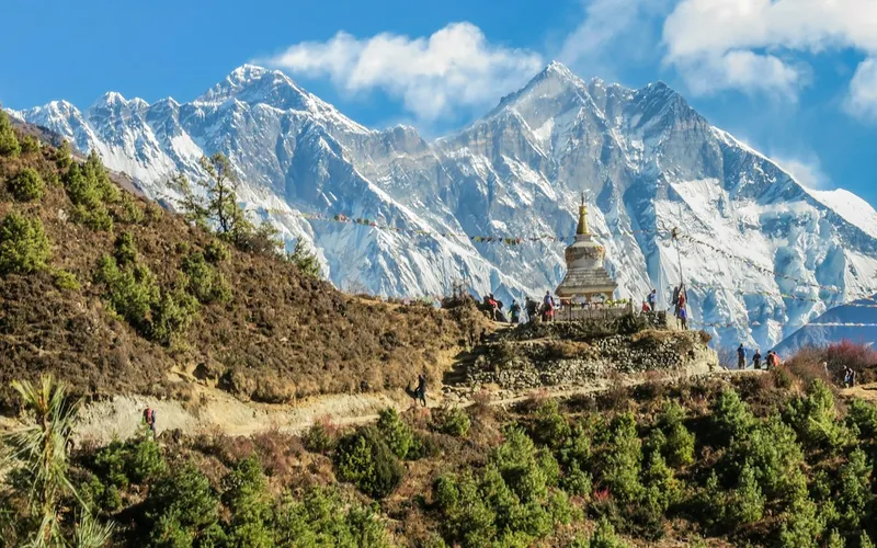


K2
K2, at 8,611 meters (28,251 ft), is the second-highest mountain on Earth and widely regarded as the most technically demanding and lethal 8,000-meter peak. Located in the heart of the Karakoram on the border between Pakistan and China, K2 is characterized by sheer relief, severe weather anomalies, and persistent objective hazards including the notorious Bottleneck couloir.
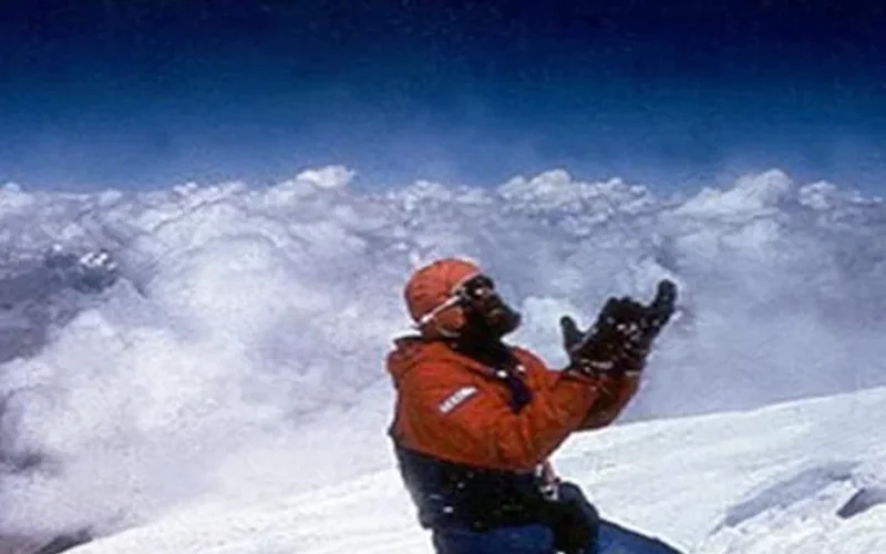
Gasherbrum I
Gasherbrum I, at 8,068 meters (26,470 ft), is the eleventh-highest mountain in the world. Named 'Hidden Peak' by explorer William Martin Conway due to its concealment behind surrounding Karakoram giants, it stands on the border between Pakistan and China. The peak was first climbed in 1958 by an American team led by Nick Clinch, and in 1992 Nazir Sabir summited it with Rajab Shah and Mehrban Shah, marking his fourth Pakistani eight-thousander.
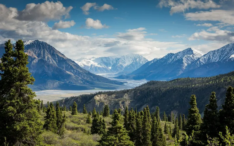
Broad Peak
Broad Peak, at 8,051 meters (26,414 ft), is the twelfth-highest mountain in the world. Located in the Karakoram directly across the Godwin-Austen Glacier from K2, it is famous for its 1.5-kilometre-long summit crest. First climbed in lightweight alpine style without supplemental oxygen or high-altitude porters in 1957 by an Austrian team.
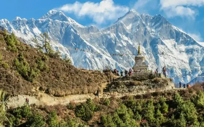
Gasherbrum II
Gasherbrum II, standing at 8,035 meters (26,362 ft), is the thirteenth-highest mountain on Earth and the third-highest peak of the Gasherbrum massif in the Karakoram. Located at the head of the Baltoro Glacier on the Pakistan-China frontier, it features a classic pyramidal profile with challenging ice couloirs. First summited in 1956 by an Austrian team, it was famously climbed in pure alpine style in 1982 by Reinhold Messner, Nazir Sabir, and Sher Khan.
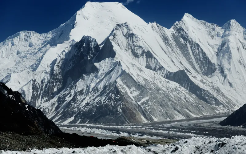
Chogolisa
Chogolisa, standing at 7,665 meters (25,148 ft) in the Karakoram range of Pakistan, is renowned as Bride Peak for its broad, graceful snow-draped profile. Located south of Concordia and the Baltoro Glacier, it features two prominent summits connected by a sweeping knife-edge snow ridge. In 1909, the Duke of the Abruzzi set a world altitude record on its slopes, and in 1957, it became the site of alpine pioneer Hermann Buhl's fatal cornice fall.
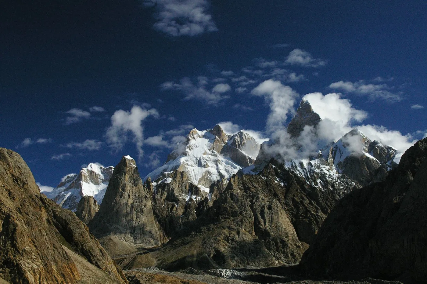
Baintha Brakk
Baintha Brakk, famously known as 'The Ogre', is a colossal 7,285-meter (23,901 ft) granite mountain in the Panmah Muztagh subrange of the Karakoram. Widely regarded as one of the most perilous and technically difficult mountains in the world, its sheer vertical granite towers rise steeply above the Biafo Glacier. Following its epic 1977 first ascent by British climbers Doug Scott and Chris Bonington—during which Scott broke both legs and crawled for over a week down the mountain—The Ogre repelled more than twenty international expeditions over twenty-four years before seeing a second ascent in 2001.
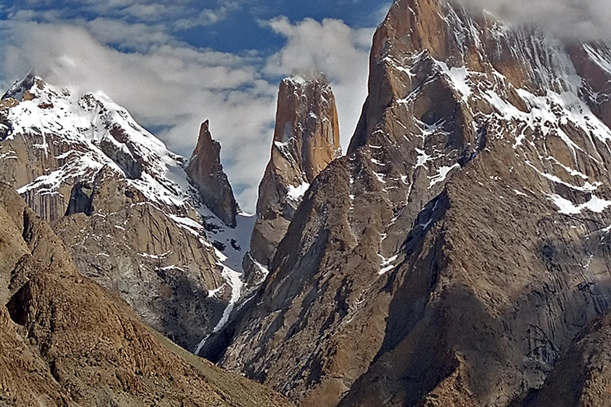
Trango Tower (Nameless Tower)
Trango Tower, universally renowned as Nameless Tower, is a stupendous 6,286-metre granite monolith rising vertically from the Baltoro Glacier basin in Gilgit-Baltistan, Pakistan. With sheer vertical rock walls exceeding 1,000 metres of vertical relief at extreme altitude, it represents the gold standard of worldwide big-wall alpine rock climbing.
Glacier Approach & Climbing Routes (1)
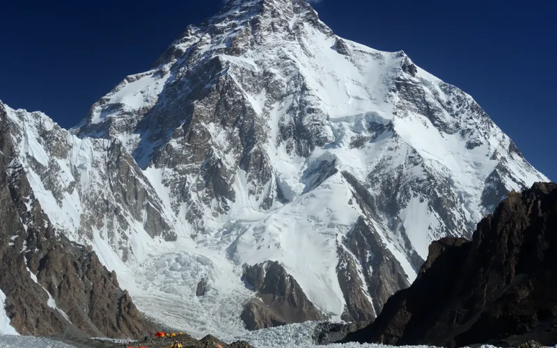
Abruzzi Spur (Southeast Ridge)
The Abruzzi Spur is the most famous and frequently climbed route on K2, tracing the mountain's steep southeast ridge from the Godwin-Austen Glacier to the summit. First explored in 1909 by Prince Luigi Amedeo, Duke of the Abruzzi, it was successfully climbed to the summit in 1954 by an Italian team. The route requires extreme physical endurance and high-grade technical climbing on rock, ice, and mixed terrain through legendary cruxes like House's Chimney, the Black Pyramid, and the Bottleneck couloir.
Documented Sources & Archival Citations
- Randolph Glacier Inventory 7.0 (RGI 7.0): A dataset of global glacier outlines ↗(Global Land Ice Measurements from Space (GLIMS) / NSIDC)
Supporting claim: Baseline morphological measurements, area, and spatial boundaries for RGI70-14.04521
Accessed/Documented: 2026 - Surge dynamics and surface velocity of Central Karakoram glaciers(Journal of Glaciology)
Supporting claim: Debris insulation and flow velocity measurements at Concordia
Accessed/Documented: 2026