The Ogre South Face & West Ridge (Original Route)
The original route on Baintha Brakk (The Ogre, 7,285m) tackles the complex South Face, the steep West Col, and the sheer vertical summit pyramid rising dramatically above the Biafo Glacier. Pioneers Doug Scott, Chris Bonington, Mo Anthoine, and Clive Rowland unlocked the route over weeks of demanding climbing on vertical Karakoram granite.
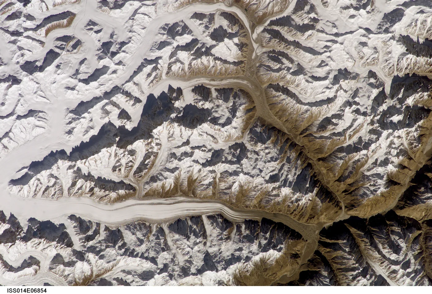
Ascent line, technical cruxes & camp topography profile for The Ogre South Face & West Ridge (Original Route)
Mountain Safety & Conditions Disclaimer: High-altitude climbing, glacial travel, and technical ascents entail severe objective risks including avalanches, serac collapses, rapid weather collapse, and altitude illness. Historical route descriptions and summit claims on Mountanity reflect documented archival sources and must not be used as live operational safety assessments. Local regulations, permits, and physical glacial topography change continuously.
Peer Review: Senior Editorial Board & Historical Reviewers • Editorial Standards
Tactical & Camp Notes
Highly complex route-finding across shattered granite buttresses, steep couloirs, and unstable snow cornices. Repelled more than 20 subsequent expeditions before a second ascent in 2001.
Identified Objective Hazards
- •Severe vertical granite exposure and complex route reversals during abseil descents
- •Fierce, unpredictable Karakoram gales bringing sudden blizzards and sub-zero temperatures
- •Falling rock and ice funneling down the steep access couloirs from the upper towers
- •Total absence of rescue: medical evacuation from the upper Biafo Glacier was impossible in 1977
Historical Context
First climbed on July 13, 1977, by Doug Scott and Chris Bonington. Scott crawled down on his hands and knees over eight days, supported by teammates Mo Anthoine and Clive Rowland. When they finally reached Base Camp, they found their porters had assumed them dead and abandoned the camp.
Interactive Elevation Profile
Vertical profile, technical cruxes, and camp staging progression for The Ogre South Face & West Ridge (Original Route) on Baintha Brakk.
Base on the lateral moraine of the Biafo Glacier beneath the soaring south face.
Camp-by-Camp Topography
Key staging altitudes, technical cruxes, and terrain transitions for The Ogre South Face & West Ridge (Original Route).
Biafo Glacier Base Camp
Base on the lateral moraine of the Biafo Glacier beneath the soaring south face.
The West Col Bivouac
Campsite perched on the narrow col separating the main Ogre massif from the surrounding ridges.
The Southwest Ridge Cave
A snow cave carved into the knife-edge crest beneath the final granite towers.
The Main Summit Tower
The vertical granite monolith forming the apex of The Ogre, surmounted via difficult crack climbing.
Topographic Location & Terrain Map
Cartographic datum, massif coordinates, and terrain context for The Ogre South Face & West Ridge (Original Route) on Baintha Brakk.
Interactive Topographic Terrain Map
Click below to load live cartographic contours, glacier approaches, and geographic markers for Baintha Brakk (35°56′54″ N, 75°45′12″ E).
Key Statistics & Topographic Figures
- Route Type
- Extreme Granite Big Wall / Mixed Alpine Route
Topography
- Technical Difficulty
- Extreme Technical Big Wall / Grade VI, 5.10, A3, Scottish IV ice
5.10 free climbing and A3 pegging on vertical Golden granite walls, 60°–80° mixed ice gullies and fragile snow mushrooms
- Country / Region
- Pakistan (Gilgit-Baltistan / Panmah Muztagh)
Location
Archival Primary Source Quotations
“A mountain route is not merely a path of rock and ice; it is a test of human endurance, judgment, and humility.”
Defined Alpine Terminology & Concepts
- Crux
- The most difficult and technically demanding pitch or section of a climbing route.
- Normal Route (Voie Normale)
- The most frequently climbed, least technical, and historically standard path to a mountain summit.
Frequently Asked Questions: The Ogre South Face & West Ridge (Original Route)
What is the climbing difficulty and grade of The Ogre South Face & West Ridge (Original Route)?
The Ogre South Face & West Ridge (Original Route) on baintha-brakk is graded as Extreme Technical Big Wall / Grade VI, 5.10, A3, Scottish IV ice, with technical climbing requirements including 5.10 free climbing and A3 pegging on vertical Golden granite walls, 60°–80° mixed ice gullies and fragile snow mushrooms.
What are the primary hazards on the The Ogre South Face & West Ridge (Original Route)?
Climbers on The Ogre South Face & West Ridge (Original Route) must navigate severe objective hazards including Severe vertical granite exposure and complex route reversals during abseil descents, Fierce, unpredictable Karakoram gales bringing sudden blizzards and sub-zero temperatures, Falling rock and ice funneling down the steep access couloirs from the upper towers, Total absence of rescue: medical evacuation from the upper Biafo Glacier was impossible in 1977.
What camps are established on The Ogre South Face & West Ridge (Original Route)?
The Ogre South Face & West Ridge (Original Route) typically features 4 staging camps, progressing from Biafo Glacier Base Camp (5100m) up toward the summit.
Mountain Ascended
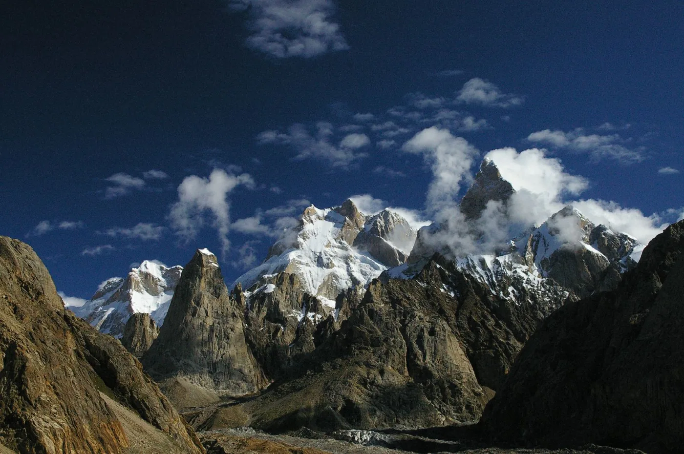

Baintha Brakk
Baintha Brakk, famously known as 'The Ogre', is a colossal 7,285-meter (23,901 ft) granite mountain in the Panmah Muztagh subrange of the Karakoram. Widely regarded as one of the most perilous and technically difficult mountains in the world, its sheer vertical granite towers rise steeply above the Biafo Glacier. Following its epic 1977 first ascent by British climbers Doug Scott and Chris Bonington—during which Scott broke both legs and crawled for over a week down the mountain—The Ogre repelled more than twenty international expeditions over twenty-four years before seeing a second ascent in 2001.
Documented Expeditions on this Route (1)
Verified historical summits, siege campaigns, and pioneer attempts recorded on The Ogre South Face & West Ridge (Original Route).
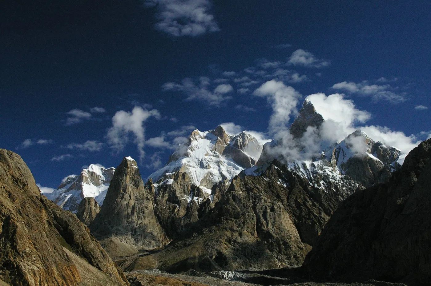
1977 British Baintha Brakk (The Ogre) Expedition
The legendary 1977 British expedition in which Doug Scott and Chris Bonington made the first ascent of Baintha Brakk (The Ogre, 7,285m), followed by Scott crawling on his hands and knees for eight days down the mountain with two shattered legs in one of mountaineering's greatest survival epics.
Archival Chronicles & Stories on this Route (1)
In-depth longform historical narratives, harrowing survival accounts, and firsthand alpine journals on The Ogre South Face & West Ridge (Original Route).
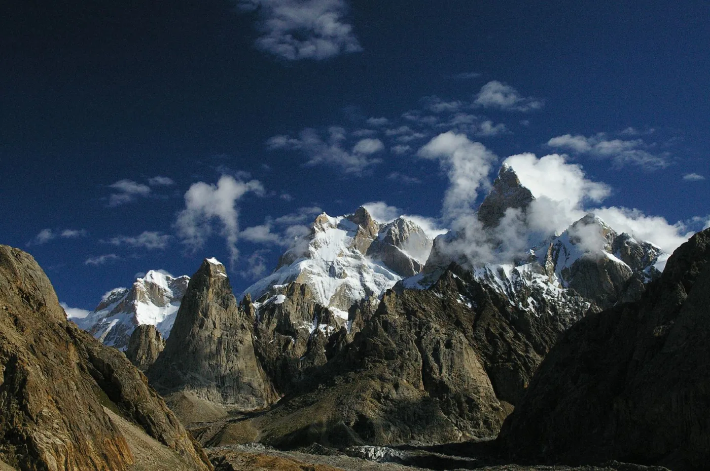
The Ogre 1977: Doug Scott's Heroic Eight-Day Crawl with Two Broken Legs
In July 1977, Doug Scott and Chris Bonington made the first ascent of Baintha Brakk (The Ogre). When Scott shattered both legs in an abseil accident, it triggered an epic eight-day crawl to survival.
Documented Sources & Archival Citations
- The Ogre: The Extraordinary Story of the First Ascent(Doug Scott / Vertebrate Publishing)
Supporting claim: Complete firsthand documentation of the route, injuries, and eight-day crawl to safety
Accessed/Documented: 2017 - Karakoram: The Himalayan Dream(Chris Bonington / American Alpine Club)
Supporting claim: Technical overview of the 1977 first ascent and topographic route profile
Accessed/Documented: 1978