Franco-Argentine Route
The Franco-Argentine Route on Cerro Fitz Roy is the historic first ascent line on Patagonia's most iconic granite monolith. Pioneered in February 1952 by French climbers Lionel Terray and Guido Magnone, the route ascends the Brecha de los Italianos, traverses the south shoulder, and tackles sustained vertical granite cracks up to French 6c (5.
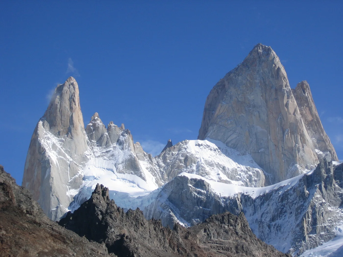
Ascent line, technical cruxes & camp topography profile for Franco-Argentine Route
Mountain Safety & Conditions Disclaimer: High-altitude climbing, glacial travel, and technical ascents entail severe objective risks including avalanches, serac collapses, rapid weather collapse, and altitude illness. Historical route descriptions and summit claims on Mountanity reflect documented archival sources and must not be used as live operational safety assessments. Local regulations, permits, and physical glacial topography change continuously.
Peer Review: Senior Editorial Board & Historical Reviewers • Editorial Standards
Tactical & Camp Notes
Requires master-level crack climbing and jam skills, efficient big-wall hauling, lightning-fast ropework during fleeting Patagonian weather windows, and expert rappel setups.
Identified Objective Hazards
- •Fierce Patagonian storms (Roaring Forties) producing sudden hurricane-force winds and icing
- •Falling verglas and rockfall down the access couloirs during afternoon warming
- •Extreme wind gusts capable of pinning climbers against rock and jamming rappel ropes
- •Severely limited good weather windows requiring rapid ascent and retreat
Historical Context
Pioneered on February 2, 1952, by Lionel Terray and Guido Magnone, representing one of the greatest milestones in post-war exploratory mountaineering.
Interactive Elevation Profile
Vertical profile, technical cruxes, and camp staging progression for Franco-Argentine Route on Cerro Fitz Roy.
Traditional snow cave and tent staging area above the Laguna de los Tres approach.
Camp-by-Camp Topography
Key staging altitudes, technical cruxes, and terrain transitions for Franco-Argentine Route.
Paso Superior High Bivouac
Traditional snow cave and tent staging area above the Laguna de los Tres approach.
Brecha de los Italianos
Col separating Fitz Roy from Aguja Poincenot, accessing the south shoulder.
The Spider Snowfield
Hanging snow patch where the upper technical granite headwall begins.
Cerro Fitz Roy Summit
The crowning granite summit of Fitz Roy offering sweeping vistas of the Patagonian Icefield.
Topographic Location & Terrain Map
Cartographic datum, massif coordinates, and terrain context for Franco-Argentine Route on Cerro Fitz Roy.
Interactive Topographic Terrain Map
Click below to load live cartographic contours, glacier approaches, and geographic markers for Cerro Fitz Roy (49°16′16″ S, 72°53′57″ W).
Key Statistics & Topographic Figures
- Route Type
- Alpine Granite Big Wall
Topography
- Technical Difficulty
- Extremely Demanding / Grade VI, ED-, 6c (5.11a), A2
Grade VI, ED-, 650m vertical granite wall above steep approach, 6c / 5.11a free climbing, A2 aid
- Country / Region
- Argentina (Patagonia / Los Glaciares National Park)
Location
Archival Primary Source Quotations
“A mountain route is not merely a path of rock and ice; it is a test of human endurance, judgment, and humility.”
Defined Alpine Terminology & Concepts
- Crux
- The most difficult and technically demanding pitch or section of a climbing route.
- Normal Route (Voie Normale)
- The most frequently climbed, least technical, and historically standard path to a mountain summit.
Frequently Asked Questions: Franco-Argentine Route
What is the climbing difficulty and grade of Franco-Argentine Route?
Franco-Argentine Route on fitz-roy is graded as Extremely Demanding / Grade VI, ED-, 6c (5.11a), A2, with technical climbing requirements including Grade VI, ED-, 650m vertical granite wall above steep approach, 6c / 5.11a free climbing, A2 aid.
What are the primary hazards on the Franco-Argentine Route?
Climbers on Franco-Argentine Route must navigate severe objective hazards including Fierce Patagonian storms (Roaring Forties) producing sudden hurricane-force winds and icing, Falling verglas and rockfall down the access couloirs during afternoon warming, Extreme wind gusts capable of pinning climbers against rock and jamming rappel ropes, Severely limited good weather windows requiring rapid ascent and retreat.
What camps are established on Franco-Argentine Route?
Franco-Argentine Route typically features 4 staging camps, progressing from Paso Superior High Bivouac (2000m) up toward the summit.
Mountain Ascended
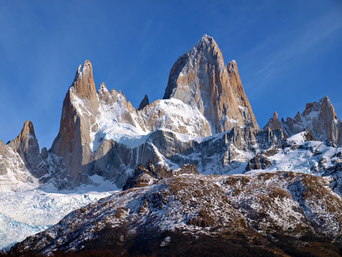


Cerro Fitz Roy
Cerro Fitz Roy, also known as Monte Fitz Roy or Cerro Chaltén at 3,405 meters (11,171 ft), is a world-renowned granite monolith situated in the Southern Patagonian Icefield near El Chaltén, Argentina. Revered for its vertical granite walls and notorious hurricane-force Patagonian storms, it is considered one of the most technically demanding alpine summits on Earth. French climbers Lionel Terray and Guido Magnone completed the legendary first ascent on February 2, 1952, establishing the historic Franco-Argentine Route.
Documented Expeditions on this Route (2)
Verified historical summits, siege campaigns, and pioneer attempts recorded on Franco-Argentine Route.
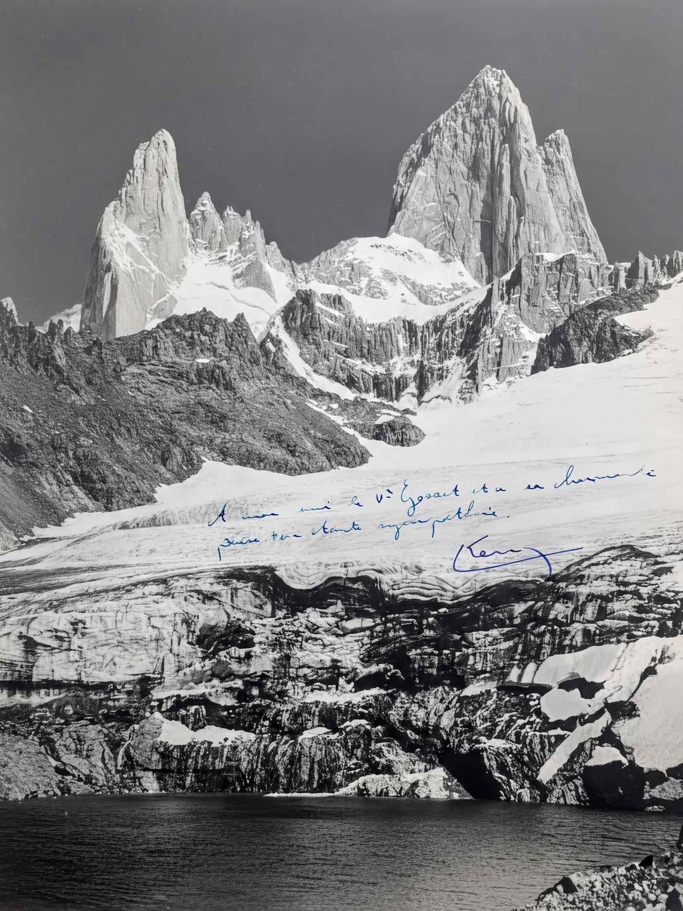
1952 French Patagonia Cerro Fitz Roy First Ascent Expedition
On February 2, 1952, French mountaineers Lionel Terray and Guido Magnone achieved the historic first ascent of Cerro Fitz Roy (3,405m) in Patagonia, overcoming ferocious storms, vertical granite cracks, and technical aid to conquer one of Earth's most formidable spires.
2021 Sean Villanueva O'Driscoll Solo Moonwalk Traverse of Fitz Roy Massif
Between February 5 and 10, 2021, Belgian climber Sean Villanueva O'Driscoll achieved a monumental milestone by making the first solo traverse of the entire Fitz Roy range, traversing nine spires from south to north in six days carrying a small pack and his tin whistle.
Archival Chronicles & Stories on this Route (2)
In-depth longform historical narratives, harrowing survival accounts, and firsthand alpine journals on Franco-Argentine Route.
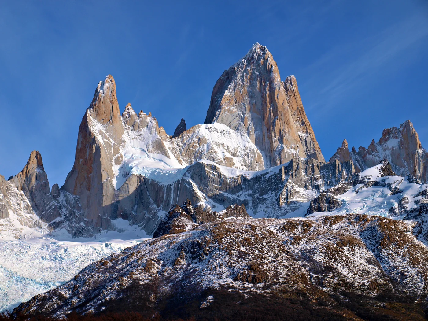
Conquest of the Patagonian Fang: Lionel Terray and Guido Magnone on Fitz Roy
In February 1952, French mountaineers Lionel Terray and Guido Magnone conquered the virgin summit of Cerro Fitz Roy in Patagonia via the historic Franco-Argentine Route.
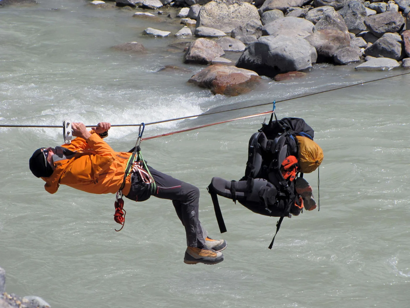
The Musical Soloist: Sean Villanueva O'Driscoll's Moonwalk Traverse of Fitz Roy
In February 2021, Belgian climber Sean Villanueva O'Driscoll accomplished the first solo traverse of the entire Fitz Roy range, traversing nine spires over six days with a tin whistle.
Documented Sources & Archival Citations
- Conquistadors of the Useless(Lionel Terray / Victor Gollancz)
Supporting claim: Detailed narrative of the first ascent of Fitz Roy in 1952
Accessed/Documented: 1963 - Patagonia: Vertical Dreams(Rolando Garibotti / Ediciones Desnivel)
Supporting claim: Modern technical topo and historical documentation of the Franco-Argentine Route
Accessed/Documented: 2012