Illimani South Ridge Normal Route
The South Ridge Normal Route of Nevado Illimani is the classic high-altitude line ascending the southern monarch of the Cordillera Real to 6,438 metres. First climbed in September 1898 by Sir William Martin Conway and Swiss guides Antoine Maquignaz and Jean-Antoine Pellissier, the route traverses hanging glaciers and the famous Nido de Cóndores aerie before conquering an exposed 50-degree knife-edge summit arête.
Ascent line, technical cruxes & camp topography profile for Illimani South Ridge Normal Route
Mountain Safety & Conditions Disclaimer: High-altitude climbing, glacial travel, and technical ascents entail severe objective risks including avalanches, serac collapses, rapid weather collapse, and altitude illness. Historical route descriptions and summit claims on Mountanity reflect documented archival sources and must not be used as live operational safety assessments. Local regulations, permits, and physical glacial topography change continuously.
Peer Review: Senior Editorial Board & Historical Reviewers • Editorial Standards
Tactical & Camp Notes
Starting from the village of Pinaya, climbers ascend steep shepherd paths to Puente Roto Base Camp at 4,500 metres. The route then scrambles over rocky scree and slabs to gain the dramatic Nido de Cóndores (Condor's Nest) high camp at 5,550 metres, perched on a narrow rocky spur between two immense glacier tongues. From the aerie, climbers rope up to negotiate a fractured lower glacier, weave past giant seracs, and surmount a steep 50-degree bergschrund wall. The final section follows a breathtaking knife-edge snow ridge with sheer drops into the Amazon basin, reaching Pico Sur at 6,438 metres.
Interactive Elevation Profile
Vertical profile, technical cruxes, and camp staging progression for Illimani South Ridge Normal Route on Illimani.
Grassy plateau camp situated below the lateral moraine beneath Illimani's western slopes.
Camp-by-Camp Topography
Key staging altitudes, technical cruxes, and terrain transitions for Illimani South Ridge Normal Route.
Puente Roto Base Camp
Grassy plateau camp situated below the lateral moraine beneath Illimani's western slopes.
Nido de Cóndores High Camp
Spectacular eagle's nest rock spur camp offering dizzying views over the city of La Paz.
Illimani Pico Sur Summit
Highest summit of the Illimani massif, commanding endless vistas over the Amazon basin.
Topographic Location & Terrain Map
Cartographic datum, massif coordinates, and terrain context for Illimani South Ridge Normal Route on Illimani.
Interactive Topographic Terrain Map
Click below to load live cartographic contours, glacier approaches, and geographic markers for Illimani (16°39′22″ S, 67°47′06″ W).
Key Statistics & Topographic Figures
- Elevation Gain
- 2,200 m from Pinaya roadhead
- Steepest Pitch
- 50° hard firn and bergschrund headwall
- First Ascent
- September 21, 1898 (Conway, Maquignaz, Pellissier)
Archival Primary Source Quotations
“The ridge narrowed to a blade of ice; every step was taken with the abyss yawning on our right and left.”
Defined Alpine Terminology & Concepts
- Condor's Nest (Nido de Cóndores)
- A spectacular rocky terrace situated at 5,550 metres offering natural shelter between Illimani's glaciated flanks.
Frequently Asked Questions: Illimani South Ridge Normal Route
What is the Illimani South Ridge Normal Route?
It is the classic 1898 line pioneered by Sir William Martin Conway ascending via Nido de Cóndores to Pico Sur at 6,438 metres.
What technical grade is the Illimani Normal Route?
The route is graded AD with sustained 50-degree firn slopes, complex crevasse navigation, and an exposed knife-edge summit arête.
Where do climbers camp on the Illimani South Ridge?
Climbers typically stay at Puente Roto Base Camp (4,500 m) and Nido de Cóndores High Camp (5,550 m).
Mountain Ascended
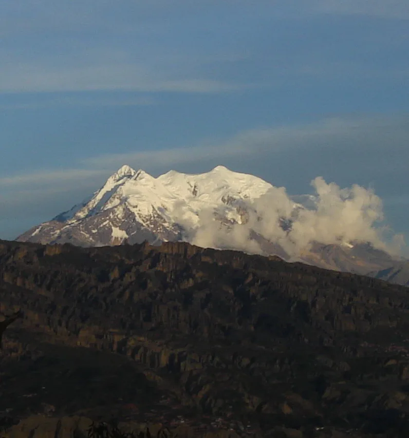

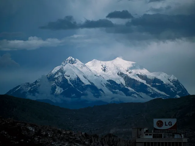
Illimani
Nevado Illimani is the iconic 6,438-metre monarch of the Cordillera Real, towering dramatically over the city of La Paz and the Bolivian Altiplano. First climbed in September 1898 by British explorer Sir William Martin Conway alongside Swiss guides Antoine Maquignaz and Jean-Antoine Pellissier, the mountain features four distinct summits linked by knife-edge glaciated ridges. Its immense southern and eastern faces drop precipitously toward the Amazon basin.
Documented Expeditions on this Route (2)
Verified historical summits, siege campaigns, and pioneer attempts recorded on Illimani South Ridge Normal Route.
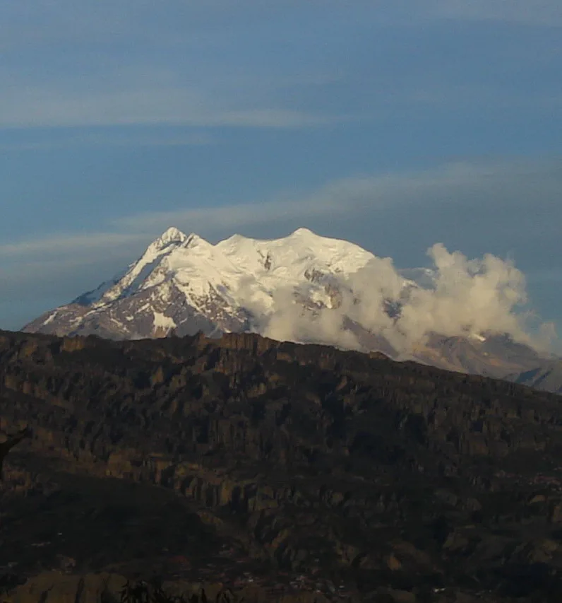
1898 Sir William Martin Conway Illimani Historic First Ascent Expedition
On September 21, 1898, British explorer Sir William Martin Conway alongside Italian Alpine guides Antoine Maquignaz and Jean-Antoine Pellissier achieved the historic first ascent of Nevado Illimani (6,438 m). Overcoming extreme cold, altitude sickness, and knife-edge snow cornices, Conway conquered the monarch of the Cordillera Real and conducted the first scientific surveys of the Bolivian Andes.
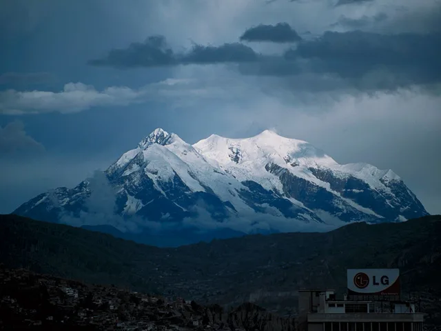
1972 Mesili-Monasterio Illimani South Face Historic Direct Ascent
In August 1972, Alain Mesili and elite companions completed the first direct ascent of the terrifying 2,000-metre South Face of Nevado Illimani (6,438 m). Confronting relentless vertical ice flutings, stonefall, and hanging bivouacs suspended over the Amazon basin, the team conquered the greatest high-altitude big-wall ice face in Bolivia.
Archival Chronicles & Stories on this Route (2)
In-depth longform historical narratives, harrowing survival accounts, and firsthand alpine journals on Illimani South Ridge Normal Route.
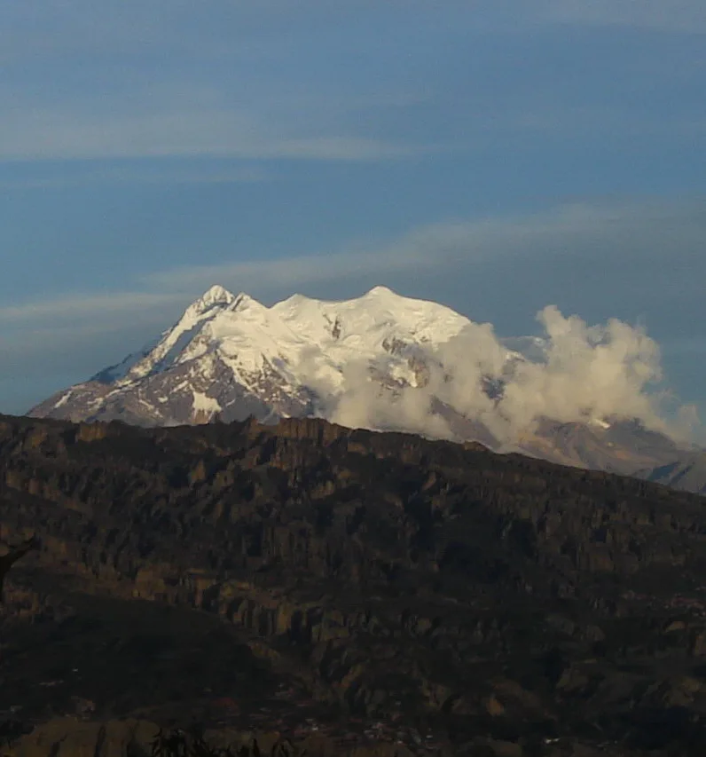
Conway upon Illimani: The 1898 Conquest of Bolivia's Monarch
On September 21, 1898, Victorian explorer Sir William Martin Conway and his Italian guides conquered Nevado Illimani (6,438 m), unlocking the roof of the Cordillera Real.
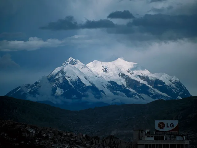
The Colossus of Chijllani: Mesili on Illimani's South Face
In August 1972, Alain Mesili conquered the 2,000-metre South Face of Nevado Illimani (6,438 m), solving the ultimate big-wall ice challenge in Bolivia.
Documented Sources & Archival Citations
- The Bolivian Andes(Sir William Martin Conway / Harper & Brothers)
Supporting claim: Firsthand technical description of the pioneering 1898 route to Pico Sur
Accessed/Documented: 1901 - Bolivia: A Climbing Guide(Yossi Brain / The Mountaineers Books)
Supporting claim: Modern technical route topo and camp descriptions for Illimani Normal Route
Accessed/Documented: 1999