Mount Stanley Margherita Glacier Route via Elena Hut
The standard mountaineering route up Mount Stanley's Margherita Peak (5,109 m), navigating equatorial glaciers, crevassed ice plateaus, and jagged metamorphic rock ridges in the mist-veiled Rwenzori Mountains of Uganda.
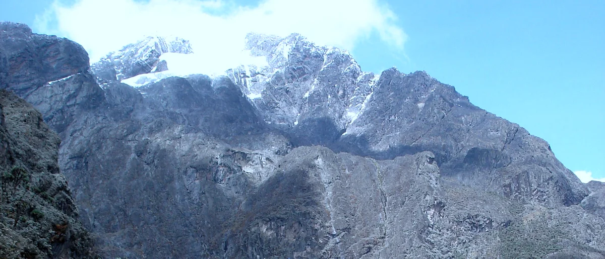
Ascent line, technical cruxes & camp topography profile for Mount Stanley Margherita Glacier Route via Elena Hut
Mountain Safety & Conditions Disclaimer: High-altitude climbing, glacial travel, and technical ascents entail severe objective risks including avalanches, serac collapses, rapid weather collapse, and altitude illness. Historical route descriptions and summit claims on Mountanity reflect documented archival sources and must not be used as live operational safety assessments. Local regulations, permits, and physical glacial topography change continuously.
Peer Review: Senior Editorial Board & Historical Reviewers • Editorial Standards
Tactical & Camp Notes
Starting from Elena Hut (4,541 m) on a rocky crest, climbers don crampons to traverse the receding Elena Glacier to the high rocky col. The route then steps onto the Stanley Plateau glacier, ascending gentle ice slopes to the foot of Margherita Glacier. Climbers ascend a 45-degree ice wall (now often assisted by fixed ladders and ropes due to glacial recession) to reach the steep summit rock ridge, traversing across giant boulders to Margherita Peak (5,109 m).
Interactive Elevation Profile
Vertical profile, technical cruxes, and camp staging progression for Mount Stanley Margherita Glacier Route via Elena Hut on Mount Stanley.
High mountain refuge perched on bare rock slabs directly below Elena Glacier.
Camp-by-Camp Topography
Key staging altitudes, technical cruxes, and terrain transitions for Mount Stanley Margherita Glacier Route via Elena Hut.
Elena Hut
High mountain refuge perched on bare rock slabs directly below Elena Glacier.
Stanley Plateau Col
Glacial pass crossing into the upper Stanley Icefield and Margherita approach.
Margherita Peak Summit
The highest point in Uganda and the DRC, perched on the misty Rwenzori crest.
Topographic Location & Terrain Map
Cartographic datum, massif coordinates, and terrain context for Mount Stanley Margherita Glacier Route via Elena Hut on Mount Stanley.
Interactive Topographic Terrain Map
Click below to load live cartographic contours, glacier approaches, and geographic markers for Mount Stanley (0°23′08″ N, 29°52′23″ E).
Key Statistics & Topographic Figures
- Route Type
- Glaciated Alpine Ridge, Crevassed Icefields & Exposed Rock Scrambling
Topography
- Technical Difficulty
- PD (Peu Difficile) / UIAA II-III Rock, Glaciated Slopes to 45°, 5,109 m
PD, Glacial Crevasses, Fixed Ropes, Exposed Rock Ridges, 5,109 m
- Country / Region
- Uganda (Rwenzori Mountains National Park)
Location
Archival Primary Source Quotations
“A mountain route is not merely a path of rock and ice; it is a test of human endurance, judgment, and humility.”
Defined Alpine Terminology & Concepts
- Crux
- The most difficult and technically demanding pitch or section of a climbing route.
- Normal Route (Voie Normale)
- The most frequently climbed, least technical, and historically standard path to a mountain summit.
Frequently Asked Questions: Mount Stanley Margherita Glacier Route via Elena Hut
What is the climbing difficulty and grade of Mount Stanley Margherita Glacier Route via Elena Hut?
Mount Stanley Margherita Glacier Route via Elena Hut on mount-stanley is graded as PD (Peu Difficile) / UIAA II-III Rock, Glaciated Slopes to 45°, 5,109 m, with technical climbing requirements including PD, Glacial Crevasses, Fixed Ropes, Exposed Rock Ridges, 5,109 m.
What are the primary hazards on the Mount Stanley Margherita Glacier Route via Elena Hut?
Climbers on Mount Stanley Margherita Glacier Route via Elena Hut must navigate severe objective hazards including crevasses, avalanches, and altitude illness.
What camps are established on Mount Stanley Margherita Glacier Route via Elena Hut?
Mount Stanley Margherita Glacier Route via Elena Hut typically features 3 staging camps, progressing from Elena Hut (4541m) up toward the summit.
Mountain Ascended
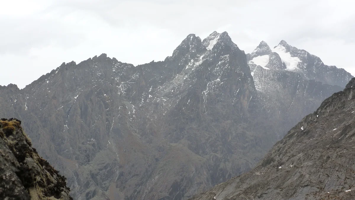

Mount Stanley
Mount Stanley is the third-highest mountain in Africa at 5,109 metres (16,762 ft) and the supreme crown of the Rwenzori Mountains ('Mountains of the Moon'), straddling the international boundary between Uganda and the Democratic Republic of the Congo. Its highest point, Margherita Peak, is a formidable horn of glaciated metamorphic rock, first summitted on June 18, 1906, by Prince Luigi Amedeo, Duke of the Abruzzi, accompanied by master Courmayeur guides Joseph Petigax, César Ollier, and Josef Brocherel.
Documented Expeditions on this Route (1)
Verified historical summits, siege campaigns, and pioneer attempts recorded on Mount Stanley Margherita Glacier Route via Elena Hut.
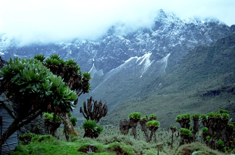
1906 Prince Luigi Amedeo Duke of the Abruzzi and Giuseppe Petigax Rwenzori Mount Stanley First Ascent Expedition
On June 18, 1906, Prince Luigi Amedeo, Duke of the Abruzzi, accompanied by Courmayeur master guides Giuseppe Petigax, César Ollier, and Josef Brocherel, achieved the historic maiden first ascent of Margherita Peak (5,109 m) on Mount Stanley, unlocking the fabled 'Mountains of the Moon' of central Africa.
Archival Chronicles & Stories on this Route (1)
In-depth longform historical narratives, harrowing survival accounts, and firsthand alpine journals on Mount Stanley Margherita Glacier Route via Elena Hut.
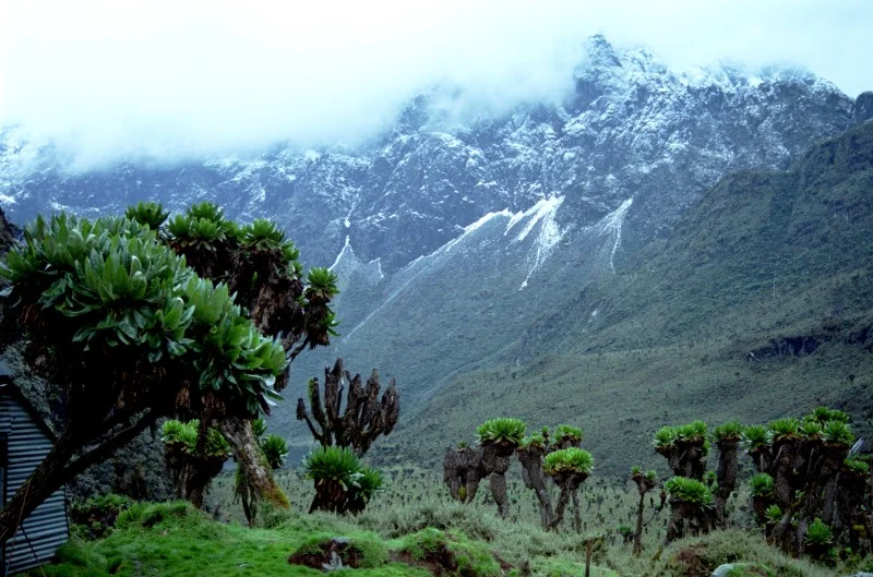
Mountains of the Moon: The Duke of the Abruzzi and the 1906 Ruwenzori Conquest
The Fabled Source of the Nile...
Documented Sources & Archival Citations
- Ruwenzori: An Account of the Expedition of H.R.H. Prince Luigi Amedeo of Savoy(Filippo De Filippi / Archibald Constable & Co.)
Supporting claim: Firsthand technical route log of the 1906 first ascent
Accessed/Documented: 1908