Mount Stanley
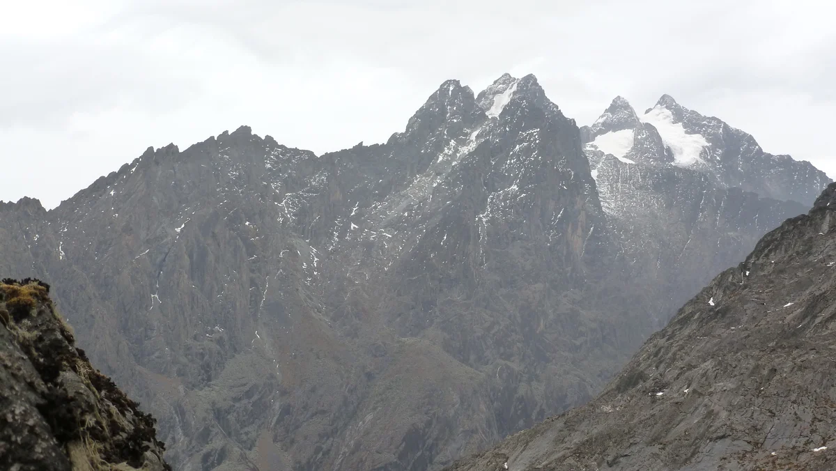
Mount Stanley is the third-highest mountain in Africa at 5,109 metres (16,762 ft) and the supreme crown of the Rwenzori Mountains ('Mountains of the Moon'), straddling the international boundary between Uganda and the Democratic Republic of the Congo.
 Uganda
Mountain Safety & Conditions Disclaimer: High-altitude climbing, glacial travel, and technical ascents entail severe objective risks including avalanches, serac collapses, rapid weather collapse, and altitude illness. Historical route descriptions and summit claims on Mountanity reflect documented archival sources and must not be used as live operational safety assessments. Local regulations, permits, and physical glacial topography change continuously.
Peer Review: Senior Editorial Board & Historical Reviewers • Editorial Standards
Geographical Setting & Topography
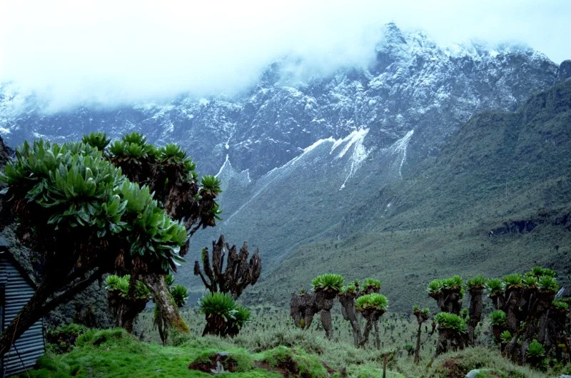
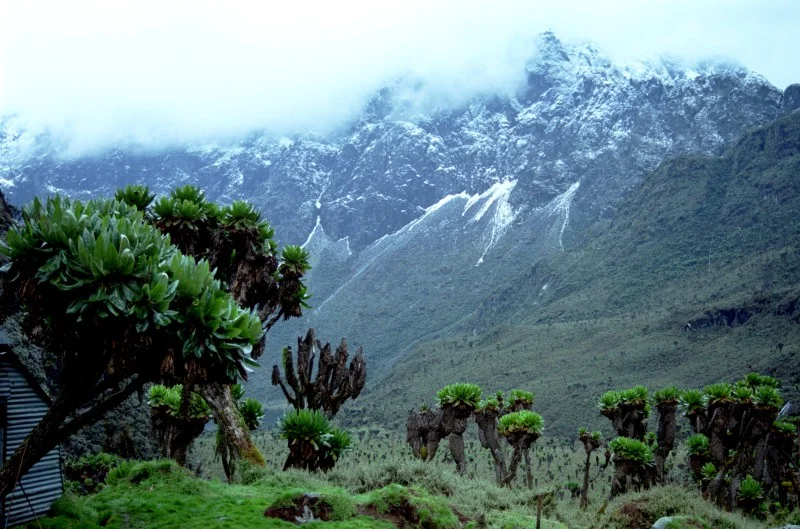
Unlike Kilimanjaro and Mount Kenya, Mount Stanley is not volcanic but an uplifted block of ancient Precambrian crystalline rock. Draped in the equatorial Elena and Stanley Glaciers, it is renowned for perpetual fog, heavy precipitation, and prehistoric moss-draped cloud forests.
Historic First Ascent
Date: 1906-06-18
Ascent Team: Prince Luigi Amedeo Duke of the Abruzzi, Joseph Petigax, César Ollier, Josef Brocherel
Key Statistics & Topographic Figures
- Official Elevation
- 5,109 m (16,762 ft)
- Prominence
- 3,951 m
- First Ascent
- June 18, 1906
- Mountain Range
- Rwenzori Mountains
- Summit Point
- Margherita Peak
Archival Primary Source Quotations
“At last, through a rift in the mists, we saw Margherita Peak shining like a crystal crown above equatorial Africa.”
Defined Alpine Terminology & Concepts
- Equatorial Glaciation
- Permanent glacial ice existing directly on the equator, sustained by high altitude and extreme localized precipitation.
- Giant Groundsels (Dendrosenecio)
- Peculiar prehistoric afro-alpine plants that grow into massive woody trees insulated by dead foliage against sub-zero night frosts.
Mount Stanley Mountain Weather Forecast
Detailed 14-Day Summit Window & Weather Timeline
Explore day-by-day summit push safety windows, wind shear analysis, and extended multi-day forecasts for Mount Stanley.
Explore Mount Stanley (5,109 m) in Interactive 3D
Inspect steep glacial walls, hanging seracs, ridge approaches, and elevation relief with 360° rotation and terrain tilt in WebGL.
Documented Climbing Routes (1)
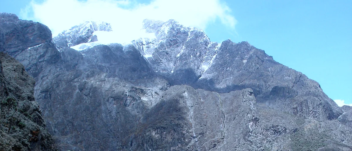
Mount Stanley Margherita Glacier Route via Elena Hut
The standard mountaineering route up Mount Stanley's Margherita Peak (5,109 m), navigating equatorial glaciers, crevassed ice plateaus, and jagged metamorphic rock ridges in the mist-veiled Rwenzori Mountains of Uganda.
Historical Expeditions (1)
1906 Prince Luigi Amedeo Duke of the Abruzzi and Giuseppe Petigax Rwenzori Mount Stanley First Ascent Expedition
On June 18, 1906, Prince Luigi Amedeo, Duke of the Abruzzi, accompanied by Courmayeur master guides Giuseppe Petigax, César Ollier, and Josef Brocherel, achieved the historic maiden first ascent of Margherita Peak (5,109 m) on Mount Stanley, unlocking the fabled 'Mountains of the Moon' of central Africa.
Summit Chronicles & Stories (1)
Mountains of the Moon: The Duke of the Abruzzi and the 1906 Ruwenzori Conquest
The Fabled Source of the Nile...
Frequently Asked Questions: Mount Stanley
What is Mount Stanley and how high is it?
Mount Stanley is the third-highest mountain in Africa at 5,109 metres (16,762 ft), and the highest peak in the Rwenzori Mountains ('Mountains of the Moon').
Who made the first ascent of Mount Stanley's Margherita Peak?
Prince Luigi Amedeo, Duke of the Abruzzi, and Courmayeur guide Giuseppe Petigax achieved the first ascent on June 18, 1906.
Which countries share Mount Stanley?
Mount Stanley sits directly on the international border between western Uganda and the eastern Democratic Republic of the Congo.
Documented Sources & Archival Citations
- Ruwenzori: An Account of the Expedition of H.R.H. Prince Luigi Amedeo of Savoy(Filippo De Filippi / Archibald Constable & Co.)
Supporting claim: Official expedition chronicle of the 1906 maiden ascent of Margherita Peak
Accessed/Documented: 1908