South Ridge & Coxcomb (Original 1936 Route)
The historic maiden first ascent route on Nanda Devi (7,816m), pioneered during the landmark 1936 British-American expedition by Bill Tilman and Noel Odell. Approached through the terrifyingly narrow, sheer chasms of the Rishi Ganga gorge into the virgin meadows of the Nanda Devi Sanctuary, the climb traverses the southern glaciated basin to ascend a razor-sharp rock spine known as the Coxcomb.
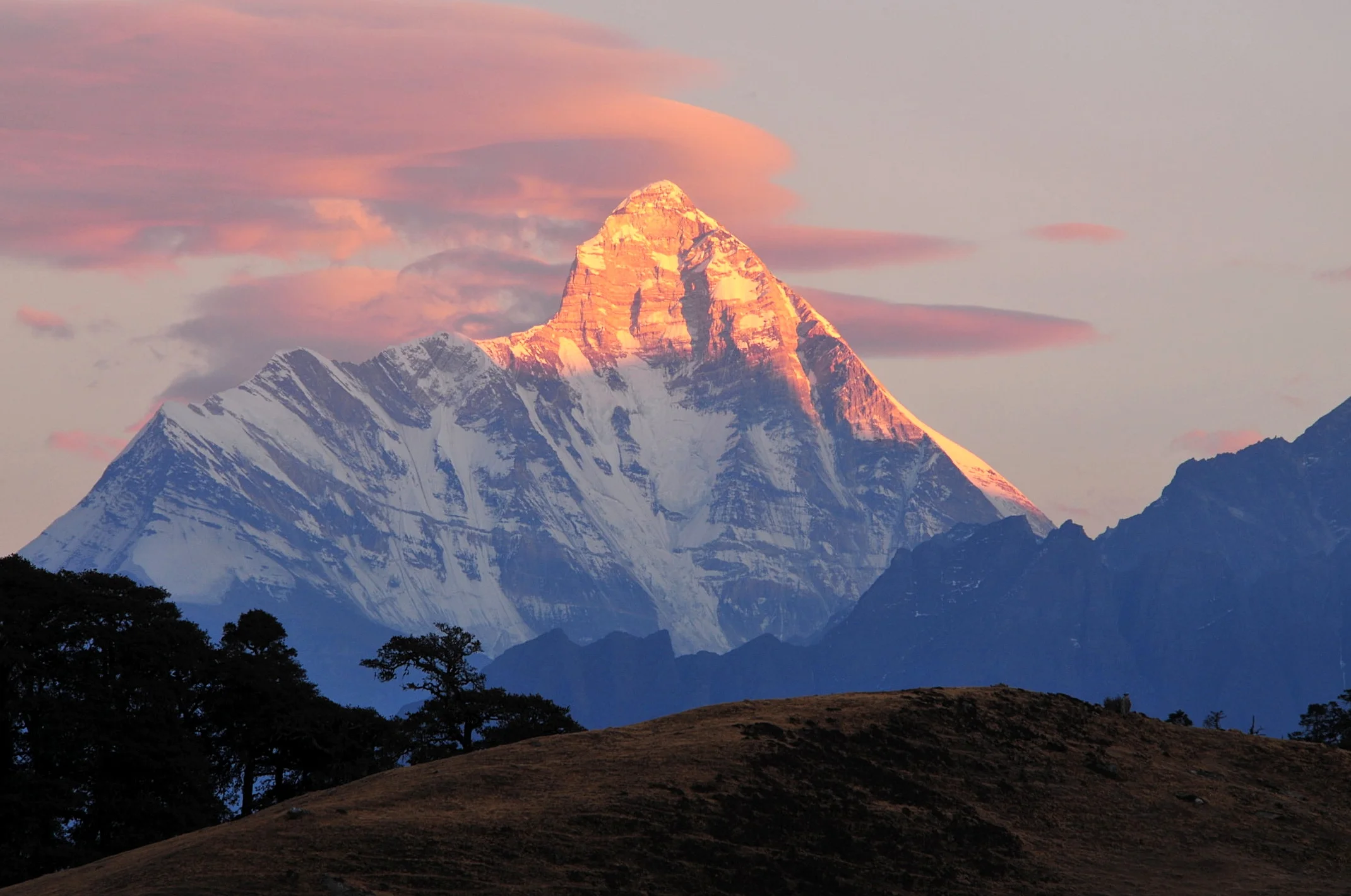
Ascent line, technical cruxes & camp topography profile for South Ridge & Coxcomb (Original 1936 Route)
Mountain Safety & Conditions Disclaimer: High-altitude climbing, glacial travel, and technical ascents entail severe objective risks including avalanches, serac collapses, rapid weather collapse, and altitude illness. Historical route descriptions and summit claims on Mountanity reflect documented archival sources and must not be used as live operational safety assessments. Local regulations, permits, and physical glacial topography change continuously.
Peer Review: Senior Editorial Board & Historical Reviewers • Editorial Standards
Tactical & Camp Notes
Access requires crossing the sheer rock slabs of the Upper Rishi Ganga Gorge, where a fall leads to certain death in the river torrent below. The entire Sanctuary basin has been closed to all mountaineering and human activity since 1982 to protect its fragile biosphere.
Identified Objective Hazards
- •Extreme wilderness isolation with no possibility of outside rescue or evacuation
- •Perilous approach through the near-vertical cliffs and chasms of the Rishi Ganga Gorge
- •Severe objective danger from hanging ice seracs and frequent monsoon blizzards
- •High-altitude exhaustion and severe cold on the open, wind-scoured Coxcomb arête
Historical Context
Pioneered during the 1936 British-American expedition, making Nanda Devi the highest mountain climbed on Earth from 1936 until 1950 (when Annapurna was ascended).
Interactive Elevation Profile
Vertical profile, technical cruxes, and camp staging progression for South Ridge & Coxcomb (Original 1936 Route) on Nanda Devi.
Established on grassy meadows along the southern lateral moraine of the South Nanda Devi Glacier inside the Sanctuary.
Camp-by-Camp Topography
Key staging altitudes, technical cruxes, and terrain transitions for South Ridge & Coxcomb (Original 1936 Route).
Sanctuary Base Camp
Established on grassy meadows along the southern lateral moraine of the South Nanda Devi Glacier inside the Sanctuary.
Camp I
Located on a sheltered scree and snow terrace on the lower southern buttress above the icefall.
Camp II
Pitched on a tiny flattened snow platform beneath the precipitous lower rock wall.
Camp III
Positioned just below the base of the prominent rock buttress known as the Coxcomb.
Camp IV
A precarious bivouac site hacked into hard blue ice on the upper crest of the Coxcomb ridge.
Camp V (High Assault Camp)
Perched on a narrow, sloping snow terrace directly beneath the summit pyramid, from which Tilman and Odell launched their push.
Summit
A graceful, twin-crested snow plateau with vertical drops falling thousands of feet into the outer Sanctuary valleys.
Topographic Location & Terrain Map
Cartographic datum, massif coordinates, and terrain context for South Ridge & Coxcomb (Original 1936 Route) on Nanda Devi.
Interactive Topographic Terrain Map
Click below to load live cartographic contours, glacier approaches, and geographic markers for Nanda Devi (30°22′33″ N, 79°58′14″ E).
Key Statistics & Topographic Figures
- Route Type
- Historic Ridge & Sanctuary Alpine Traverse
Topography
- Technical Difficulty
- Extremely Demanding / Grade IV+, Total Wilderness Isolation
UIAA IV rock, 45°–55° hard ice, razor-edge corniced granite ridges
- Country / Region
- India (Garhwal Himalayas / Uttarakhand)
Location
Archival Primary Source Quotations
“A mountain route is not merely a path of rock and ice; it is a test of human endurance, judgment, and humility.”
Defined Alpine Terminology & Concepts
- Crux
- The most difficult and technically demanding pitch or section of a climbing route.
- Normal Route (Voie Normale)
- The most frequently climbed, least technical, and historically standard path to a mountain summit.
Frequently Asked Questions: South Ridge & Coxcomb (Original 1936 Route)
What is the climbing difficulty and grade of South Ridge & Coxcomb (Original 1936 Route)?
South Ridge & Coxcomb (Original 1936 Route) on nanda-devi is graded as Extremely Demanding / Grade IV+, Total Wilderness Isolation, with technical climbing requirements including UIAA IV rock, 45°–55° hard ice, razor-edge corniced granite ridges.
What are the primary hazards on the South Ridge & Coxcomb (Original 1936 Route)?
Climbers on South Ridge & Coxcomb (Original 1936 Route) must navigate severe objective hazards including Extreme wilderness isolation with no possibility of outside rescue or evacuation, Perilous approach through the near-vertical cliffs and chasms of the Rishi Ganga Gorge, Severe objective danger from hanging ice seracs and frequent monsoon blizzards, High-altitude exhaustion and severe cold on the open, wind-scoured Coxcomb arête.
What camps are established on South Ridge & Coxcomb (Original 1936 Route)?
South Ridge & Coxcomb (Original 1936 Route) typically features 7 staging camps, progressing from Sanctuary Base Camp (4300m) up toward the summit.
Mountain Ascended
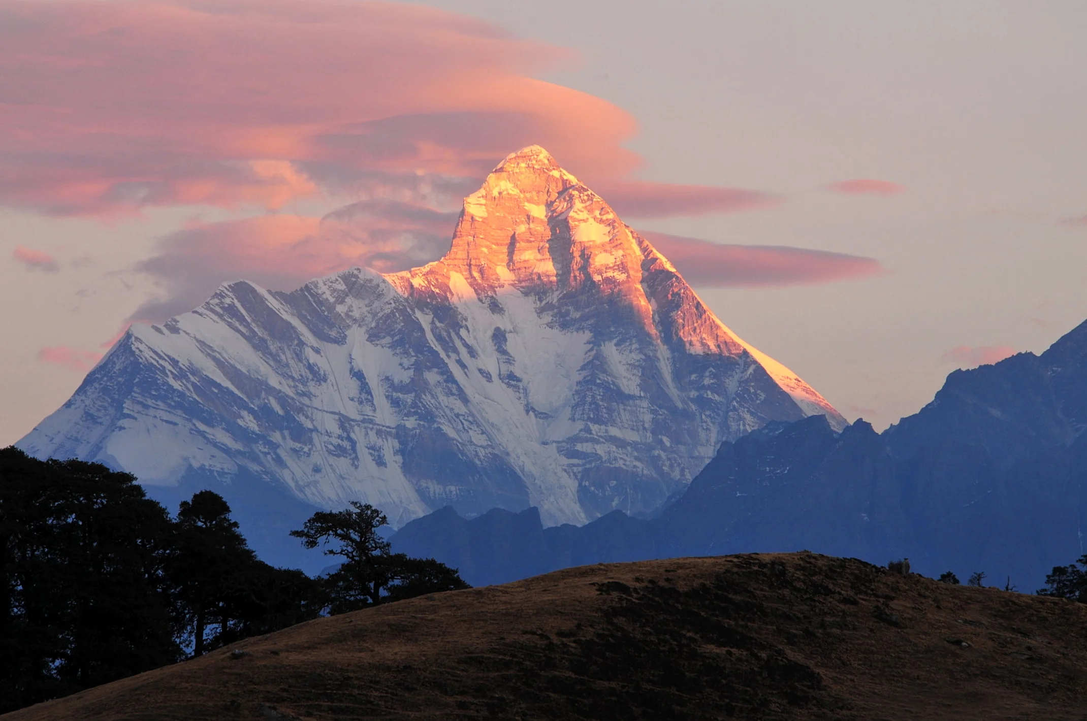

Nanda Devi
Nanda Devi, standing at 7,816 meters (25,643 ft), is the second-highest mountain in India and the highest peak situated entirely within Indian territory. Revered as a sacred manifestation of the patron goddess of Uttarakhand, the mountain rises within a formidable natural fortress—the Nanda Devi Sanctuary—ringed by seventy miles of razor-sharp peaks exceeding 6,000 meters. Its historic first ascent on August 29, 1936, by Bill Tilman and Noel Odell remained the highest summit ever achieved by human beings until the conquest of Annapurna in 1950.
Documented Expeditions on this Route (1)
Verified historical summits, siege campaigns, and pioneer attempts recorded on South Ridge & Coxcomb (Original 1936 Route).
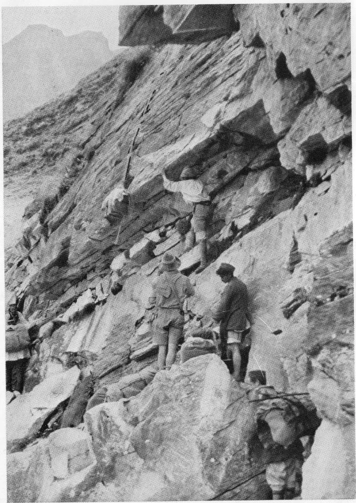
1936 British-American Himalayan Expedition to Nanda Devi
The landmark 1936 joint British-American expedition that achieved the maiden first ascent of Nanda Devi (7,816m) on August 29, 1936, by Bill Tilman and Noel Odell without supplemental oxygen, setting an absolute altitude record on an ascended peak that stood for fourteen years.
Archival Chronicles & Stories on this Route (1)
In-depth longform historical narratives, harrowing survival accounts, and firsthand alpine journals on South Ridge & Coxcomb (Original 1936 Route).
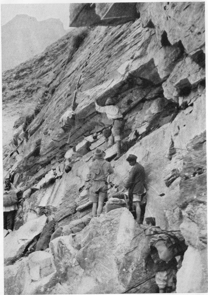
Nanda Devi 1936: Tilman, Odell, and the Conquest of the Blessed Goddess
On August 29, 1936, Bill Tilman and Noel Odell reached the 7,816-meter summit of Nanda Devi without bottled oxygen, conquering the highest mountain scaled on Earth until 1950.
Documented Sources & Archival Citations
- The Ascent of Nanda Devi(H.W. Tilman / Cambridge University Press)
Supporting claim: Official expedition record detailing camp elevations, the Coxcomb ridge, and the summit climb
Accessed/Documented: 1937 - Nanda Devi: Exploration and Sanctuary(Eric Shipton / Hodder & Stoughton)
Supporting claim: Topographical surveys of the Rishi Ganga breach and route to the base of the mountain
Accessed/Documented: 1936