Peak Pobeda North Ridge & Abalakov Route
The North Ridge Abalakov Route on Jengish Chokusu / Peak Pobeda (7,439 m) is universally regarded as one of the most brutal and hazardous mountaineering endeavors on the planet. Originating from the Zvyozdochka Glacier, the route ascends the shattered icefalls of the North Ridge to gain the infamous Western Shoulder at 6,918 metres.
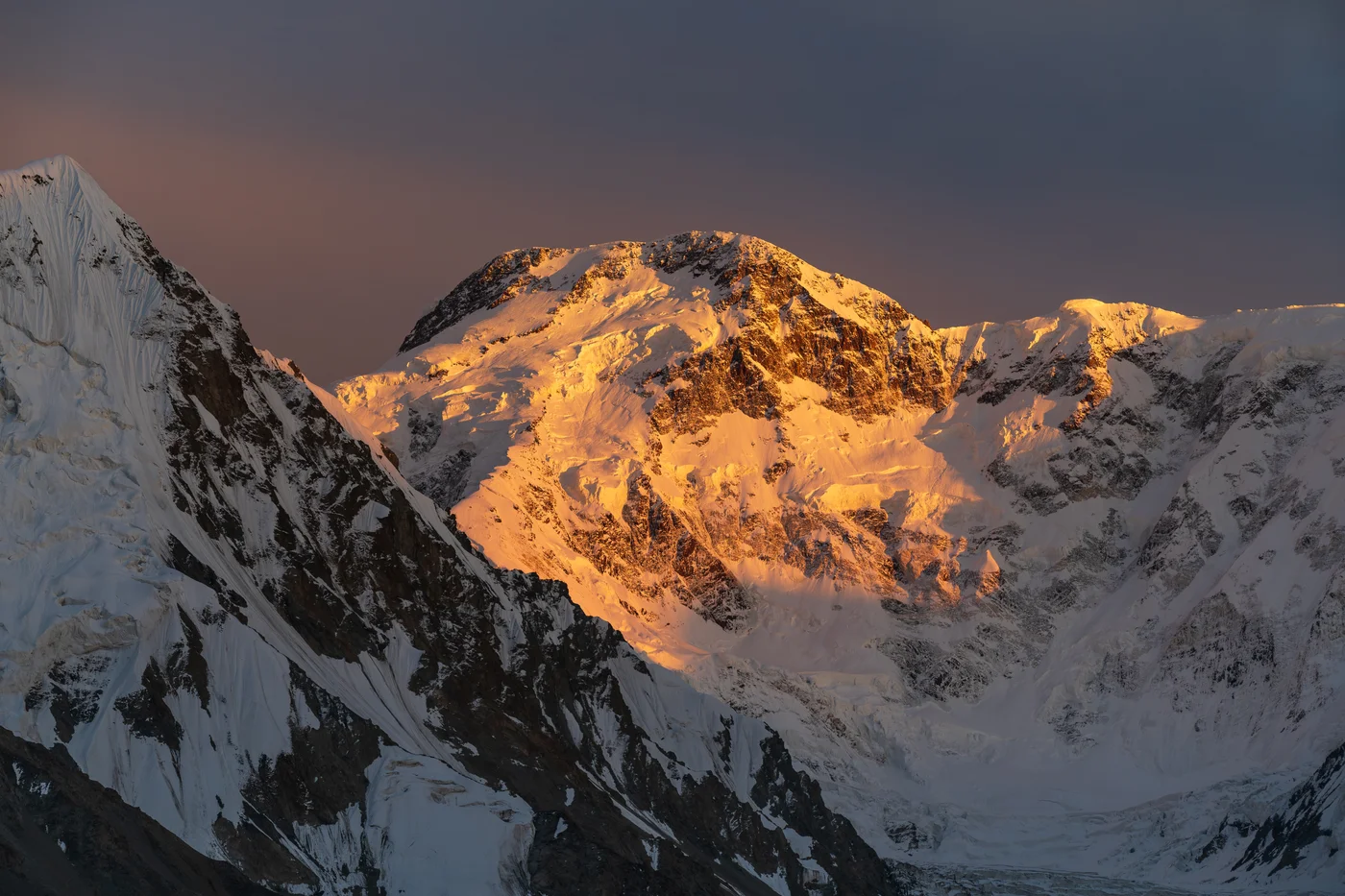
Ascent line, technical cruxes & camp topography profile for Peak Pobeda North Ridge & Abalakov Route
Mountain Safety & Conditions Disclaimer: High-altitude climbing, glacial travel, and technical ascents entail severe objective risks including avalanches, serac collapses, rapid weather collapse, and altitude illness. Historical route descriptions and summit claims on Mountanity reflect documented archival sources and must not be used as live operational safety assessments. Local regulations, permits, and physical glacial topography change continuously.
Peer Review: Senior Editorial Board & Historical Reviewers • Editorial Standards
Tactical & Camp Notes
Only elite, deeply experienced high-altitude alpinists should attempt Peak Pobeda; it has one of the highest fatality-to-summit ratios in mountaineering history.
Identified Objective Hazards
- •Extreme Siberian cold dropping to -40°C combined with hurricane-force jet-stream gales
- •Massive avalanche danger from hanging seracs along the entire North Face
- •Prolonged exposure above 7,000 metres causing rapid physical deterioration and hypothermia
- •Unforgiving multi-day ridge traverse with no escape routes during sudden storms
Interactive Elevation Profile
Vertical profile, technical cruxes, and camp staging progression for Peak Pobeda North Ridge & Abalakov Route on Jengish Chokusu / Peak Pobeda.
Remote moraine camp situated below the colossal north wall of Pobeda, tributary of South Inylchek.
Camp-by-Camp Topography
Key staging altitudes, technical cruxes, and terrain transitions for Peak Pobeda North Ridge & Abalakov Route.
Zvyozdochka Glacier Base Camp
Remote moraine camp situated below the colossal north wall of Pobeda, tributary of South Inylchek.
Camp 1 (Icefall Foot)
Snow camp located on the lower slopes beneath the initial avalanche chutes.
Camp 2 (North Ridge Spur)
Tent platforms dug into hard ice on the steep northern spur.
Camp 3 (Western Shoulder Snow Cave)
Essential snow cave shelter carved into the ice of the Western Shoulder to withstand hurricane-force gales.
Camp 4 (Summit Ridge Bivouac)
High-altitude snow cave on the long horizontal ridge leading to the summit bastion.
Peak Pobeda Summit
The elongated, icy summit ridge marking the highest point in the entire Tien Shan and Central Asia.
Topographic Location & Terrain Map
Cartographic datum, massif coordinates, and terrain context for Peak Pobeda North Ridge & Abalakov Route on Jengish Chokusu / Peak Pobeda.
Interactive Topographic Terrain Map
Click below to load live cartographic contours, glacier approaches, and geographic markers for Jengish Chokusu / Peak Pobeda (42°02′05″ N, 80°07′47″ E).
Key Statistics & Topographic Figures
- Route Type
- Extreme High-Altitude Ridge Traverse & Ice Barrier
Topography
- Technical Difficulty
- Extremely Technical & Lethal / Russian Grade 5B / Alpine Grade V
Russian Grade 5B / Alpine Grade V, sustained traverse above 7,000m, extreme cold, complex ice and rock bands
- Country / Region
- Kyrgyzstan / China (Kokshaal-Too Range, Central Tien Shan)
Location
Archival Primary Source Quotations
“A mountain route is not merely a path of rock and ice; it is a test of human endurance, judgment, and humility.”
Defined Alpine Terminology & Concepts
- Crux
- The most difficult and technically demanding pitch or section of a climbing route.
- Normal Route (Voie Normale)
- The most frequently climbed, least technical, and historically standard path to a mountain summit.
Frequently Asked Questions: Peak Pobeda North Ridge & Abalakov Route
What is the climbing difficulty and grade of Peak Pobeda North Ridge & Abalakov Route?
Peak Pobeda North Ridge & Abalakov Route on peak-pobeda is graded as Extremely Technical & Lethal / Russian Grade 5B / Alpine Grade V, with technical climbing requirements including Russian Grade 5B / Alpine Grade V, sustained traverse above 7,000m, extreme cold, complex ice and rock bands.
What are the primary hazards on the Peak Pobeda North Ridge & Abalakov Route?
Climbers on Peak Pobeda North Ridge & Abalakov Route must navigate severe objective hazards including Extreme Siberian cold dropping to -40°C combined with hurricane-force jet-stream gales, Massive avalanche danger from hanging seracs along the entire North Face, Prolonged exposure above 7,000 metres causing rapid physical deterioration and hypothermia, Unforgiving multi-day ridge traverse with no escape routes during sudden storms.
What camps are established on Peak Pobeda North Ridge & Abalakov Route?
Peak Pobeda North Ridge & Abalakov Route typically features 6 staging camps, progressing from Zvyozdochka Glacier Base Camp (4050m) up toward the summit.
Mountain Ascended
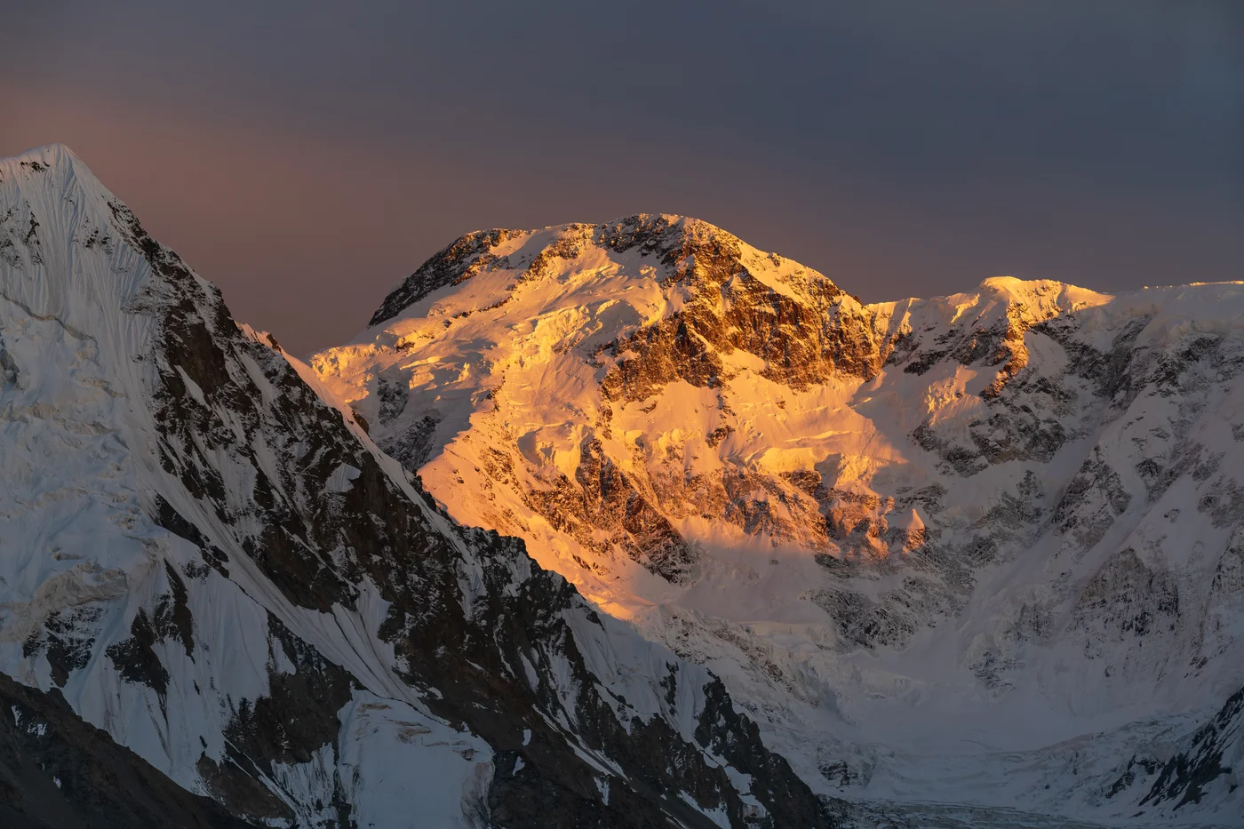

Jengish Chokusu / Peak Pobeda
Jengish Chokusu, historically renowned across the mountaineering world as Peak Pobeda ('Victory Peak'), is the supreme summit of the Tien Shan cordillera at 7,439 metres (24,406 ft) and the northernmost 7,000-metre peak on Earth. Rising along the formidable Kokshaal-Too range on the Kyrgyzstan-China border, Pobeda is notorious for catastrophic Arctic-like blizzards, sub-zero jet-stream gales, and massive hanging seracs that have claimed dozens of lives. The mountain was first conquered on August 30, 1956, by a legendary Soviet expedition led by Vitaly Abalakov via the harrowing North Ridge from the Zvyozdochka Glacier, marking one of the greatest high-altitude triumphs in Russian alpine history.
Documented Expeditions on this Route (1)
Verified historical summits, siege campaigns, and pioneer attempts recorded on Peak Pobeda North Ridge & Abalakov Route.
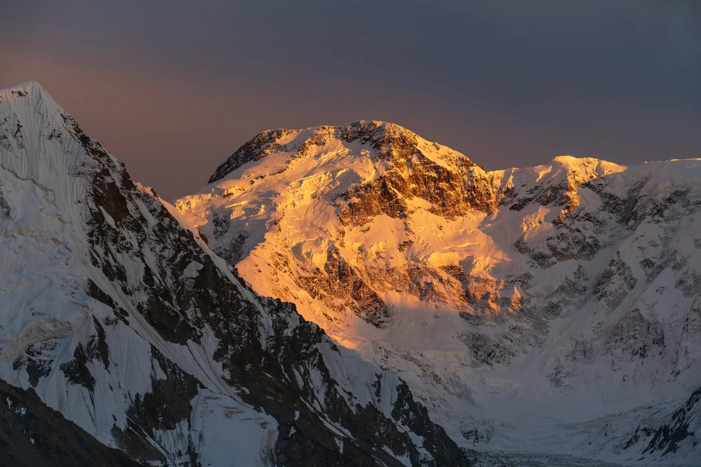
1956 Vitaly Abalakov Spartak Team Maiden First Ascent of Peak Pobeda
On August 30, 1956, a courageous 11-man Soviet Spartak expedition led by 50-year-old Vitaly Abalakov achieved the historic first ascent of Jengish Chokusu / Peak Pobeda (7,439 m), conquering the most lethal and northernmost 7,000-metre mountain on Earth via the treacherous North Ridge.
Archival Chronicles & Stories on this Route (1)
In-depth longform historical narratives, harrowing survival accounts, and firsthand alpine journals on Peak Pobeda North Ridge & Abalakov Route.
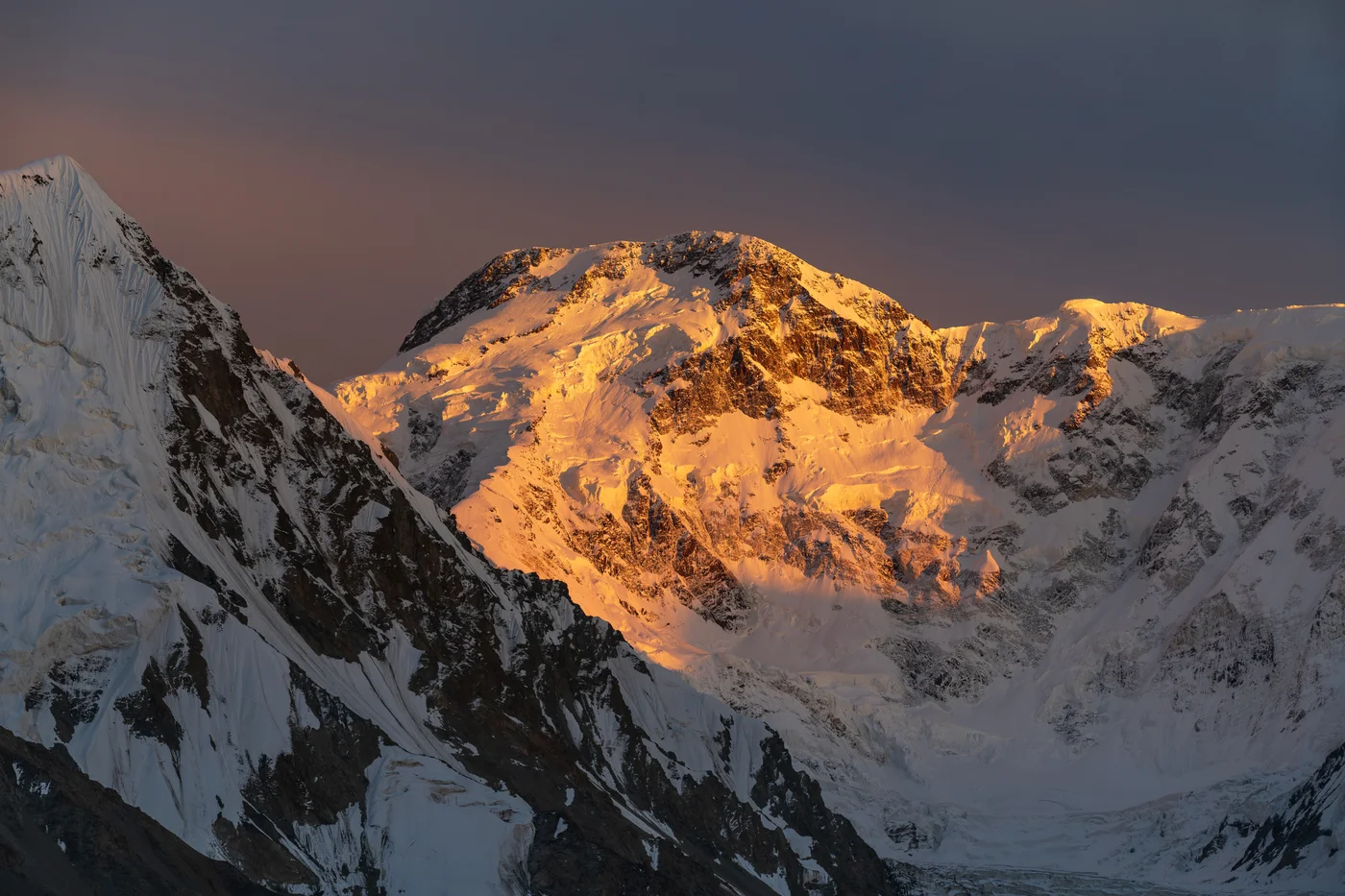
Triumph on the Victory Ridge: Vitaly Abalakov's 1956 Conquest of Peak Pobeda
At age 50, climbing with amputated toes and fingers, Vitaly Abalakov leads an 11-man team to conquer Peak Pobeda (7,439 m), the deadliest peak in the Tien Shan.
Documented Sources & Archival Citations
- Mountains of the Soviet Union: Peak Pobeda(Soviet Federation of Mountaineering)
Supporting claim: Technical survey of the North Ridge ascent and safety parameters
Accessed/Documented: 1958