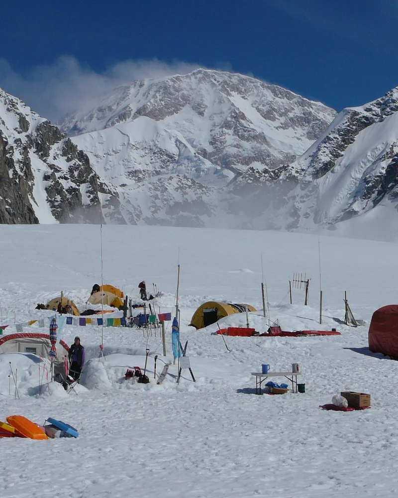
Bradford Washburn
Bradford Washburn was an iconic American mountaineer, cartographer, and pioneering aerial photographer. He revolutionized high-latitude exploration by establishing the classic West Buttress route on Denali in 1951. Washburn produced the world's most precise topographical maps of Denali, Mount Everest, and the Grand Canyon, earning international acclaim as the dean of American alpine science.
Mountain Safety & Conditions Disclaimer: High-altitude climbing, glacial travel, and technical ascents entail severe objective risks including avalanches, serac collapses, rapid weather collapse, and altitude illness. Historical route descriptions and summit claims on Mountanity reflect documented archival sources and must not be used as live operational safety assessments. Local regulations, permits, and physical glacial topography change continuously.
Peer Review: Senior Editorial Board & Historical Reviewers • Editorial Standards
Biographical Record & Archival Chronicle
Born on June 7, 1910, in Cambridge, Massachusetts, Bradford Washburn began climbing in the White Mountains of New Hampshire and the Alps during his teenage years, completing ascents of the Matterhorn and Mont Blanc. Earning degrees from Harvard University, Washburn pioneered the use of large-format aerial photography for high-mountain mapping, capturing breathtaking black-and-white vistas of Alaskan glaciated peaks while hanging out the open doors of airplanes in sub-zero winds. In 1937, Washburn completed the heroic first ascent of Mount Lucania (5,226 m) in the Yukon with Robert Bates, surviving an epic 150-mile wilderness trek after being abandoned by their bush pilot. Over four decades, Washburn led numerous expeditions into the Alaska Range. In 1951, collaborating with bush pilot Don Sheldon, Washburn pioneered the use of ski-equipped airplanes to land on the Kahiltna Glacier, establishing the West Buttress route on Denali alongside his wife Barbara Washburn and fellow climbers. This masterstroke avoided the perilous Muldrow Glacier approach and became the classic global standard route on the mountain. Serving as director of the Boston Museum of Science for over four decades, Washburn produced peerless topographical maps of the Grand Canyon, Denali, and Mount Everest, using laser theodolites and satellite geodesy. Washburn passed away in January 2007, remembered as one of the most prolific and visionary figures in twentieth-century mountaineering and cartography.
Notable Milestones & Ascents
- Pioneered the classic West Buttress route on Denali (6,190 m) in June–July 1951
- First ascent of Mount Lucania (5,226 m) in 1937 with Robert Bates, surviving a legendary 150-mile wilderness escape
- Produced the definitive 1:50,000 topographical map of Denali and the monumental Boston Museum of Science map of Mount Everest
- Director of the Boston Museum of Science from 1939 to 1980, transforming it into a world-class educational institution
- Awarded the Centennial Medal of the National Geographic Society and the King Albert I Mountain Award
Key Statistics & Topographic Figures
- Key Route Pioneered
- West Buttress of Denali (1951)
- Lucania First Ascent
- Mount Lucania (5,226 m, 1937)
- Museum Leadership
- Director, Boston Museum of Science (1939–1980)
- Lifespan
- 1910 – 2007
- Major Honors
- National Geographic Centennial Award, King Albert I Medal
Archival Primary Source Quotations
“Mountains are not conquered; they permit us to enter their world for a brief moment of breathtaking beauty.”
Defined Alpine Terminology & Concepts
- High-Altitude Photogrammetry
- The science of creating accurate topographic maps from high-resolution, overlapping aerial photographs taken from aircraft.
- Theodolite
- A precision optical surveying instrument used to measure horizontal and vertical angles in high-mountain triangulation.
Frequently Asked Questions: Bradford Washburn
Who was Bradford Washburn?
Bradford Washburn was an iconic American mountaineer, cartographer, and aerial photographer who pioneered the classic West Buttress route on Denali in 1951.
What was Bradford Washburn's major cartographic contribution to Denali?
He created the definitive 1:50,000 topographical map of Denali using thousands of large-format aerial photographs and ground theodolite surveys.
How did Bradford Washburn revolutionize access to Denali?
He partnered with bush pilot Don Sheldon to land ski-equipped aircraft directly onto the Kahiltna Glacier, eliminating weeks of grueling overland approach.
What historic first ascent did Washburn achieve in the Yukon in 1937?
He made the first ascent of Mount Lucania (5,226 m) with Robert Bates, surviving an epic 150-mile wilderness walkout after their pilot was stranded.
What institution did Bradford Washburn direct for four decades?
He served as director of the Boston Museum of Science from 1939 to 1980, transforming it into a world-leading science education center.
Did Bradford Washburn map mountains outside Alaska?
Yes, he produced world-renowned, ultra-precise maps of the Grand Canyon and Mount Everest for the National Geographic Society.
Who was Bradford Washburn's lifelong climbing and surveying partner?
His wife, Barbara Washburn, who accompanied him on numerous exploratory climbs and became the first woman to summit Denali in 1947.
What feature on Denali is named in Bradford Washburn's honor?
The Washburn Thumb, a prominent granite gendarme along the knife-edge crest of the West Buttress at 16,600 feet.
Associated Summits (1)
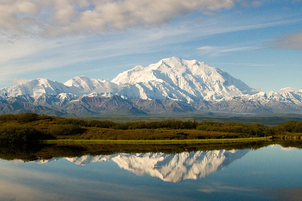

Denali
Denali is the highest mountain peak in North America, soaring to an elevation of 6,190 metres in south-central Alaska. Ranked third among the world's most topographically prominent summits, it possesses greater vertical base-to-peak relief than Mount Everest, rising over 5,500 vertical metres above the surrounding glacial plains amidst severe Arctic storms and extreme sub-zero temperatures.
Pioneered & Associated Routes (2)
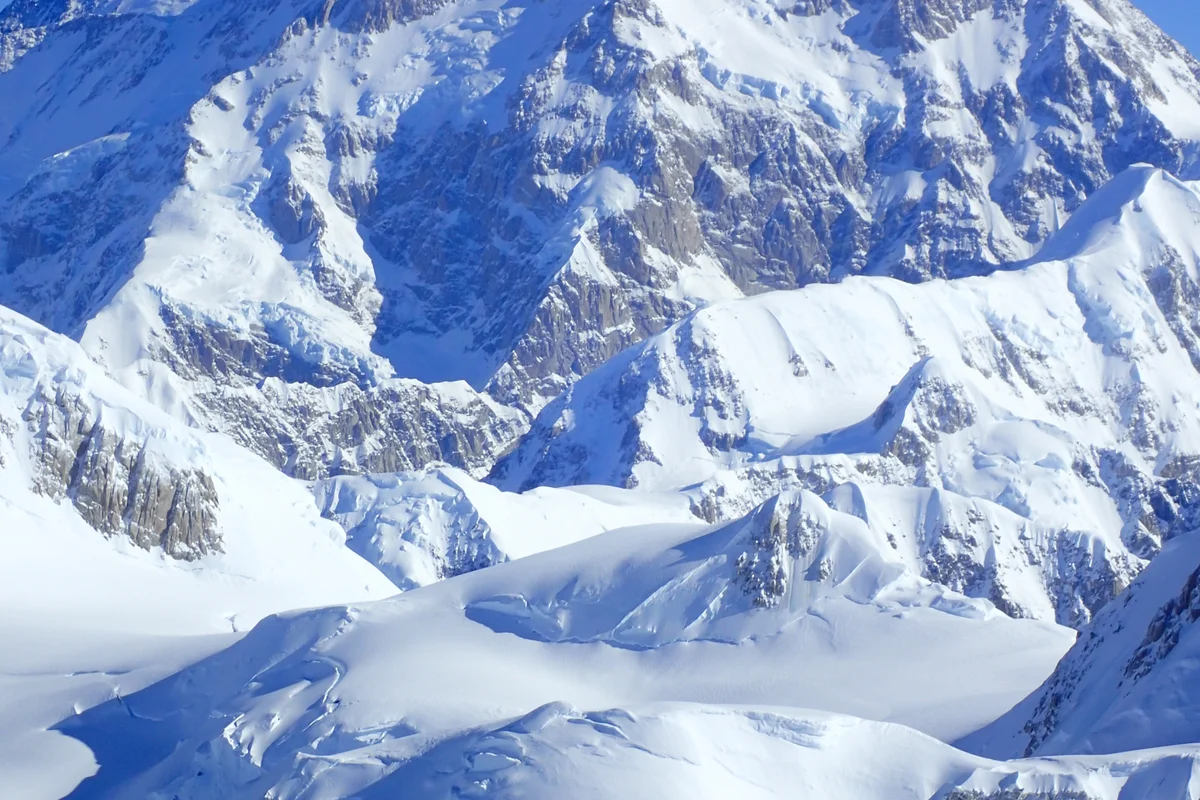
Cassin Ridge (Denali)
The Cassin Ridge is the undisputed crown jewel of North American alpine mountaineering, rising 2,500 vertical metres up the center of Denali's colossal South Face. First climbed in July 1961 by Riccardo Cassin and the Ragni di Lecco team, it demands sustained technical rock climbing up to 5.8, steep alpine ice up to AI4, razor-sharp snow arêtes, and relentless commitment in severe Arctic conditions.
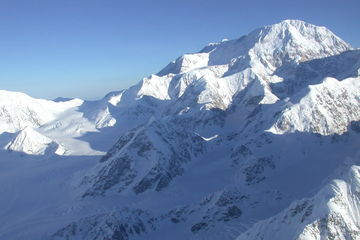
West Buttress (Denali)
The West Buttress is the premier classic mountaineering route on Denali, ascending 4,000 vertical metres from the Kahiltna Glacier to the highest point in North America at 6,190 metres. Pioneered in 1951 by Bradford Washburn, Barbara Washburn, and their team, it negotiates massive crevasse systems, the steep fixed-line ice of the Headwall, and the knife-edge granite crest above 16,000 feet amidst severe Arctic gales.
Documented Expeditions (1)
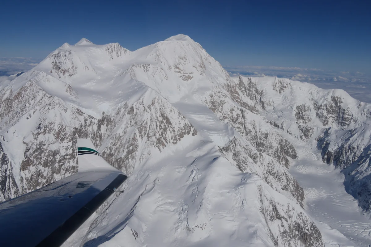
1951 Pioneering of Denali's West Buttress by Bradford and Barbara Washburn
In June–July 1951, Bradford and Barbara Washburn led a joint scientific expedition that revolutionized Alaskan mountaineering by landing on the Kahiltna Glacier and pioneering the West Buttress route to Denali's 6,190-metre summit.
Associated Chronicles & Stories (1)
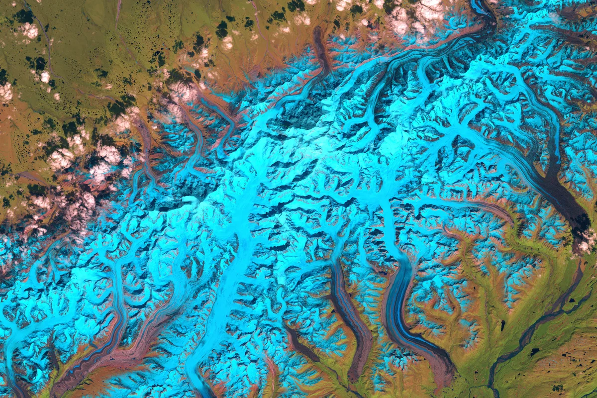
The Arctic Highway: Bradford and Barbara Washburn's West Buttress Revolution on Denali
In June 1951, Bradford and Barbara Washburn revolutionized high-altitude exploration by landing on the Kahiltna Glacier with bush pilot Don Sheldon and pioneering Denali's classic West Buttress route.
Documented Sources & Archival Citations
- Mount McKinley: The Conquest of Denali(Bradford Washburn and David Roberts / Harry N. Abrams)
Supporting claim: Comprehensive autobiographical history of Washburn's Denali expeditions
Accessed/Documented: 2026 - Escape from Lucania: An Epic Story of Survival(David Roberts / The Mountaineers Books)
Supporting claim: Account of the 1937 first ascent and survival march from Mount Lucania
Accessed/Documented: 2026