Cerro San Lorenzo
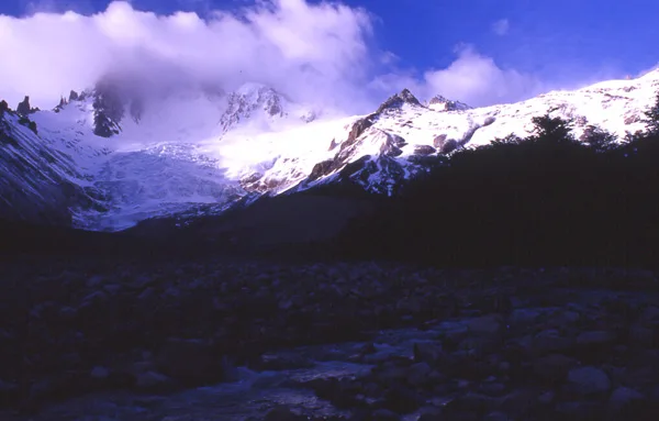
Cerro San Lorenzo, also known as Monte San Lorenzo or Mount Cochrane at 3,706 metres (12,159 ft), is the second highest peak in Patagonia, straddling the border between Chile and Argentina. Towering above the Patagonian steppes with a massive topographic prominence of 3,319 metres, it is an isolated giant surrounded by four heavily crevassed glaciers.

Mountain Safety & Conditions Disclaimer: High-altitude climbing, glacial travel, and technical ascents entail severe objective risks including avalanches, serac collapses, rapid weather collapse, and altitude illness. Historical route descriptions and summit claims on Mountanity reflect documented archival sources and must not be used as live operational safety assessments. Local regulations, permits, and physical glacial topography change continuously.
Peer Review: Senior Editorial Board & Historical Reviewers • Editorial Standards
Geographical Setting & Topography
Situated in the central Patagonian Andes between Cochrane, Chile and Lago Posadas, Argentina, rising dramatically east of the Northern Patagonian Icefield.
Historic First Ascent
Date: 1943-12-17
Ascent Team: Father Alberto María De Agostini, Alejandro Hemmi, and Heriberto Schmoll
Key Statistics & Topographic Figures
- Elevation
- 3,706 m (12,159 ft) — 2nd Highest in Patagonia
- Topographic Prominence
- 3,319 metres (Ultra-Prominent Peak)
- First Ascent Date
- December 17, 1943 (Father De Agostini team)
- Countries
- Chile (Aysén) and Argentina (Santa Cruz)
- Major Glaciers
- 4 massive glaciers encircling the massif
Archival Primary Source Quotations
“San Lorenzo greeted us with the roar of its winds and the splendor of its untrodden snows; it was the crowning jewel of my life in Patagonia.”
Defined Alpine Terminology & Concepts
- Monte Cochrane
- The alternative Chilean name for Cerro San Lorenzo, honoring Admiral Thomas Cochrane who commanded the Chilean Navy in the War of Independence.
- Glaciar Tranquilo
- The glaciated valley system on the eastern flank of San Lorenzo that served as De Agostini's 1943 approach route.
Cerro San Lorenzo Mountain Weather Forecast
Detailed 14-Day Summit Window & Weather Timeline
Explore day-by-day summit push safety windows, wind shear analysis, and extended multi-day forecasts for Cerro San Lorenzo.
Explore Cerro San Lorenzo (3,706 m) in Interactive 3D
Inspect steep glacial walls, hanging seracs, ridge approaches, and elevation relief with 360° rotation and terrain tilt in WebGL.
Historical Expeditions (1)
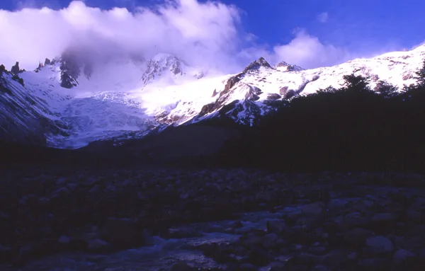
1943 Father De Agostini First Ascent of Cerro San Lorenzo
On December 17, 1943, sixty-year-old Salesian missionary Father Alberto María De Agostini led guides Alejandro Hemmi and Heriberto Schmoll to make the first ascent of Cerro San Lorenzo, overcoming ferocious Patagonian gales and giant crevasses.
Summit Chronicles & Stories (1)
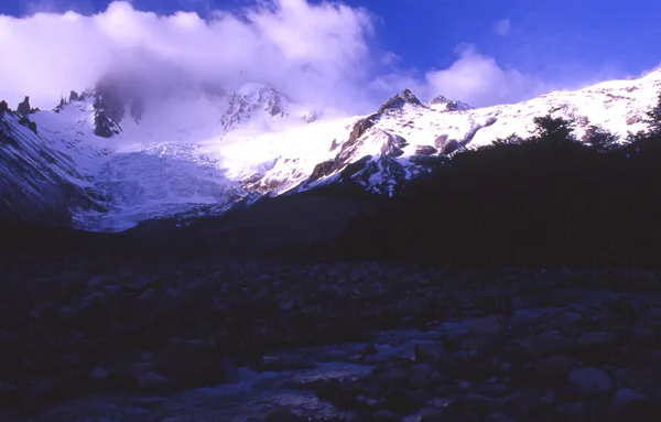
The Missionary's Fortress: Father Alberto De Agostini's 1943 Conquest of Cerro San Lorenzo
In December 1943, sixty-year-old Salesian missionary Father Alberto María De Agostini led guides Alejandro Hemmi and Heriberto Schmoll to achieve the historic first ascent of Cerro San Lorenzo (3,706 m), Patagonia's second highest peak.
Frequently Asked Questions: Cerro San Lorenzo
What is Cerro San Lorenzo and what is its elevation?
Cerro San Lorenzo (also known as Mount Cochrane) is the second highest peak in Patagonia, rising to 3,706 metres (12,159 ft) on the border of Chile and Argentina.
Who made the first ascent of Cerro San Lorenzo?
Father Alberto María De Agostini with alpine guides Alejandro Hemmi and Heriberto Schmoll made the first ascent on December 17, 1943.
What is the topographic prominence of Cerro San Lorenzo?
Cerro San Lorenzo has a topographic prominence of 3,319 metres, making it an isolated ultra-prominent Andean fortress.
Where is Cerro San Lorenzo located?
Between Cochrane in Chile's Aysén Region and Lago Posadas in Argentina's Santa Cruz Province, east of the Northern Icefield.
How many glaciers drape Cerro San Lorenzo?
Four major glacier systems descend from its summit pyramid: Glaciar San Lorenzo Sur, Glaciar San Lorenzo Norte, Glaciar Tranquilo, and Glaciar Oro.
How old was Father De Agostini when he climbed San Lorenzo?
De Agostini was sixty years old when he stood atop Cerro San Lorenzo in December 1943.
What route did the 1943 team use to reach the summit?
They climbed the heavily crevassed southern glacier and steep rime ice slopes above the Rio Tranquilo.
What modern technical routes have been climbed on San Lorenzo?
The East Ridge and the demanding 1,200-metre North Face, climbed by Italian and South American teams.
Documented Sources & Archival Citations
- Andes Patagónicos: Viaggi d'esplorazione(Alberto María De Agostini / Viglongo)
Supporting claim: Father De Agostini's firsthand narrative of the historic 1943 conquest of Mount San Lorenzo
Accessed/Documented: 1949 - American Alpine Journal: Ascents in the San Lorenzo Massif(American Alpine Club)
Supporting claim: Topographic and historical documentation of Patagonian ascents on San Lorenzo
Accessed/Documented: 2026