Gerlachovský Štít
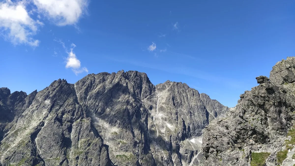
Gerlachovský Štít (2,654 m / 8,707 ft) is the highest peak in the High Tatras, in Slovakia, and across the entire 1,500-kilometre Carpathian mountain system. A fortress of dark granodiorite sculpted by Pleistocene glaciers, its dramatic couloirs and severe northern walls served as the foundational alpine training ground for Central Europe's mountaineers.
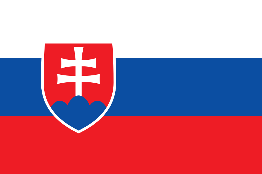 Slovakia
Mountain Safety & Conditions Disclaimer: High-altitude climbing, glacial travel, and technical ascents entail severe objective risks including avalanches, serac collapses, rapid weather collapse, and altitude illness. Historical route descriptions and summit claims on Mountanity reflect documented archival sources and must not be used as live operational safety assessments. Local regulations, permits, and physical glacial topography change continuously.
Peer Review: Senior Editorial Board & Historical Reviewers • Editorial Standards
Geographical Setting & Topography
Central High Tatras in northern Slovakia, presiding over the Velická and Batizovská valleys within Tatra National Park.
Historic First Ascent
Date: 1834
Ascent Team: Ján Still, Martin Spitzkopf-Urban, and local chamois hunters
Key Statistics & Topographic Figures
- Summit Elevation
- 2,654.4 m (8,709 ft) — Highest in Carpathians
- Topographic Prominence
- 2,355 m (European Ultra)
- First Documented Ascent
- 1834 (Ján Still)
- Mountain System
- High Tatras, Western Carpathians, Slovakia
- National Park
- Tatranský národný park (TANAP)
Archival Primary Source Quotations
“Gerlach crowns the Carpathians like an ancient granite fortress watching over the northern and southern plains of Europe.”
Defined Alpine Terminology & Concepts
- Próba (Tatra Scramble)
- A steep, exposed rock passage in the Tatras equipped with fixed chains, ladders, and iron stirrups to overcome cliff barriers.
- Batizovské Pleso
- A pristine high-altitude glacial tarn located at 1,884 m directly beneath the southern cliffs of Gerlachovský Štít.
Gerlachovský Štít Mountain Weather Forecast
Detailed 14-Day Summit Window & Weather Timeline
Explore day-by-day summit push safety windows, wind shear analysis, and extended multi-day forecasts for Gerlachovský Štít.
Explore Gerlachovský Štít (2,654 m) in Interactive 3D
Inspect steep glacial walls, hanging seracs, ridge approaches, and elevation relief with 360° rotation and terrain tilt in WebGL.
Historical Expeditions (1)
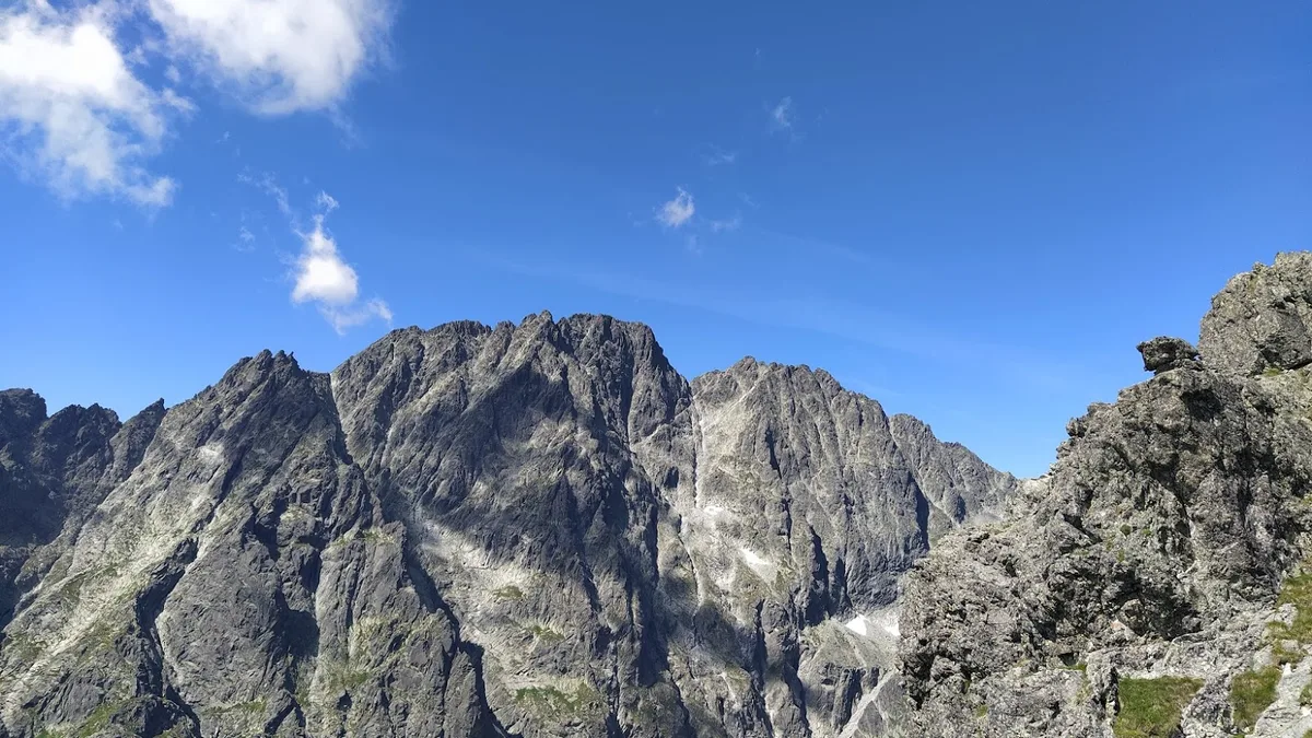
1932 Stanisławski Gerlachovský Štít Direct North Face First Ascent
In August 1932, Polish climbing genius Wiesław Stanisławski conquered the dark, icy northern precipices of Gerlachovský Štít, opening the defining direct route on the highest summit in the Carpathians.
Summit Chronicles & Stories (1)
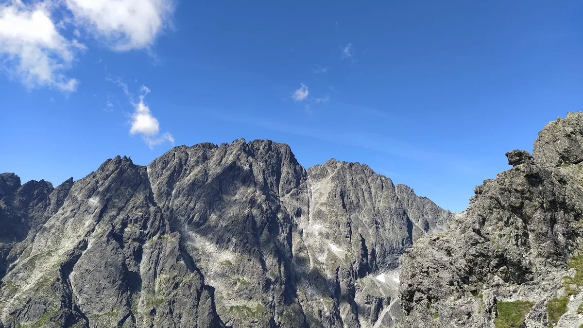
The King of the Tatras: Wiesław Stanisławski's 1932 Gerlach Direct North Face
In August 1932, Polish alpine prodigy Wiesław Stanisławski pioneered the direct North Face of Gerlachovský Štít (2,654 m), conquering the dark granite precipice of the highest peak in the Carpathians.
Frequently Asked Questions: Gerlachovský Štít
What is Gerlachovský Štít and what is its geographic significance?
Gerlachovský Štít (2,654.4 m) is the highest peak in the High Tatras, in Slovakia, and across the entire 1,500-kilometre Carpathian mountain chain.
What is the official elevation and prominence of Gerlachovský Štít?
Gerlach stands at 2,654.4 metres (8,709 feet) above sea level with a topographic prominence of 2,355 metres, making it an ultra-prominent European summit.
When was Gerlachovský Štít first climbed?
Ján Still, a Slovak schoolteacher and mountain guide from Nová Lesná, made the first verified ascent in 1834 alongside local chamois hunters.
Can tourists climb Gerlachovský Štít without a guide?
No, access to Gerlach is restricted under Tatra National Park (TANAP) regulations to certified UIAGM mountain guides or members of official alpine clubs.
What historical names has Gerlachovský Štít held?
The summit was historically named Franz Joseph Peak (after the Austro-Hungarian Emperor), Legionary Peak, and Stalin Peak (1949–1959).
What is the most formidable technical route on Gerlach?
The direct North Face, first conquered on August 11, 1932, by legendary Polish mountaineer Wiesław Stanisławski and Jan Gnojek.
What is the normal route to summit Gerlachovský Štít?
The standard route ascends via the Batizovská Próba or the Velická Próba, requiring steep scrambling and fixed chains and iron rungs.
What national park protects Gerlachovský Štít?
Tatranský národný park (TANAP) in Slovakia, established in 1949 as Central Europe's first cross-border national park.
Documented Sources & Archival Citations
- Tatry Wysokie: Przewodnik Taternicki(Witold Henryk Paryski / Sport i Turystyka, Warsaw)
Supporting claim: Authoritative historical and topographic register of routes on Gerlachovský Štít
Accessed/Documented: 2026 - Wielka Encyklopedia Tatrzańska(Zofia Radwańska-Paryska and Witold H. Paryski)
Supporting claim: Primary encyclopedic reference on Tatra exploration and Stanisławski's ascents
Accessed/Documented: 2026