Chopicalqui Southwest Ridge
The Southwest Ridge of Chopicalqui is one of the most aesthetic and popular high-altitude ridge climbs in the Cordillera Blanca. First scaled in August 1932 by Erwin Schneider, Philipp Borchers, and Hermann Hoerlin, the line rises along a soaring glaciated crest from the col above Quebrada Llanganuco.
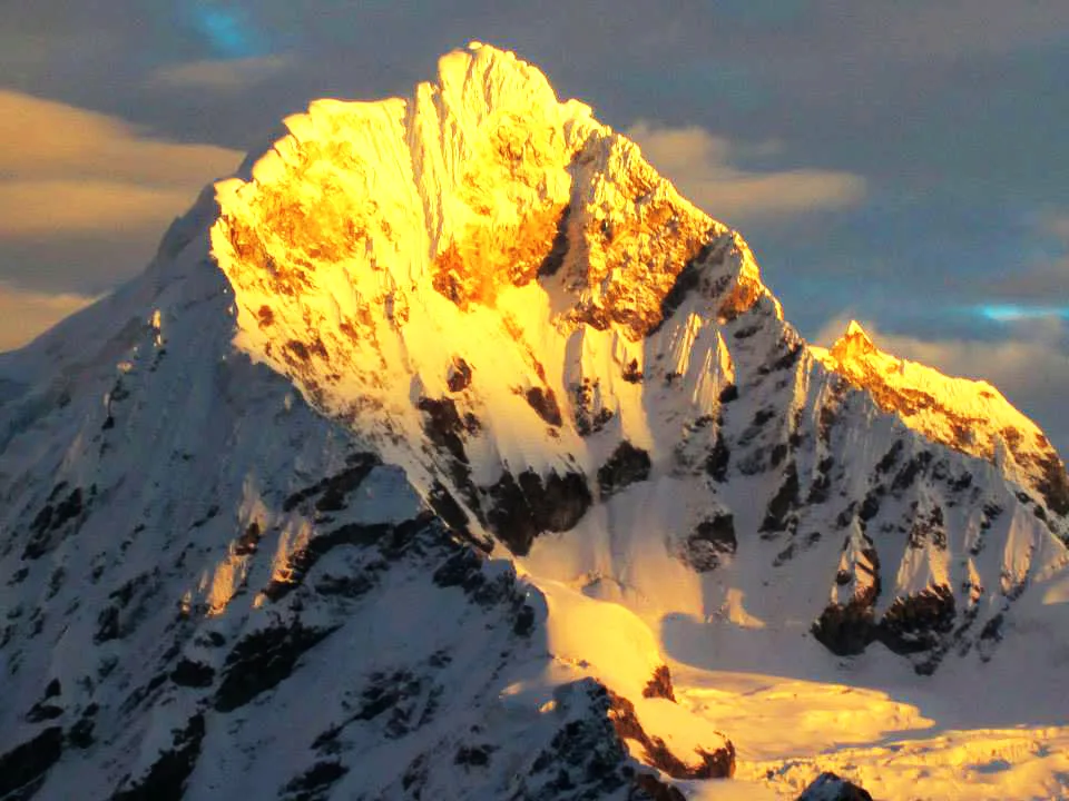
Ascent line, technical cruxes & camp topography profile for Chopicalqui Southwest Ridge
Mountain Safety & Conditions Disclaimer: High-altitude climbing, glacial travel, and technical ascents entail severe objective risks including avalanches, serac collapses, rapid weather collapse, and altitude illness. Historical route descriptions and summit claims on Mountanity reflect documented archival sources and must not be used as live operational safety assessments. Local regulations, permits, and physical glacial topography change continuously.
Peer Review: Senior Editorial Board & Historical Reviewers • Editorial Standards
Tactical & Camp Notes
Departing from the Llanganuco-Chopicalqui curve on the road beneath Portachuelo de Llanganuco, climbers trek through quenual forest to Base Camp at 4,200 metres, then ascend rough talus and lateral moraines to Moraine Camp at 4,900 metres. Roping up for the glacier, the route weaves through crevasses to High Camp at 5,600 metres on the broad Southwest Col. On summit day, climbers follow the winding glaciated ridge, negotiating airy 45-50 degree snow slopes, bypassing gaping crevasses, and scaling a steep 55-degree bergschrund crux before stepping onto the razor-sharp summit cornices.
Interactive Elevation Profile
Vertical profile, technical cruxes, and camp staging progression for Chopicalqui Southwest Ridge on Chopicalqui.
Grassy meadow camp near the quebrada stream below the lower moraine wall.
Camp-by-Camp Topography
Key staging altitudes, technical cruxes, and terrain transitions for Chopicalqui Southwest Ridge.
Chopicalqui Base Camp
Grassy meadow camp near the quebrada stream below the lower moraine wall.
Moraine Camp
Rocky tent platforms constructed atop the lateral moraine crest near glacier toe.
High Camp (Southwest Col)
Glacial plateau camp tucked beneath the first steep headwall of the southwest ridge.
Chopicalqui Summit
Spectacular knife-edge snow crest overlooking Huascarán, Huandoy, and Chacraraju.
Topographic Location & Terrain Map
Cartographic datum, massif coordinates, and terrain context for Chopicalqui Southwest Ridge on Chopicalqui.
Interactive Topographic Terrain Map
Click below to load live cartographic contours, glacier approaches, and geographic markers for Chopicalqui (9°05′19″ S, 77°34′55″ W).
Key Statistics & Topographic Figures
- Technical Grade
- AD (50°–55° snow/ice)
- Summit Elevation
- 6,354 m (20,846 ft)
- Elevation Gain
- 1,800 m from Quebrada Llanganuco
- First Ascent Team
- Erwin Schneider, Philipp Borchers, Hermann Hoerlin (1932)
- Crux Feature
- Upper bergschrund and summit ice mushroom
Archival Primary Source Quotations
“On the Southwest Ridge of Chopicalqui, you walk between sky and abyss on a silver ribbon of ice.”
Defined Alpine Terminology & Concepts
- Summit Ice Mushroom
- A bulbous formation of wind-packed rime and firn crowning an alpine peak that requires steep ice-axe climbing to breach.
- Cornice Navigating
- The careful technique of traversing snow ridges while staying well back from the overhanging, unsupported snow lip.
Frequently Asked Questions: Chopicalqui Southwest Ridge
What is the Chopicalqui Southwest Ridge route?
It is the classic 1932 first ascent line of Nevado Chopicalqui (6,354 m), famous for its elegant snow arête and exposed summit mushroom.
What technical grade is the Southwest Ridge?
The route is graded AD with 50-to-55-degree snow and ice, a steep bergschrund crux, and knife-edge cornice exposure.
How long does the climb usually take?
From the Llanganuco road, the route typically requires 4 days round-trip, including base camp, moraine camp, and high camp on the col.
What makes the summit approach memorable?
Climbers must negotiate a narrow, winding knife-edge snow arête with immense drops into deep Andean valleys on both sides.
Mountain Ascended

Chopicalqui
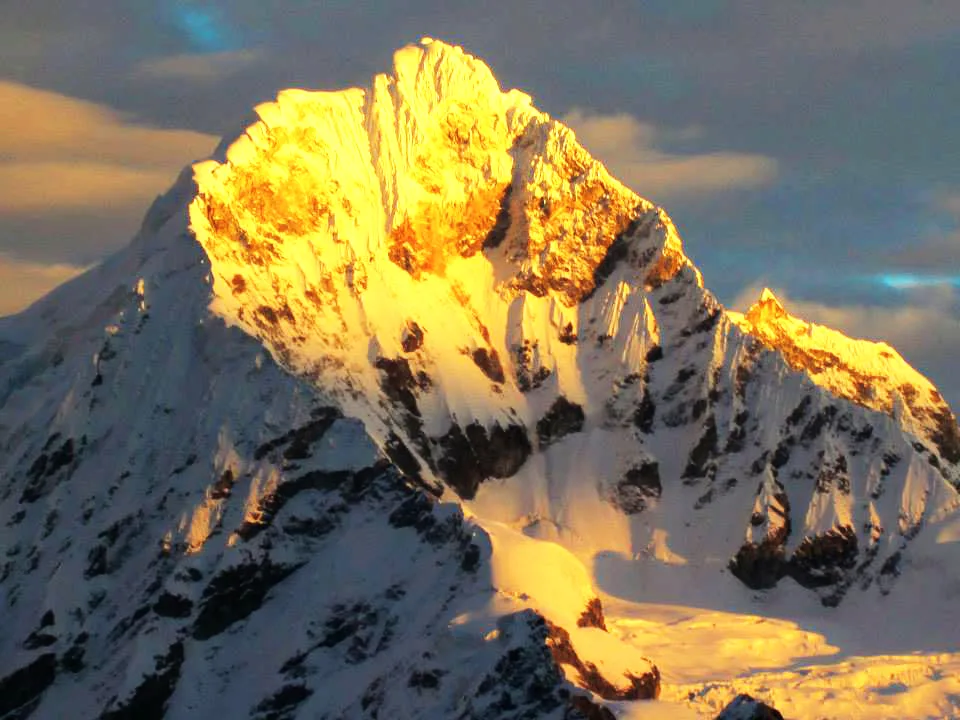
Chopicalqui is a magnificent 6,354-metre glaciated peak rising in the heart of Peru's Cordillera Blanca between Huascarán and Yanapaccha. First summited on August 3, 1932, by Erwin Schneider, Philipp Borchers, and Hermann Hoerlin, it is celebrated for its elegant Southwest Ridge route. The mountain offers complex crevassed glacier travel and knife-edge summit cornices.
Documented Expeditions on this Route (1)
Verified historical summits, siege campaigns, and pioneer attempts recorded on Chopicalqui Southwest Ridge.
1932 Schneider Chopicalqui Historic First Ascent Expedition
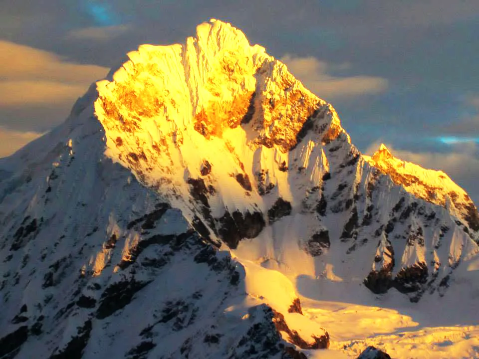
On August 3, 1932, Austrian mountaineer Erwin Schneider, Philipp Borchers, and Hermann Hoerlin made the historic first ascent of Nevado Chopicalqui (6,354 m) in Peru's Cordillera Blanca. Pioneering the elegant Southwest Ridge line from Quebrada Llanganuco, the climbers negotiated razor-sharp snow arêtes and fragile summit cornices to unlock one of the Andes' most aesthetic summits.
Archival Chronicles & Stories on this Route (1)
In-depth longform historical narratives, harrowing survival accounts, and firsthand alpine journals on Chopicalqui Southwest Ridge.
The Knife-Edge of Llanganuco: Erwin Schneider's 1932 Triumph on Chopicalqui
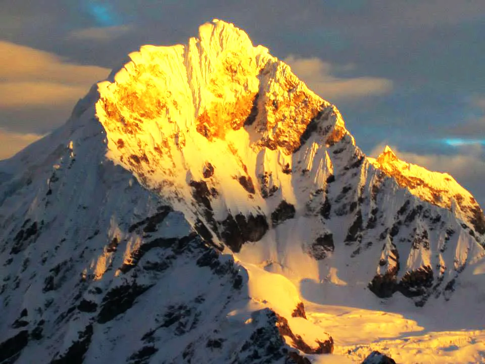
Just two weeks after conquering Huascarán Sur, Erwin Schneider, Philipp Borchers, and Hermann Hoerlin pioneered the razor-sharp Southwest Ridge of Chopicalqui (6,354 m).
Documented Sources & Archival Citations
- Die Weiße Kordillere(Philipp Borchers / Verlag F. Bruckmann)
Supporting claim: Narrative of the 1932 Austrian first ascent along the Southwest Ridge
Accessed/Documented: 2026 - Climbs of the Cordillera Blanca(Brad Johnson / The Mountaineers Books)
Supporting claim: Modern route guide, grade description, and seasonal conditions
Accessed/Documented: 2026