Cotopaxi Normal Route (North-Northeast Glacier)
The classic ascent of Cotopaxi ascends north-northeast glaciated slopes from the José Rivas Refuge (4,864 m). The route weaves through moderate 35°-45° snowfields and crevassed ramps, passing beneath the Yanasacha rock band before topping out on the rim of the steaming volcanic caldera at 5,897 metres.
Ascent line, technical cruxes & camp topography profile for Cotopaxi Normal Route (North-Northeast Glacier)
Mountain Safety & Conditions Disclaimer: High-altitude climbing, glacial travel, and technical ascents entail severe objective risks including avalanches, serac collapses, rapid weather collapse, and altitude illness. Historical route descriptions and summit claims on Mountanity reflect documented archival sources and must not be used as live operational safety assessments. Local regulations, permits, and physical glacial topography change continuously.
Peer Review: Senior Editorial Board & Historical Reviewers • Editorial Standards
Tactical & Camp Notes
Leaving the José Rivas Refuge at midnight, climbers ascend volcanic scree and ash to reach the glaciated toe at 5,100 metres. The route then zigzags up consistent 35°-40° snow slopes, crossing snow bridges over yawning crevasses. At approximately 5,500 metres, climbers traverse beneath the massive black rock face of Yanasacha ('Black Rock' in Kichwa), where slopes steepen to 45°. A final ascending traverse over serac-flanked ramps leads directly to the northern rim of Cotopaxi's vast crater at 5,897 metres, overlooking sulfurous volcanic vents.
Interactive Elevation Profile
Vertical profile, technical cruxes, and camp staging progression for Cotopaxi Normal Route (North-Northeast Glacier) on Cotopaxi.
Bustling alpine hut situated on the northern slope of Cotopaxi, serving as the standard staging point.
Camp-by-Camp Topography
Key staging altitudes, technical cruxes, and terrain transitions for Cotopaxi Normal Route (North-Northeast Glacier).
José Rivas Refuge
Bustling alpine hut situated on the northern slope of Cotopaxi, serving as the standard staging point.
Yanasacha Traverse
Crux section traversing beneath a colossal dark rock bastion across steep 45° firn.
Cotopaxi Crater Rim
Summit rim offering dizzying views into the 800-metre-wide steaming volcanic caldera.
Topographic Location & Terrain Map
Cartographic datum, massif coordinates, and terrain context for Cotopaxi Normal Route (North-Northeast Glacier) on Cotopaxi.
Interactive Topographic Terrain Map
Click below to load live cartographic contours, glacier approaches, and geographic markers for Cotopaxi (0°40′50″ S, 78°26′16″ W).
Key Statistics & Topographic Figures
- Technical Grade
- PD/AD- (35°–45° Snow & Glaciated Ramps)
- Elevation Gain
- 1,033 m (from José Rivas Refuge)
- Starting Altitude
- 4,864 m (Refugio José Rivas)
- Summit Altitude
- 5,897 m (Crater rim)
Archival Primary Source Quotations
“Emerging onto the crater rim of Cotopaxi as sunrise ignites the snowfields is among the grandest sensations in alpine climbing.”
Defined Alpine Terminology & Concepts
- Active Rim Traverse
- The exposed snow-and-ice crest running along the perimeter of an active volcanic caldera at high altitude.
Frequently Asked Questions: Cotopaxi Normal Route (North-Northeast Glacier)
How difficult is the standard route on Cotopaxi?
Graded PD/AD-, the North-Northeast Glacier route features steady 35°–45° snow ramps, crevasse bridges, and an elevation gain of over 1,000 metres from the refuge.
Where does the ascent of Cotopaxi begin?
The standard climb begins at the José Rivas Refuge at 4,864 metres, accessible by vehicle up to the lower car park.
What is the summit experience like on Cotopaxi?
Climbers emerge directly onto the northern rim of an 800-metre wide volcanic caldera, peering down at steaming sulfur vents and glowing fissures.
Mountain Ascended
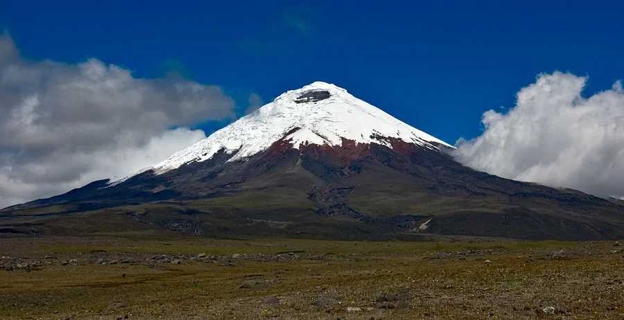
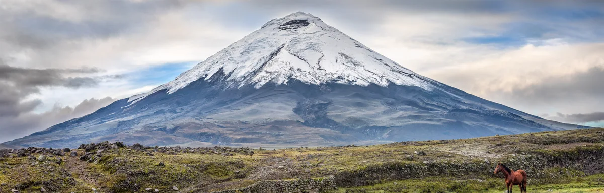
Cotopaxi
Volcán Cotopaxi is a near-perfect symmetrical stratovolcano rising to 5,897 metres in the Eastern Cordillera of the Ecuadorian Andes. One of the highest historically active volcanoes on Earth, its snow-mantled cone encases an 800-metre-wide crater emitting sulfurous steam vents and fumaroles. The volcano was first climbed on November 28, 1872, by German geologist Wilhelm Reiss and Colombian-Ecuadorian explorer Ángel María Escobar, who spent hours surveying the inner crater rim.
Documented Expeditions on this Route (1)
Verified historical summits, siege campaigns, and pioneer attempts recorded on Cotopaxi Normal Route (North-Northeast Glacier).
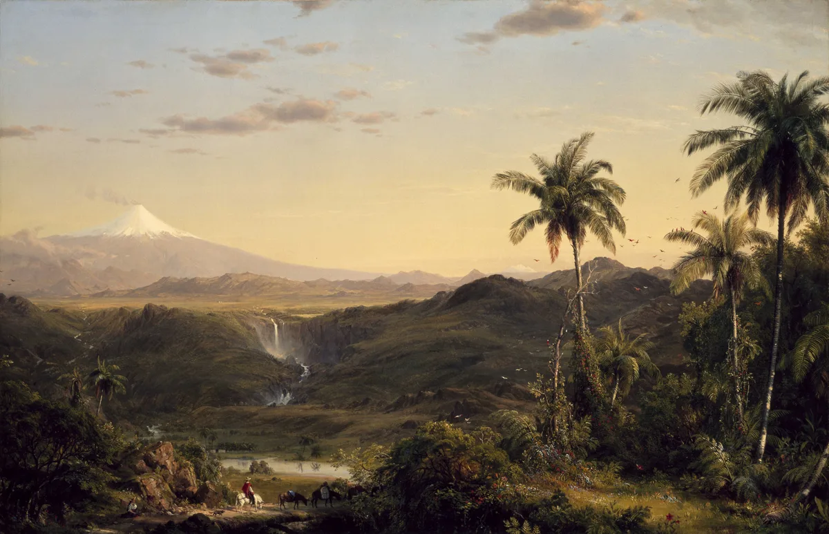
1872 Wilhelm Reiss and Ángel María Escobar Cotopaxi Historic First Ascent Expedition
On November 28, 1872, German geologist Wilhelm Reiss and Colombian explorer Ángel María Escobar achieved the historic first ascent of Volcán Cotopaxi (5,897 m). Traversing glaciated ramps and navigating gaping crevasses, they reached the active crater rim and conducted the first scientific observations inside Earth's highest active volcanic cauldron.
Archival Chronicles & Stories on this Route (1)
In-depth longform historical narratives, harrowing survival accounts, and firsthand alpine journals on Cotopaxi Normal Route (North-Northeast Glacier).
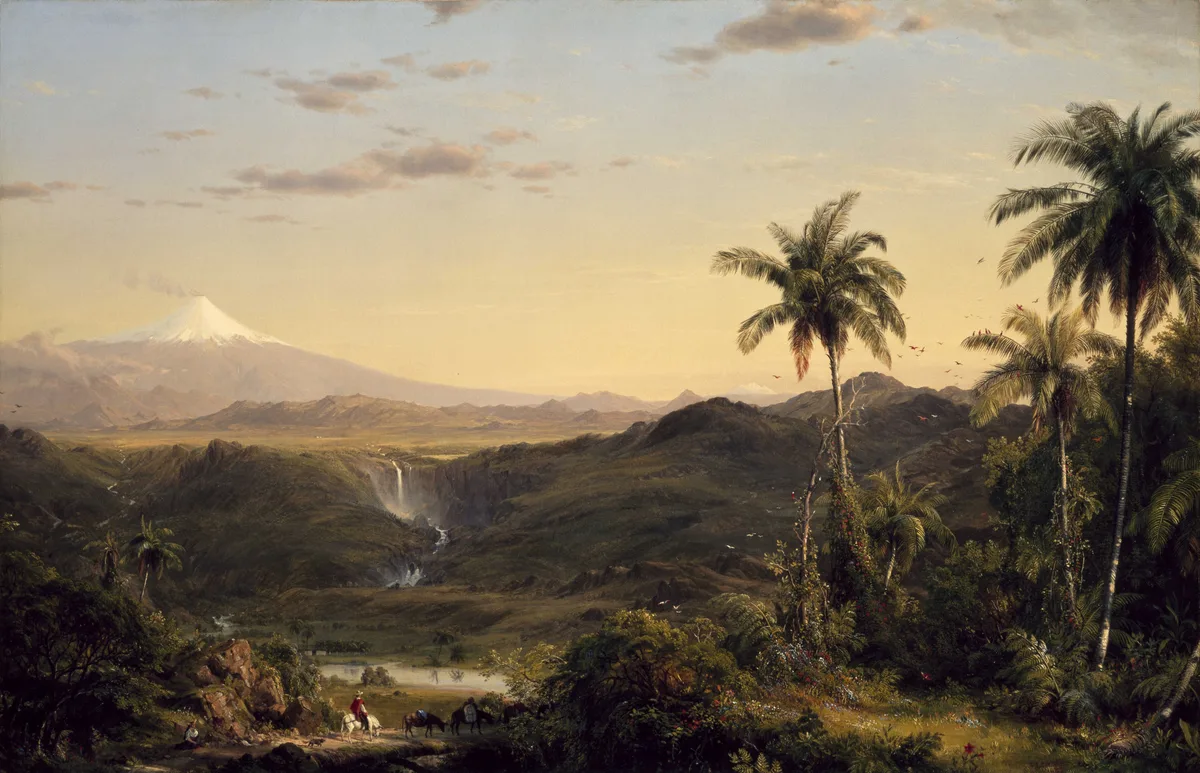
Into the Steaming Cauldron: Reiss and Escobar's 1872 Conquest of Cotopaxi
On November 28, 1872, German volcanologist Wilhelm Reiss and Colombian explorer Ángel María Escobar made the historic first ascent of Volcán Cotopaxi (5,897 m), standing on the steaming rim of its 800-metre active caldera.
Documented Sources & Archival Citations
- Über eine Ersteigung des Vulkans Cotopaxi(Wilhelm Reiss / Zeitschrift der Deutschen Geologischen Gesellschaft)
Supporting claim: First ascent documentation of the crater rim route
Accessed/Documented: 1873 - Ecuador: A Climbing Guide(Yossi Brain / The Mountaineers Books)
Supporting claim: Modern alpine route specifications for Cotopaxi's northern glacier
Accessed/Documented: 2000