Cotopaxi
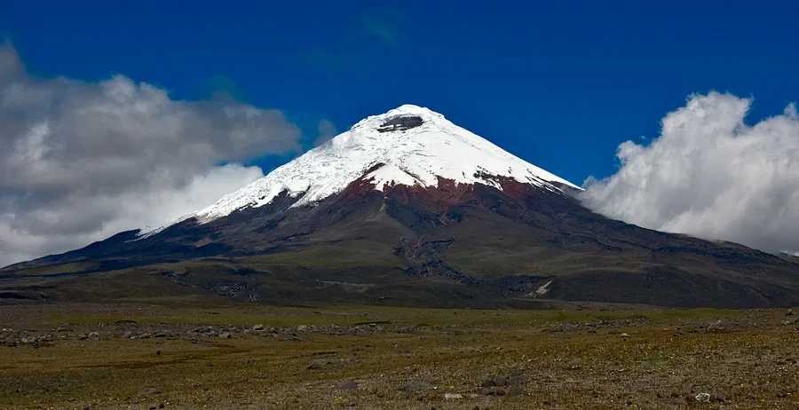
Volcán Cotopaxi is a near-perfect symmetrical stratovolcano rising to 5,897 metres in the Eastern Cordillera of the Ecuadorian Andes. One of the highest historically active volcanoes on Earth, its snow-mantled cone encases an 800-metre-wide crater emitting sulfurous steam vents and fumaroles.
Mountain Safety & Conditions Disclaimer: High-altitude climbing, glacial travel, and technical ascents entail severe objective risks including avalanches, serac collapses, rapid weather collapse, and altitude illness. Historical route descriptions and summit claims on Mountanity reflect documented archival sources and must not be used as live operational safety assessments. Local regulations, permits, and physical glacial topography change continuously.
Peer Review: Senior Editorial Board & Historical Reviewers • Editorial Standards
Geographical Setting & Topography
Located approximately 50 kilometres south of Quito, Cotopaxi anchors Cotopaxi National Park within the Inter-Andean depression. Its symmetrical ice-capped cone commands sweeping views over the Avenue of the Volcanoes, while its geothermal heat interacts with high-altitude snowfields to produce intricate crevasse fields and steaming bergschrunds.
Historic First Ascent
Date: 1872-11-28
Ascent Team: Wilhelm Reiss and Ángel María Escobar
Key Statistics & Topographic Figures
- Summit Elevation
- 5,897 m (19,347 ft)
- Topographic Prominence
- 2,403 m
- Crater Width
- 800 m (Steaming caldera)
- First Ascent
- November 28, 1872 (Reiss & Escobar)
- Volcanic Classification
- Active Glaciated Stratovolcano
Archival Primary Source Quotations
“Cotopaxi is the most terrifying and magnificent spectacle: an immaculate cone of snow crowned by smoke and flame.”
Defined Alpine Terminology & Concepts
- Yanasacha
- The imposing black volcanic rock cliff at 5,500 m on Cotopaxi's northern flank that serves as a key navigational marker on the summit route.
Cotopaxi Mountain Weather Forecast
Detailed 14-Day Summit Window & Weather Timeline
Explore day-by-day summit push safety windows, wind shear analysis, and extended multi-day forecasts for Cotopaxi.
Explore Cotopaxi (5,897 m) in Interactive 3D
Inspect steep glacial walls, hanging seracs, ridge approaches, and elevation relief with 360° rotation and terrain tilt in WebGL.
Documented Climbing Routes (1)
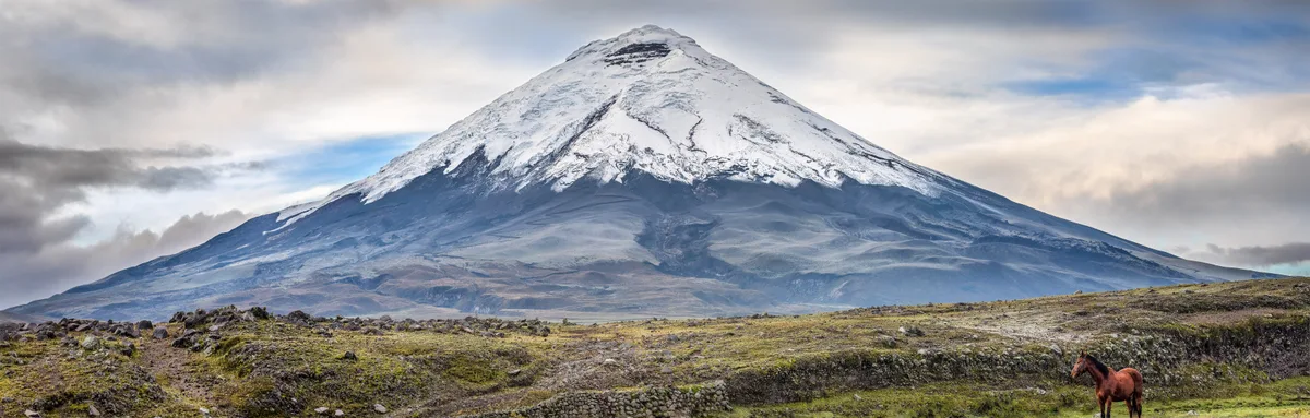
Cotopaxi Normal Route (North-Northeast Glacier)
The classic ascent of Cotopaxi ascends north-northeast glaciated slopes from the José Rivas Refuge (4,864 m). The route weaves through moderate 35°-45° snowfields and crevassed ramps, passing beneath the Yanasacha rock band before topping out on the rim of the steaming volcanic caldera at 5,897 metres.
Historical Expeditions (1)
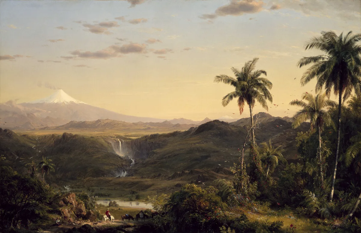
1872 Wilhelm Reiss and Ángel María Escobar Cotopaxi Historic First Ascent Expedition
On November 28, 1872, German geologist Wilhelm Reiss and Colombian explorer Ángel María Escobar achieved the historic first ascent of Volcán Cotopaxi (5,897 m). Traversing glaciated ramps and navigating gaping crevasses, they reached the active crater rim and conducted the first scientific observations inside Earth's highest active volcanic cauldron.
Summit Chronicles & Stories (1)
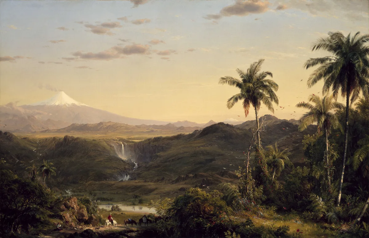
Into the Steaming Cauldron: Reiss and Escobar's 1872 Conquest of Cotopaxi
On November 28, 1872, German volcanologist Wilhelm Reiss and Colombian explorer Ángel María Escobar made the historic first ascent of Volcán Cotopaxi (5,897 m), standing on the steaming rim of its 800-metre active caldera.
Frequently Asked Questions: Cotopaxi
Is Volcán Cotopaxi an active volcano?
Yes, Cotopaxi is one of the highest active stratovolcanoes on Earth, featuring periodic volcanic eruptions and active sulfurous steam vents within its 800-metre-wide crater.
Who achieved the first ascent of Cotopaxi?
German geologist Wilhelm Reiss and Colombian explorer Ángel María Escobar made the first recorded ascent to the crater rim on November 28, 1872.
What is the difficulty of climbing Cotopaxi's normal route?
The North-Northeast Glacier is graded PD/AD-, requiring cramponing on 35°–45° snow ramps, crevasse navigation, and altitude stamina to 5,897 metres.
What is the landmark rock band on Cotopaxi called?
The prominent dark volcanic wall at 5,500 m is called Yanasacha ('Black Rock' in Kichwa), passed just below the final summit slopes.
Documented Sources & Archival Citations
- Über eine Ersteigung des Vulkans Cotopaxi(Wilhelm Reiss / Zeitschrift der Deutschen Geologischen Gesellschaft)
Supporting claim: Firsthand scientific report of the 1872 first ascent of Cotopaxi
Accessed/Documented: 1873 - Travels Amongst the Great Andes of the Equator(Edward Whymper / John Murray)
Supporting claim: Historical verification of Wilhelm Reiss and Ángel María Escobar's 1872 ascent
Accessed/Documented: 1892