Pico Cristóbal Colón Normal Route (North Glaciers & Arête)
The classic ascent of Pico Cristóbal Colón navigates north-facing hanging glaciers and steep firn ramps before traversing an exposed granitic arête to the 5,730-metre summit. Requiring a multi-day jungle trek through indigenous ancestral territories, the route demands complete expedition self-sufficiency.
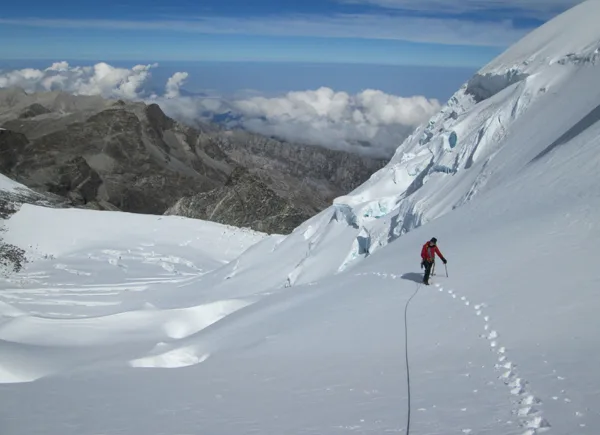
Ascent line, technical cruxes & camp topography profile for Pico Cristóbal Colón Normal Route (North Glaciers & Arête)
Mountain Safety & Conditions Disclaimer: High-altitude climbing, glacial travel, and technical ascents entail severe objective risks including avalanches, serac collapses, rapid weather collapse, and altitude illness. Historical route descriptions and summit claims on Mountanity reflect documented archival sources and must not be used as live operational safety assessments. Local regulations, permits, and physical glacial topography change continuously.
Peer Review: Senior Editorial Board & Historical Reviewers • Editorial Standards
Tactical & Camp Notes
The journey begins with an arduous 4-to-5 day approach from Valledupar or Santa Marta, traversing cloud forests and high paramo lagoons to establish Base Camp at Laguna Naboba (4,400 m). From high camp beside the lower moraine (4,800 m), climbers rope up to ascend 40°–45° firn ramps on the North Glacier, weaving around open bergschrunds. Gaining the high col between Cristóbal Colón and Simón Bolívar at 5,500 metres, the route follows an exposed, wind-scoured granitic arête with sections of class 3-4 rock scrambling, finishing at the summit cairn at 5,730 metres with sweeping views down to the Caribbean Sea.
Interactive Elevation Profile
Vertical profile, technical cruxes, and camp staging progression for Pico Cristóbal Colón Normal Route (North Glaciers & Arête) on Pico Cristóbal Colón.
Sacred high alpine lake camp positioned in the upper glacial basin beneath Santa Marta's twin giants.
Camp-by-Camp Topography
Key staging altitudes, technical cruxes, and terrain transitions for Pico Cristóbal Colón Normal Route (North Glaciers & Arête).
Laguna Naboba Base Camp
Sacred high alpine lake camp positioned in the upper glacial basin beneath Santa Marta's twin giants.
North Glacier High Camp
Exposed tent bivy situated on rocky granite slabs beside the retreating glacier toe.
Pico Cristóbal Colón Summit
Highest point in Colombia, commanding breathtaking panoramic views across coastal and cordilleran Colombia.
Topographic Location & Terrain Map
Cartographic datum, massif coordinates, and terrain context for Pico Cristóbal Colón Normal Route (North Glaciers & Arête) on Pico Cristóbal Colón.
Interactive Topographic Terrain Map
Click below to load live cartographic contours, glacier approaches, and geographic markers for Pico Cristóbal Colón (10°50′09″ N, 73°41′13″ W).
Key Statistics & Topographic Figures
- Technical Grade
- AD- (45° Firn, Crevasse Navigation, Rock Arête)
- Elevation Gain
- 1,330 m (from Base Camp)
- Expedition Approach
- 4–5 Days Wilderness Trekking
- Summit Altitude
- 5,730 m (18,799 ft)
Archival Primary Source Quotations
“The North Glacier of Cristóbal Colón requires steady nerves and true alpine self-reliance.”
Defined Alpine Terminology & Concepts
- Isolated Massif Approach
- A remote multi-day expedition traversal passing through disparate vertical life zones from tropical lowlands to glaciated high alpine cirques.
Frequently Asked Questions: Pico Cristóbal Colón Normal Route (North Glaciers & Arête)
What is the normal route on Pico Cristóbal Colón?
The North Glacier and Arête route (AD-), ascending 45° firn ramps to the high col before following an exposed granitic ridge to the 5,730 m summit.
How long is the expedition approach to Cristóbal Colón?
The approach requires a 4 to 5 day wilderness trek through dense tropical cloud forest and high paramo lagoons from Valledupar or Santa Marta.
What makes climbing Cristóbal Colón challenging?
Its extreme geographical isolation, complex indigenous permissions, tropical diseases at lower altitudes, and technical glacier crevasses above 5,000 metres.
Mountain Ascended
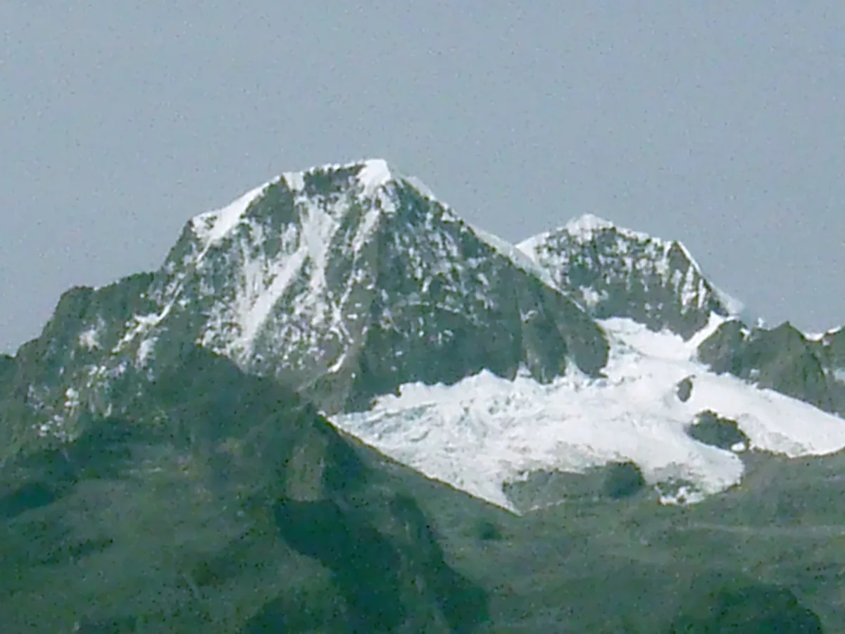
Pico Cristóbal Colón
Pico Cristóbal Colón is the highest mountain in Colombia and the fifth most topographically prominent peak on Earth, soaring to 5,730 metres in the isolated coastal massif of the Sierra Nevada de Santa Marta. Rising abruptly just 42 kilometres from the Caribbean Sea, this glaciated titan holds profound sacred significance for indigenous Kogui, Arhuaco, Wiwa, and Kankuamo peoples as the heart of the world. The peak was first climbed in 1939 by Walter Wood, Anderson Bakewell, and Colombian mountaineering pioneer Erwin Kraus.
Documented Expeditions on this Route (2)
Verified historical summits, siege campaigns, and pioneer attempts recorded on Pico Cristóbal Colón Normal Route (North Glaciers & Arête).
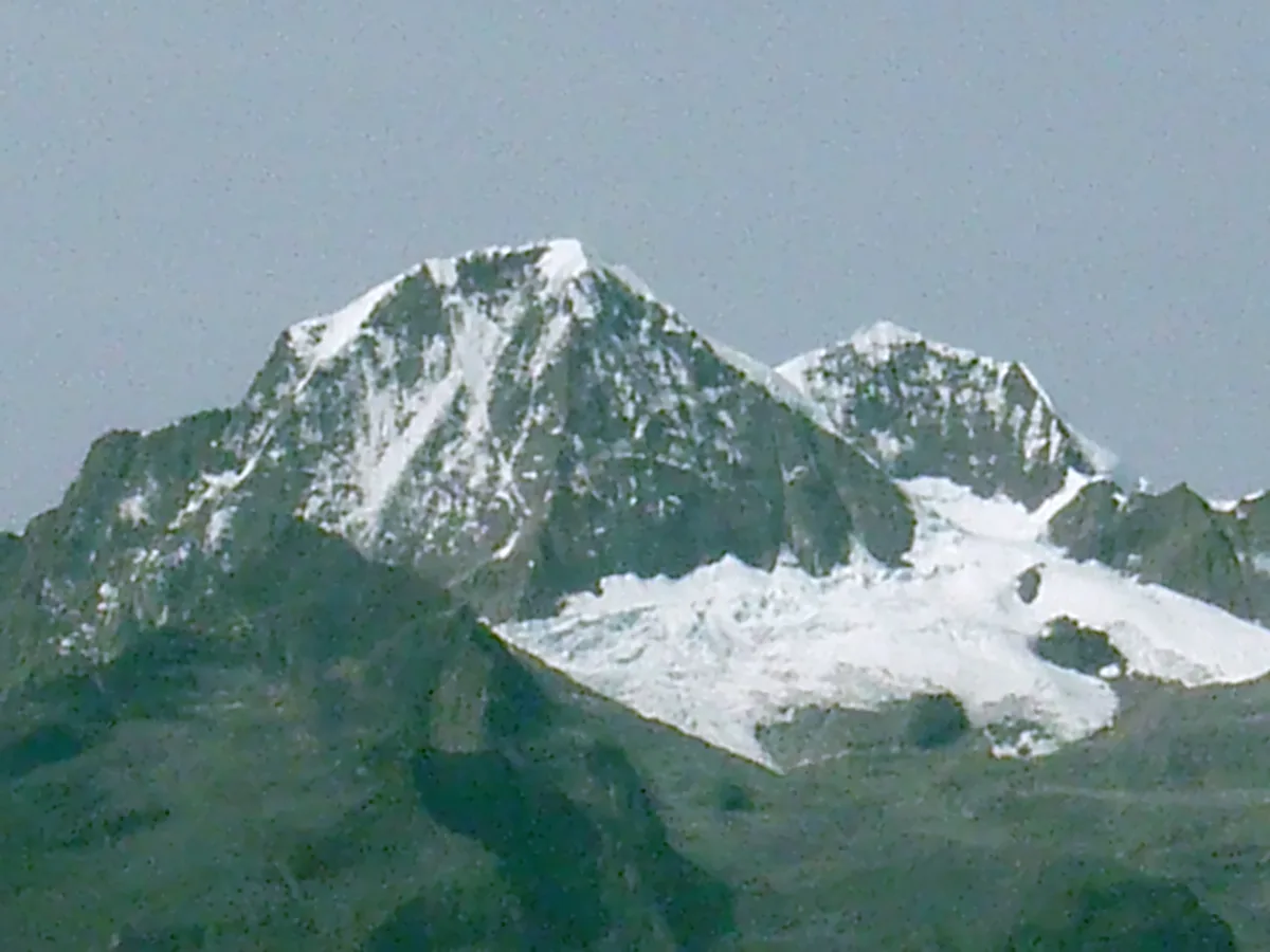
1939 Walter Wood and Erwin Kraus Pico Cristóbal Colón Historic First Ascent Expedition
On February 2, 1939, American explorers Walter Wood and Anderson Bakewell alongside Colombian pioneer Erwin Kraus achieved the historic first ascent of Pico Cristóbal Colón (5,730 m). Overcoming dense cloud forests and steep northern firn ramps, they conquered the fifth most topographically prominent mountain on Earth.
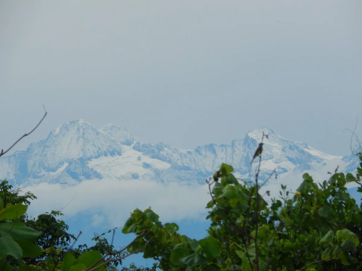
1952 Erwin Kraus Sierra Nevada de Santa Marta Alpine Traverse Expedition
In January 1952, Colombian mountaineering pioneer Erwin Kraus led a monumental high-alpine traverse across the glaciated peaks of the Sierra Nevada de Santa Marta. Summiting multiple 5,000-metre peaks and documenting fragile equatorial icefields, Kraus completed the definitive photographic and topographical survey of Colombia's highest massif.
Archival Chronicles & Stories on this Route (2)
In-depth longform historical narratives, harrowing survival accounts, and firsthand alpine journals on Pico Cristóbal Colón Normal Route (North Glaciers & Arête).
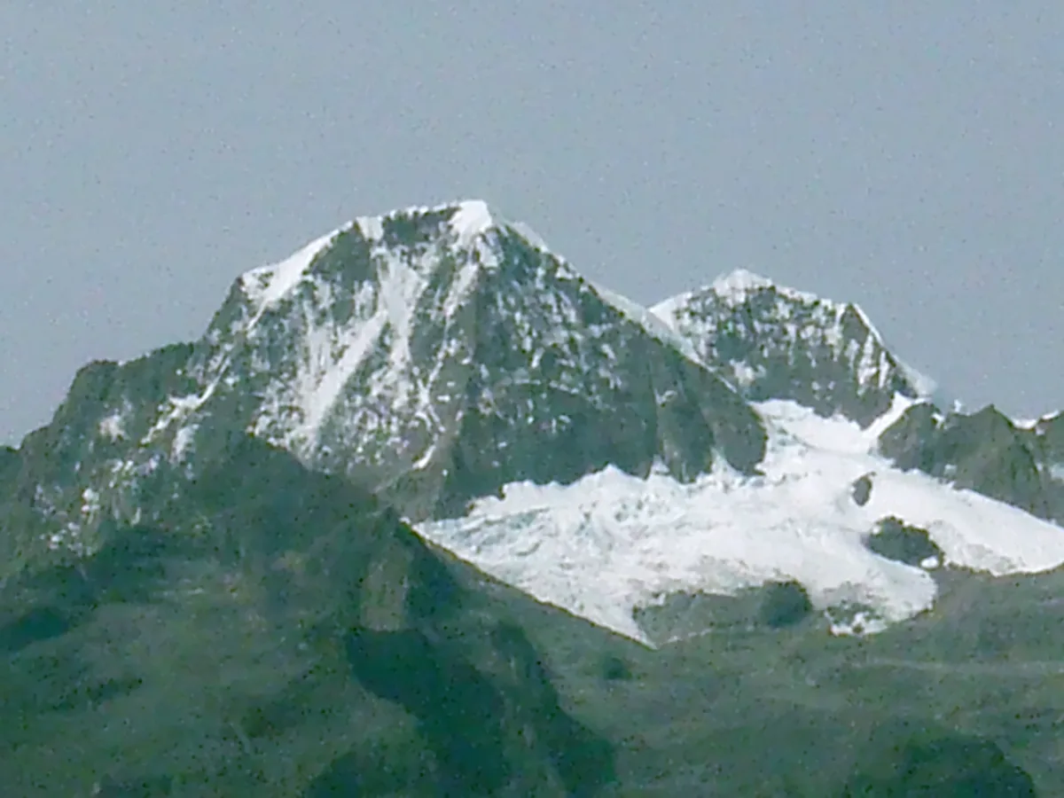
Crown of the Caribbean: The 1939 First Ascent of Pico Cristóbal Colón
On February 2, 1939, Walter Wood, Anderson Bakewell, and Erwin Kraus made the historic first ascent of Pico Cristóbal Colón (5,730 m) in Colombia's Sierra Nevada de Santa Marta.
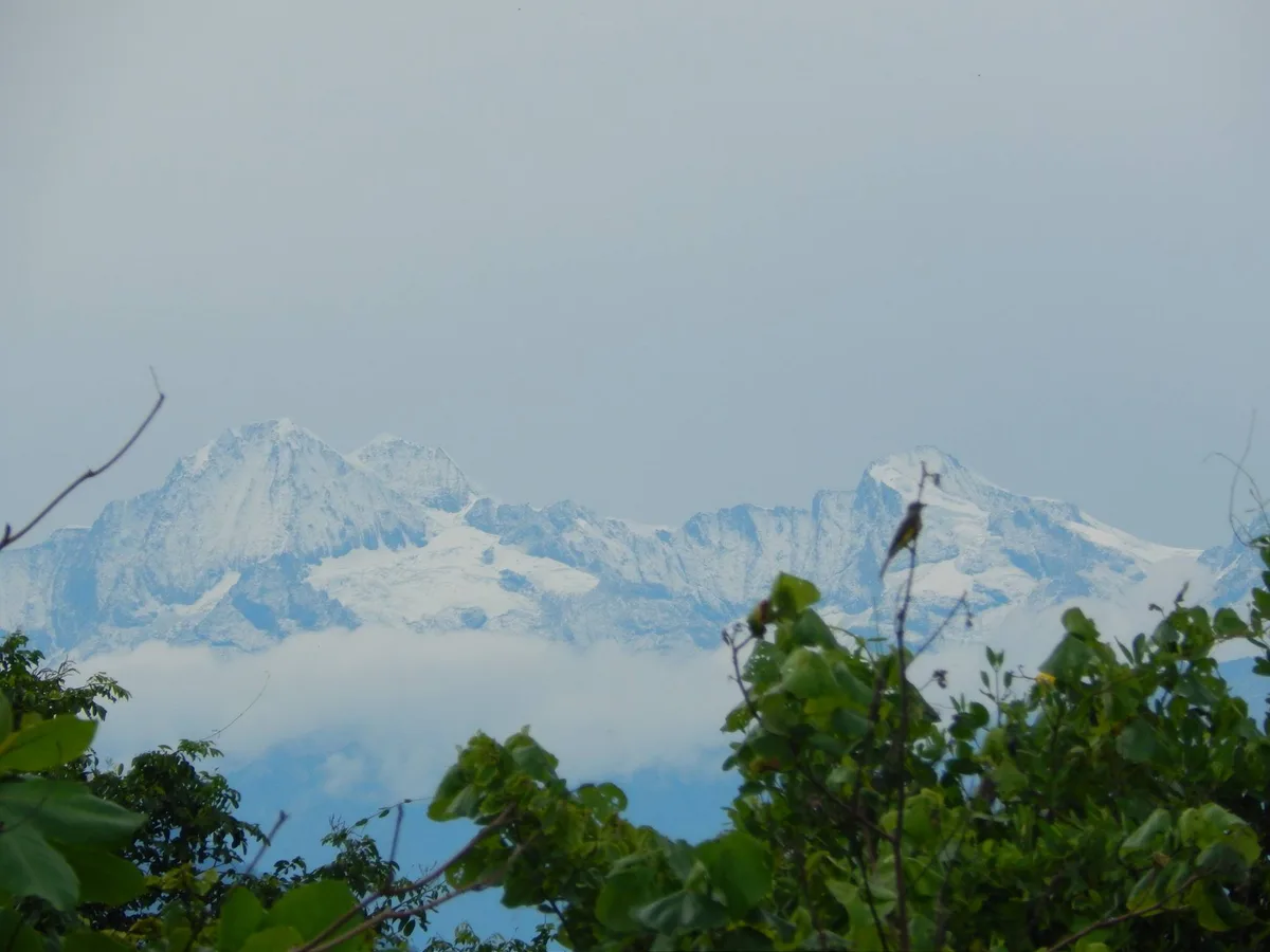
Master of the Sierra: Erwin Kraus's 1952 Santa Marta Alpine Traverse
In 1952, Colombian pioneer Erwin Kraus executed a legendary three-week alpine traverse across the glaciated summits of the Sierra Nevada de Santa Marta.
Documented Sources & Archival Citations
- The Sierra Nevada de Santa Marta(American Alpine Journal)
Supporting claim: Firsthand technical route log of the 1939 ascent
Accessed/Documented: 1940 - Montañas de Colombia(Villegas Editores)
Supporting claim: Modern route descriptions and geographical analysis of the Santa Marta massif
Accessed/Documented: 2001