Pico Cristóbal Colón
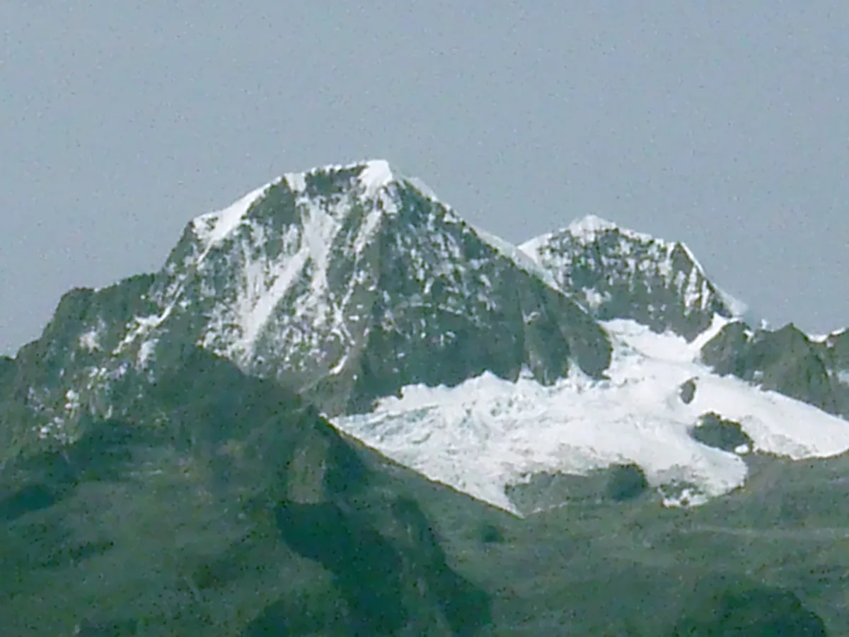
Pico Cristóbal Colón is the highest mountain in Colombia and the fifth most topographically prominent peak on Earth, soaring to 5,730 metres in the isolated coastal massif of the Sierra Nevada de Santa Marta. Rising abruptly just 42 kilometres from the Caribbean Sea, this glaciated titan holds profound sacred significance for indigenous Kogui, Arhuaco, Wiwa, and Kankuamo peoples as the heart of the world.
Mountain Safety & Conditions Disclaimer: High-altitude climbing, glacial travel, and technical ascents entail severe objective risks including avalanches, serac collapses, rapid weather collapse, and altitude illness. Historical route descriptions and summit claims on Mountanity reflect documented archival sources and must not be used as live operational safety assessments. Local regulations, permits, and physical glacial topography change continuously.
Peer Review: Senior Editorial Board & Historical Reviewers • Editorial Standards
Geographical Setting & Topography
Pico Cristóbal Colón anchors the supreme twin summit of the Sierra Nevada de Santa Marta alongside Pico Simón Bolívar. Because the Santa Marta massif is separated from the main Andean cordillera by tropical lowlands and Caribbean plains, its topographic prominence of 5,509 metres makes it one of the most prominent mountains on planet Earth. Its upper slopes are draped in equatorial ice caps and sheer granitic precipices.
Historic First Ascent
Date: 1939-02-02
Ascent Team: Walter Wood, Anderson Bakewell, and Erwin Kraus
Key Statistics & Topographic Figures
- Summit Elevation
- 5,730 m (18,799 ft)
- Topographic Prominence
- 5,509 m (5th Most Prominent on Earth)
- First Ascent
- February 2, 1939 (Wood, Bakewell, Kraus)
- Massif Type
- Isolated Coastal Granitic Massif
- Department
- Magdalena, Colombia
Archival Primary Source Quotations
“Standing atop Cristóbal Colón, one looks out upon the curvature of the earth meeting the Caribbean Sea.”
Defined Alpine Terminology & Concepts
- Coastal Orogeny
- A geological process where immense tectonic forces uplift an isolated mountain range directly along an ocean coastline.
Pico Cristóbal Colón Mountain Weather Forecast
Detailed 14-Day Summit Window & Weather Timeline
Explore day-by-day summit push safety windows, wind shear analysis, and extended multi-day forecasts for Pico Cristóbal Colón.
Explore Pico Cristóbal Colón (5,730 m) in Interactive 3D
Inspect steep glacial walls, hanging seracs, ridge approaches, and elevation relief with 360° rotation and terrain tilt in WebGL.
Documented Climbing Routes (1)
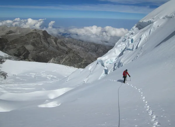
Pico Cristóbal Colón Normal Route (North Glaciers & Arête)
The classic ascent of Pico Cristóbal Colón navigates north-facing hanging glaciers and steep firn ramps before traversing an exposed granitic arête to the 5,730-metre summit. Requiring a multi-day jungle trek through indigenous ancestral territories, the route demands complete expedition self-sufficiency.
Historical Expeditions (2)
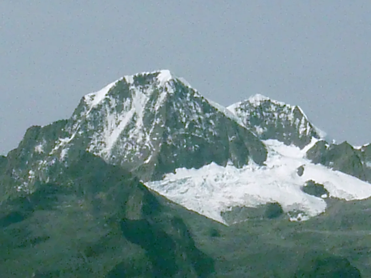
1939 Walter Wood and Erwin Kraus Pico Cristóbal Colón Historic First Ascent Expedition
On February 2, 1939, American explorers Walter Wood and Anderson Bakewell alongside Colombian pioneer Erwin Kraus achieved the historic first ascent of Pico Cristóbal Colón (5,730 m). Overcoming dense cloud forests and steep northern firn ramps, they conquered the fifth most topographically prominent mountain on Earth.
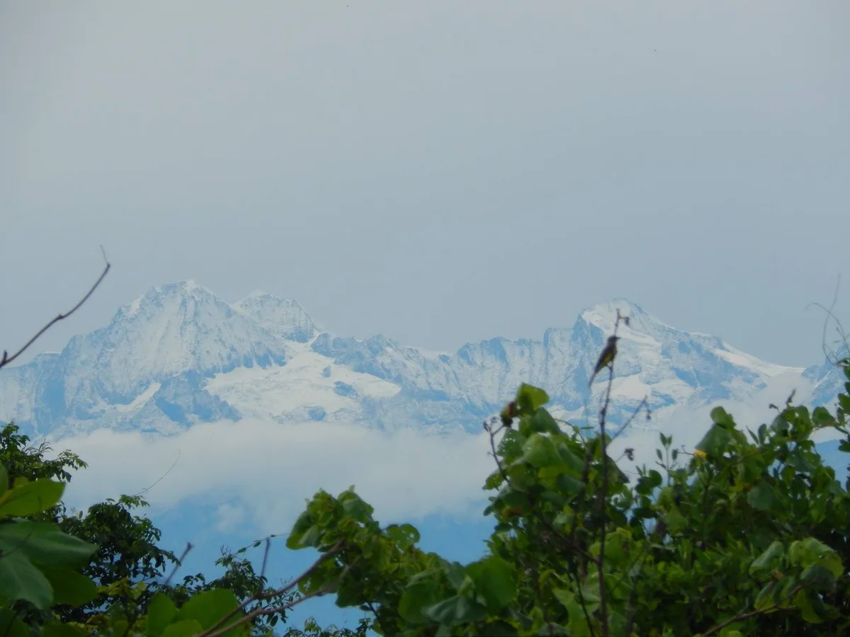
1952 Erwin Kraus Sierra Nevada de Santa Marta Alpine Traverse Expedition
In January 1952, Colombian mountaineering pioneer Erwin Kraus led a monumental high-alpine traverse across the glaciated peaks of the Sierra Nevada de Santa Marta. Summiting multiple 5,000-metre peaks and documenting fragile equatorial icefields, Kraus completed the definitive photographic and topographical survey of Colombia's highest massif.
Summit Chronicles & Stories (2)
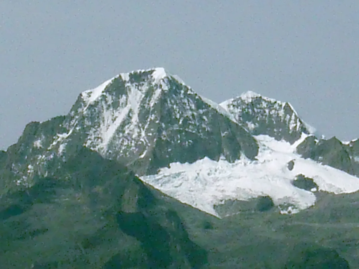
Crown of the Caribbean: The 1939 First Ascent of Pico Cristóbal Colón
On February 2, 1939, Walter Wood, Anderson Bakewell, and Erwin Kraus made the historic first ascent of Pico Cristóbal Colón (5,730 m) in Colombia's Sierra Nevada de Santa Marta.
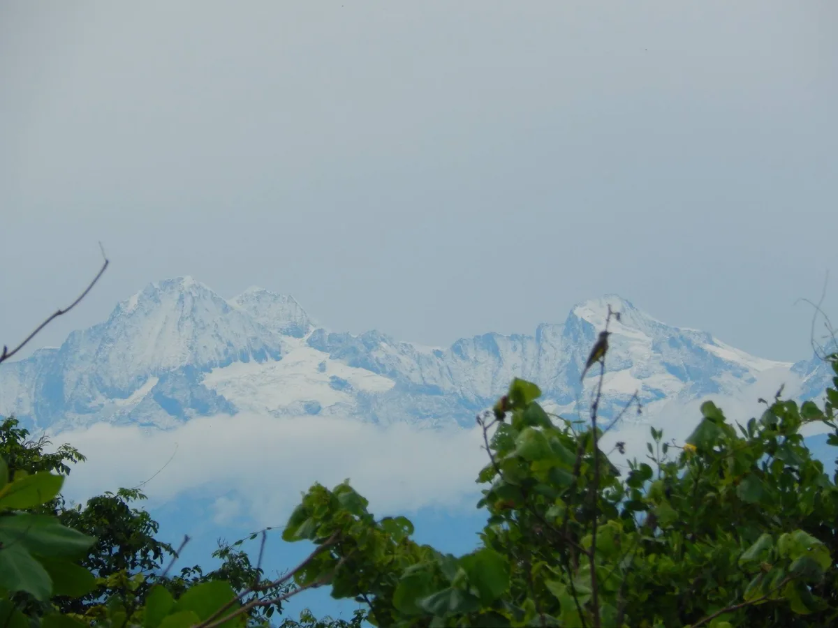
Master of the Sierra: Erwin Kraus's 1952 Santa Marta Alpine Traverse
In 1952, Colombian pioneer Erwin Kraus executed a legendary three-week alpine traverse across the glaciated summits of the Sierra Nevada de Santa Marta.
Frequently Asked Questions: Pico Cristóbal Colón
Why is Pico Cristóbal Colón famous in world geography?
Soaring to 5,730 m, Pico Cristóbal Colón is Colombia's highest peak and the fifth most topographically prominent mountain on Earth, rising just 42 km from the Caribbean Sea.
Who made the first ascent of Pico Cristóbal Colón?
American mountaineers Walter Wood and Anderson Bakewell alongside Colombian pioneer Erwin Kraus made the first ascent on February 2, 1939.
Why is Pico Cristóbal Colón sacred to indigenous people?
The Kogui, Arhuaco, Wiwa, and Kankuamo revere the peak as Gonawindúa, the spiritual heart and balance point of the earth.
What is the climbing route up Cristóbal Colón?
The normal route ascends the North Glacier (AD-, 45° firn) and follows an exposed granitic arête from the col with Pico Simón Bolívar to the summit.
Documented Sources & Archival Citations
- The Sierra Nevada de Santa Marta: An Exploration of Colombia's Coastal Giant(American Alpine Journal)
Supporting claim: Firsthand expedition record of the 1939 maiden first ascent of Pico Cristóbal Colón
Accessed/Documented: 1940 - Travesías de la Sierra Nevada(Erwin Kraus / Banco de la República)
Supporting claim: Pioneering photographic and alpine survey of the high Santa Marta peaks
Accessed/Documented: 1953