Elbrus South Normal Route via Garabashi & Pastukhov Rocks
The classic and most popular climbing route up Mount Elbrus, ascending the southern glaciated volcano flank from the Garabashi huts past Priyut 11 and the historic Pastukhov Rocks (4,700 m). Climbers ascend broad firn fields to the Col at 5,416 metres before climbing the final snow ramp to the 5,642-metre Western Summit.
Ascent line, technical cruxes & camp topography profile for Elbrus South Normal Route via Garabashi & Pastukhov Rocks
Mountain Safety & Conditions Disclaimer: High-altitude climbing, glacial travel, and technical ascents entail severe objective risks including avalanches, serac collapses, rapid weather collapse, and altitude illness. Historical route descriptions and summit claims on Mountanity reflect documented archival sources and must not be used as live operational safety assessments. Local regulations, permits, and physical glacial topography change continuously.
Peer Review: Senior Editorial Board & Historical Reviewers • Editorial Standards
Tactical & Camp Notes
Climbers ascend from the Azau Valley via cable car to the Garabashi huts (Bochki) at 3,750 metres, or continue to Priyut 11 (4,050 m). Summit day begins around 2:00 AM, ascending steep firn fields past the Pastukhov Rocks (4,700 m) and an abandoned snowcat wreckage at 5,000 metres. The route then traverses upward into the wind-scoured Saddle (Sedlovina, 5,416 m) between the twin peaks. From the saddle, climbers follow fixed lines up a 35-degree snow-and-ice headwall to gain the summit ridge plateau, following a gentle crest to the 5,642-metre Western Summit.
Interactive Elevation Profile
Vertical profile, technical cruxes, and camp staging progression for Elbrus South Normal Route via Garabashi & Pastukhov Rocks on Mount Elbrus.
Historic cylindrical steel mountain cabins serving as the primary acclimatization and staging hub.
Camp-by-Camp Topography
Key staging altitudes, technical cruxes, and terrain transitions for Elbrus South Normal Route via Garabashi & Pastukhov Rocks.
Garabashi Barrels (Bochki)
Historic cylindrical steel mountain cabins serving as the primary acclimatization and staging hub.
Priyut 11 Refuge Site
High mountain shelter site perched on volcanic rock rib on the lower slopes.
The Saddle (Sedlovina)
High glacial col between the East and West summits, notorious for severe windchill.
West Peak Summit
Supreme summit of Europe, commanding views across the Caucasus and Russian plains.
Topographic Location & Terrain Map
Cartographic datum, massif coordinates, and terrain context for Elbrus South Normal Route via Garabashi & Pastukhov Rocks on Mount Elbrus.
Interactive Topographic Terrain Map
Click below to load live cartographic contours, glacier approaches, and geographic markers for Mount Elbrus (43°20′60″ N, 42°26′43″ E).
Key Statistics & Topographic Figures
- Route Difficulty
- PD / Russian 2A
- Elevation Gain
- 1,750 m from High Huts
- Summit Altitude
- 5,642 m (West Peak)
- Crux Section
- Saddle to West Summit Traverse
Archival Primary Source Quotations
“On Elbrus, the cold and wind are your true opponents; respect the mountain and it will grant you the roof of Europe.”
Defined Alpine Terminology & Concepts
- Sedlovina (Saddle)
- The wide glacial col at 5,416 metres separating the East and West summits of Mount Elbrus, notorious for high winds and cold air pools.
- Priyut 11
- The historic refuge site at 4,050 metres where modern climbers establish base camps for the summit push.
Frequently Asked Questions: Elbrus South Normal Route via Garabashi & Pastukhov Rocks
What is the South Normal Route on Mount Elbrus?
It is the standard climbing route up Mount Elbrus, ascending from the Garabashi huts past Priyut 11, Pastukhov Rocks, and the Saddle to the Western Summit.
What is the technical difficulty of the Elbrus South Normal Route?
The route is graded PD (Peu Difficile) or Russian 2A, requiring solid cramponing on 35-degree snow, cold tolerance, and navigation skills in whiteouts.
What are the primary hazards on the Elbrus South Route?
Main hazards include sudden blinding blizzards, extreme sub-zero windchills, hidden crevasses off the tracked route, and altitude sickness.
How long does summit day take on Mount Elbrus South Route?
Summit day typically requires between seven and ten hours of continuous climbing from the high huts at 3,800 metres to the 5,642-metre summit.
Mountain Ascended
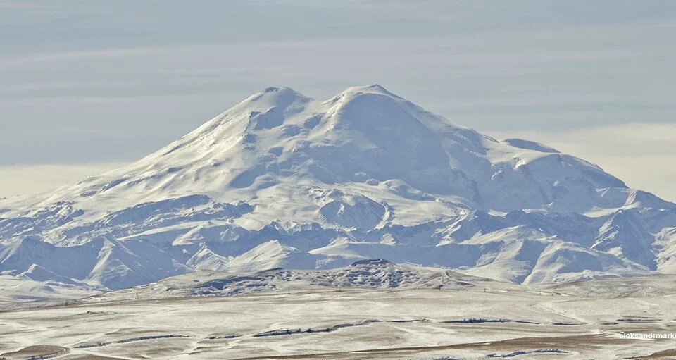
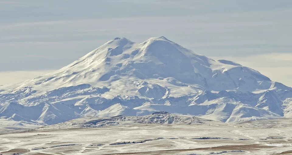
Mount Elbrus
Mount Elbrus is the highest mountain in Russia and Europe, soaring to 5,642 metres as the tenth-most topographically prominent peak on Earth and one of the Seven Summits. Situated in the Russian Caucasus near the Georgian border, this colossal dormant stratovolcano features two ice-capped volcanic domes separated by a high saddle at 5,416 metres. The eastern summit (5,621 m) was first climbed in 1829 by Circassian scout Killar Khashirov, while the true continental high point on the western summit (5,642 m) was conquered in 1874 by Florence Craufurd Grove, Frederick Gardiner, Horace Walker, Peter Knubel, and Balkar guide Ahiya Sottaev.
Documented Expeditions on this Route (2)
Verified historical summits, siege campaigns, and pioneer attempts recorded on Elbrus South Normal Route via Garabashi & Pastukhov Rocks.
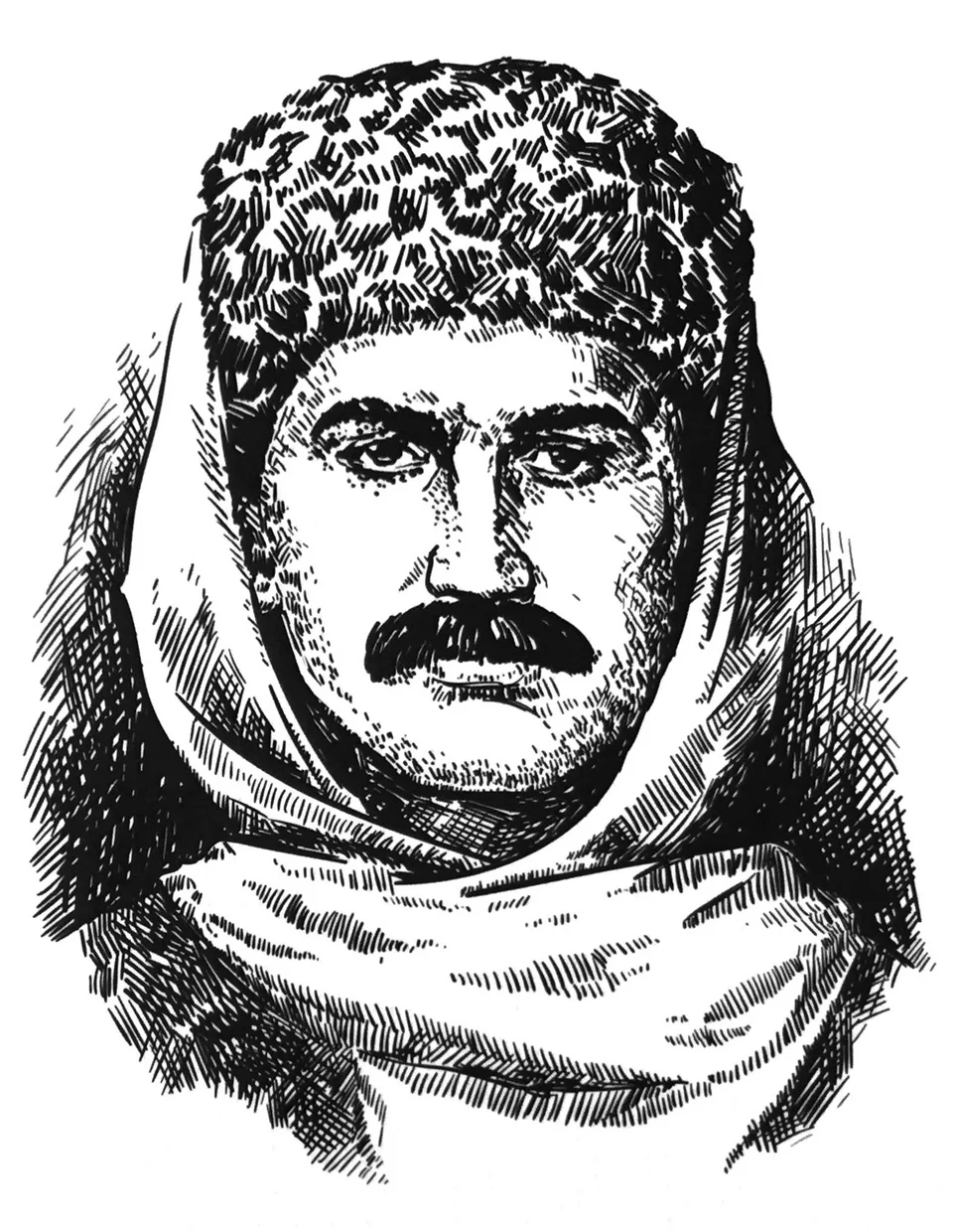
1829 General Georgi Emmanuel and Killar Khashirov Mount Elbrus Imperial Russian Scientific Expedition
On July 22, 1829, Circassian mountain scout Killar Khashirov achieved the historic maiden first ascent of Mount Elbrus East Peak (5,621 m). Leading the landmark scientific expedition organized by General Georgi Emmanuel for the Russian Imperial Academy of Sciences, Khashirov pressed solo through freezing blizzard winds to become the first human being to stand atop Europe's highest volcanic massif.
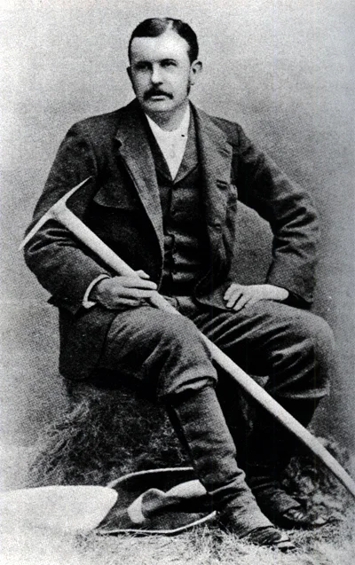
1874 Florence Craufurd Grove and Frederick Gardiner Mount Elbrus West Peak Historic First Ascent Expedition
On July 28, 1874, an elite British expedition led by Florence Craufurd Grove alongside Frederick Gardiner, Horace Walker, Swiss guide Peter Knubel, and Balkar guide Ahiya Sottaev completed the first ascent of Mount Elbrus West Peak (5,642 m), officially conquering the supreme continental high point of Europe.
Archival Chronicles & Stories on this Route (2)
In-depth longform historical narratives, harrowing survival accounts, and firsthand alpine journals on Elbrus South Normal Route via Garabashi & Pastukhov Rocks.
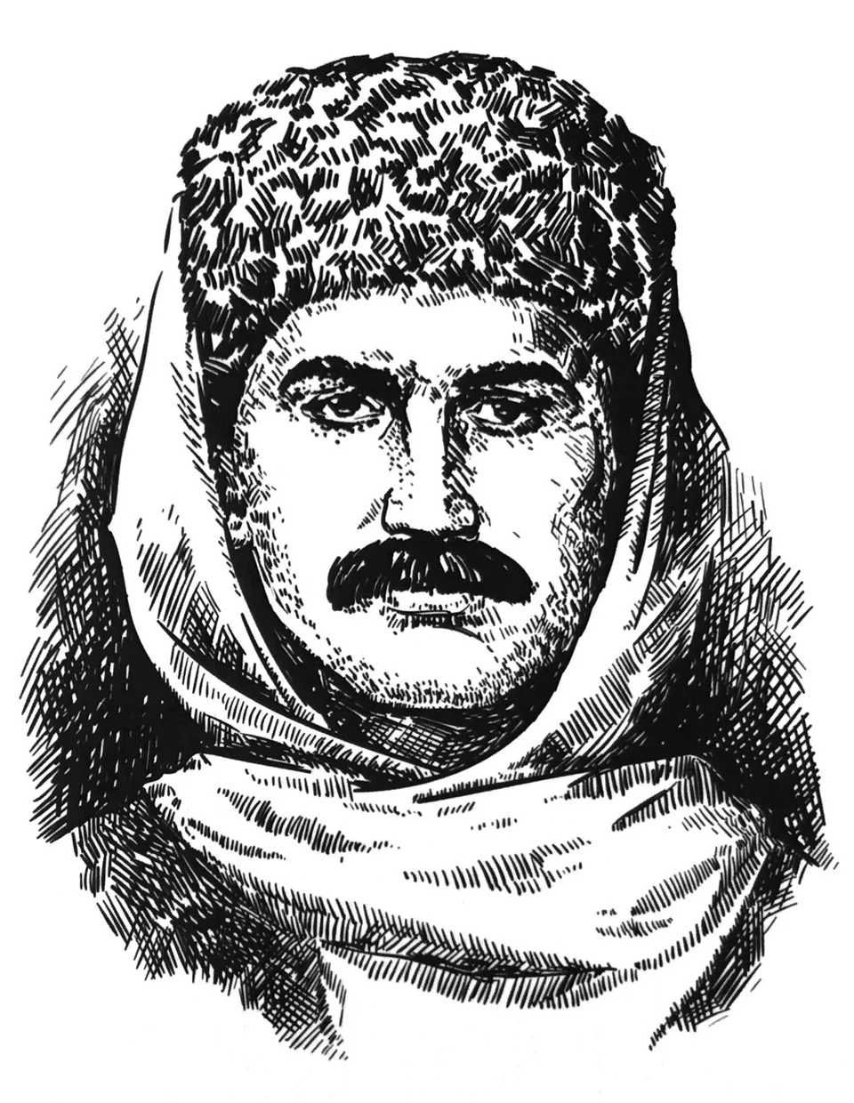
The Solitary Step: Killar Khashirov and the 1829 First Ascent of Mount Elbrus
On July 22, 1829, Circassian scout Killar Khashirov climbed solo through thin Arctic air to become the first human being to stand atop Mount Elbrus (5,621 m).
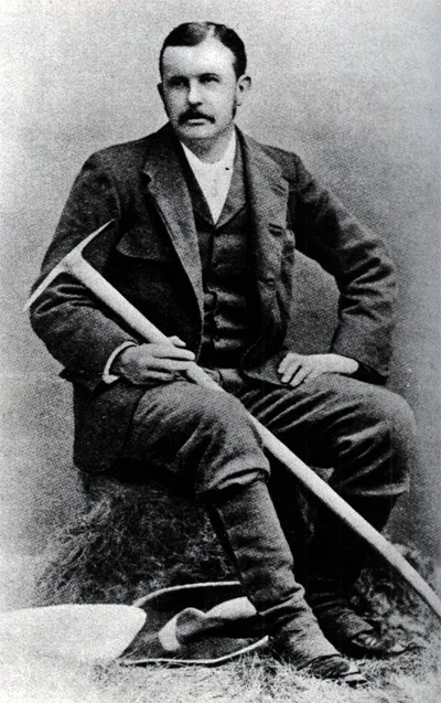
Conquering the Crown of Europe: The 1874 First Ascent of Mount Elbrus West Peak
On July 28, 1874, Florence Craufurd Grove, Frederick Gardiner, Horace Walker, Peter Knubel, and Ahiya Sottaev stood on Elbrus West Peak (5,642 m), conquering Europe's highest point.
Documented Sources & Archival Citations
- The Frosty Caucasus(Florence Craufurd Grove / Longmans, Green, and Co.)
Supporting claim: Firsthand technical route log of the 1874 first ascent
Accessed/Documented: 1875