Mount Kita Shiraneo & Dankan Chimney Route
The Shiraneo and Dankan Chimney Route is the classic climbing artery ascending Mount Kita from Hirogawara across the forested Okkanba valley to the alpine summit ridge. Traversing steep metamorphic moraines and technical rock ledges equipped with chains and timber ladders, the route climbs directly through the Shiraneo cirque beneath the soaring Kitadake Buttress.
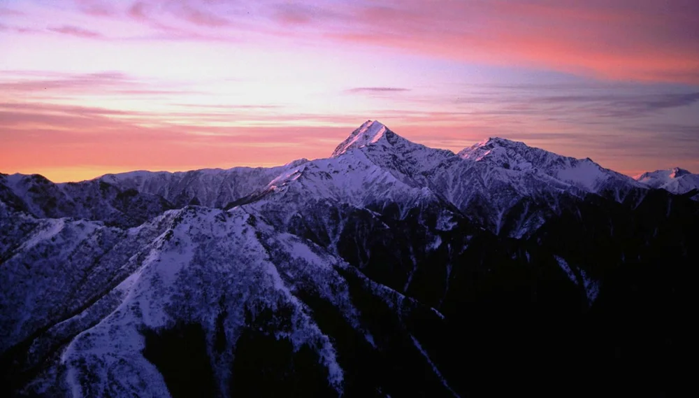
Ascent line, technical cruxes & camp topography profile for Mount Kita Shiraneo & Dankan Chimney Route
Mountain Safety & Conditions Disclaimer: High-altitude climbing, glacial travel, and technical ascents entail severe objective risks including avalanches, serac collapses, rapid weather collapse, and altitude illness. Historical route descriptions and summit claims on Mountanity reflect documented archival sources and must not be used as live operational safety assessments. Local regulations, permits, and physical glacial topography change continuously.
Peer Review: Senior Editorial Board & Historical Reviewers • Editorial Standards
Tactical & Camp Notes
Trailhead access via shuttle bus from Kofu or Nirasaki to Hirogawara trailhead in Minami Alps National Park.
Identified Objective Hazards
- •Sudden summer thunderstorms and violent lightning strikes along exposed high ridges
- •Loose rockfall in steep chimney passages, especially after heavy rains
- •Dense mountain fog (gas) obscuring trail markers across boulder fields
- •Rapid temperature drops and early autumn frost above 3,000 metres
Interactive Elevation Profile
Vertical profile, technical cruxes, and camp staging progression for Mount Kita Shiraneo & Dankan Chimney Route on Mount Kita / Kitadake.
Mountain transit lodge along the Noro River offering water supply, mountain rescue registration, and trail information.
Camp-by-Camp Topography
Key staging altitudes, technical cruxes, and terrain transitions for Mount Kita Shiraneo & Dankan Chimney Route.
Hirogawara Trailhead Base
Mountain transit lodge along the Noro River offering water supply, mountain rescue registration, and trail information.
Shiraneo Oike Hut
Alpine hut situated beside a pristine glacial tarn surrounded by subalpine fir forests.
Kitadake Kata-no-Koya Hut
High mountain refuge perched dramatically on the shoulder ridge beneath the summit crest.
Mount Kita Summit
The rocky summit apex of Kitadake, marked by a stone trigonometric survey pillar and panoramic vistas of Mount Fuji.
Topographic Location & Terrain Map
Cartographic datum, massif coordinates, and terrain context for Mount Kita Shiraneo & Dankan Chimney Route on Mount Kita / Kitadake.
Interactive Topographic Terrain Map
Click below to load live cartographic contours, glacier approaches, and geographic markers for Mount Kita / Kitadake (35°40′28″ N, 138°14′20″ E).
Key Statistics & Topographic Figures
- Route Type
- Alpine Ridge Ascent & Rocky Couloir Traverse
Topography
- Technical Difficulty
- Challenging Alpine Scramble / Grade II
Grade II scramble, fixed ladders, steep boulder couloirs
- Country / Region
- Japan (Akaishi Mountains, Yamanashi Prefecture)
Location
Archival Primary Source Quotations
“A mountain route is not merely a path of rock and ice; it is a test of human endurance, judgment, and humility.”
Defined Alpine Terminology & Concepts
- Crux
- The most difficult and technically demanding pitch or section of a climbing route.
- Normal Route (Voie Normale)
- The most frequently climbed, least technical, and historically standard path to a mountain summit.
Frequently Asked Questions: Mount Kita Shiraneo & Dankan Chimney Route
What is the climbing difficulty and grade of Mount Kita Shiraneo & Dankan Chimney Route?
Mount Kita Shiraneo & Dankan Chimney Route on mount-kita is graded as Challenging Alpine Scramble / Grade II, with technical climbing requirements including Grade II scramble, fixed ladders, steep boulder couloirs.
What are the primary hazards on the Mount Kita Shiraneo & Dankan Chimney Route?
Climbers on Mount Kita Shiraneo & Dankan Chimney Route must navigate severe objective hazards including Sudden summer thunderstorms and violent lightning strikes along exposed high ridges, Loose rockfall in steep chimney passages, especially after heavy rains, Dense mountain fog (gas) obscuring trail markers across boulder fields, Rapid temperature drops and early autumn frost above 3,000 metres.
What camps are established on Mount Kita Shiraneo & Dankan Chimney Route?
Mount Kita Shiraneo & Dankan Chimney Route typically features 4 staging camps, progressing from Hirogawara Trailhead Base (1520m) up toward the summit.
Mountain Ascended
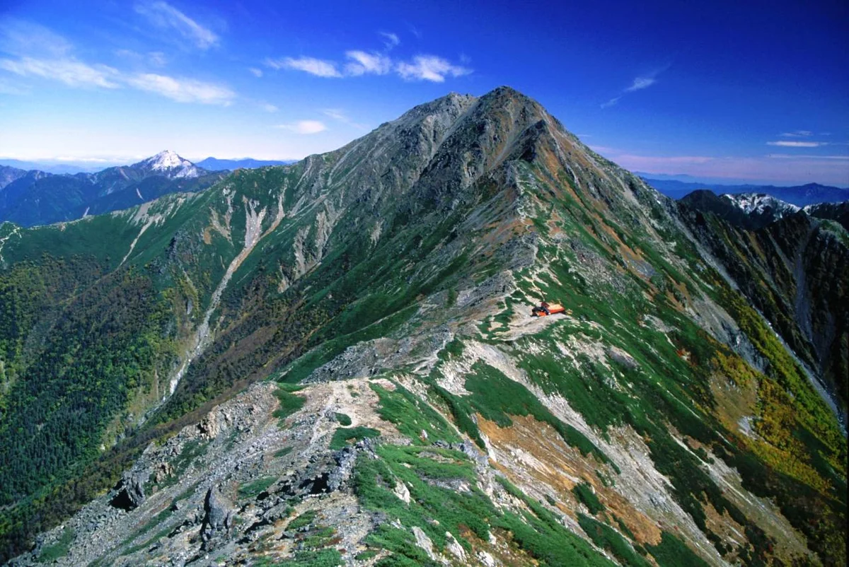

Mount Kita / Kitadake
Mount Kita, or Kitadake, is the second-highest peak in Japan at 3,193 metres (10,476 ft), standing proudly as the crown jewel of the Akaishi Mountains in Minami Alps National Park. Renowned for its sheer 600-metre east rock face (Kitadake Buttress)—one of Japan's most celebrated technical climbing arenas—and its rich endemism of rare alpine flowers (Kitadake-so), the mountain was explored in depth during the Meiji era by Reverend Walter Weston in 1902 and early members of the Japanese Alpine Club. The classic ascent follows the Shiraneo Dankan ridge from Hirogawara, providing breathtaking panoramas of Mount Fuji across the Kofu Basin.
Documented Expeditions on this Route (1)
Verified historical summits, siege campaigns, and pioneer attempts recorded on Mount Kita Shiraneo & Dankan Chimney Route.
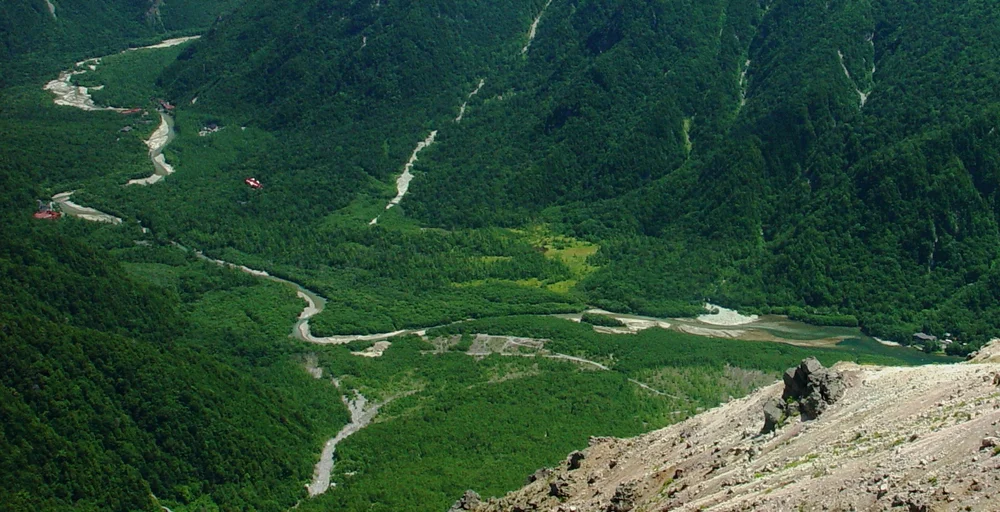
1905 Kojima Usui Mount Kita Traverse & Founding of the Japanese Alpine Club
In July 1905, literary pioneer Kojima Usui and fellow alpinists completed an exploratory traverse of Mount Kita (Kitadake, 3,193 m) in the Southern Japanese Alps, leading directly to the historic assembly in Tokyo on October 14, 1905, that founded the Sangaku-kai (Japanese Alpine Club).
Archival Chronicles & Stories on this Route (1)
In-depth longform historical narratives, harrowing survival accounts, and firsthand alpine journals on Mount Kita Shiraneo & Dankan Chimney Route.
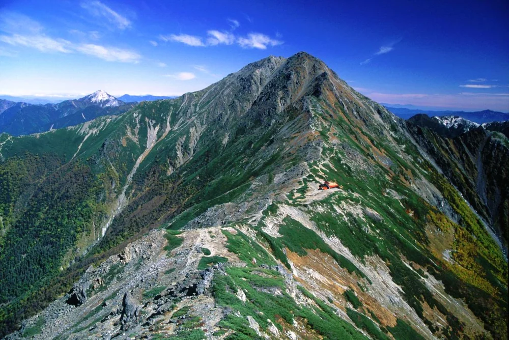
Birth of the Japanese Alpine Club: Kojima Usui and the Soul of Mount Kita
Kojima Usui traverses Mount Kita in the Southern Alps and rallies Japan's intellectual mountaineers to establish the Japanese Alpine Club in 1905.
Documented Sources & Archival Citations
- Yamanashi Alpine Trail Guide(Yamanashi Prefectural Forestry and Tourism Bureau)
Supporting claim: Technical topographical specifics and refuge layout on Mount Kita
Accessed/Documented: 2026