Mount Kita / Kitadake
Mount Kita, or Kitadake, is the second-highest peak in Japan at 3,193 metres (10,476 ft), standing proudly as the crown jewel of the Akaishi Mountains in Minami Alps National Park.
 Japan
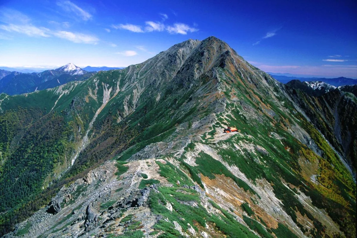
Mountain Safety & Conditions Disclaimer: High-altitude climbing, glacial travel, and technical ascents entail severe objective risks including avalanches, serac collapses, rapid weather collapse, and altitude illness. Historical route descriptions and summit claims on Mountanity reflect documented archival sources and must not be used as live operational safety assessments. Local regulations, permits, and physical glacial topography change continuously.
Peer Review: Senior Editorial Board & Historical Reviewers • Editorial Standards
Geographical Setting & Topography
Minami Alps National Park, Yamanashi Prefecture, Honshu, Japan.
Historic First Ascent
Date: 1871
Ascent Team: Naojiro Natori and local mountain guides (modern sporting ascent: Walter Weston, 1902)
Key Statistics & Topographic Figures
- Official Elevation
- 3,193 metres (10,476 ft)
- National Rank
- Second-Highest Mountain in Japan
- Prominence
- 824 metres
- Mountain Range
- Akaishi Mountains (Southern Japanese Alps)
- National Park
- Minami Alps National Park
Archival Primary Source Quotations
“Kitadake stands not with gentle volcanic slopes, but with towering ramparts of ancient stone, gazing straight across the morning mists into the face of Fuji.”
Defined Alpine Terminology & Concepts
- Kitadake Buttress
- A sheer 600-metre vertical wall of folded metamorphic rock rising directly out of the Shiraneo cirque on Mount Kita.
- Kitadake-so
- A critically rare, endemic alpine buttercup flower that blooms for only two weeks in June on Mount Kita's summit ridges.
Mount Kita / Kitadake Mountain Weather Forecast
Detailed 14-Day Summit Window & Weather Timeline
Explore day-by-day summit push safety windows, wind shear analysis, and extended multi-day forecasts for Mount Kita / Kitadake.
Explore Mount Kita / Kitadake (3,193 m) in Interactive 3D
Inspect steep glacial walls, hanging seracs, ridge approaches, and elevation relief with 360° rotation and terrain tilt in WebGL.
Documented Climbing Routes (1)
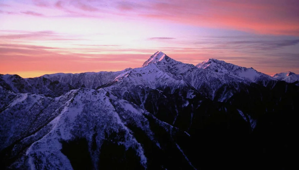
Mount Kita Shiraneo & Dankan Chimney Route
The Shiraneo and Dankan Chimney Route is the classic climbing artery ascending Mount Kita from Hirogawara across the forested Okkanba valley to the alpine summit ridge. Traversing steep metamorphic moraines and technical rock ledges equipped with chains and timber ladders, the route climbs directly through the Shiraneo cirque beneath the soaring Kitadake Buttress. Above the tree line, climbers navigate narrow rocky couloirs to reach the airy summit ridge at 3,193 metres, offering panoramic vistas across the entire Southern Alps and the volcanic cone of Mount Fuji.
Historical Expeditions (1)
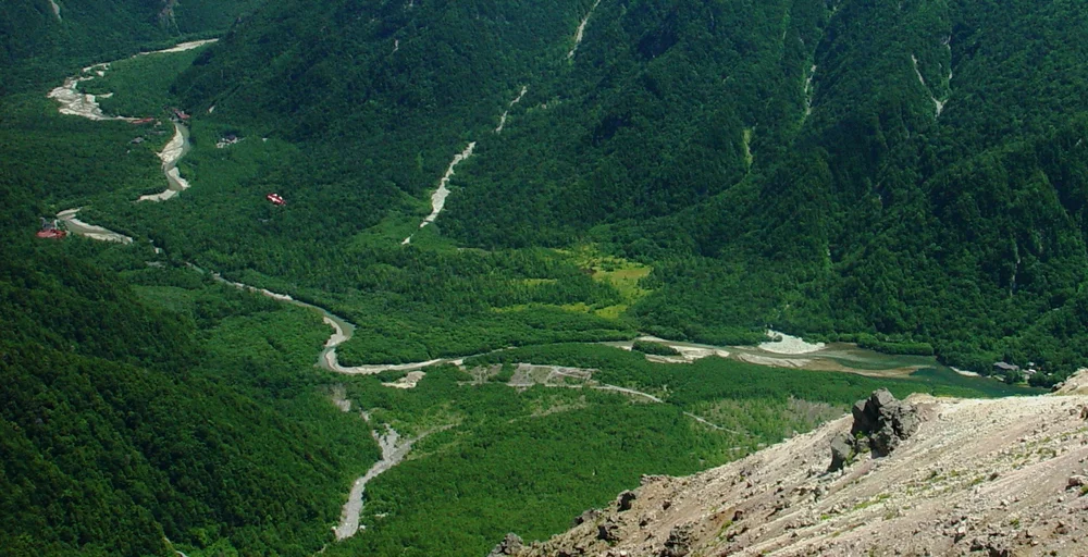
1905 Kojima Usui Mount Kita Traverse & Founding of the Japanese Alpine Club
In July 1905, literary pioneer Kojima Usui and fellow alpinists completed an exploratory traverse of Mount Kita (Kitadake, 3,193 m) in the Southern Japanese Alps, leading directly to the historic assembly in Tokyo on October 14, 1905, that founded the Sangaku-kai (Japanese Alpine Club).
Summit Chronicles & Stories (1)
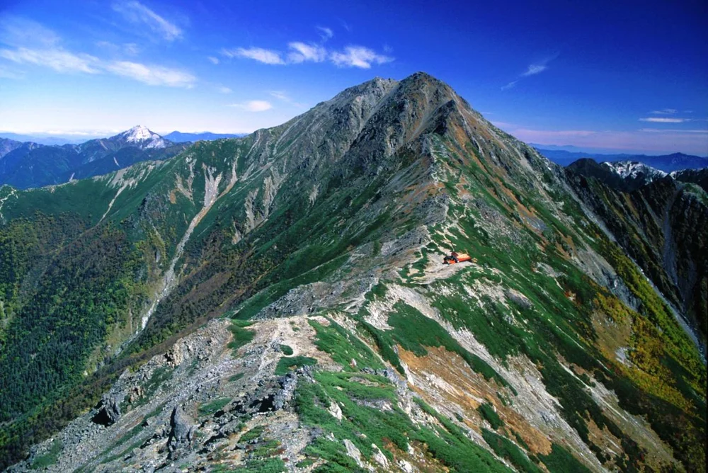
Birth of the Japanese Alpine Club: Kojima Usui and the Soul of Mount Kita
Kojima Usui traverses Mount Kita in the Southern Alps and rallies Japan's intellectual mountaineers to establish the Japanese Alpine Club in 1905.
Frequently Asked Questions: Mount Kita / Kitadake
What is Mount Kita and how high is it?
Mount Kita (Kitadake) is the second-highest mountain in Japan at 3,193 metres (10,476 ft), situated in the Akaishi Mountains of Yamanashi Prefecture.
What is the Kitadake Buttress?
A legendary 600-metre vertical rock face on Mount Kita's eastern flank, renowned as one of Japan's premier alpine rock-climbing arenas.
What rare flora is unique to Mount Kita?
The Kitadake-so (Callianthemum hondoense), an endemic white-flowered alpine buttercup that blooms exclusively on Mount Kita's high gravel ridges.
Documented Sources & Archival Citations
- Mountaineering and Exploration in the Japanese Alps(John Murray, London)
Supporting claim: Early topographic records and climbing accounts of Mount Kita
Accessed/Documented: 1896