Dufourspitze
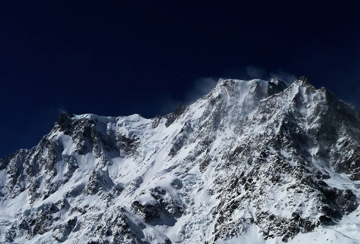
The Dufourspitze (4,634 m / 15,203 ft) is the highest peak in Switzerland and the second-highest summit in the Alps, surpassed only by Mont Blanc. It forms the crowning summit of the Monte Rosa massif, a vast fortress of Pennine granite straddling the Swiss-Italian border above Zermatt and Gressoney.


Mountain Safety & Conditions Disclaimer: High-altitude climbing, glacial travel, and technical ascents entail severe objective risks including avalanches, serac collapses, rapid weather collapse, and altitude illness. Historical route descriptions and summit claims on Mountanity reflect documented archival sources and must not be used as live operational safety assessments. Local regulations, permits, and physical glacial topography change continuously.
Peer Review: Senior Editorial Board & Historical Reviewers • Editorial Standards
Geographical Setting & Topography
Pennine Alps, forming the highest summit of the Monte Rosa massif above Zermatt to the north and Gressoney-la-Trinité to the south. Adjacent major summits include the Nordend (4,609 m) and Zumsteinspitze (4,563 m) within the same massif.
Historic First Ascent
Date: August 1, 1855
Ascent Team: J.G. Smyth, C. Smyth, Edward John Stevenson, Christopher and John Smyth (UK) guided by Matthäus Zumtaugwald, Ulrich Lauener, Johann Biner, Stephan Biner, and Johann Zumtaugwald
Key Statistics & Topographic Figures
- Elevation
- 4,634 m (15,203 ft) — Switzerland's Highest Peak
- Prominence
- 2,165 m (7,103 ft)
- First Ascent
- August 1, 1855 (Smyth party)
- Massif
- Monte Rosa (Pennine Alps)
Archival Primary Source Quotations
“Standing upon the granite crest of the Dufourspitze, all Switzerland lies unfolded beneath your feet.”
Defined Alpine Terminology & Concepts
- Dufour Map
- The first national topographical map series of Switzerland, completed between 1845 and 1865 under General Dufour.
- Grenzgletscher
- A major tributary glacier of the Gorner Glacier system flowing between the Dufourspitze and Liskamm.
Dufourspitze Mountain Weather Forecast
Detailed 14-Day Summit Window & Weather Timeline
Explore day-by-day summit push safety windows, wind shear analysis, and extended multi-day forecasts for Dufourspitze.
Explore Dufourspitze (4,634 m) in Interactive 3D
Inspect steep glacial walls, hanging seracs, ridge approaches, and elevation relief with 360° rotation and terrain tilt in WebGL.
Historical Expeditions (1)
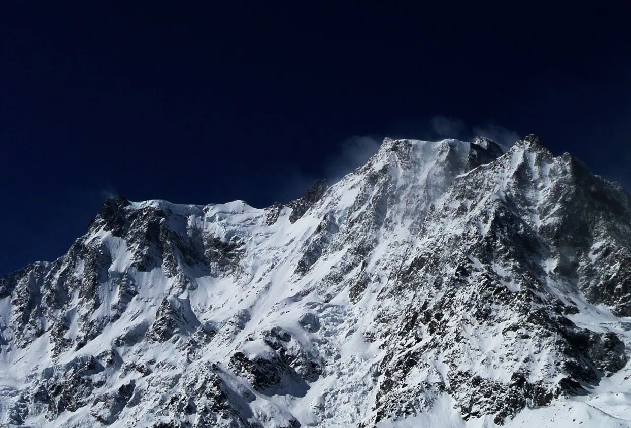
1855 Smyth Brothers Dufourspitze Monte Rosa First Ascent
On August 1, 1855 — eight years before the Matterhorn and a decade before the peak of the Golden Age — a British team of five led by the brothers J.G. and C. Smyth with Zermatt guides Matthäus Zumtaugwald and Ulrich Lauener completed the first ascent of the Dufourspitze, the highest summit in Switzerland and the second-highest peak in the Alps.
Summit Chronicles & Stories (1)
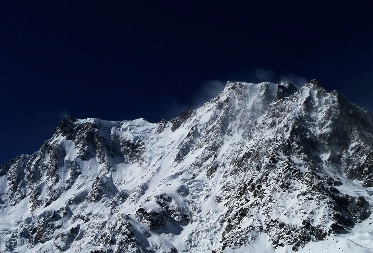
Crowning Monte Rosa: The 1855 First Ascent of Switzerland Highest Peak
On August 1, 1855, the Smyth brothers and pioneering Valais guides conquered the icy labyrinth of the Grenzgletscher and west ridge to complete the first ascent of the Dufourspitze, the highest summit in Switzerland.
Frequently Asked Questions: Dufourspitze
What is the Dufourspitze?
The Dufourspitze (4,634 m / 15,203 ft) is the highest mountain summit in Switzerland and the second-highest peak in the entire Alps.
When was the Dufourspitze first summited?
The Dufourspitze was first climbed on August 1, 1855, by a British-Swiss party led by John and Christopher Smyth with guide Ulrich Lauener.
What mountain massif does the Dufourspitze belong to?
The Dufourspitze is the crowning peak of the Monte Rosa massif in the Pennine Alps, straddling the Swiss-Italian frontier.
Who was the Dufourspitze named after?
The peak is named in honor of Swiss General Guillaume-Henri Dufour, the pioneering cartographer who created the historic Dufour Map.
What is the normal climbing route up the Dufourspitze?
The classic Swiss route ascends from the Monte Rosa Hut across the Grenzgletscher and the west ridge (graded AD-).
How high is the Dufourspitze compared to Mont Blanc?
At 4,634 m, the Dufourspitze is second only to Mont Blanc (4,808 m), exceeding all other summits in Western Europe.
What dramatic east face drops from Monte Rosa?
The Macugnaga East Face of Monte Rosa drops 2,400 metres into Italy, the highest continuous mountain wall in the Alps.
What hut serves as the base for the Dufourspitze?
The high-tech Monte Rosa Hut (2,883 m), renowned for its timber crystal architecture and solar energy, serves as base camp.
Documented Sources & Archival Citations
- The Alpine Journal: First Ascent of Monte Rosa (Dufourspitze)(The Alpine Club, London)
Supporting claim: Official Alpine Club historical records of the August 1, 1855 first ascent of the Dufourspitze by the Smyth brothers
Accessed/Documented: 2026 - The Pennine Alps West: A Climber's Guide(Robin Collomb / Alpine Club Guidebooks)
Supporting claim: Technical and historical information on the Dufourspitze, its routes, and the Monte Rosa massif
Accessed/Documented: 2026 - Swisstopo: Swiss Federal Office of Topography — Monte Rosa(Swiss Federal Council)
Supporting claim: Official topographic elevation data for the Dufourspitze and Monte Rosa massif
Accessed/Documented: 2026