Owen-Spalding Route (Grand Teton)
The Owen-Spalding route is the historic normal route to the summit of Grand Teton, pioneering the first documented ascent of the mountain on August 11, 1898.
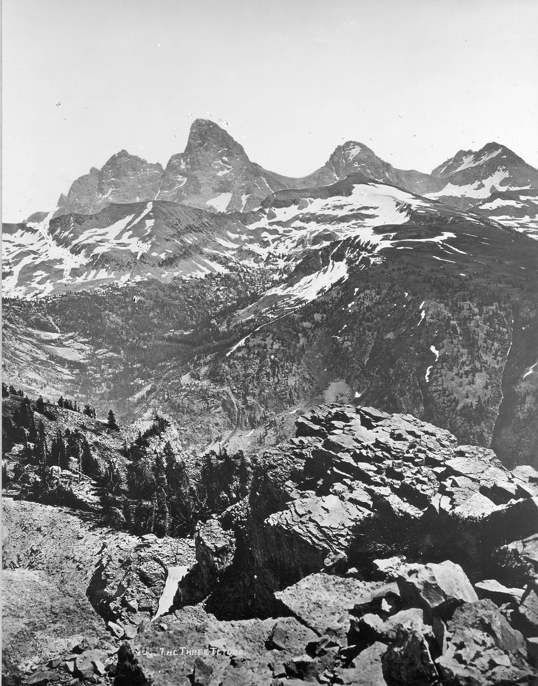
Ascent line, technical cruxes & camp topography profile for Owen-Spalding Route (Grand Teton)
Mountain Safety & Conditions Disclaimer: High-altitude climbing, glacial travel, and technical ascents entail severe objective risks including avalanches, serac collapses, rapid weather collapse, and altitude illness. Historical route descriptions and summit claims on Mountanity reflect documented archival sources and must not be used as live operational safety assessments. Local regulations, permits, and physical glacial topography change continuously.
Peer Review: Senior Editorial Board & Historical Reviewers • Editorial Standards
Tactical & Camp Notes
Beginning at Lupine Meadows Trailhead (2,050 m), climbers ascend the Garnet Canyon switchbacks past the Platforms to the volcanic black dike of the Lower Saddle (3,535 m). Above the Lower Saddle, the route ascends steep scree and scrambles through the Central Gully to the Upper Saddle (3,990 m). The technical pitches begin with the exposed shelf of the Belly Roll, squeeze through the narrow tunnel of The Crawl, surmount the steep jams of The Wall (Double Chimney), and scramble up the Owen Chimney onto the summit ridge.
Interactive Elevation Profile
Vertical profile, technical cruxes, and camp staging progression for Owen-Spalding Route (Grand Teton) on Grand Teton.
The historic staging trailhead near Jenny Lake where all Teton mountaineering campaigns begin.
Camp-by-Camp Topography
Key staging altitudes, technical cruxes, and terrain transitions for Owen-Spalding Route (Grand Teton).
Lupine Meadows Trailhead
The historic staging trailhead near Jenny Lake where all Teton mountaineering campaigns begin.
The Meadows (Garnet Canyon)
A boulder-strewn glacial basin tucked beneath Middle Teton and Disappointment Peak.
Lower Saddle High Camp
Windswept high alpine col between Middle Teton and Grand Teton hosting the historic Exum camp and park ranger hut.
Grand Teton Summit
Exposed, narrow granite and gneiss summit block offering 360-degree vistas across Wyoming, Idaho, and Montana.
Topographic Location & Terrain Map
Cartographic datum, massif coordinates, and terrain context for Owen-Spalding Route (Grand Teton) on Grand Teton.
Interactive Topographic Terrain Map
Click below to load live cartographic contours, glacier approaches, and geographic markers for Grand Teton (43°44′28″ N, 110°48′08″ W).
Key Statistics & Topographic Figures
- Technical Difficulty
- YDS 5.4 / French III / UIAA IV-
- Commitment Grade
- Grade II Alpine Rock Climb
- Elevation Gain
- 2,130 metres (7,000 feet)
- First Ascent Date
- August 11, 1898
- First Ascent Team
- Franklin Spalding, William Owen, Frank Petersen, John Shive
Archival Primary Source Quotations
“As I swung out around the Belly Roll with three thousand feet of Idaho air beneath my boots, I knew we would reach the summit or perish.”
Defined Alpine Terminology & Concepts
- Belly Roll
- A famous protruding granite rib on the Owen-Spalding Route where climbers must slide on their stomachs while gripping a narrow lip above thousands of feet of space.
- The Crawl
- A cramped, 18-inch-wide rock shelf tucked beneath a low overhanging roof on the west face of Grand Teton.
Frequently Asked Questions: Owen-Spalding Route (Grand Teton)
What is the Owen-Spalding Route on the Grand Teton?
The Owen-Spalding Route is the historic normal climbing route to the summit of Grand Teton, first scaled on August 11, 1898, and graded YDS 5.4 or French III.
What are the famous technical cruxes on the Owen-Spalding Route?
The route features the Belly Roll ledge, the tight tunnel of The Crawl, and the physical climbing crux of The Wall (Double Chimney), a 60-foot vertical rock cleft.
Where does the Owen-Spalding Route begin and what is its elevation gain?
The climb begins at Lupine Meadows Trailhead (2,050 m) near Jenny Lake, gaining 2,130 metres (7,000 feet) over 14 miles round trip via Garnet Canyon and the Lower Saddle.
Is the Owen-Spalding Route suitable for beginner mountaineers?
While technically moderate at 5.4, the route possesses extreme exposure, requires rope handling and rappelling skills, and demands respect due to sudden alpine storms and rockfall.
How do climbers descend from the summit on the Owen-Spalding Route?
Climbers typically make two airy rappels (a 120-foot free-hanging rappel from the Upper Saddle) or reverse the Owen Chimney and Double Chimney back to the Upper Saddle.
What is the best season to climb the Owen-Spalding Route?
The optimal climbing season is from mid-July through early September, when winter snow has melted from the west face ledges and chimneys.
Who unlocked the crux pitch on the 1898 first ascent?
Episcopal missionary bishop Franklin Spencer Spalding climbed the sheer pitch of The Wall unroped in heavy socks, lowering a rope to assist William Owen and companions.
Do climbers typically complete the route in one day or camp overnight?
Many climbers camp at the Lower Saddle (3,535 m) to stage an early morning summit push, though conditioned climbers frequently complete it car-to-car in 10 to 14 hours.
Mountain Ascended
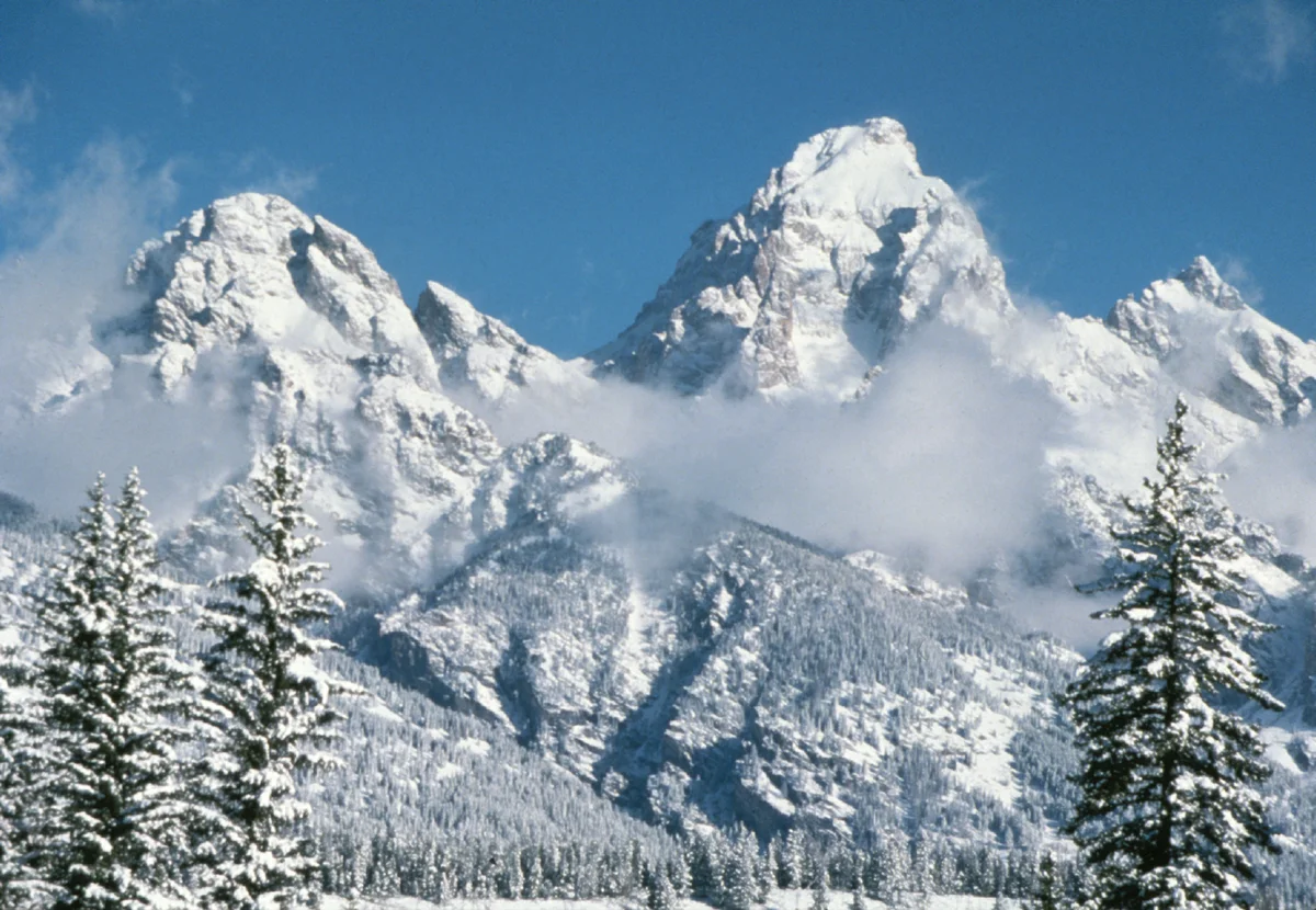

Grand Teton
Grand Teton is a world-famous, razor-sharp granite and gneiss peak rising abruptly to an elevation of 4,199 metres in Grand Teton National Park in northwestern Wyoming. As the highest summit in the Teton Range and the second highest peak in Wyoming, it towers more than 7,000 vertical feet above the sagebrush flats of Jackson Hole without intervening foothills. It is celebrated across mountaineering history as the birthplace of modern American technical rock climbing and client-centered mountain guiding.
Documented Expeditions on this Route (2)
Verified historical summits, siege campaigns, and pioneer attempts recorded on Owen-Spalding Route (Grand Teton).
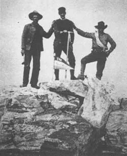
1898 Owen-Spalding Grand Teton First Documented Ascent
On August 11, 1898, Franklin Spencer Spalding, William Otis Owen, Frank Petersen, and John Shive completed the first documented climb of the Grand Teton, overcoming the sheer pitch of The Wall.
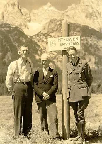
1932 Miriam Underhill Grand Teton Guideless Traverse
In August 1932, feminist alpine pioneer Miriam O'Brien Underhill and Robert Underhill completed a landmark guideless campaign across the Grand Teton and Teton Range.
Archival Chronicles & Stories on this Route (2)
In-depth longform historical narratives, harrowing survival accounts, and firsthand alpine journals on Owen-Spalding Route (Grand Teton).
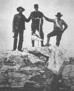
Conquest of the Cathedral: The 1898 First Ascent of the Grand Teton
On August 11, 1898, Franklin Spencer Spalding, William Otis Owen, Frank Petersen, and John Shive completed the first documented climb of the Grand Teton. Overcoming the sheer, dizzying pitch of The Wall, the party planted the American flag on the summit of Wyoming's most iconic granite spire.
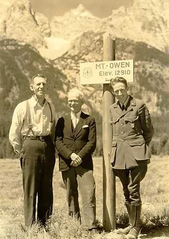
Guideless on the Cathedral: Miriam Underhill's 1932 Grand Teton Campaign
In August 1932, feminist alpine pioneer Miriam O'Brien Underhill and Robert Underhill carried their refined European rope craft to the Teton Range. Operating as an independent, egalitarian team, they completed a pioneering guideless traverse of the Grand Teton, redefining American women's mountaineering.
Documented Sources & Archival Citations
- A Climber's Guide to the Teton Range(Leigh Ortenburger and Reynold G. Jackson / The Mountaineers Books)
Supporting claim: Detailed pitch-by-pitch breakdown and history of the Owen-Spalding ascent
Accessed/Documented: 2026 - Ascent of the Grand Teton (Outing Magazine, 1901)(William O. Owen)
Supporting claim: First-hand archival account of the 1898 first ascent team
Accessed/Documented: 2026