Antisana Normal Route (Central Glacier)
A serious, heavily crevassed glacier route navigating broken icefalls, towering seracs, and hidden bergschrunds on Antisana's southern slopes. Demanding advanced crevasse rescue skills and steep 50° firn climbing, the route surmounts intricate ice ramps to gain the main summit dome at 5,753 metres.
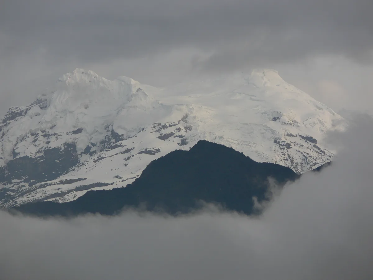
Ascent line, technical cruxes & camp topography profile for Antisana Normal Route (Central Glacier)
Mountain Safety & Conditions Disclaimer: High-altitude climbing, glacial travel, and technical ascents entail severe objective risks including avalanches, serac collapses, rapid weather collapse, and altitude illness. Historical route descriptions and summit claims on Mountanity reflect documented archival sources and must not be used as live operational safety assessments. Local regulations, permits, and physical glacial topography change continuously.
Peer Review: Senior Editorial Board & Historical Reviewers • Editorial Standards
Tactical & Camp Notes
Ascents typically begin from a base camp near Laguna Santa Lucía (4,500 m). The route ascends moraines to enter the fractured Central Glacier at 4,800 metres. The primary crux is navigating a labyrinth of gaping crevasses and towering serac walls that shift continuously under equatorial thermal cycles. After winding through the icefall, climbers tackle a 50-degree firn headwall to gain the upper plateau between the southern and main summits. A final rising traverse across wind-scoured ice leads to the highest point at 5,753 metres.
Interactive Elevation Profile
Vertical profile, technical cruxes, and camp staging progression for Antisana Normal Route (Central Glacier) on Antisana.
Picturesque highland lake camp positioned beneath Antisana's glaciated southern flanks.
Camp-by-Camp Topography
Key staging altitudes, technical cruxes, and terrain transitions for Antisana Normal Route (Central Glacier).
Laguna Santa Lucía Base Camp
Picturesque highland lake camp positioned beneath Antisana's glaciated southern flanks.
Central Glacier High Camp
Tent camp positioned on rock slabs beside the heavily fractured lower glacier margin.
Antisana Main Summit
Wind-carved ice dome offering panoramic vistas stretching eastward into the Amazon basin.
Topographic Location & Terrain Map
Cartographic datum, massif coordinates, and terrain context for Antisana Normal Route (Central Glacier) on Antisana.
Interactive Topographic Terrain Map
Click below to load live cartographic contours, glacier approaches, and geographic markers for Antisana (0°28′52″ S, 78°08′29″ W).
Key Statistics & Topographic Figures
- Technical Grade
- AD (50° Firn, Complex Crevasse Navigation)
- Elevation Gain
- 1,253 m (from base camp)
- Summit Altitude
- 5,753 m (Main summit dome)
- Route Character
- Fractured Glacial Icefall & Upper Snowfields
Archival Primary Source Quotations
“On Antisana, one must listen to the ice: every serac and snow bridge tells a story of constant equatorial movement.”
Defined Alpine Terminology & Concepts
- Equatorial Serac Maze
- A heavily fractured glacial labyrinth formed where rapid equatorial solar ablation fractures steep ice cascades.
Frequently Asked Questions: Antisana Normal Route (Central Glacier)
What makes the Central Glacier on Antisana challenging?
The route winds through a complex maze of shifting seracs, bottomless crevasses, and a steep 50-degree firn headwall requiring expert icecraft.
Who pioneered the Central Glacier route on Antisana?
Edward Whymper, Louis Carrel, and Jean-Antoine Carrel pioneered the route on March 10, 1880.
What is the typical base camp for Antisana's normal route?
Climbers establish base camp near Laguna Santa Lucía at 4,500 metres before moving up to a high glacier bivy at 4,900 metres.
Mountain Ascended
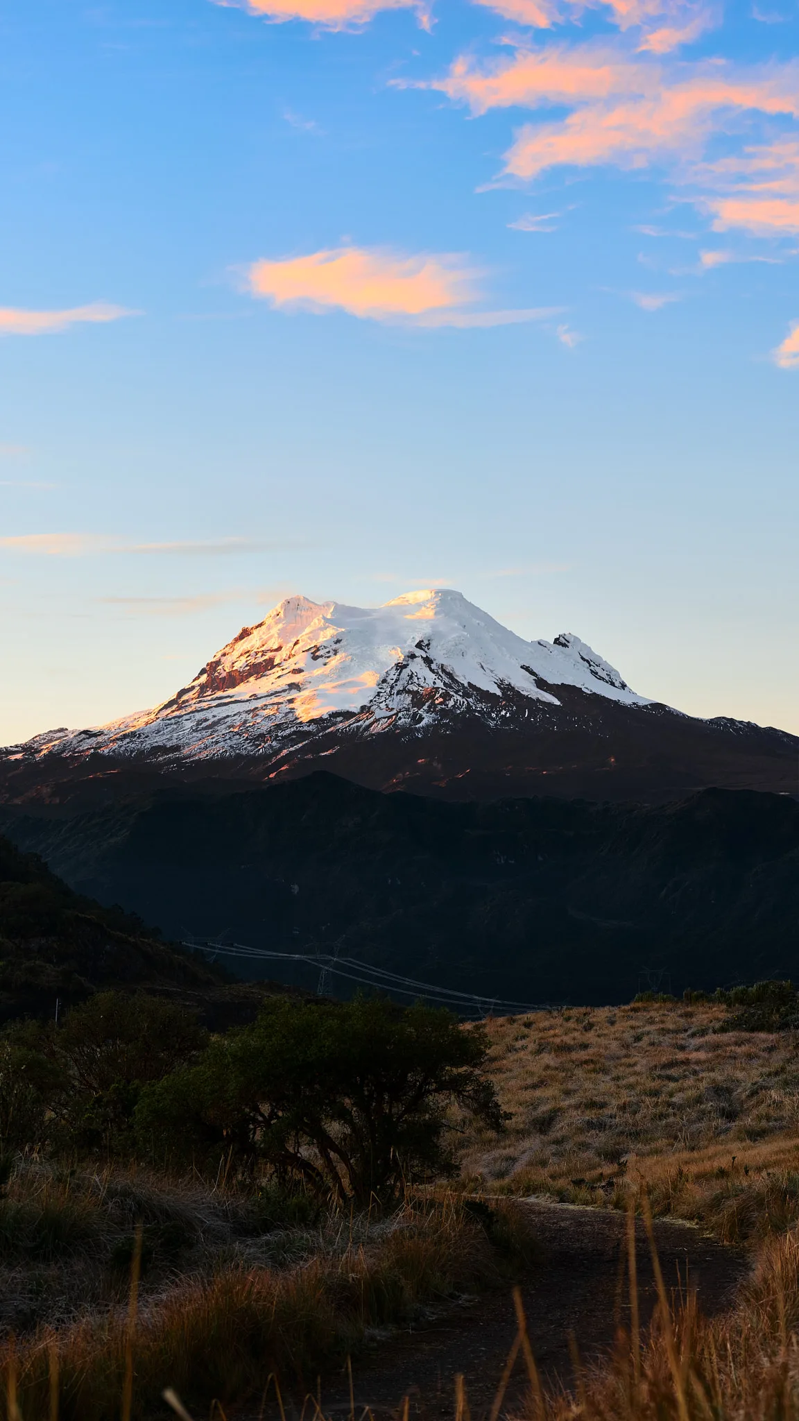
Antisana
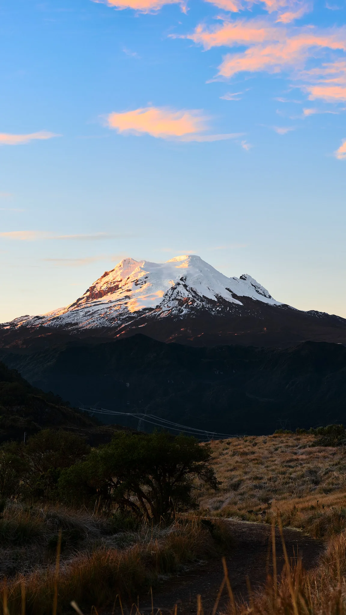
Volcán Antisana is an imposing, heavily glaciated 5,753-metre stratovolcano in the Cordillera Real of Ecuador, renowned for its complex glacier maze, massive seracs, and yawning crevasse fields. Widely recognized as one of the most technically demanding volcanic massifs in the northern Andes, Antisana was first climbed on March 10, 1880, by Edward Whymper, Louis Carrel, and Jean-Antoine Carrel. In 1906, pioneering Ecuadorian polymath Nicolás Martínez led the first national ascent, cementing modern Ecuadorian alpinism.
Documented Expeditions on this Route (2)
Verified historical summits, siege campaigns, and pioneer attempts recorded on Antisana Normal Route (Central Glacier).
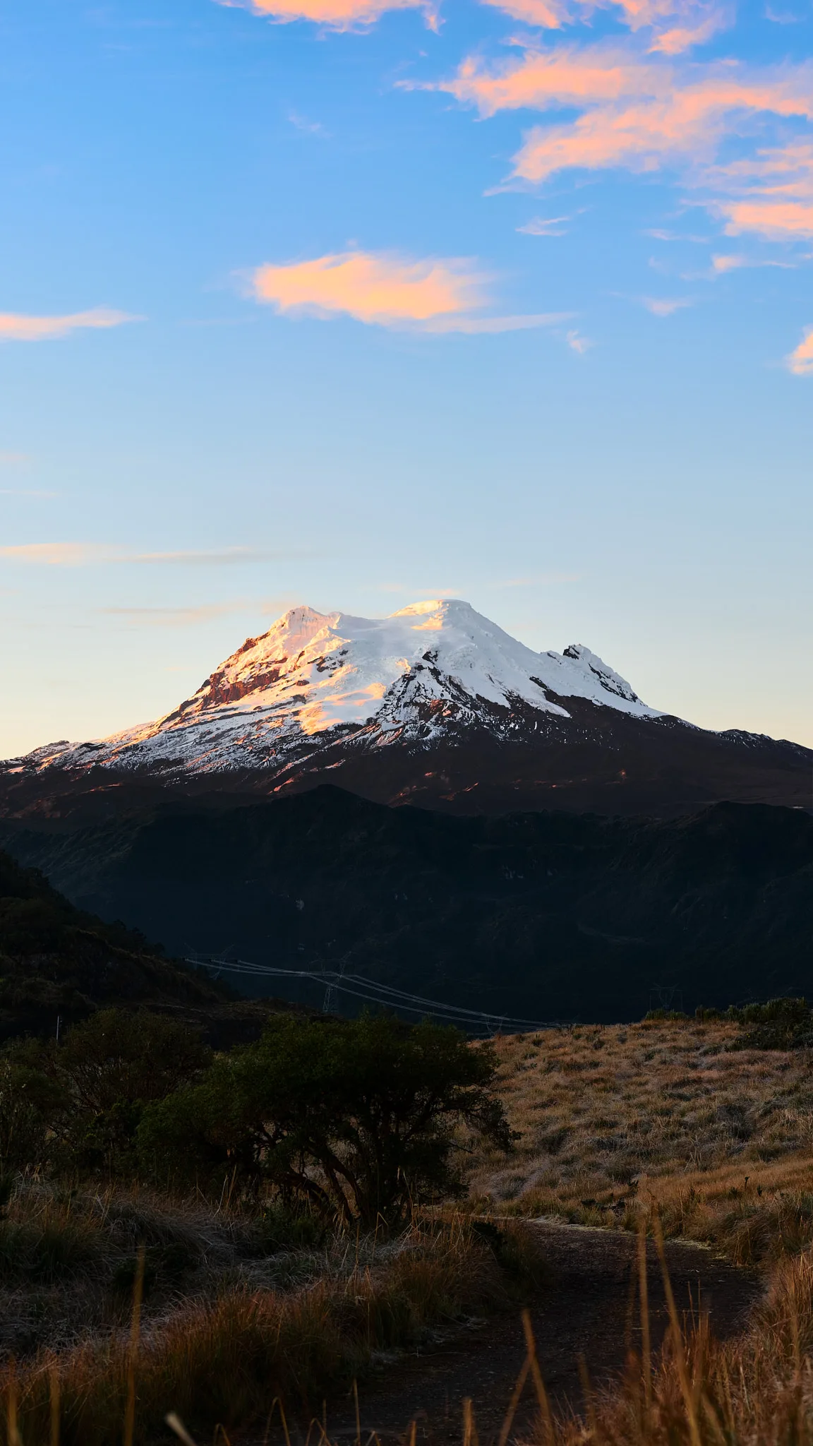
1880 Edward Whymper and Carrel Brothers Antisana Historic First Ascent Expedition
On March 10, 1880, Edward Whymper alongside Val Tournanche alpine guides Louis Carrel and Jean-Antoine Carrel achieved the historic first ascent of Volcán Antisana (5,753 m). Overcoming a treacherous maze of yawning crevasses and steep firn headwalls, the team unlocked one of the most technically formidable glaciated volcanic massifs in the northern Andes.
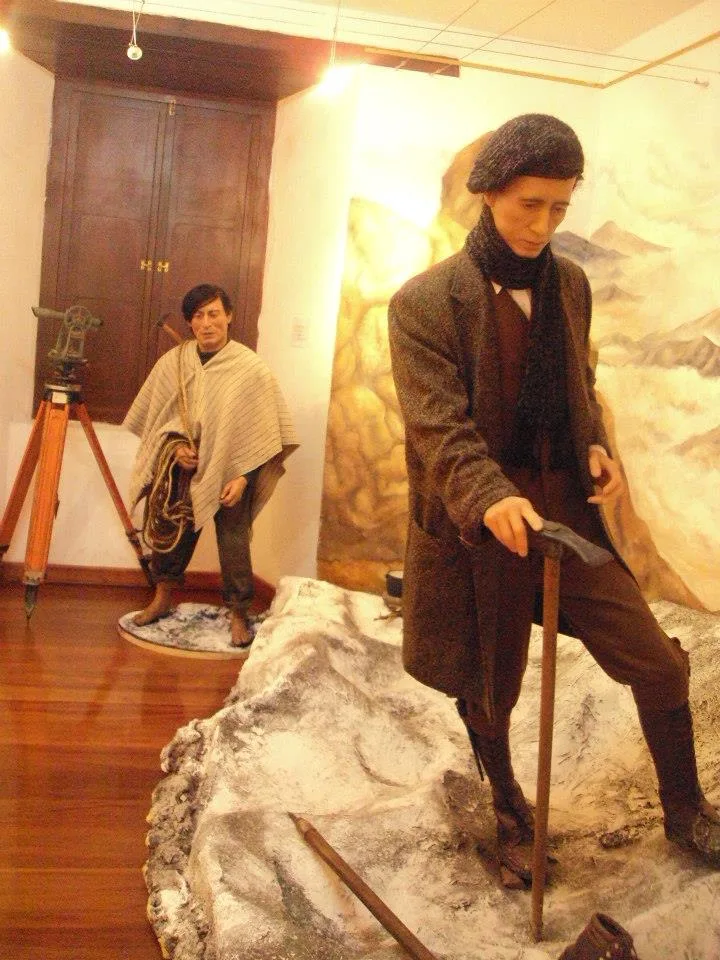
1906 Nicolás Martínez Antisana Historic First Ecuadorian Ascent Expedition
On March 15, 1906, Ecuadorian polymath and explorer Nicolás Martínez led the first national ascent of Volcán Antisana (5,753 m) alongside Ecuadorian companions. Negotiating the complex southern glaciers without foreign guides, Martínez established national self-reliance in the high Andes and inaugurated modern Ecuadorian mountaineering.
Archival Chronicles & Stories on this Route (2)
In-depth longform historical narratives, harrowing survival accounts, and firsthand alpine journals on Antisana Normal Route (Central Glacier).
Labyrinth of the Condor: Whymper and the Carrels on Antisana in 1880
On March 10, 1880, Edward Whymper and Italian guides Louis Carrel and Jean-Antoine Carrel made the historic first ascent of Volcán Antisana (5,753 m), conquering its formidable maze of crevasses and icefalls.
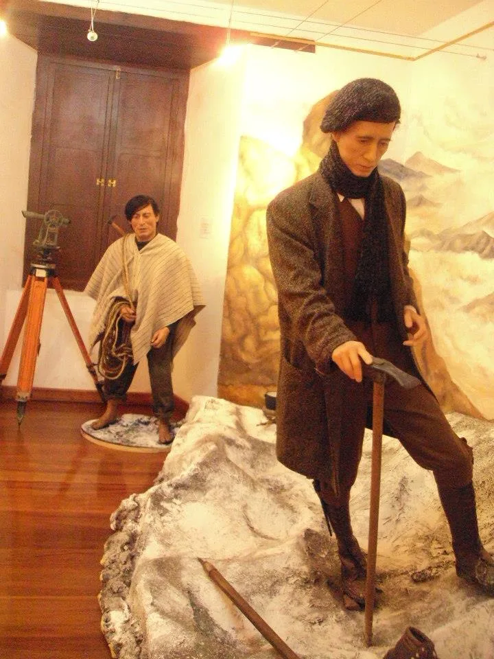
National Awakening: Nicolás Martínez and the 1906 Ascent of Antisana
On March 15, 1906, Ecuadorian polymath Nicolás Martínez led the first national ascent of Volcán Antisana (5,753 m), establishing domestic self-reliance and founding modern Ecuadorian mountaineering.
Documented Sources & Archival Citations
- Travels Amongst the Great Andes of the Equator(Edward Whymper / John Murray)
Supporting claim: Firsthand technical route description of the 1880 ascent through the crevasse maze
Accessed/Documented: 1892 - Ecuador: A Climbing Guide(Yossi Brain / The Mountaineers Books)
Supporting claim: Detailed route notes and crevasse hazard analysis for Antisana
Accessed/Documented: 2000