Southeast Ridge (Standard Route)
The Southeast Ridge of Chogolisa (7,665m) ascends from the upper Chogolisa Glacier, scaling steep ice couloirs to gain the elegant, wind-sculpted snow arête leading toward the summit. First explored in 1909 by the Duke of the Abruzzi to 7,498 meters, attempted in alpine style in 1957 by Hermann Buhl and Kurt Diemberger, and first summited on August 4, 1958, by Fred Pressl and Adolf Bräunlich.
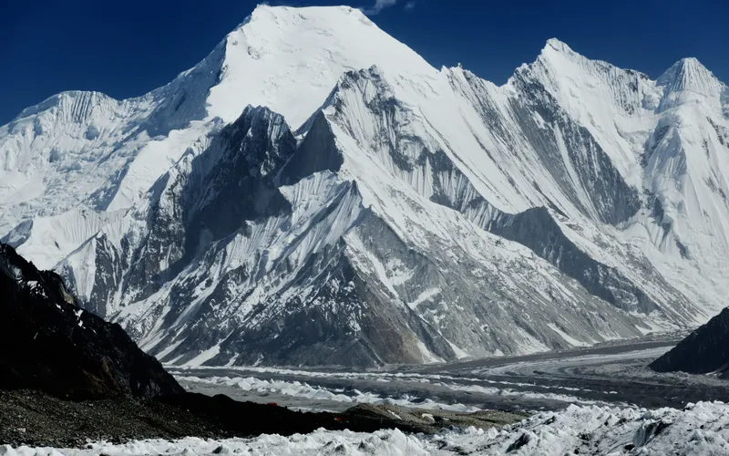
Ascent line, technical cruxes & camp topography profile for Southeast Ridge (Standard Route)
Mountain Safety & Conditions Disclaimer: High-altitude climbing, glacial travel, and technical ascents entail severe objective risks including avalanches, serac collapses, rapid weather collapse, and altitude illness. Historical route descriptions and summit claims on Mountanity reflect documented archival sources and must not be used as live operational safety assessments. Local regulations, permits, and physical glacial topography change continuously.
Peer Review: Senior Editorial Board & Historical Reviewers • Editorial Standards
Tactical & Camp Notes
While free of extreme vertical rock cruxes, the Southeast Ridge presents treacherous navigational hazards in bad weather. Wind-sculpted snow cornices overhang the sheer North Face, making precise ridge adherence vital during storms.
Identified Objective Hazards
- •Treacherous overhanging snow cornices that can collapse without warning during whiteouts
- •Sudden, violent Karakoram storms bringing blizzard conditions and rapid temperature plunges
- •Crevasse danger along the upper Chogolisa Glacier approach
- •High-altitude pulmonary and cerebral risks in the thin air above 7,000 meters
Historical Context
In 1909, Prince Luigi Amedeo reached 7,498m here, setting a world altitude record. In June 1957, Hermann Buhl fell to his death when a cornice gave way during an alpine-style retreat with Kurt Diemberger.
Interactive Elevation Profile
Vertical profile, technical cruxes, and camp staging progression for Southeast Ridge (Standard Route) on Chogolisa.
Located on the lateral moraine of the Chogolisa Glacier, accessed from Concordia via the upper Baltoro.
Camp-by-Camp Topography
Key staging altitudes, technical cruxes, and terrain transitions for Southeast Ridge (Standard Route).
Base Camp
Located on the lateral moraine of the Chogolisa Glacier, accessed from Concordia via the upper Baltoro.
Camp I
Established on the upper glacier terrace beneath the lower ice slopes of the ridge.
Camp II
Pitched on a protected snow shelf directly beneath the ridge crest col.
Camp III
Perched on an exposed snow shoulder above 6,800 meters, serving as the high assault platform.
Upper Ridge to Summit
A long, exposed knife-edge snow arête flanking massive cornices to the 7,665m true summit.
Topographic Location & Terrain Map
Cartographic datum, massif coordinates, and terrain context for Southeast Ridge (Standard Route) on Chogolisa.
Interactive Topographic Terrain Map
Click below to load live cartographic contours, glacier approaches, and geographic markers for Chogolisa (35°36′46″ N, 76°34′26″ E).
Key Statistics & Topographic Figures
- Route Type
- Ridge Traverse & Snow Arête
Topography
- Technical Difficulty
- Demanding Alpine Grade IV, 50° Snow & Cornices
Alpine AD+/D, sustained 45°–55° snow slopes, heavily corniced ridges
- Country / Region
- Pakistan (Gilgit-Baltistan / Baltoro Muztagh)
Location
Archival Primary Source Quotations
“A mountain route is not merely a path of rock and ice; it is a test of human endurance, judgment, and humility.”
Defined Alpine Terminology & Concepts
- Crux
- The most difficult and technically demanding pitch or section of a climbing route.
- Normal Route (Voie Normale)
- The most frequently climbed, least technical, and historically standard path to a mountain summit.
Frequently Asked Questions: Southeast Ridge (Standard Route)
What is the climbing difficulty and grade of Southeast Ridge (Standard Route)?
Southeast Ridge (Standard Route) on chogolisa is graded as Demanding Alpine Grade IV, 50° Snow & Cornices, with technical climbing requirements including Alpine AD+/D, sustained 45°–55° snow slopes, heavily corniced ridges.
What are the primary hazards on the Southeast Ridge (Standard Route)?
Climbers on Southeast Ridge (Standard Route) must navigate severe objective hazards including Treacherous overhanging snow cornices that can collapse without warning during whiteouts, Sudden, violent Karakoram storms bringing blizzard conditions and rapid temperature plunges, Crevasse danger along the upper Chogolisa Glacier approach, High-altitude pulmonary and cerebral risks in the thin air above 7,000 meters.
What camps are established on Southeast Ridge (Standard Route)?
Southeast Ridge (Standard Route) typically features 5 staging camps, progressing from Base Camp (4900m) up toward the summit.
Mountain Ascended
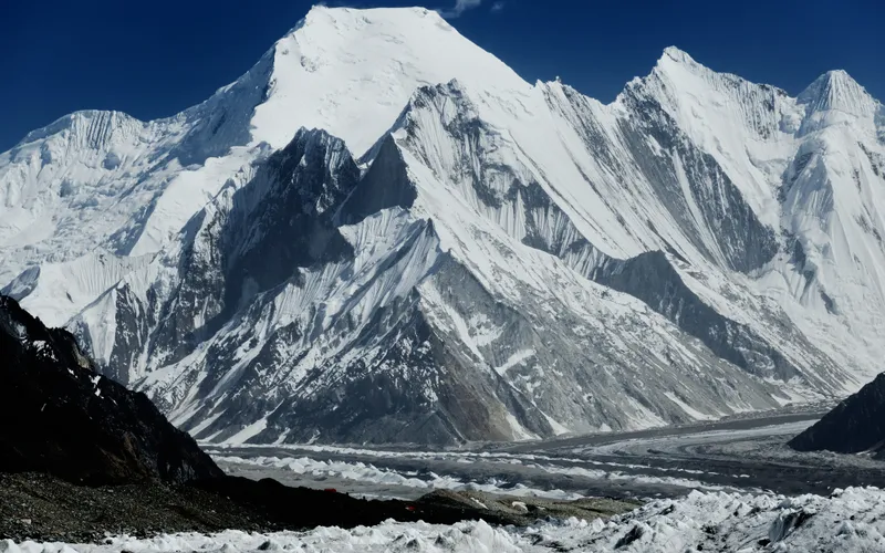

Chogolisa
Chogolisa, standing at 7,665 meters (25,148 ft) in the Karakoram range of Pakistan, is renowned as Bride Peak for its broad, graceful snow-draped profile. Located south of Concordia and the Baltoro Glacier, it features two prominent summits connected by a sweeping knife-edge snow ridge. In 1909, the Duke of the Abruzzi set a world altitude record on its slopes, and in 1957, it became the site of alpine pioneer Hermann Buhl's fatal cornice fall.
Documented Expeditions on this Route (2)
Verified historical summits, siege campaigns, and pioneer attempts recorded on Southeast Ridge (Standard Route).
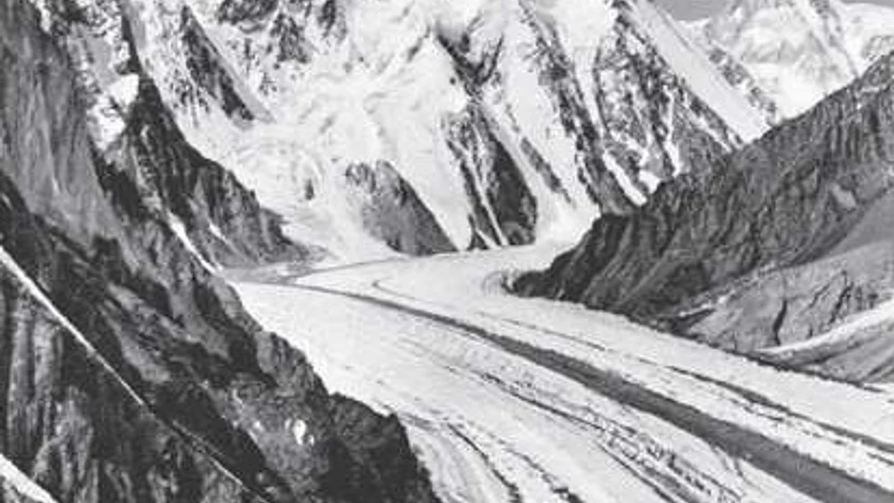
1909 Duke of the Abruzzi Karakoram Expedition
The monumental 1909 Italian expedition led by Prince Luigi Amedeo, Duke of the Abruzzi, accompanied by master photographer Vittorio Sella, that surveyed K2, discovered and pioneered the Abruzzi Spur, and established a world altitude record of 7,498 meters on Chogolisa.
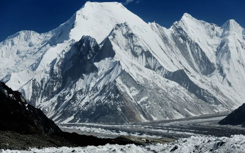
1957 Austrian Chogolisa Alpine Expedition
The lightweight two-man alpine-style push on Chogolisa (7,665m) by Hermann Buhl and Kurt Diemberger, ending in a severe blizzard retreat and Buhl's fatal cornice fall.
Archival Chronicles & Stories on this Route (2)
In-depth longform historical narratives, harrowing survival accounts, and firsthand alpine journals on Southeast Ridge (Standard Route).
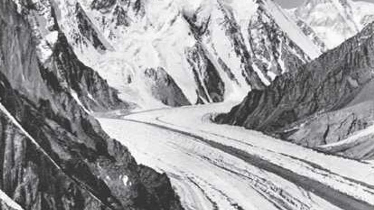
K2 1909: The Duke of the Abruzzi, Vittorio Sella, and the Genesis of the Abruzzi Spur
In 1909, Prince Luigi Amedeo, Duke of the Abruzzi, and master photographer Vittorio Sella mounted a monumental expedition into the Karakoram, unlocking the secrets of K2, naming the Abruzzi Spur, and setting a world altitude record of 7,498m on Chogolisa.
1957 Chogolisa: Hermann Buhl's Final Alpine Frontier
The poignant chronicle of Hermann Buhl and Kurt Diemberger's lightweight alpine attempt on Chogolisa and the tragic summit cornice fall.
Documented Sources & Archival Citations
- Summits and Secrets(Kurt Diemberger / Hodder & Stoughton)
Supporting claim: Account of the 1957 alpine bid and description of the Southeast Ridge terrain
Accessed/Documented: 1971 - Karakoram and Western Himalaya 1909(Filippo de Filippi / Edward Arnold)
Supporting claim: Pioneering route reconnaissance and altitude record documentation
Accessed/Documented: 1912