Chimborazo Normal Route (Whymper Route)
The Whymper Route follows the western ridges and glacier flanks of Chimborazo past the landmark rock buttress of El Castillo. Climbers ascend steep 40°-50° firn and penitentes before traversing expansive upper ice fields to reach Cumbre Veintimilla (6,230 m) and finally Cumbre Whymper at 6,263 metres.
Ascent line, technical cruxes & camp topography profile for Chimborazo Normal Route (Whymper Route)
Mountain Safety & Conditions Disclaimer: High-altitude climbing, glacial travel, and technical ascents entail severe objective risks including avalanches, serac collapses, rapid weather collapse, and altitude illness. Historical route descriptions and summit claims on Mountanity reflect documented archival sources and must not be used as live operational safety assessments. Local regulations, permits, and physical glacial topography change continuously.
Peer Review: Senior Editorial Board & Historical Reviewers • Editorial Standards
Tactical & Camp Notes
Starting from the Whymper Refuge at 5,000 metres (or Carrel Refuge at 4,800 m), climbers navigate rocky scree up to the landmark rock buttress known as El Castillo at 5,350 metres. From here, crampons are donned to tackle steep firn ramps (40°-50°) threading between rock islands and serac terraces. Above 5,800 metres, the route enters the vast glaciated saddle, traversing high-altitude penitente fields before conquering the secondary summit of Cumbre Veintimilla (6,230 m). A gentle 30-minute glacier traverse across the high plateau leads to the highest point on Earth from its center: Cumbre Whymper at 6,263 metres.
Interactive Elevation Profile
Vertical profile, technical cruxes, and camp staging progression for Chimborazo Normal Route (Whymper Route) on Chimborazo.
Accessible mountain refuge situated on the southwestern flank of Chimborazo.
Camp-by-Camp Topography
Key staging altitudes, technical cruxes, and terrain transitions for Chimborazo Normal Route (Whymper Route).
Carrel Refuge
Accessible mountain refuge situated on the southwestern flank of Chimborazo.
Whymper Refuge
Historic high refuge positioned directly below the trail to El Castillo.
El Castillo Ridge
Prominent rock formation marking the transition from rock moraines to the upper glacier.
Cumbre Whymper Summit
Highest summit of Chimborazo, representing Earth's closest surface point to the Sun.
Topographic Location & Terrain Map
Cartographic datum, massif coordinates, and terrain context for Chimborazo Normal Route (Whymper Route) on Chimborazo.
Interactive Topographic Terrain Map
Click below to load live cartographic contours, glacier approaches, and geographic markers for Chimborazo (1°28′09″ S, 78°49′03″ W).
Key Statistics & Topographic Figures
- Technical Grade
- AD (45°–50° Firn, Glacier Crevasses)
- Elevation Gain
- 1,463 m (from Carrel/Whymper Refuges)
- Crux Section
- Firn ramps past El Castillo (5,350 m)
- Summit Altitude
- 6,263 m (20,548 ft)
Archival Primary Source Quotations
“Cutting steps above El Castillo, every blow of the axe rang sharp against hard firn under an icy canopy of equatorial stars.”
Defined Alpine Terminology & Concepts
- El Castillo Buttress
- A distinctive dark volcanic rock outcrop at 5,350 m on Chimborazo marking the transition from rock moraines to the upper glaciated route.
Frequently Asked Questions: Chimborazo Normal Route (Whymper Route)
What is the technical difficulty of the Whymper Route on Chimborazo?
The route is graded AD, involving 45°–50° snow and firn climbing, high-altitude crevasse navigation, and exposure to severe winds up to 6,263 metres.
What are the key milestones along the Whymper Route?
Key points include the Whymper Refuge (5,000 m), El Castillo rock formation (5,350 m), Cumbre Veintimilla (6,230 m), and the true summit Cumbre Whymper (6,263 m).
How long does the summit day take on the Whymper Route?
Climbers typically leave high camp at 11:00 PM to midnight, requiring 7 to 9 hours of ascent and 3 to 4 hours of descent to avoid afternoon rockfall.
Mountain Ascended
Chimborazo
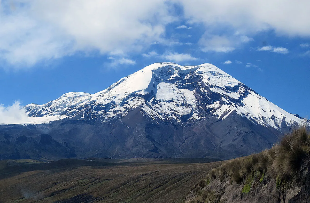
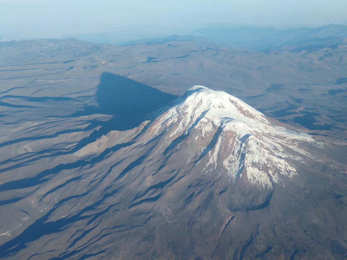
Nevado Chimborazo is a colossal 6,263-metre glaciated stratovolcano in the Cordillera Occidental of Ecuador. Because Earth is an oblate spheroid with an equatorial bulge, Chimborazo's summit is the furthest terrestrial point from the center of the Earth (6,384.4 km), making it the closest place on the planet's surface to the Sun. Renowned in exploration history, it was attempted by Alexander von Humboldt in 1802 and finally summited on January 4, 1880, by Edward Whymper alongside Val Tournanche alpine guides Louis Carrel and Jean-Antoine Carrel.
Documented Expeditions on this Route (2)
Verified historical summits, siege campaigns, and pioneer attempts recorded on Chimborazo Normal Route (Whymper Route).
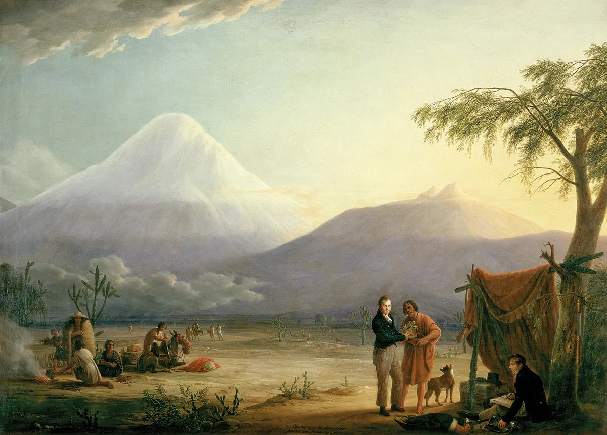
1802 Alexander von Humboldt Chimborazo World Altitude Record Expedition
On June 23, 1802, Prussian naturalist Alexander von Humboldt, French botanist Aimé Bonpland, and Ecuadorian nobleman Carlos Montúfar reached 5,878 metres on Chimborazo. Overcoming altitude sickness, freezing gales, and sheer rock precipices without modern alpine gear, they set a world altitude record that stood for thirty years.
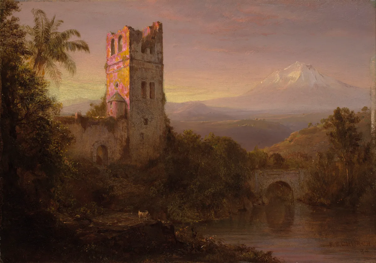
1880 Edward Whymper and Carrel Brothers Chimborazo Historic First Ascent Expedition
On January 4, 1880, British mountaineer Edward Whymper alongside legendary Italian guides Louis Carrel and Jean-Antoine Carrel completed the historic first ascent of Chimborazo (6,263 m). Navigating steep firn, seracs, and debilitating mountain sickness, they stood atop Earth's closest surface point to the Sun, completing a masterwork of nineteenth-century alpinism.
Archival Chronicles & Stories on this Route (2)
In-depth longform historical narratives, harrowing survival accounts, and firsthand alpine journals on Chimborazo Normal Route (Whymper Route).
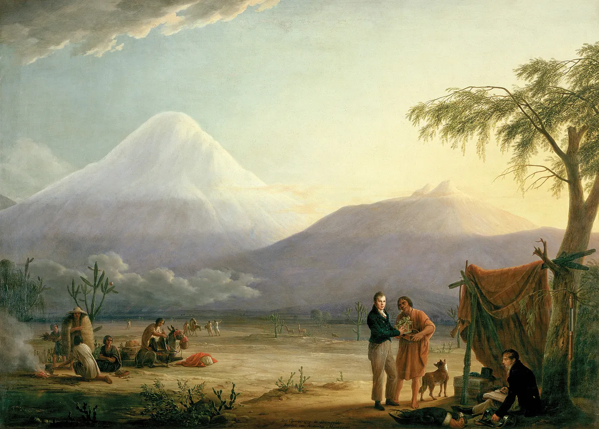
To the Edge of the Sky: Humboldt's 1802 Chimborazo Altitude Record
On June 23, 1802, Prussian polymath Alexander von Humboldt, botanist Aimé Bonpland, and Carlos Montúfar climbed to 5,878 metres on Chimborazo, setting a 30-year world altitude record and founding modern ecological science.
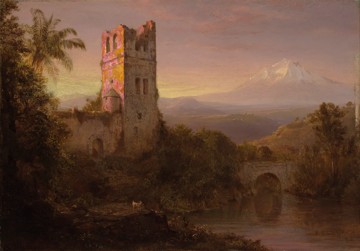
King of the Andes: Whymper and the Carrels Conquer Chimborazo in 1880
On January 4, 1880, legendary British climber Edward Whymper and Italian guides Louis Carrel and Jean-Antoine Carrel conquered Chimborazo (6,263 m), standing upon Earth's closest surface point to the Sun.
Documented Sources & Archival Citations
- Travels Amongst the Great Andes of the Equator(Edward Whymper / John Murray)
Supporting claim: Firsthand technical route description of the 1880 ascent
Accessed/Documented: 1892 - Ecuador: A Climbing Guide(Yossi Brain / The Mountaineers Books)
Supporting claim: Comprehensive modern route guide for the Whymper Route on Chimborazo
Accessed/Documented: 2000