Chimborazo
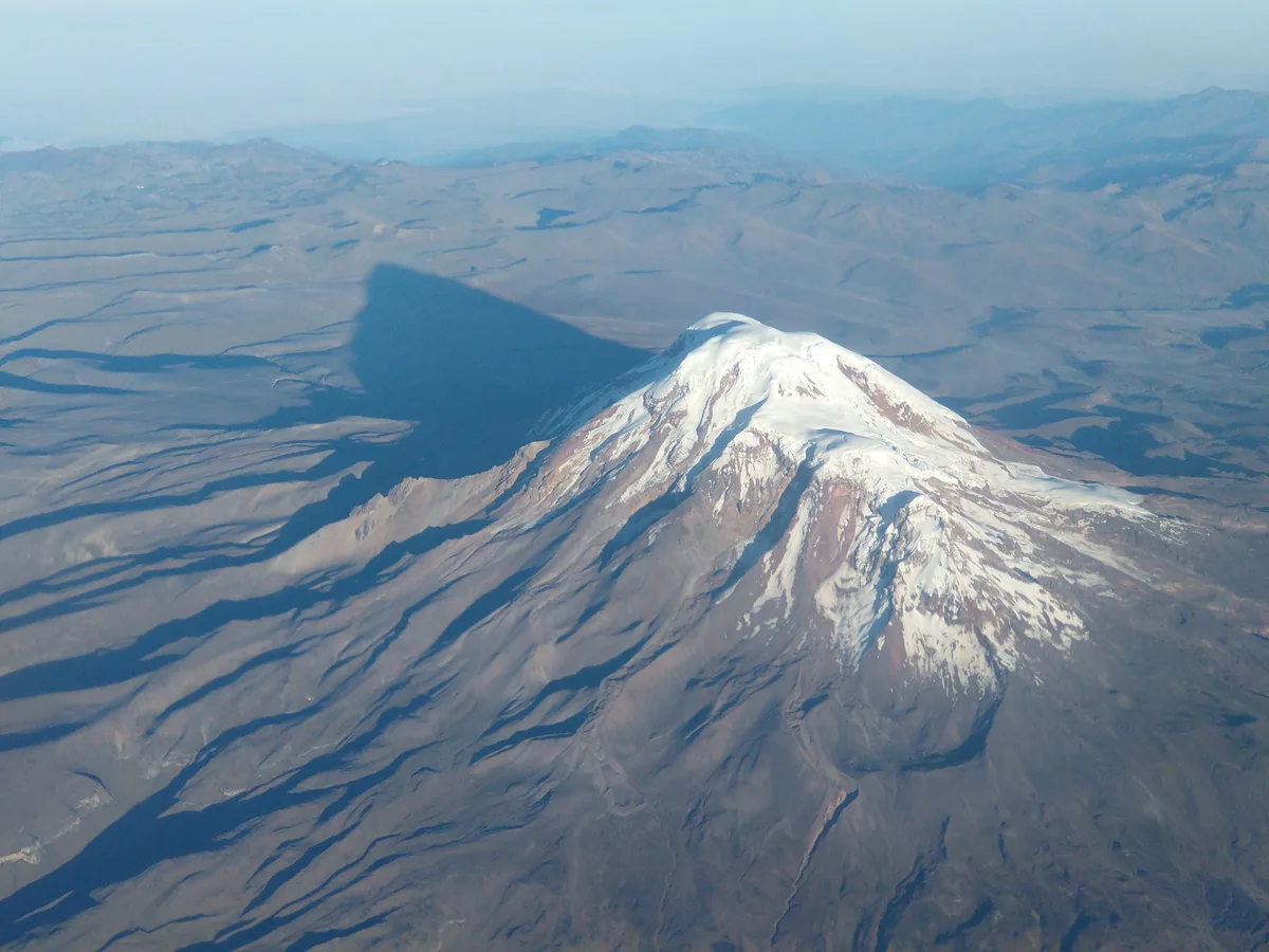
Nevado Chimborazo is a colossal 6,263-metre glaciated stratovolcano in the Cordillera Occidental of Ecuador. Because Earth is an oblate spheroid with an equatorial bulge, Chimborazo's summit is the furthest terrestrial point from the center of the Earth (6,384.
Mountain Safety & Conditions Disclaimer: High-altitude climbing, glacial travel, and technical ascents entail severe objective risks including avalanches, serac collapses, rapid weather collapse, and altitude illness. Historical route descriptions and summit claims on Mountanity reflect documented archival sources and must not be used as live operational safety assessments. Local regulations, permits, and physical glacial topography change continuously.
Peer Review: Senior Editorial Board & Historical Reviewers • Editorial Standards
Geographical Setting & Topography
Anchored in central Ecuador southwest of Quito, Chimborazo dominates the western Cordillera with over 4,120 metres of topographic prominence. Its colossal summit massif contains multiple distinct peaks—including Cumbre Whymper (6,263 m) and Cumbre Veintimilla (6,230 m)—blanketed in massive equatorial glaciers that feed river systems draining toward both the Pacific Ocean and the Amazon River.
Historic First Ascent
Date: 1880-01-04
Ascent Team: Edward Whymper, Louis Carrel, and Jean-Antoine Carrel
Key Statistics & Topographic Figures
- Summit Elevation
- 6,263 m (20,548 ft)
- Topographic Prominence
- 4,123 m (Ultra-prominent peak)
- Distance from Earth Center
- 6,384.4 km (Maximum on Earth)
- First Ascent
- January 4, 1880 (Whymper, L. Carrel, J.A. Carrel)
- Mountain Type
- Extinct Stratovolcano / Colossal Ice Dome
Archival Primary Source Quotations
“Standing upon Chimborazo, one is closer to the celestial bodies than any human being can reach with their feet planted on solid earth.”
Defined Alpine Terminology & Concepts
- Cumbre Whymper
- The highest peak (6,263 m) of the colossal Chimborazo massif, named in honour of first ascensionist Edward Whymper.
Chimborazo Mountain Weather Forecast
Detailed 14-Day Summit Window & Weather Timeline
Explore day-by-day summit push safety windows, wind shear analysis, and extended multi-day forecasts for Chimborazo.
Explore Chimborazo (6,263 m) in Interactive 3D
Inspect steep glacial walls, hanging seracs, ridge approaches, and elevation relief with 360° rotation and terrain tilt in WebGL.
Documented Climbing Routes (1)
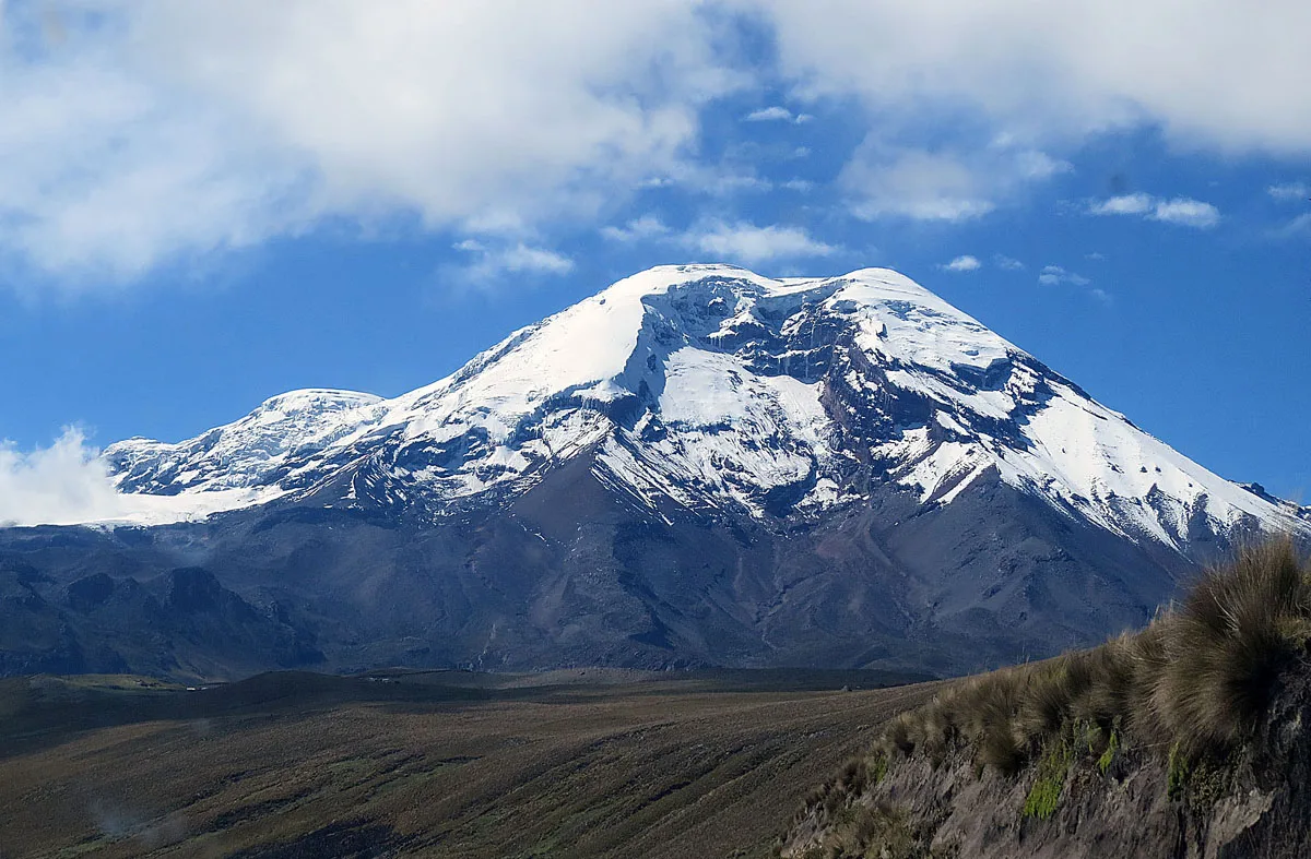
Chimborazo Normal Route (Whymper Route)
The Whymper Route follows the western ridges and glacier flanks of Chimborazo past the landmark rock buttress of El Castillo. Climbers ascend steep 40°-50° firn and penitentes before traversing expansive upper ice fields to reach Cumbre Veintimilla (6,230 m) and finally Cumbre Whymper at 6,263 metres.
Historical Expeditions (2)
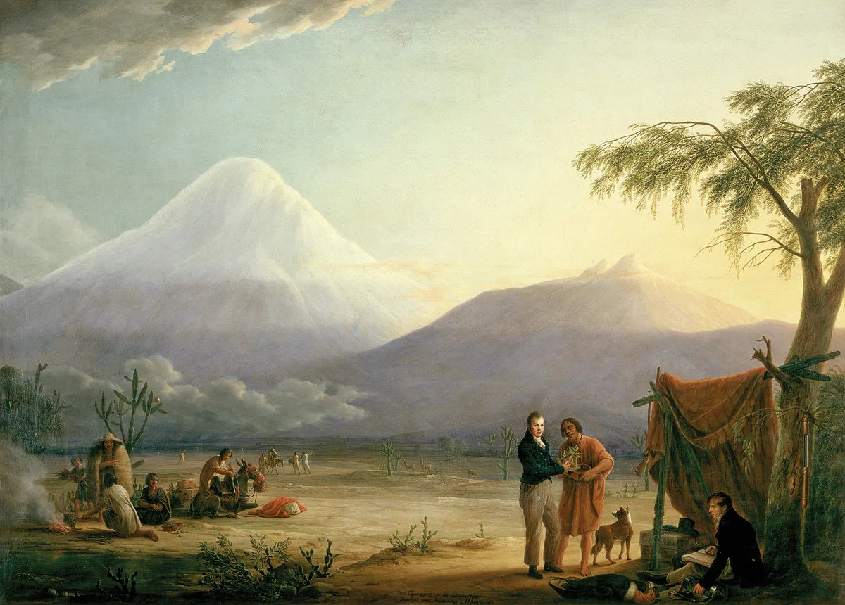
1802 Alexander von Humboldt Chimborazo World Altitude Record Expedition
On June 23, 1802, Prussian naturalist Alexander von Humboldt, French botanist Aimé Bonpland, and Ecuadorian nobleman Carlos Montúfar reached 5,878 metres on Chimborazo. Overcoming altitude sickness, freezing gales, and sheer rock precipices without modern alpine gear, they set a world altitude record that stood for thirty years.
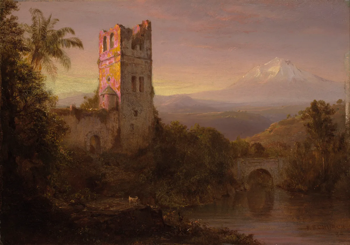
1880 Edward Whymper and Carrel Brothers Chimborazo Historic First Ascent Expedition
On January 4, 1880, British mountaineer Edward Whymper alongside legendary Italian guides Louis Carrel and Jean-Antoine Carrel completed the historic first ascent of Chimborazo (6,263 m). Navigating steep firn, seracs, and debilitating mountain sickness, they stood atop Earth's closest surface point to the Sun, completing a masterwork of nineteenth-century alpinism.
Summit Chronicles & Stories (2)
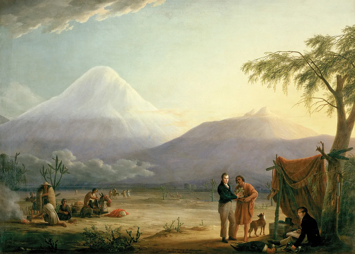
To the Edge of the Sky: Humboldt's 1802 Chimborazo Altitude Record
On June 23, 1802, Prussian polymath Alexander von Humboldt, botanist Aimé Bonpland, and Carlos Montúfar climbed to 5,878 metres on Chimborazo, setting a 30-year world altitude record and founding modern ecological science.
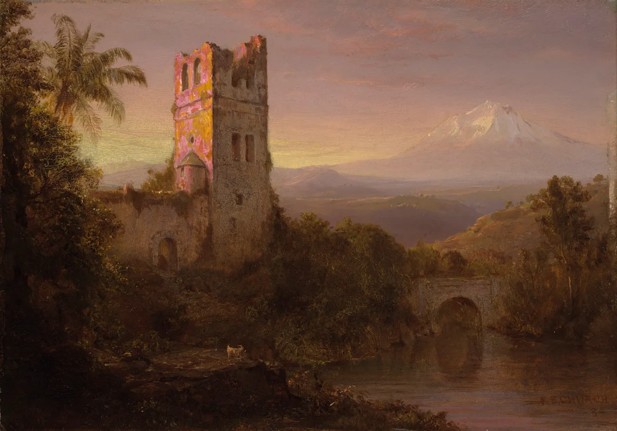
King of the Andes: Whymper and the Carrels Conquer Chimborazo in 1880
On January 4, 1880, legendary British climber Edward Whymper and Italian guides Louis Carrel and Jean-Antoine Carrel conquered Chimborazo (6,263 m), standing upon Earth's closest surface point to the Sun.
Frequently Asked Questions: Chimborazo
Why is Chimborazo's summit closer to the Sun than Mount Everest?
Because the Earth is an oblate spheroid with an equatorial bulge, Chimborazo's summit sits 6,384.4 km from Earth's center, compared to 6,382.3 km for Everest, making Chimborazo the closest terrestrial point to the Sun.
Who made the first ascent of Chimborazo?
English alpinist Edward Whymper and Italian guides Louis Carrel and Jean-Antoine Carrel achieved the first ascent on January 4, 1880.
What is the normal climbing route on Chimborazo?
The standard route is the Whymper Route (AD), ascending western glacier slopes past the rock formation El Castillo to Cumbre Veintimilla and Cumbre Whymper (6,263 m).
How did Alexander von Humboldt contribute to Chimborazo's fame?
In 1802, Humboldt climbed to 5,878 m without modern equipment, setting a world altitude record and creating his famous Tableau Physique des Andes.
Documented Sources & Archival Citations
- Travels Amongst the Great Andes of the Equator(Edward Whymper / John Murray)
Supporting claim: Firsthand technical record of the first ascent of Chimborazo in January 1880
Accessed/Documented: 1892 - Personal Narrative of Travels to the Equinoctial Regions of America(Alexander von Humboldt)
Supporting claim: Scientific documentation of the 1802 altitude record attempt on Chimborazo
Accessed/Documented: 1814