Eiger North Face (1938 Heckmair Route)
The legendary 1,800-meter original route up the Eiger North Face (3,967m), first climbed between July 21 and 24, 1938, by Anderl Heckmair, Ludwig Vörg, Heinrich Harrer, and Fritz Kasparek.
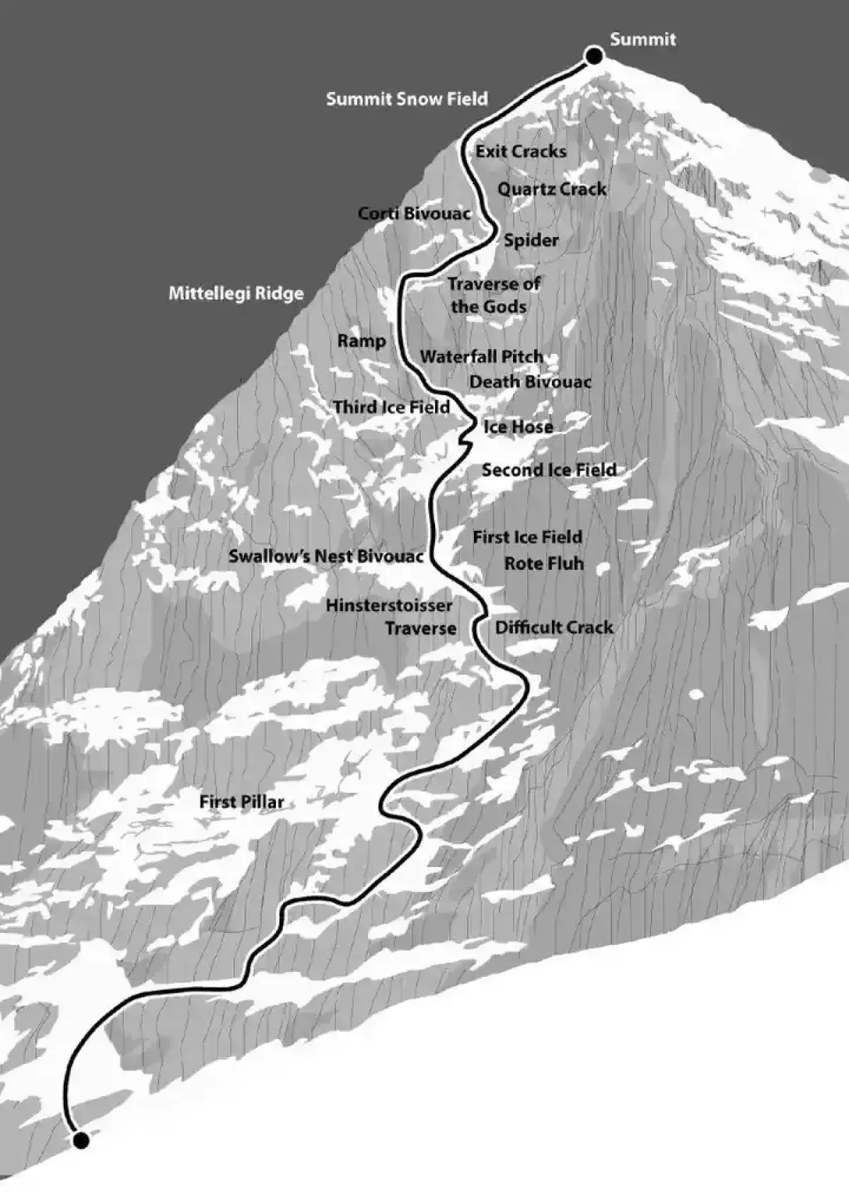
Ascent line, technical cruxes & camp topography profile for Eiger North Face (1938 Heckmair Route)
Mountain Safety & Conditions Disclaimer: High-altitude climbing, glacial travel, and technical ascents entail severe objective risks including avalanches, serac collapses, rapid weather collapse, and altitude illness. Historical route descriptions and summit claims on Mountanity reflect documented archival sources and must not be used as live operational safety assessments. Local regulations, permits, and physical glacial topography change continuously.
Peer Review: Senior Editorial Board & Historical Reviewers • Editorial Standards
Tactical & Camp Notes
Due to climate warming causing continuous rockfall in summer, modern ascents are completed almost exclusively in mid-winter or early spring when freezing temperatures glue the loose limestone slabs together.
Identified Objective Hazards
- •Devastating stonefall caused by freeze-thaw cycles on friable limestone face
- •Spindrift avalanches funneling relentlessly through the White Spider and Exit Cracks
- •Extreme rapid weather deterioration with violent storms trapping parties on open bivouacs
- •Complex retreat logistics where reversing the Hinterstoisser Traverse without fixed ropes is virtually impossible
Historical Context
The ultimate prize of pre-WWII European mountaineering. Following nine deaths on the face between 1935 and 1938, the route was finally conquered on July 24, 1938, by Heckmair, Vörg, Harrer, and Kasparek.
Interactive Elevation Profile
Vertical profile, technical cruxes, and camp staging progression for Eiger North Face (1938 Heckmair Route) on Eiger.
The lower limestone steps ascending from the scree slopes above Alpiglen station toward the difficult rock pitches.
Camp-by-Camp Topography
Key staging altitudes, technical cruxes, and terrain transitions for Eiger North Face (1938 Heckmair Route).
First Pillar & Shattered Pillar
The lower limestone steps ascending from the scree slopes above Alpiglen station toward the difficult rock pitches.
Hinterstoisser Traverse
A sheer, holdless slab of polished limestone first breached in 1936 by Andreas Hinterstoisser using a tension pendulum traverse.
Swallow's Nest (Schwalbennest)
A tiny rock notch perched above the Hinterstoisser Traverse offering a classic, narrow bivouac ledge for two climbers.
First & Second Icefields
Steep 50-degree hanging icefields linked by the Ice Hose, requiring sustained front-pointing and prone to falling stones.
Death Bivouac (Todesbiwak)
A grim, wind-scoured rock platform where pioneers Max Sedlmayr and Karl Mehringer froze to death during a five-day storm in 1935.
The Ramp (Die Rampe)
A narrow, ascending chimney and fault line running diagonally up the wall, often coated in black water-ice and waterfalls.
Traverse of the Gods (Götterquergang)
A breathtaking, exposed ledge traverse across the vertical void, leading from the top of the Ramp to the White Spider.
The White Spider (Die Weiße Spinne)
A sinister, funnel-shaped snowfield whose radiating ice gullies resemble the legs of a giant white spider, funneling falling stones and avalanches directly onto climbing parties.
Exit Cracks (Ausstiegsrisse)
The final vertical rock and ice chimneys breached by Anderl Heckmair in a blinding blizzard, leading onto the summit snowfields.
Summit
The knife-edge snow arête of the Eiger connecting with the Mittellegi Ridge, overlooking the Grindelwald valley.
Topographic Location & Terrain Map
Cartographic datum, massif coordinates, and terrain context for Eiger North Face (1938 Heckmair Route) on Eiger.
Interactive Topographic Terrain Map
Click below to load live cartographic contours, glacier approaches, and geographic markers for Eiger (46°34′40″ N, 8°00′19″ E).
Key Statistics & Topographic Figures
- Route Type
- Big Wall Alpine Mixed / Extreme North Face
Topography
- Technical Difficulty
- Extreme Big-Wall Mixed / ED2, UIAA V-, 60° Ice
UIAA V- rock, sustained 50°–65° hard black water-ice, extreme stonefall hazard
- Country / Region
- Switzerland (Bernese Oberland / Canton of Bern)
Location
Archival Primary Source Quotations
“A mountain route is not merely a path of rock and ice; it is a test of human endurance, judgment, and humility.”
Defined Alpine Terminology & Concepts
- Crux
- The most difficult and technically demanding pitch or section of a climbing route.
- Normal Route (Voie Normale)
- The most frequently climbed, least technical, and historically standard path to a mountain summit.
Frequently Asked Questions: Eiger North Face (1938 Heckmair Route)
What is the climbing difficulty and grade of Eiger North Face (1938 Heckmair Route)?
Eiger North Face (1938 Heckmair Route) on eiger is graded as Extreme Big-Wall Mixed / ED2, UIAA V-, 60° Ice, with technical climbing requirements including UIAA V- rock, sustained 50°–65° hard black water-ice, extreme stonefall hazard.
What are the primary hazards on the Eiger North Face (1938 Heckmair Route)?
Climbers on Eiger North Face (1938 Heckmair Route) must navigate severe objective hazards including Devastating stonefall caused by freeze-thaw cycles on friable limestone face, Spindrift avalanches funneling relentlessly through the White Spider and Exit Cracks, Extreme rapid weather deterioration with violent storms trapping parties on open bivouacs, Complex retreat logistics where reversing the Hinterstoisser Traverse without fixed ropes is virtually impossible.
What camps are established on Eiger North Face (1938 Heckmair Route)?
Eiger North Face (1938 Heckmair Route) typically features 10 staging camps, progressing from First Pillar & Shattered Pillar (2500m) up toward the summit.
Mountain Ascended
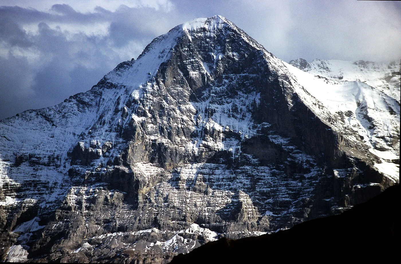

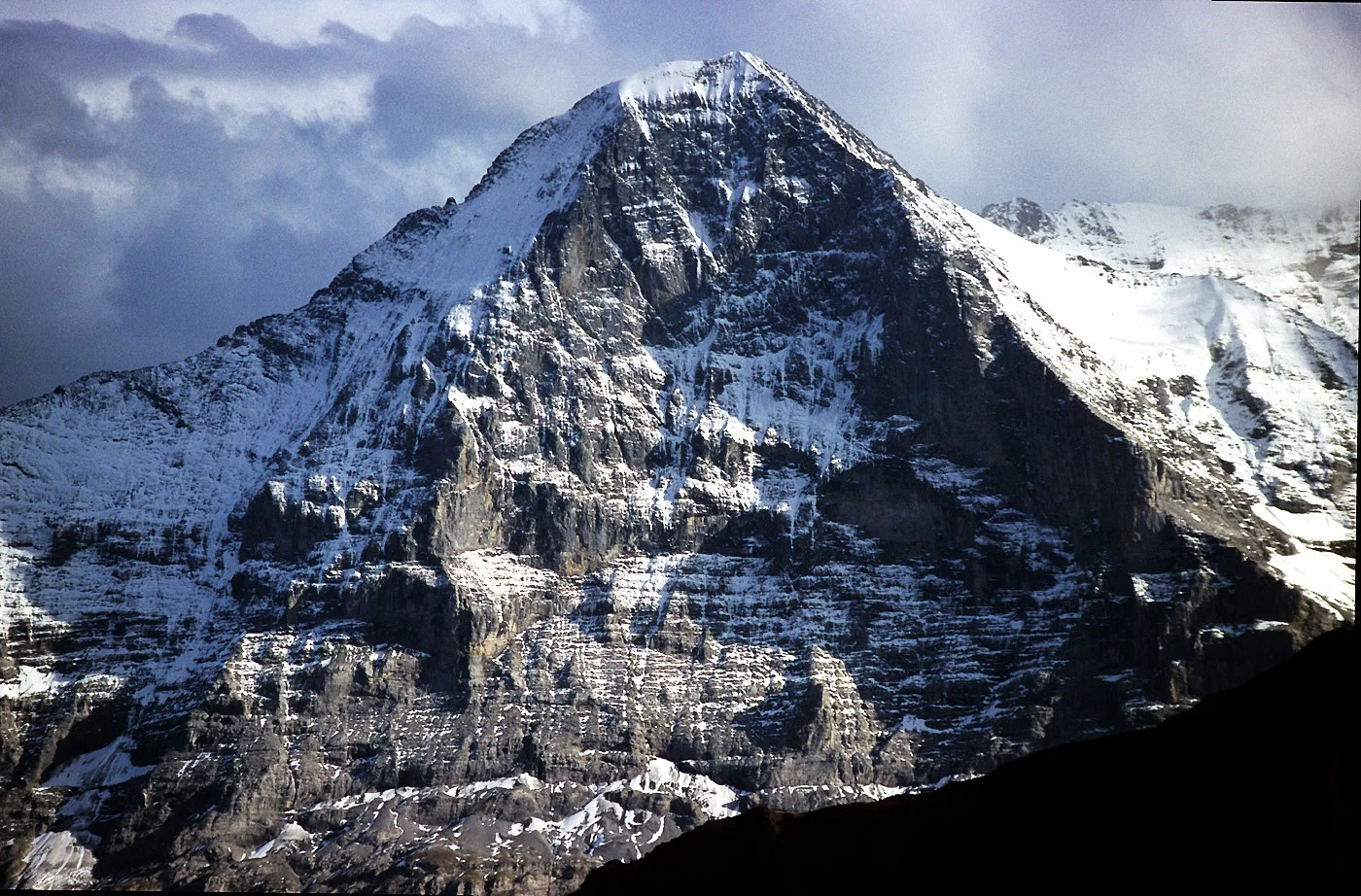
Eiger
The Eiger, standing at 3,967 meters (13,015 ft) in the Bernese Alps of Switzerland, is globally renowned for its monstrous 1,800-meter (5,900 ft) sheer vertical North Face (the *Eiger-Nordwand*). Feared as the *Mordwand* ('Murder Wall') following catastrophic climbing tragedies in the 1930s, it remained the last great problem of the Alps until conquered in July 1938 by Anderl Heckmair, Ludwig Vörg, Heinrich Harrer, and Fritz Kasparek.
Documented Expeditions on this Route (4)
Verified historical summits, siege campaigns, and pioneer attempts recorded on Eiger North Face (1938 Heckmair Route).
1938 German-Austrian Eiger North Face Expedition
The epic July 1938 expedition in which Bavarian alpinists Anderl Heckmair and Ludwig Vörg joined forces with Austrians Heinrich Harrer and Fritz Kasparek to conquer the terrifying 1,800-meter Eiger North Face over four grueling days of storms, rockfalls, and avalanches.
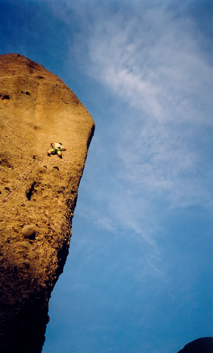
1992 Catherine Destivelle Eiger North Face Winter Solo
On March 9–10, 1992, 31-year-old French alpinist Catherine Destivelle made mountaineering history as the first woman to solo the 1,800-meter North Face of the Eiger in winter, ascending the Heckmair Route in just 17 hours of climbing.
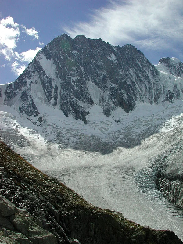
2015 Tom Ballard Solo Winter Six North Faces of the Alps
In the winter of 2014–2015, 26-year-old British solo alpinist Tom Ballard completed the historic 'Starlight and Storms' project, becoming the first person in mountaineering history to solo all Six Great North Faces of the Alps in a single calendar winter without support teams.
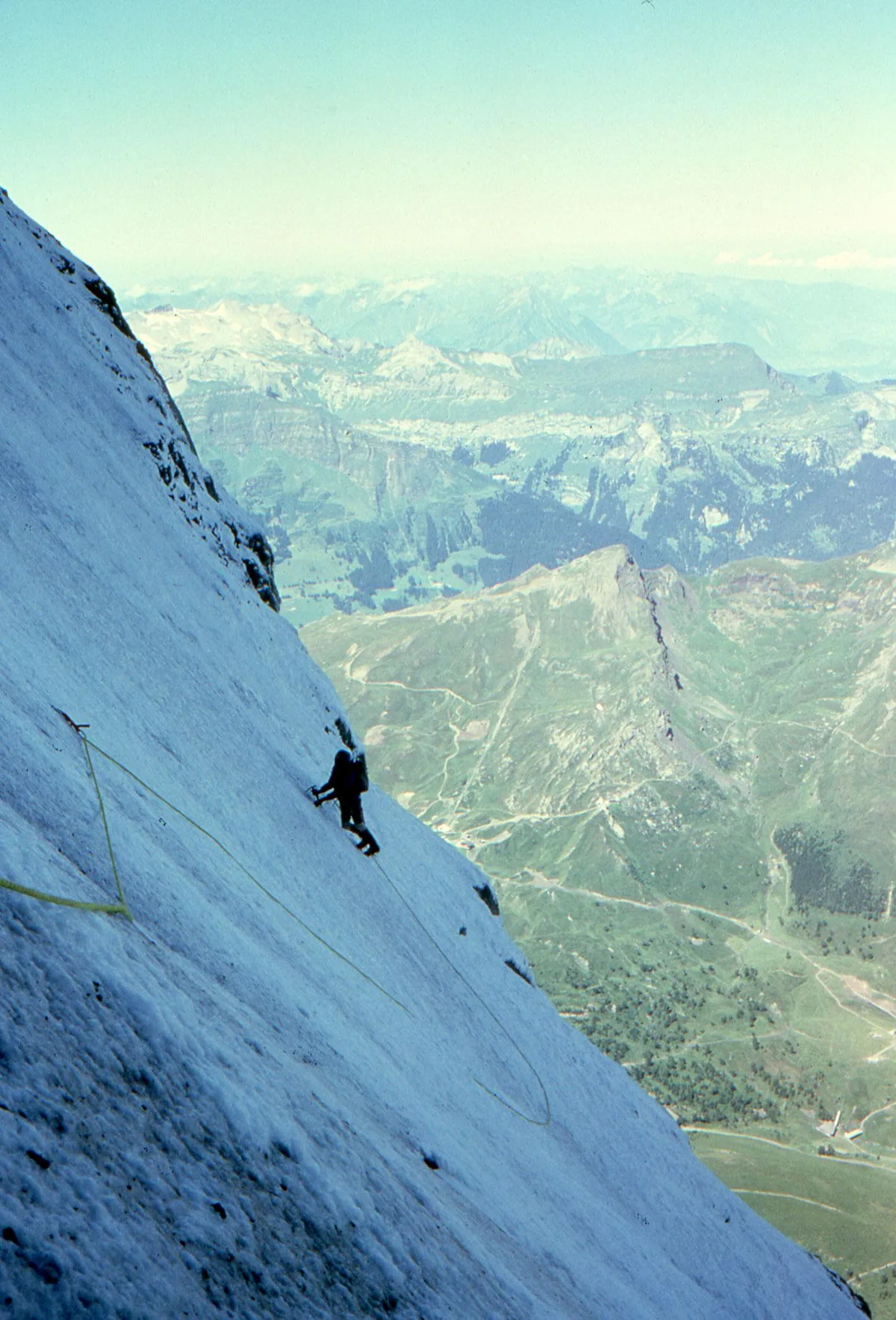
2015 Ueli Steck Eiger North Face Solo Speed Record
On November 16, 2015, Swiss speed climbing icon Ueli Steck shattered the solo speed record on the 1,800-meter North Face of the Eiger, ascending the historic Heckmair Route completely unroped in an astonishing 2 hours, 22 minutes, and 50 seconds.
Archival Chronicles & Stories on this Route (4)
In-depth longform historical narratives, harrowing survival accounts, and firsthand alpine journals on Eiger North Face (1938 Heckmair Route).
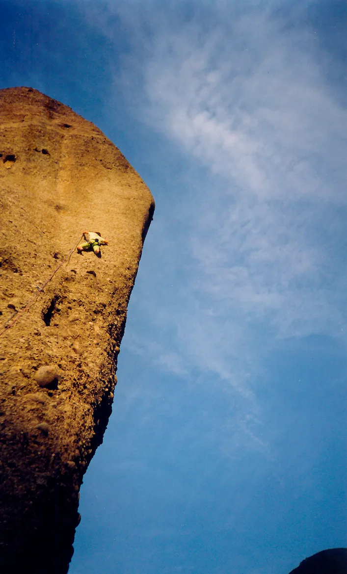
The Queen of the Ogre: Catherine Destivelle's Historic Solo Winter Ascent of the Eiger North Face
On March 9–10, 1992, French mountaineer Catherine Destivelle made history as the first woman to solo the 1,800-meter North Face of the Eiger in winter, conquering the Heckmair Route in 17 hours.
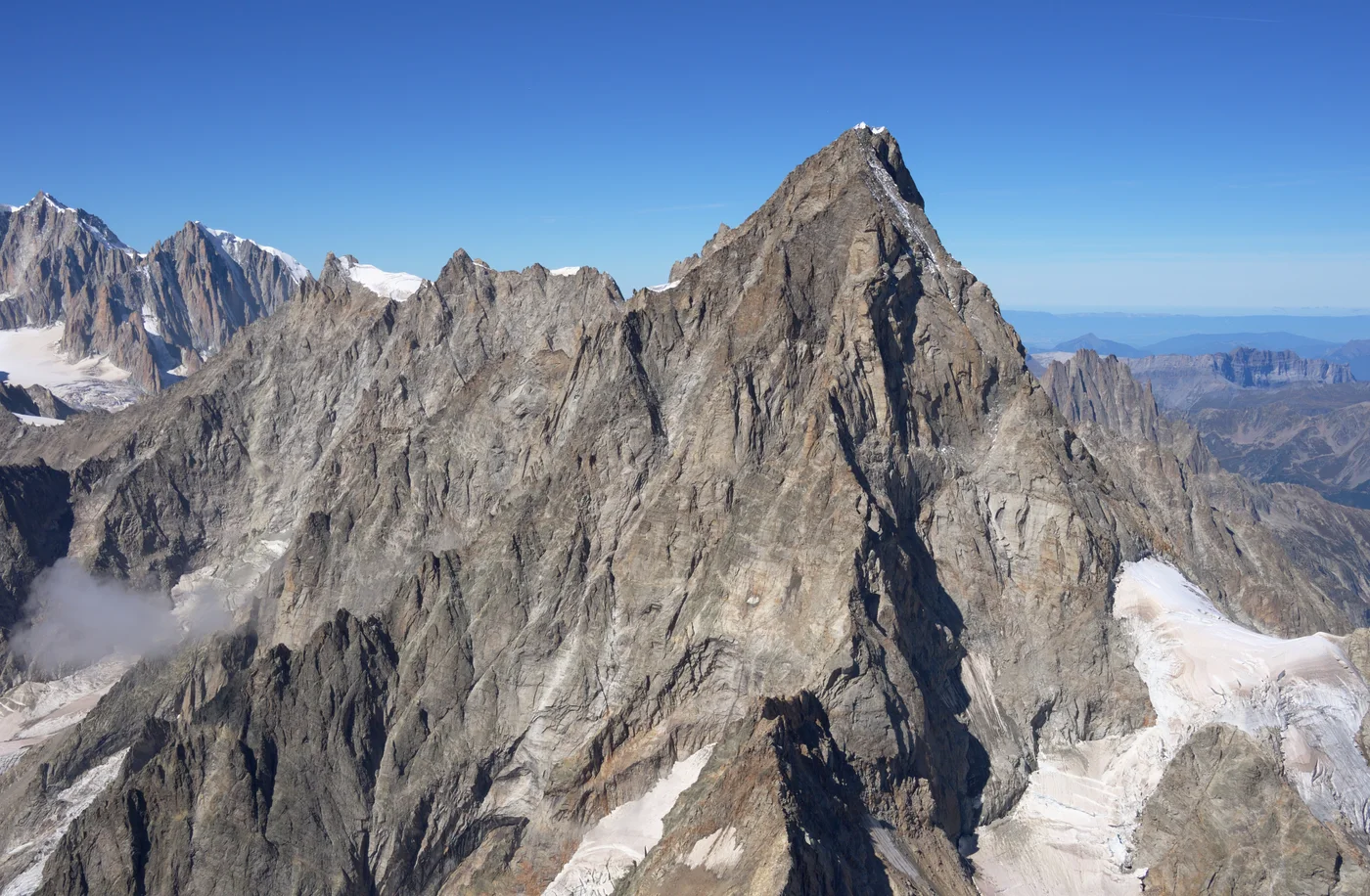
Starlight and Storms: Tom Ballard's Solo Winter Hexalogy of the Alps
In the winter of 2014–2015, British solo climber Tom Ballard made history by becoming the first person to solo all Six Great North Faces of the Alps in a single winter.
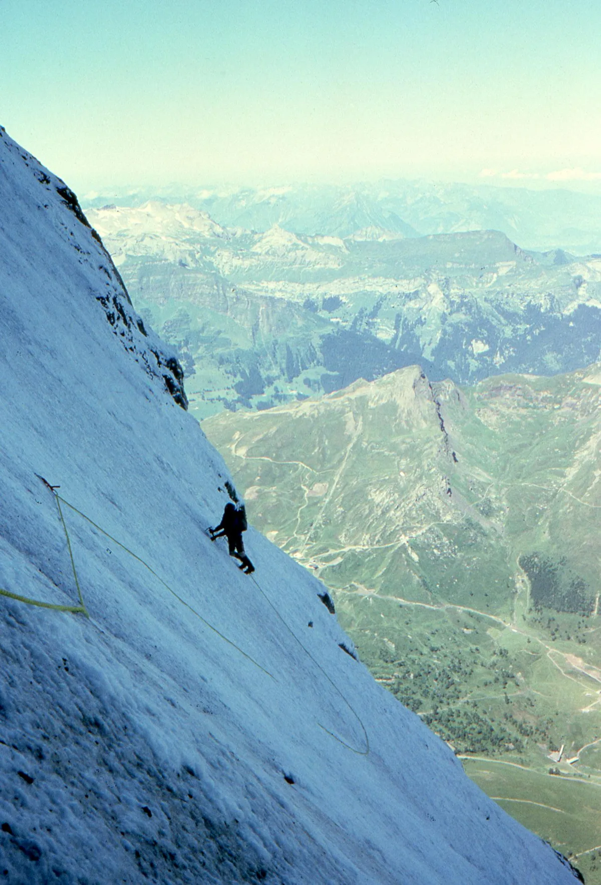
Two Hours and Twenty-Two Minutes: Ueli Steck's Unbelievable Solo Sprint Up the Eiger North Face
On November 16, 2015, Swiss speed climbing master Ueli Steck soloed the 1,800-meter Heckmair Route on the North Face of the Eiger in an astonishing 2 hours, 22 minutes, and 50 seconds.
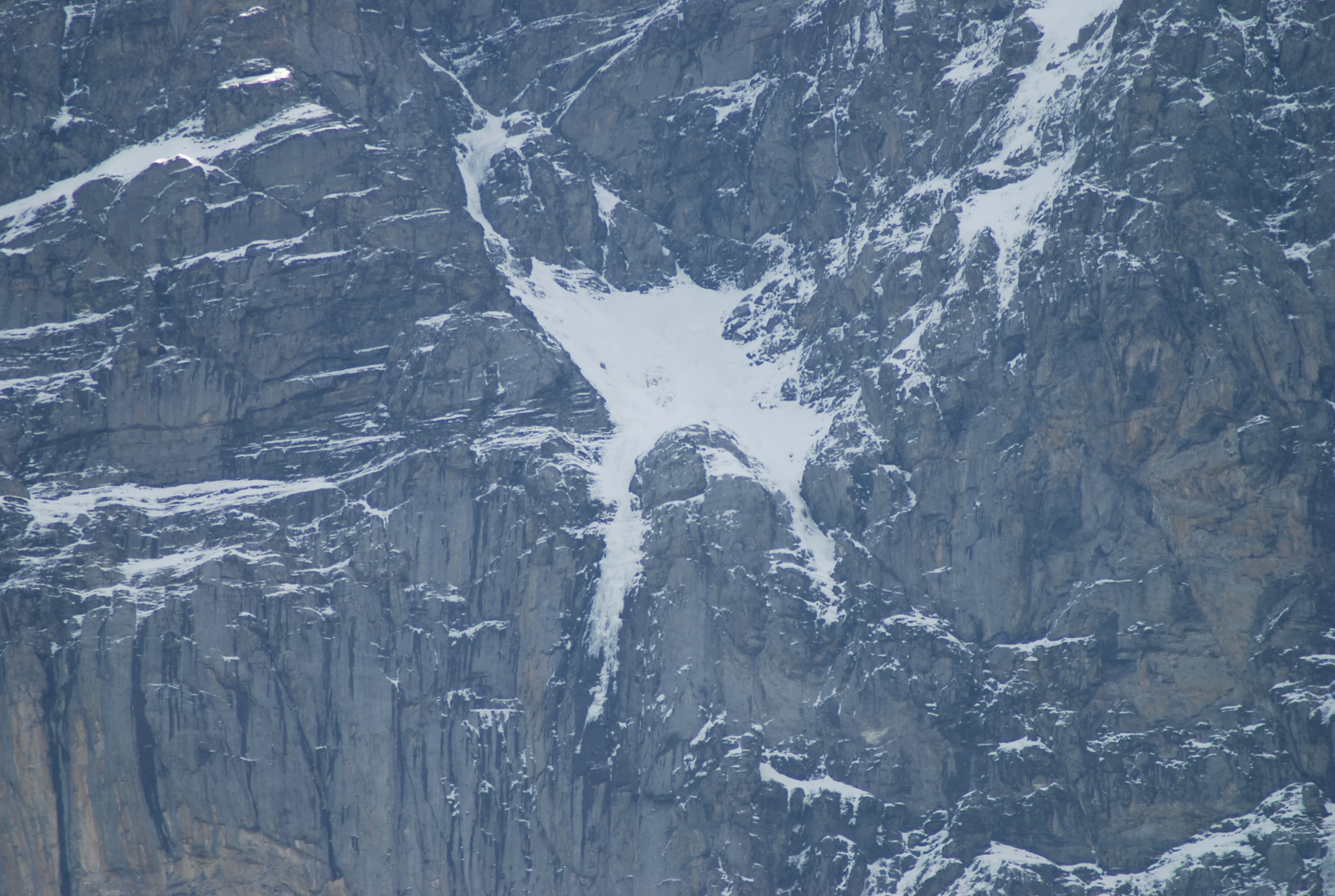
Eiger 1938: The Conquest of the Murder Wall and the White Spider
Between July 21 and 24, 1938, Anderl Heckmair and Heinrich Harrer led a four-man team up the terrifying 1,800-meter Eiger North Face, surmounting avalanches and the White Spider to solve the Last Problem of the Alps.
Documented Sources & Archival Citations
- The White Spider(Heinrich Harrer / Rupert Hart-Davis)
Supporting claim: Detailed description of all route pitches, the Hinterstoisser Traverse, and the White Spider
Accessed/Documented: 1959 - Eiger: Wall of Death(Arthur Roth / Gollancz)
Supporting claim: Topographical and historical analysis of early attempts and the 1938 first ascent
Accessed/Documented: 1982