Matterhorn
The Matterhorn (Monte Cervino), at 4,478 meters (14,692 ft), is one of the most recognizable and dramatic pyramidal peaks in the world. Straddling the border between Zermatt, Switzerland, and Breuil-Cervinia, Italy, its four triangular faces match the cardinal points of the compass.


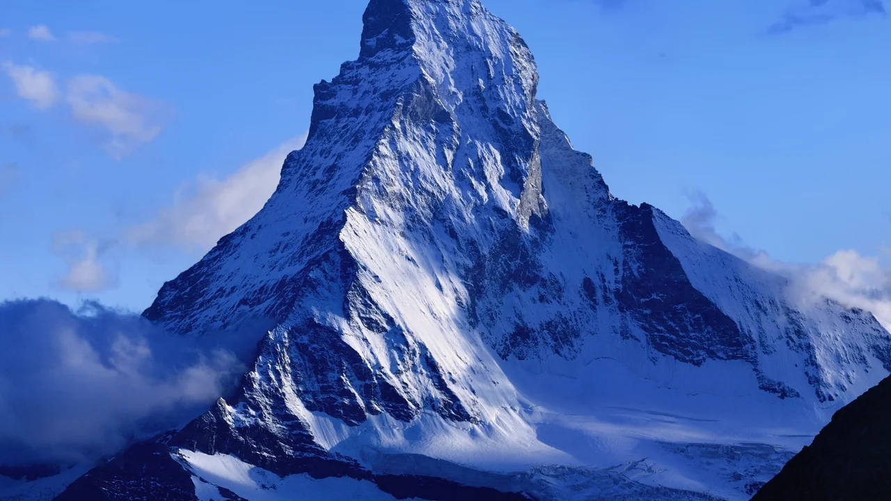
Mountain Safety & Conditions Disclaimer: High-altitude climbing, glacial travel, and technical ascents entail severe objective risks including avalanches, serac collapses, rapid weather collapse, and altitude illness. Historical route descriptions and summit claims on Mountanity reflect documented archival sources and must not be used as live operational safety assessments. Local regulations, permits, and physical glacial topography change continuously.
Peer Review: Senior Editorial Board & Historical Reviewers • Editorial Standards
Geographical Setting & Topography
Pennine Alps subrange of the Central Alps, presiding over the watershed between Zermatt in the Canton of Valais and the Valtournenche in the Aosta Valley.
Historic First Ascent
Date: July 14, 1865
Ascent Team: Edward Whymper, Lord Francis Douglas, Charles Hudson, Douglas Hadow, Michel Croz, Peter Taugwalder Sr., Peter Taugwalder Jr.
Key Statistics & Topographic Figures
- Summit Elevation
- 4,478 meters (14,692 ft)
Pennine Alps Subrange
- First Ascent Date
- July 14, 1865
Edward Whymper
- Normal Route
- Hörnli Ridge (AD Grade)
4,000m Technical Ridge
- Topographic Prominence
- 1,042 meters
Zermatt Watershed
Archival Primary Source Quotations
“The Matterhorn looks from Zermatt like a monstrous obelisk... It seemed to human imagination that to conquer it was an impossibility.”
Defined Alpine Terminology & Concepts
- Glacial Horn
- A sharp, pyramid-shaped peak created by the headward erosion of three or more cirque glaciers carving into a central mountain summit.
- Solvay Hut
- An emergency mountain shelter constructed at 4,003m on the Hörnli Ridge by the Swiss Alpine Club, reserved exclusively for climbers caught by sudden storms.
Matterhorn Mountain Weather Forecast
Detailed 14-Day Summit Window & Weather Timeline
Explore day-by-day summit push safety windows, wind shear analysis, and extended multi-day forecasts for Matterhorn.
Explore Matterhorn (4,478 m) in Interactive 3D
Inspect steep glacial walls, hanging seracs, ridge approaches, and elevation relief with 360° rotation and terrain tilt in WebGL.
Documented Climbing Routes (2)
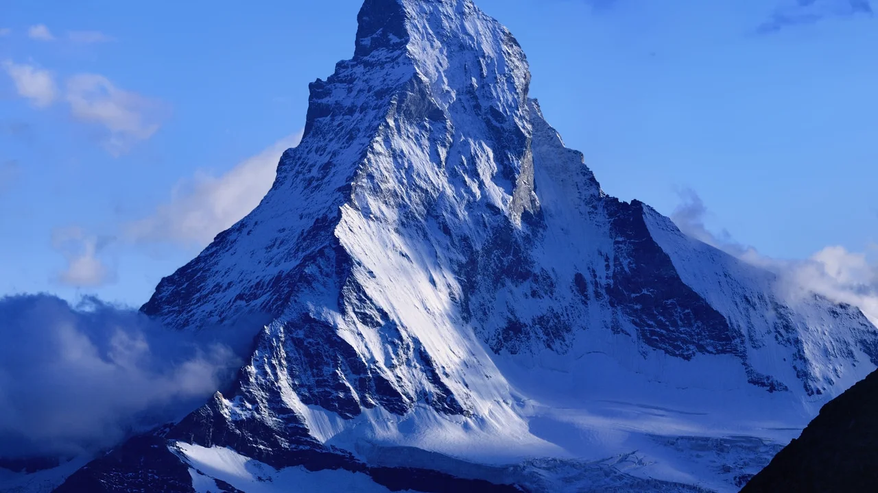
Hörnli Ridge (Normal Route)
The Hörnli Ridge (Hörnligrat) is the northeast ridge of the Matterhorn and the standard normal route from Zermatt. Starting from the Hörnli Hut (3,260m), the route follows the sharp, crumbling crystalline schist ridge, traversing steep rock steps, the Solvay emergency refuge (4,003m), and the steep upper Moseley Slabs. Fixed ropes assist climbers over the steep summit headwall (the Shoulder) before reaching the knife-edge Swiss summit crest at 4,478 meters. First climbed on July 14, 1865, by Edward Whymper's party.
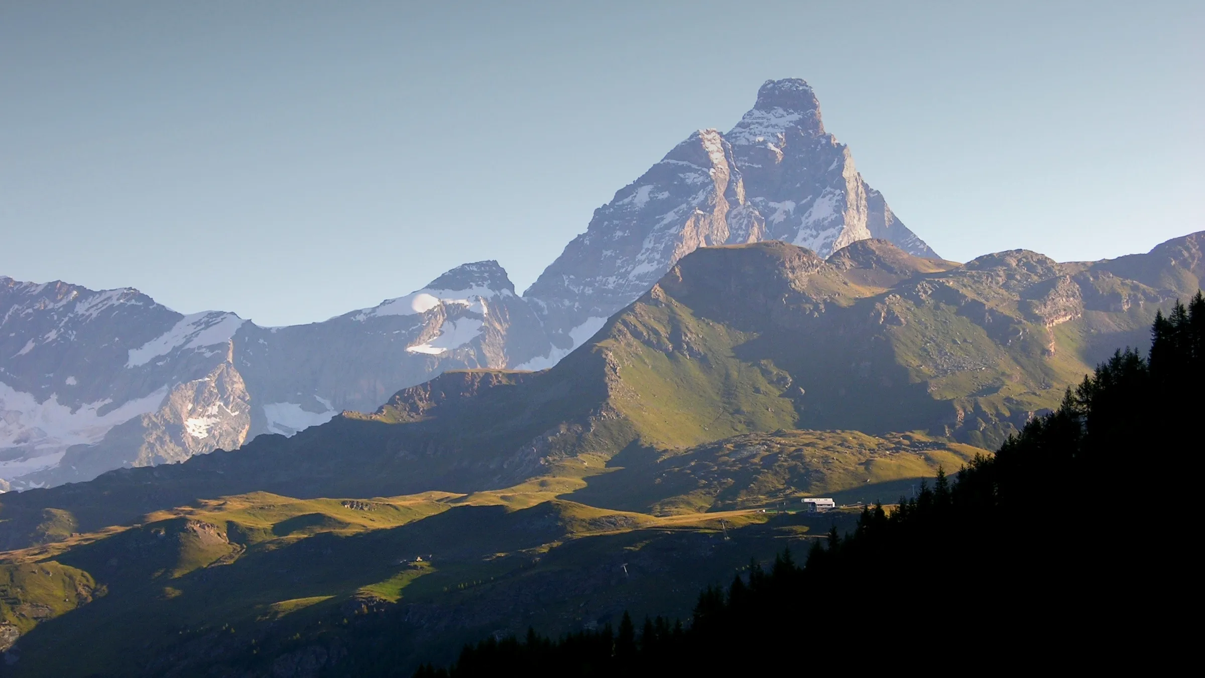
Matterhorn Lion Ridge (Cresta del Leone)
The Matterhorn Lion Ridge (Cresta del Leone / Italian Normal Route) is the historic Italian line to the Matterhorn summit, ascending from the Rifugio Theodul and Breuil-Cervinia on the Italian south-west face via the Col du Lion, the Tête du Lion, and the Great Tower. Pioneered by Jean-Antoine Carrel on July 17, 1865 — three days after Whymper's Hörnli ascent — the Lion Ridge remains the longer, more exposed, and more technically demanding of the two standard Matterhorn routes, graded AD+/D with sustained UIAA IV passages and dramatic 3,000-metre drops into the Valtournenche.
Historical Expeditions (5)
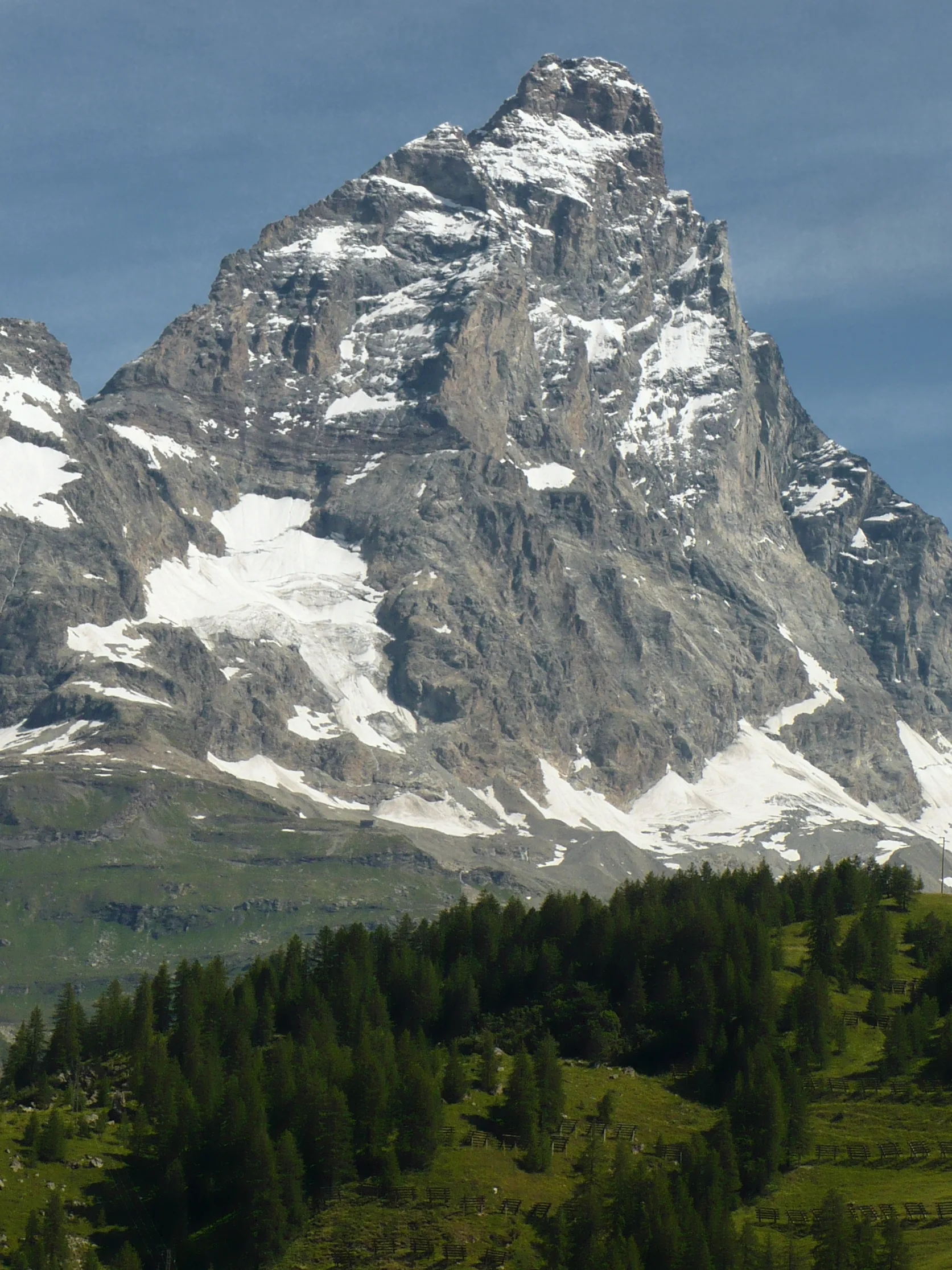
1865 Carrel Matterhorn Italian Lion Ridge First Ascent
On July 17, 1865 — three days after Edward Whymper's Hörnli Ridge ascent — Jean-Antoine Carrel, Giordano Bich, and Luc Meynet completed the first ascent of the Matterhorn via the Italian Lion Ridge (Cresta del Leone), fulfilling Carrel's fifteen-year national mission.
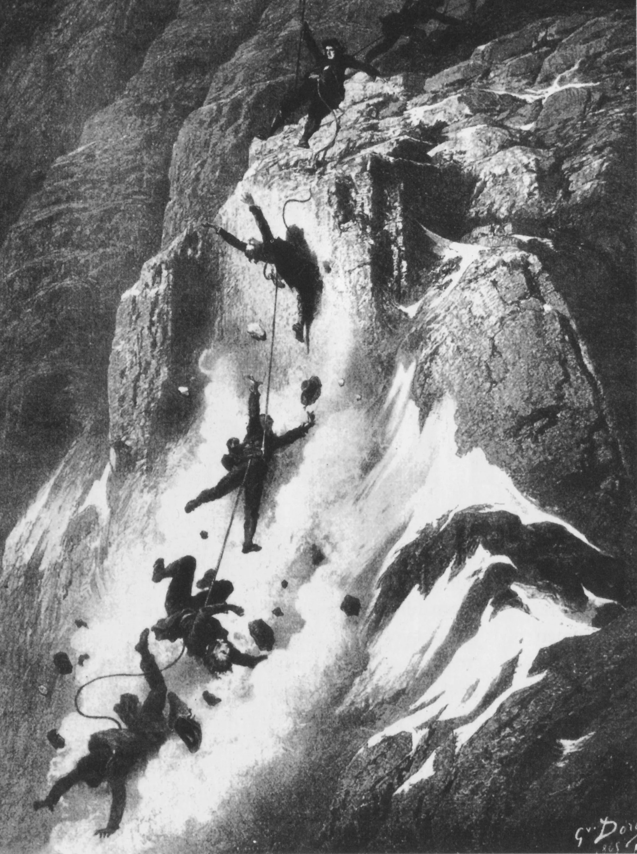
1865 Whymper-Croz-Taugwalder Matterhorn First Ascent & Descent Disaster
On July 14, 1865, Edward Whymper, Michel Croz, Peter Taugwalder Sr., Peter Taugwalder Jr., Lord Francis Douglas, Reverend Charles Hudson, and Douglas Hadow completed the Matterhorn's first ascent via the Hörnli Ridge — only for four teammates to fall to their deaths on the descent when a connecting rope snapped, ending the Golden Age of Alpinism.
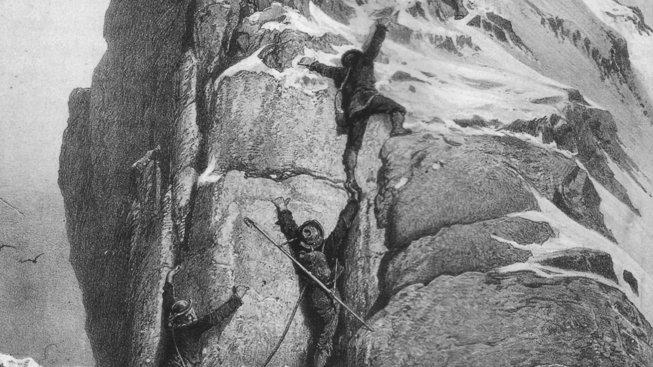
1865 Edward Whymper Matterhorn First Ascent Expedition
The dramatic July 1865 expedition led by English illustrator Edward Whymper that achieved the maiden first ascent of the Matterhorn (4,478m) via the Hörnli Ridge, ending in triumph overshadowed by the catastrophic rope snap that took four lives on descent.
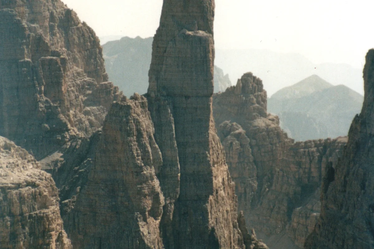
1911 Paul Preuss Campanile Basso Free Solo Expedition
On July 28, 1911, twenty-four-year-old Austrian climbing philosopher Doctor Paul Preuss achieved one of the most daring breakthroughs in mountaineering history, making the ropeless free-solo first ascent of the vertical 400-metre East Face of Campanile Basso (Guglia di Brenta) without using pitons, and down-climbing the wall ropeless.
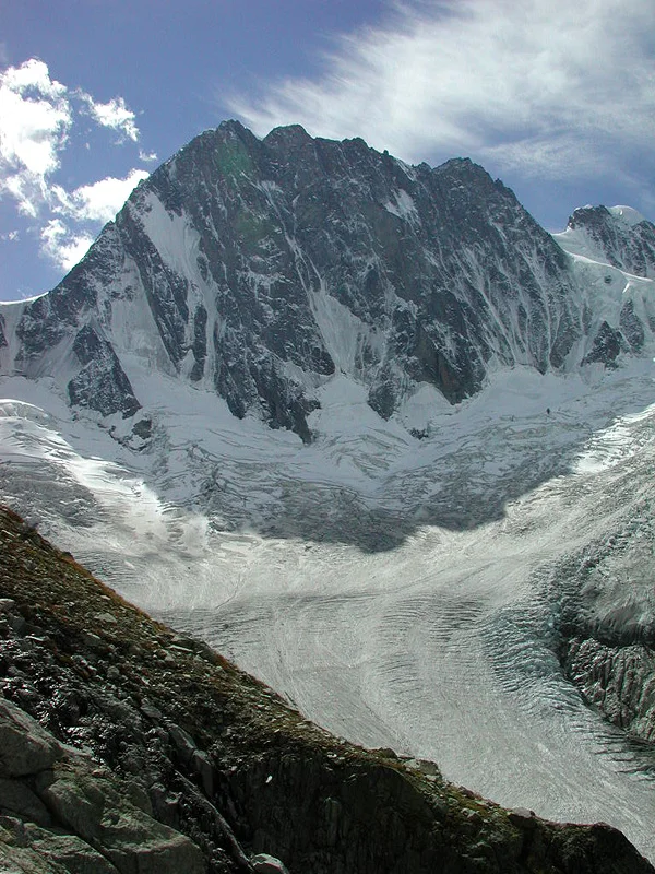
2015 Tom Ballard Solo Winter Six North Faces of the Alps
In the winter of 2014–2015, 26-year-old British solo alpinist Tom Ballard completed the historic 'Starlight and Storms' project, becoming the first person in mountaineering history to solo all Six Great North Faces of the Alps in a single calendar winter without support teams.
Summit Chronicles & Stories (5)
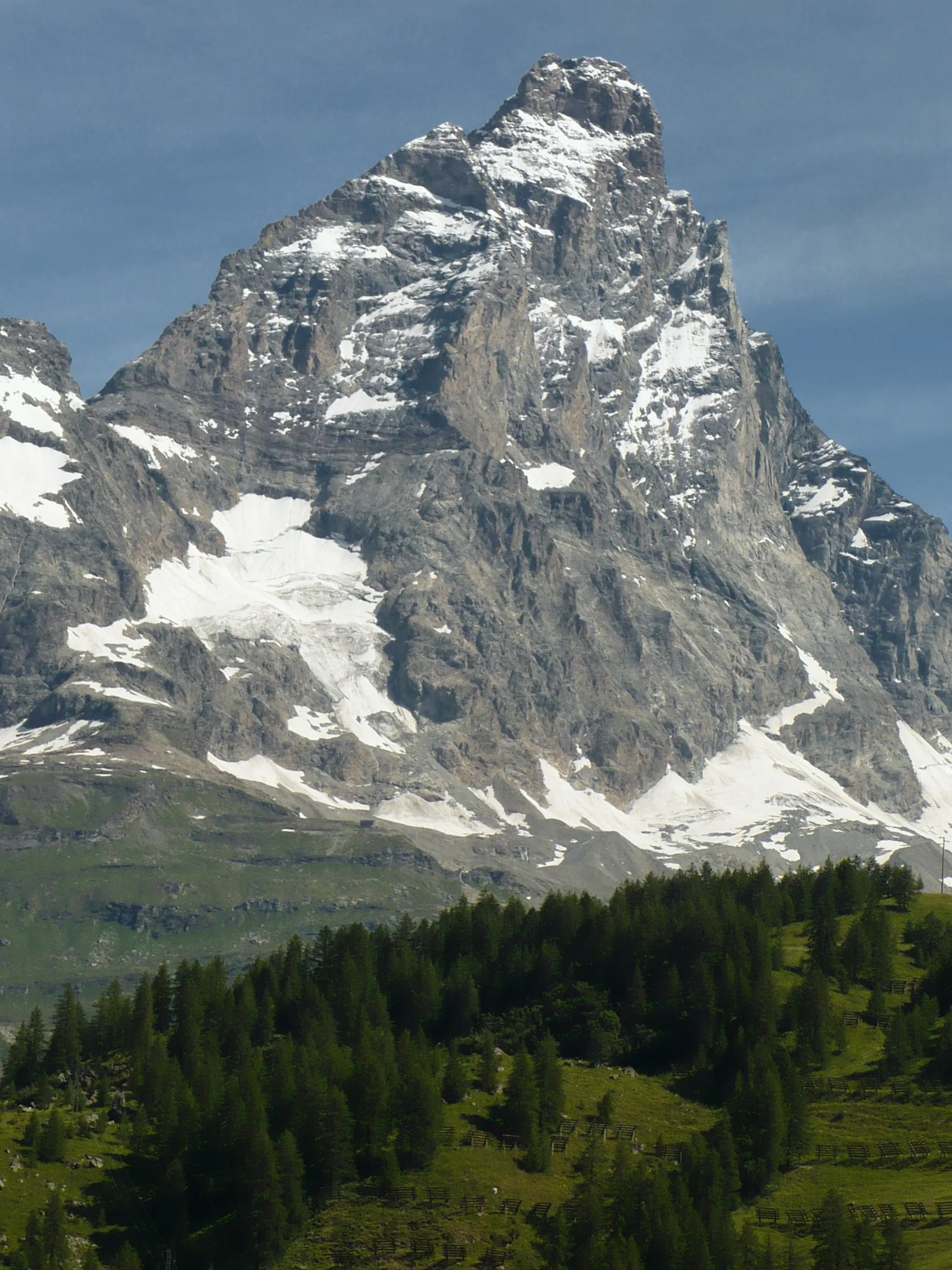
Il Bersagliere's Mountain: Jean-Antoine Carrel Italian First Ascent of the Matterhorn
On July 17, 1865, Jean-Antoine Carrel, Giordano Bich, and Luc Meynet completed the first ascent of the Matterhorn via the Italian Lion Ridge, conquering the steep Cresta del Leone for Italy three days after Whymper's Swiss ascent.
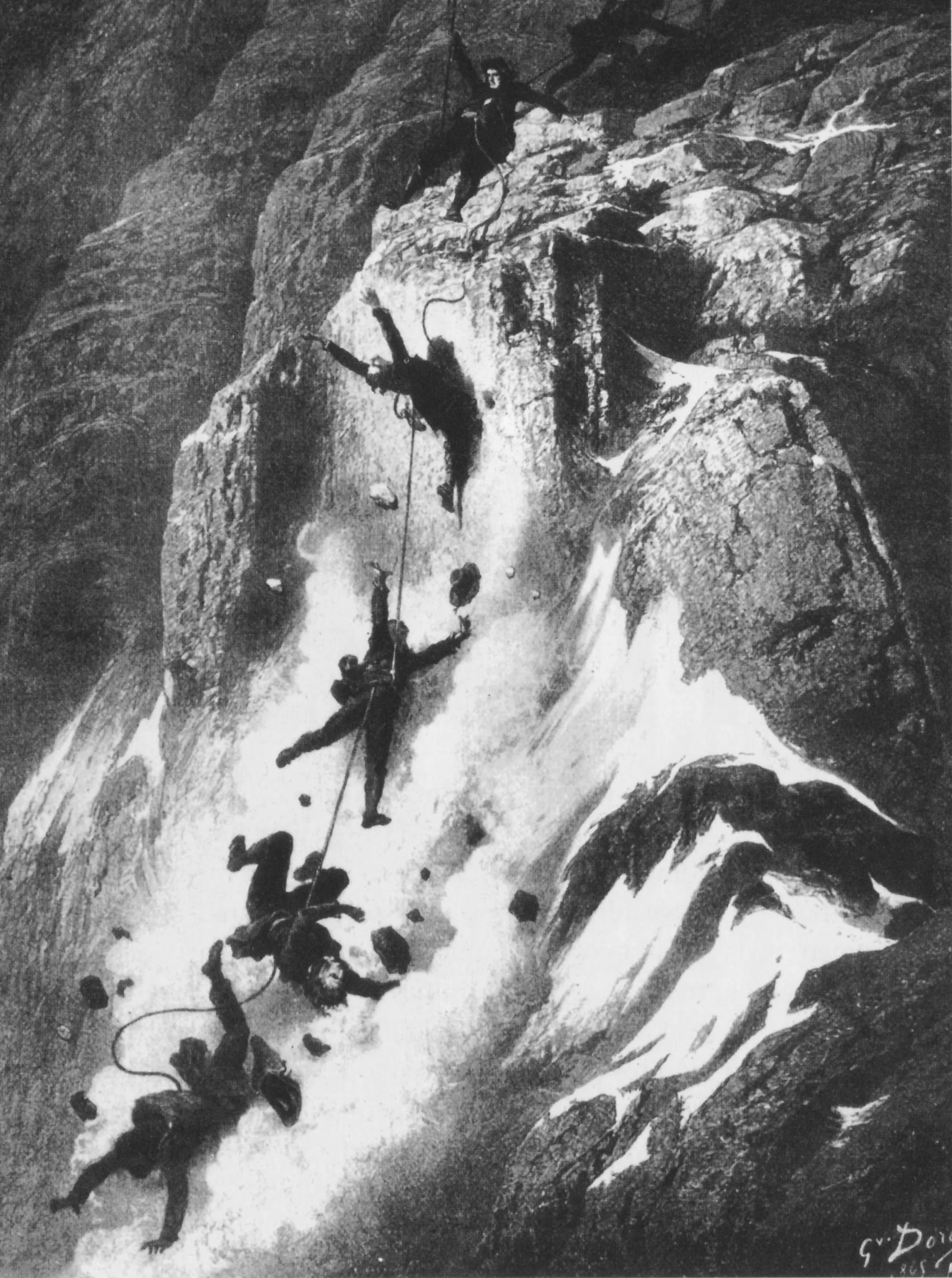
Triumph and Catastrophe: The 1865 Matterhorn First Ascent and the Broken Rope
On July 14, 1865, Edward Whymper, Michel Croz, and Peter Taugwalder Sr. claimed the summit of the Matterhorn, only for four teammates to plunge to their deaths on descent when the rope severed, closing the Golden Age of Alpinism.
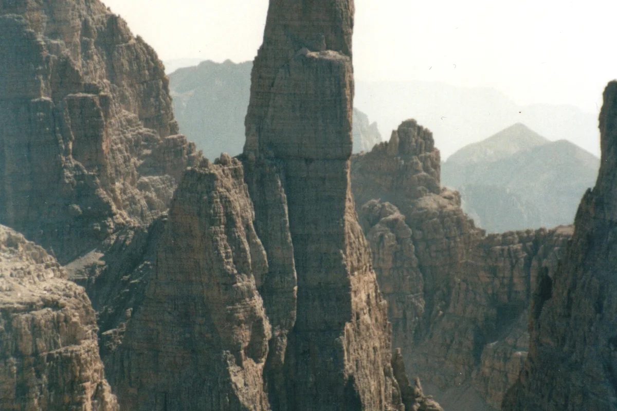
The Purity of the Solo: Paul Preuss and the Birth of Clean Climbing Ethics
On July 28, 1911, Austrian mountaineer Dr. Paul Preuss completed the ropeless free-solo first ascent of the East Face of Campanile Basso, establishing clean climbing principles.
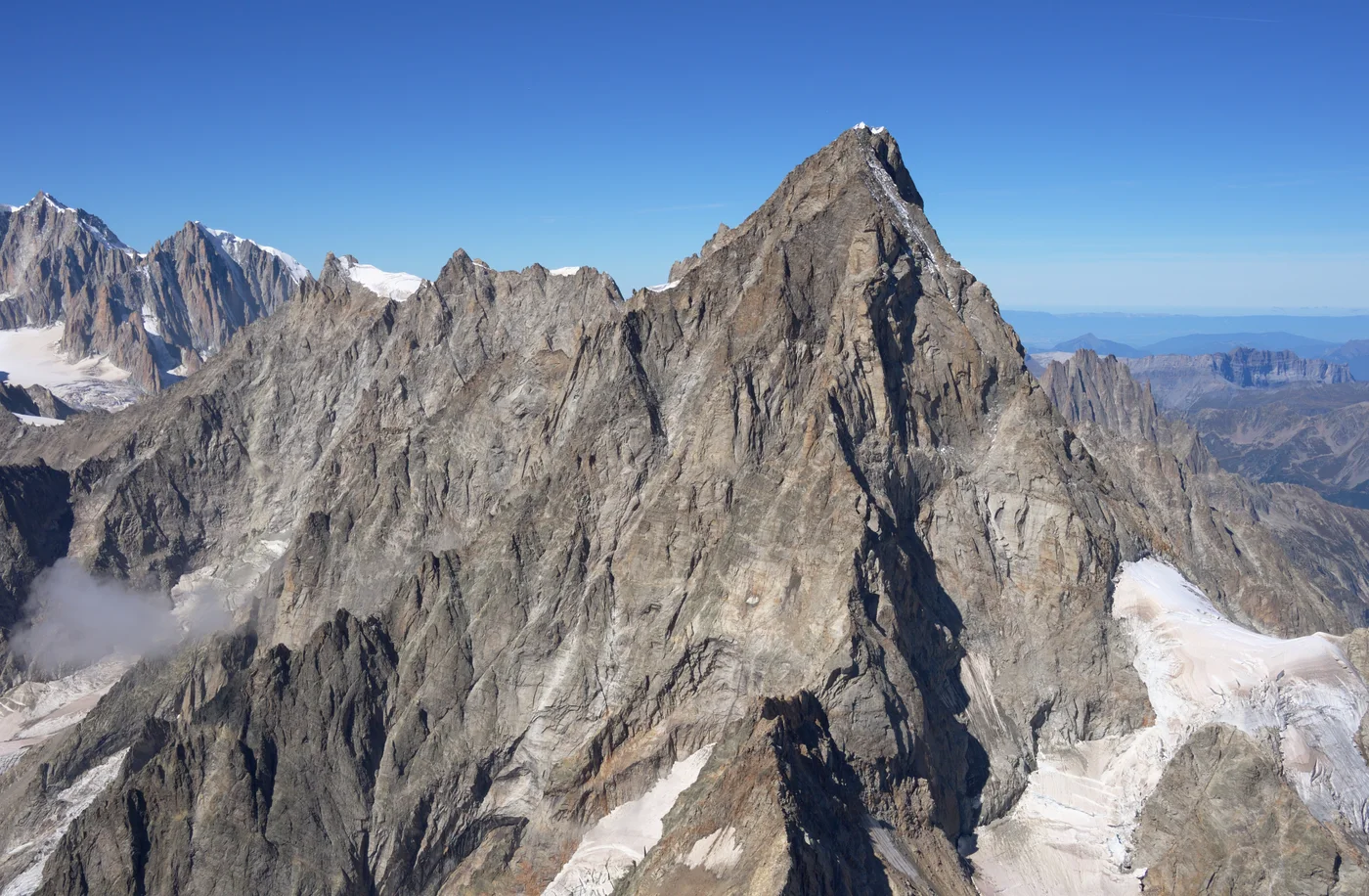
Starlight and Storms: Tom Ballard's Solo Winter Hexalogy of the Alps
In the winter of 2014–2015, British solo climber Tom Ballard made history by becoming the first person to solo all Six Great North Faces of the Alps in a single winter.
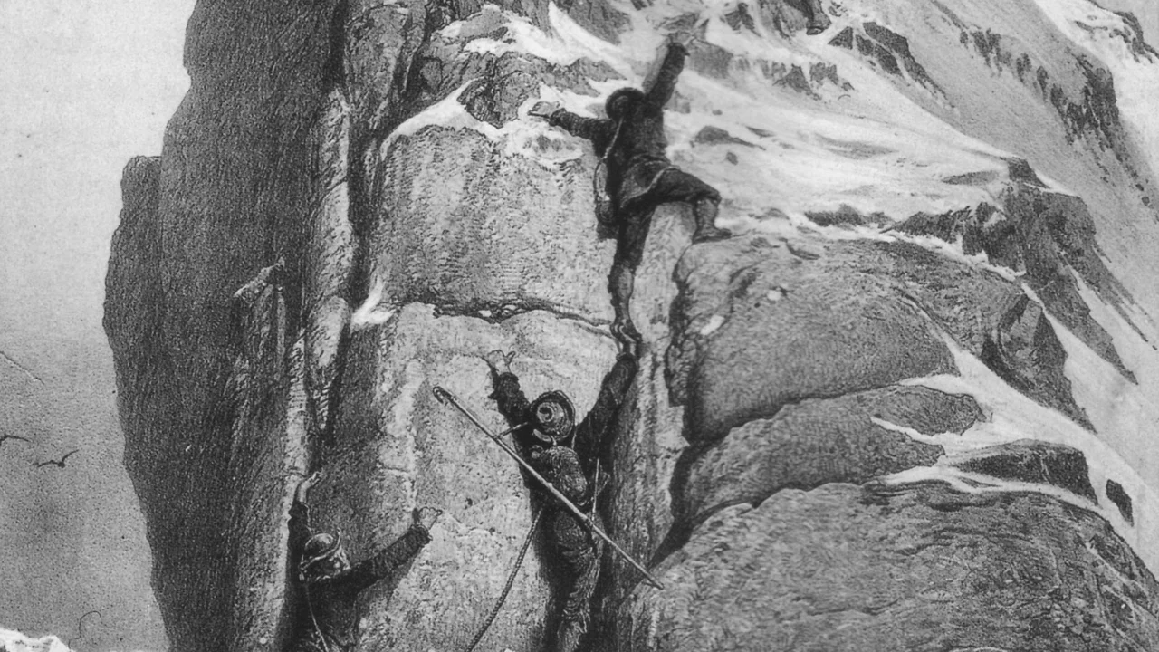
Matterhorn 1865: Whymper's Triumph and the Broken Rope Tragedy
On July 14, 1865, Edward Whymper conquered the supposedly unscalable Matterhorn (4,478m) via the Swiss Hörnli Ridge, only for victory to turn into one of mountaineering's greatest disasters when a rope snapped on descent, claiming four lives.
Frequently Asked Questions: Matterhorn
What is the official height of the Matterhorn?
The Matterhorn stands at an official elevation of 4,478 meters (14,692 feet), with a topographic prominence of 1,042 meters above the Pennine Alps.
Where is the Matterhorn located?
The Matterhorn straddles the international border between the canton of Valais, Switzerland (above Zermatt), and the Aosta Valley, Italy (above Breuil-Cervinia).
Who made the first ascent of the Matterhorn?
Edward Whymper led the historic first ascent on July 14, 1865, accompanied by Michel Croz, Reverend Charles Hudson, Lord Francis Douglas, Douglas Hadow, and Peter Taugwalder father and son via the Swiss Hörnli Ridge.
What is the most popular climbing route on the Matterhorn?
The Hörnli Ridge (Northeast Ridge) from Zermatt is the normal and most popular climbing route, graded AD (Assez Difficile) with fixed ropes installed on steep upper sections.
What is the Italian name for the Matterhorn?
In Italian, the Matterhorn is known as Monte Cervino, while in French it is called Mont Cervin.
Why is the Matterhorn shaped like a distinct four-sided pyramid?
The Matterhorn is a textbook glacial horn formed by cirque glaciers eroding all four cardinal faces (North, East, South, and West) simultaneously over hundreds of thousands of years.
How many climbers have died on the Matterhorn?
Since Edward Whymper’s 1865 ascent, an estimated 500 climbers have lost their lives on the Matterhorn, making it one of the deadliest mountains in the Alps.
Where is the Solvay Hut located on the Matterhorn?
The Solvay Hut is a tiny emergency survival shelter perched on a narrow rock ledge at 4,003 meters (13,133 ft) on the Hörnli Ridge, intended solely for life-threatening emergencies.
Documented Sources & Archival Citations
- Scrambles Amongst the Alps(Edward Whymper / John Murray)
Supporting claim: Official autobiographical chronicle of the seven attempts and 1865 first ascent
Accessed/Documented: 1871 - The Alpine Journal Archive: The Matterhorn Catastrophe(The Alpine Club UK)
Supporting claim: Official inquiry and contemporary records of the 1865 summit and broken rope tragedy
Accessed/Documented: 2026