Hörnli Ridge (Normal Route)
The Hörnli Ridge (Hörnligrat) is the northeast ridge of the Matterhorn and the standard normal route from Zermatt. Starting from the Hörnli Hut (3,260m), the route follows the sharp, crumbling crystalline schist ridge, traversing steep rock steps, the Solvay emergency refuge (4,003m), and the steep upper Moseley Slabs.
Ascent line, technical cruxes & camp topography profile for Hörnli Ridge (Normal Route)
Mountain Safety & Conditions Disclaimer: High-altitude climbing, glacial travel, and technical ascents entail severe objective risks including avalanches, serac collapses, rapid weather collapse, and altitude illness. Historical route descriptions and summit claims on Mountanity reflect documented archival sources and must not be used as live operational safety assessments. Local regulations, permits, and physical glacial topography change continuously.
Peer Review: Senior Editorial Board & Historical Reviewers • Editorial Standards
Tactical & Camp Notes
Extremely popular and prone to severe rockfall caused by climber traffic. Route-finding in the dark lower section is notoriously complex, and verglas (thin ice on rock) dramatically escalates objective danger.
Identified Objective Hazards
- •Severe rockfall triggered by preceding climbing parties on shattered schist ledges
- •Rapid afternoon thunderstorms and sudden verglas forming on technical rock faces
- •Severe exposure and high risk of slips on the delicate descent above the Solvay hut
- •Extreme overcrowding on narrow sections during peak summer climbing windows
Historical Context
First ascended on July 14, 1865, by Edward Whymper, Lord Francis Douglas, Charles Hudson, Douglas Hadow, and guides Michel Croz and Peter Taugwalder father and son. Four climbers perished during the descent when Hadow slipped and snapped the team's weak reserve rope.
Interactive Elevation Profile
Vertical profile, technical cruxes, and camp staging progression for Hörnli Ridge (Normal Route) on Matterhorn.
The classic modern alpine hut at the base of the ridge, offering shelter and starting point for alpine ascents.
Camp-by-Camp Topography
Key staging altitudes, technical cruxes, and terrain transitions for Hörnli Ridge (Normal Route).
Hörnli Hut (Base)
The classic modern alpine hut at the base of the ridge, offering shelter and starting point for alpine ascents.
Solvay Bivouac
A tiny emergency shelter perched on a narrow rock ledge on the ridge, strictly for emergency bivy use.
The Shoulder & Fixed Ropes
The steep mixed headwall where heavy fixed ropes assist climbers over polished rock slabs and icy gullies.
Matterhorn Swiss Summit
The highest point on the narrow summit arête, marked by a metal cross overlooking the Italian summit and Zermatt valley.
Topographic Location & Terrain Map
Cartographic datum, massif coordinates, and terrain context for Hörnli Ridge (Normal Route) on Matterhorn.
Interactive Topographic Terrain Map
Click below to load live cartographic contours, glacier approaches, and geographic markers for Matterhorn (45°58′35″ N, 7°39′30″ E).
Key Statistics & Topographic Figures
- Route Type
- Standard / Normal Route
Topography
- Technical Difficulty
- Technical Alpine Rock & Mixed / Grade III+ (AD)
UIAA III+ (crux rock steps), 45° snow/ice slopes near the summit
- Country / Region
- Switzerland (Valais / Zermatt)
Location
Archival Primary Source Quotations
“A mountain route is not merely a path of rock and ice; it is a test of human endurance, judgment, and humility.”
Defined Alpine Terminology & Concepts
- Crux
- The most difficult and technically demanding pitch or section of a climbing route.
- Normal Route (Voie Normale)
- The most frequently climbed, least technical, and historically standard path to a mountain summit.
Frequently Asked Questions: Hörnli Ridge (Normal Route)
What is the climbing difficulty and grade of Hörnli Ridge (Normal Route)?
Hörnli Ridge (Normal Route) on matterhorn is graded as Technical Alpine Rock & Mixed / Grade III+ (AD), with technical climbing requirements including UIAA III+ (crux rock steps), 45° snow/ice slopes near the summit.
What are the primary hazards on the Hörnli Ridge (Normal Route)?
Climbers on Hörnli Ridge (Normal Route) must navigate severe objective hazards including Severe rockfall triggered by preceding climbing parties on shattered schist ledges, Rapid afternoon thunderstorms and sudden verglas forming on technical rock faces, Severe exposure and high risk of slips on the delicate descent above the Solvay hut, Extreme overcrowding on narrow sections during peak summer climbing windows.
What camps are established on Hörnli Ridge (Normal Route)?
Hörnli Ridge (Normal Route) typically features 4 staging camps, progressing from Hörnli Hut (Base) (3260m) up toward the summit.
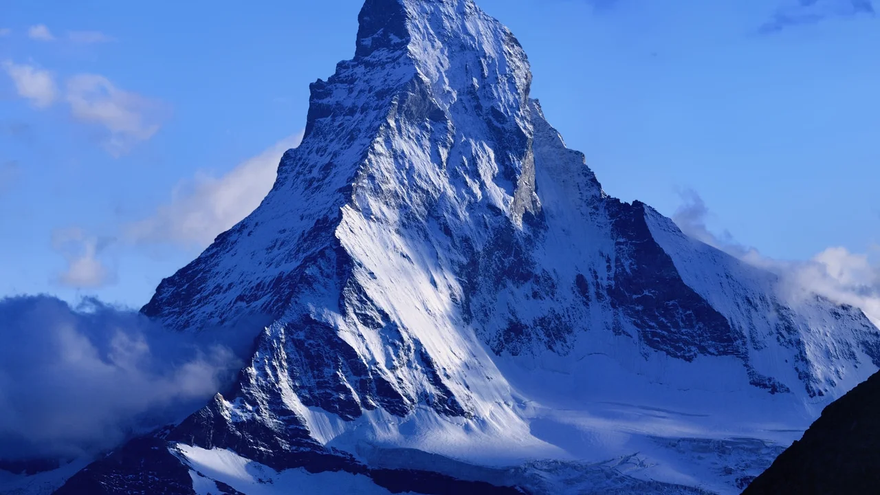
Mountain Ascended
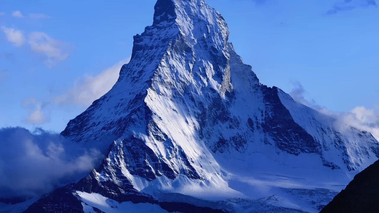


Matterhorn
The Matterhorn (Monte Cervino), at 4,478 meters (14,692 ft), is one of the most recognizable and dramatic pyramidal peaks in the world. Straddling the border between Zermatt, Switzerland, and Breuil-Cervinia, Italy, its four triangular faces match the cardinal points of the compass. Its historic first ascent by Edward Whymper on July 14, 1865, and the tragic fall of four teammates on the descent marked the end of the Golden Age of Alpinism.
Documented Expeditions on this Route (4)
Verified historical summits, siege campaigns, and pioneer attempts recorded on Hörnli Ridge (Normal Route).
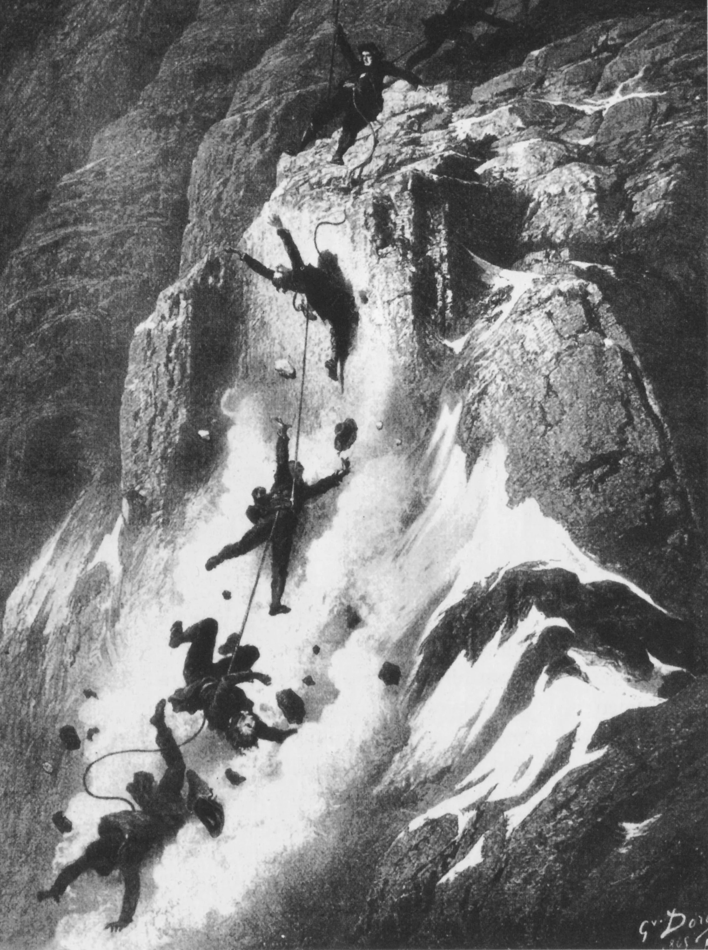
1865 Whymper-Croz-Taugwalder Matterhorn First Ascent & Descent Disaster
On July 14, 1865, Edward Whymper, Michel Croz, Peter Taugwalder Sr., Peter Taugwalder Jr., Lord Francis Douglas, Reverend Charles Hudson, and Douglas Hadow completed the Matterhorn's first ascent via the Hörnli Ridge — only for four teammates to fall to their deaths on the descent when a connecting rope snapped, ending the Golden Age of Alpinism.
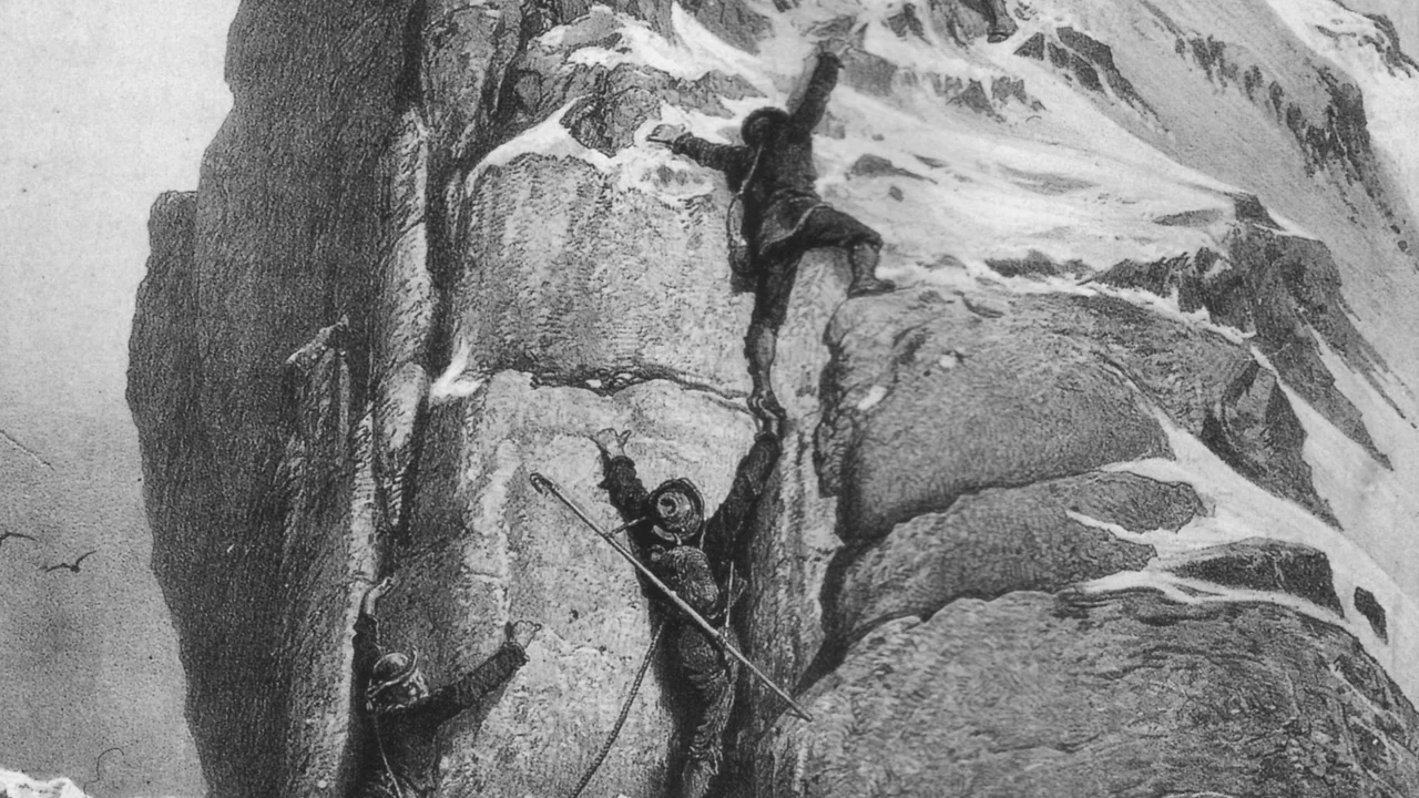
1865 Edward Whymper Matterhorn First Ascent Expedition
The dramatic July 1865 expedition led by English illustrator Edward Whymper that achieved the maiden first ascent of the Matterhorn (4,478m) via the Hörnli Ridge, ending in triumph overshadowed by the catastrophic rope snap that took four lives on descent.
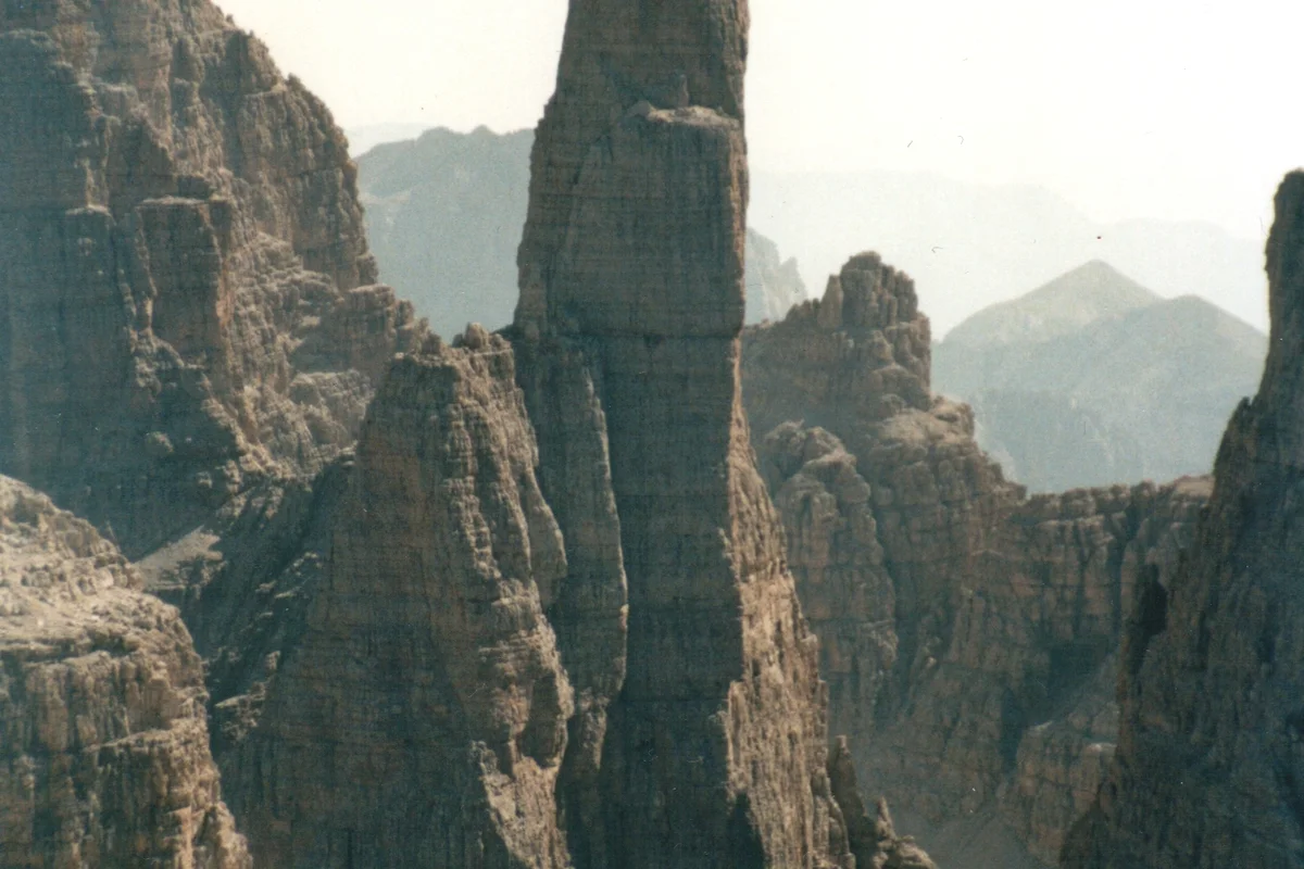
1911 Paul Preuss Campanile Basso Free Solo Expedition
On July 28, 1911, twenty-four-year-old Austrian climbing philosopher Doctor Paul Preuss achieved one of the most daring breakthroughs in mountaineering history, making the ropeless free-solo first ascent of the vertical 400-metre East Face of Campanile Basso (Guglia di Brenta) without using pitons, and down-climbing the wall ropeless.
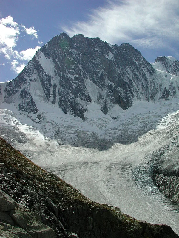
2015 Tom Ballard Solo Winter Six North Faces of the Alps
In the winter of 2014–2015, 26-year-old British solo alpinist Tom Ballard completed the historic 'Starlight and Storms' project, becoming the first person in mountaineering history to solo all Six Great North Faces of the Alps in a single calendar winter without support teams.
Archival Chronicles & Stories on this Route (4)
In-depth longform historical narratives, harrowing survival accounts, and firsthand alpine journals on Hörnli Ridge (Normal Route).
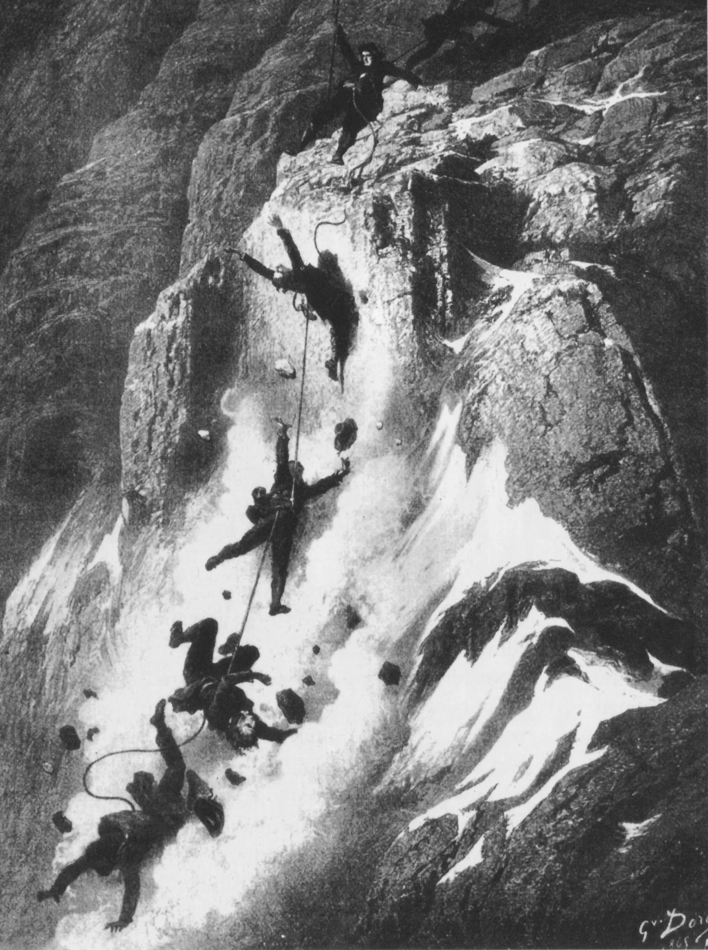
Triumph and Catastrophe: The 1865 Matterhorn First Ascent and the Broken Rope
On July 14, 1865, Edward Whymper, Michel Croz, and Peter Taugwalder Sr. claimed the summit of the Matterhorn, only for four teammates to plunge to their deaths on descent when the rope severed, closing the Golden Age of Alpinism.
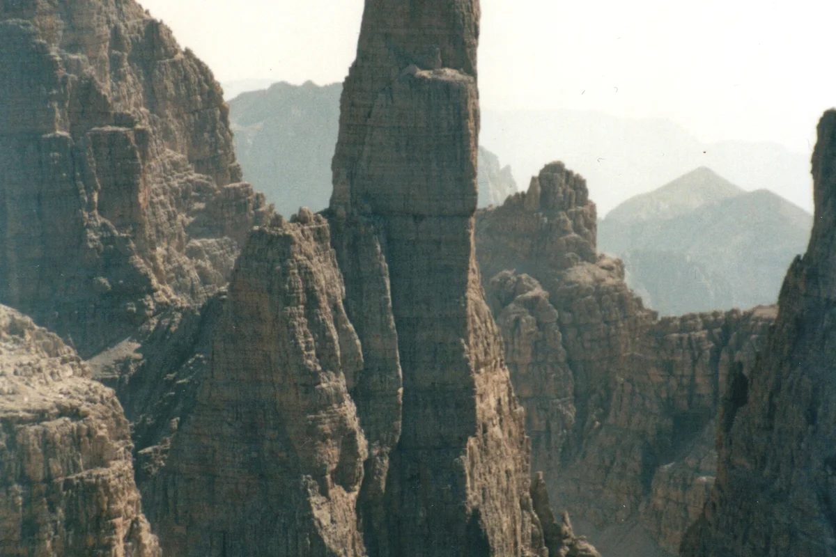
The Purity of the Solo: Paul Preuss and the Birth of Clean Climbing Ethics
On July 28, 1911, Austrian mountaineer Dr. Paul Preuss completed the ropeless free-solo first ascent of the East Face of Campanile Basso, establishing clean climbing principles.
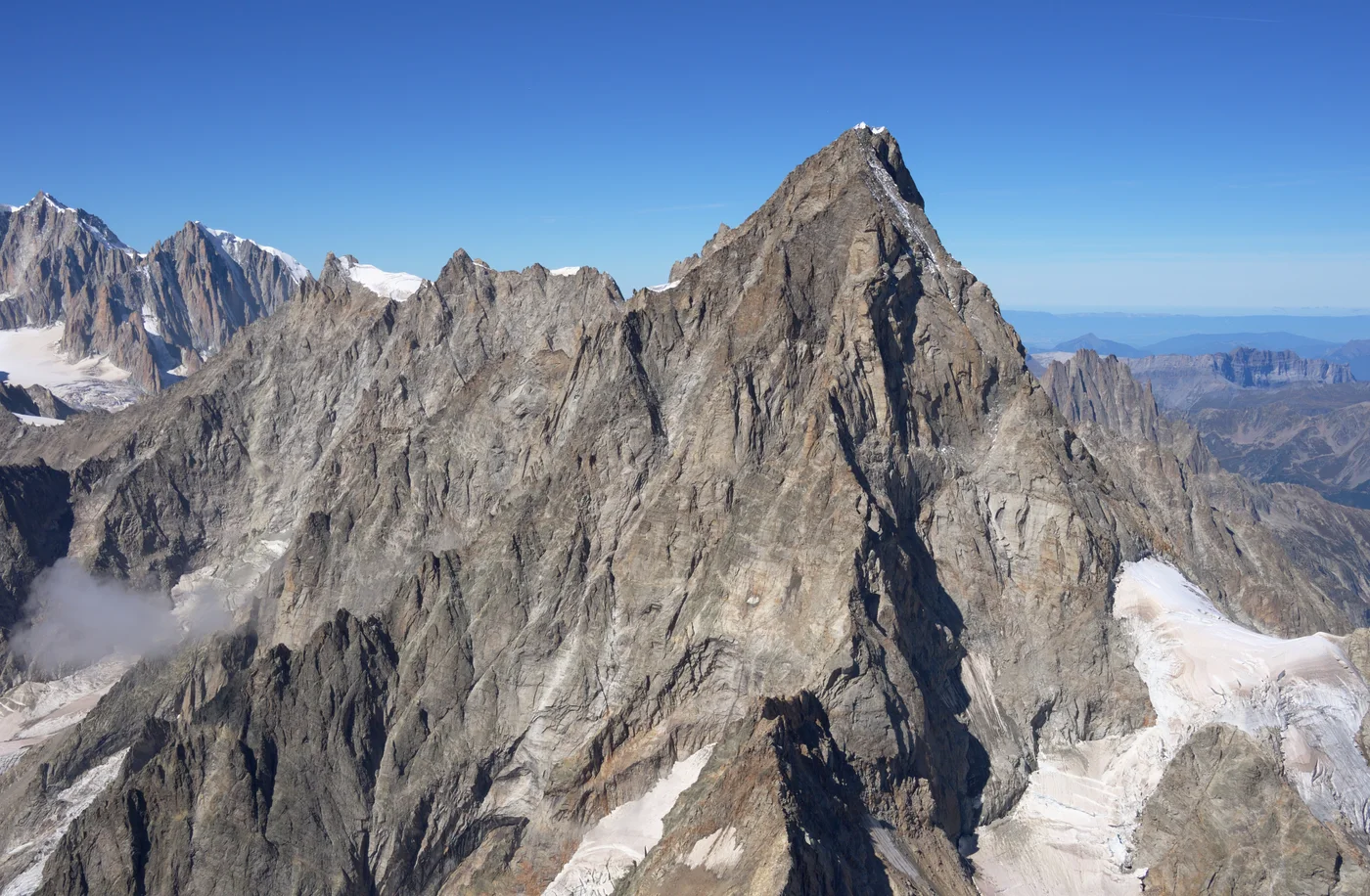
Starlight and Storms: Tom Ballard's Solo Winter Hexalogy of the Alps
In the winter of 2014–2015, British solo climber Tom Ballard made history by becoming the first person to solo all Six Great North Faces of the Alps in a single winter.
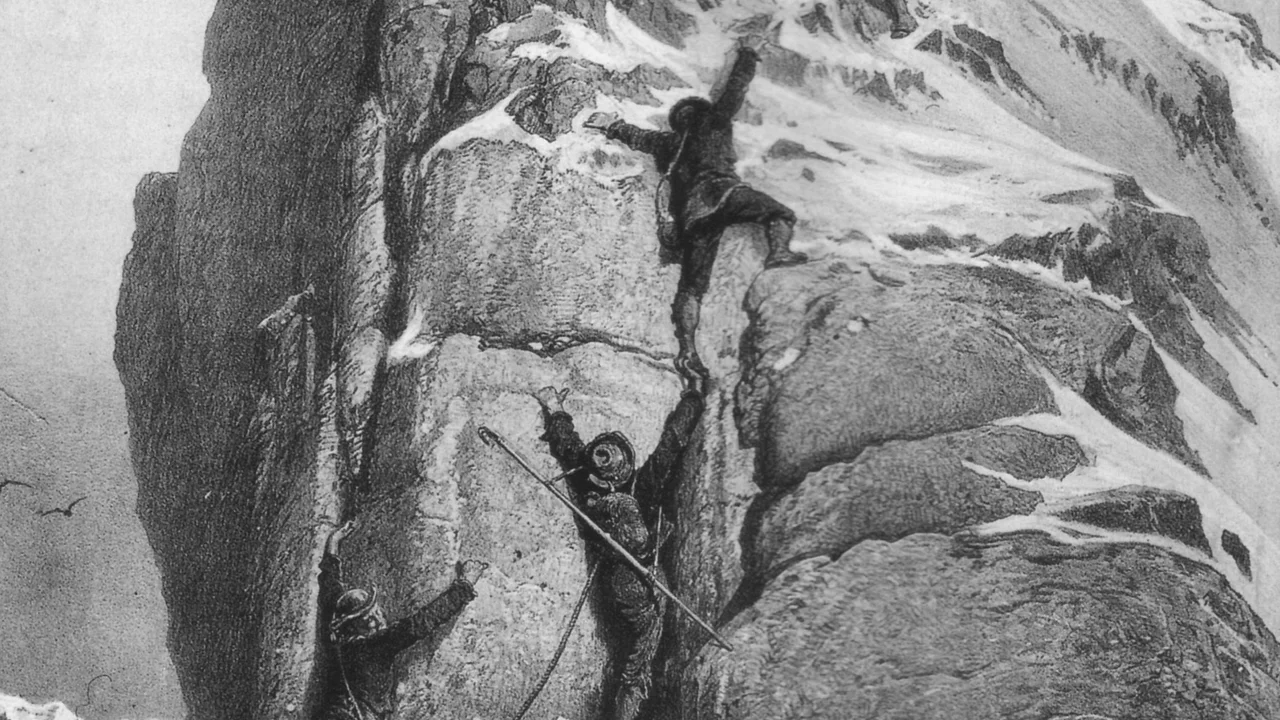
Matterhorn 1865: Whymper's Triumph and the Broken Rope Tragedy
On July 14, 1865, Edward Whymper conquered the supposedly unscalable Matterhorn (4,478m) via the Swiss Hörnli Ridge, only for victory to turn into one of mountaineering's greatest disasters when a rope snapped on descent, claiming four lives.
Documented Sources & Archival Citations
- Scrambles Amongst the Alps(Edward Whymper / John Murray)
Supporting claim: Original detailed route description and topographical drawings of the Hörnli Ridge
Accessed/Documented: 1871 - Swiss Alpine Club (SAC) Mountain Guide: Valais Alps(Schweizer Alpen-Club)
Supporting claim: Modern technical topo, pitch gradings, and safety regulations
Accessed/Documented: 2026