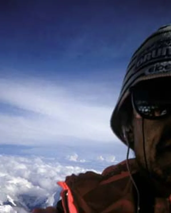
Marc Batard
Marc Batard (born 1951) is an iconic French mountaineer, extreme speed soloist, and painter who shocked the world in 1988 by climbing Mount Everest from Base Camp to the summit in just 22 hours and 29 minutes without supplemental oxygen. Widely regarded as the pioneer of fast-and-light Himalayan speed ascents, Batard opened new dimensions of human endurance at extreme altitude.
Mountain Safety & Conditions Disclaimer: High-altitude climbing, glacial travel, and technical ascents entail severe objective risks including avalanches, serac collapses, rapid weather collapse, and altitude illness. Historical route descriptions and summit claims on Mountanity reflect documented archival sources and must not be used as live operational safety assessments. Local regulations, permits, and physical glacial topography change continuously.
Peer Review: Senior Editorial Board & Historical Reviewers • Editorial Standards
Biographical Record & Archival Chronicle
Marc Batard was born on November 22, 1951, in Villeneuve-sur-Lot in southwestern France, discovering technical climbing at age eighteen in the Pyrenees. Gifted with phenomenal cardiovascular efficiency, rapid acclimatization capacity, and supreme mental focus, Batard qualified as a Chamonix high mountain guide and joined the elite ranks of French alpine soloists in the 1970s and 1980s.
In 1975, at age 23, Batard became the youngest person to summit an 8,000-meter peak when he reached the apex of Gasherbrum I (8,080m). Over the subsequent decade, he pioneered an explosive new philosophy: speed-soloing the world's highest mountains in lightweight pushes to minimize exposure to lethal objective hazards. In 1988, he stunned the global climbing world with a sequence of lightning ascents. After speed-soloing Makalu (8,485m) and Cho Oyu (8,188m), Batard arrived beneath Mount Everest (8,848m) in the autumn of 1988.
On September 25, 1988, setting off alone from Everest Base Camp at 5:30 PM without bottled oxygen and carrying only minimal gear, Batard ran up the Khumbu Icefall, crested the South Col at dawn, and stood on the summit of Mount Everest at 3:59 PM on September 26. His elapsed time of 22 hours and 29 minutes was the first sub-24-hour ascent of Everest without supplemental oxygen in human history, establishing a world speed record recognized by the Guinness World Records. Beyond climbing, Batard has dedicated his later years to painting, writing, and campaigning for improved safety conditions for Sherpa high-altitude workers through his French-Nepali Himalayan school initiative.
Notable Milestones & Ascents
- Set the world speed record on Mount Everest on September 25–26, 1988: Base Camp to summit in 22 hours 29 minutes without supplemental bottled oxygen
- Became the first human in history to ascend Mount Everest from Base Camp to the summit in under 24 hours without artificial oxygen
- Summited Gasherbrum I (8,080m) in 1975 at age 23, becoming the youngest person to scale an eight-thousander at the time
- Completed rapid solo ascents of Makalu (8,485m) and Cho Oyu (8,188m) in single-day pushes
- Summited Dhaulagiri I (8,167m) solo in winter conditions without supplemental oxygen
- Authored celebrated alpine memoirs including L'Éclair et le Foudre and La Sortie des Urgences
Key Statistics & Topographic Figures
- Lifespan
- Born November 22, 1951
Villeneuve-sur-Lot, France
- Everest Speed World Record
- 22 Hours 29 Minutes
September 25–26, 1988 (Base Camp to Summit Without O2)
- Historical Milestone
- First Sub-24-Hour Everest Climb
Recognized by Guinness World Records
- Youngest 8,000m Climber in 1975
- Age 23 on Gasherbrum I
Historic 1975 French Expedition
- Speed Solo Summits
- Makalu, Cho Oyu, Everest, Dhaulagiri
Continuous Push Without Oxygen
Archival Primary Source Quotations
“Speed at high altitude is not about recklessness; it is the ultimate weapon against death in the thin air.”
Defined Alpine Terminology & Concepts
- Himalayan Speed Solo
- An extreme style of climbing where an alpinist ascends a high-altitude mountain from Base Camp to the summit in a single non-stop sprint without sleep or camps.
- Sub-24-Hour Summit Push
- Completing the entire ascent of an 8,000-metre peak from Base Camp to summit in under twenty-four hours without supplemental bottled oxygen.
Frequently Asked Questions: Marc Batard
Who is Marc Batard and what world record did he set on Mount Everest?
Marc Batard is a French speed soloist who set a legendary world record on September 25–26, 1988, climbing Mount Everest from Base Camp to summit in 22 hours 29 minutes without oxygen.
How fast did Marc Batard climb Mount Everest without supplemental oxygen in 1988?
Batard ascended from Everest Base Camp to the summit in exactly 22 hours and 29 minutes, becoming the first human to climb Everest in under 24 hours without artificial oxygen.
What route did Marc Batard take during his 22-hour Everest speed ascent?
Batard climbed via the standard South Col route, running through the Khumbu Icefall at night and scaling the Lhotse Face to reach the South Col in twelve hours.
How old was Marc Batard when he climbed his first 8,000-metre peak?
In 1975, at age 23, Batard climbed Gasherbrum I (8,080m), becoming the youngest climber in history on an 8,000-metre summit at the time.
What other 8,000-metre peaks did Marc Batard climb in speed solo style?
Batard made rapid single-day solo ascents of Makalu (8,485m), Cho Oyu (8,188m), and Dhaulagiri I (8,167m) in pure lightweight alpine style.
Did Marc Batard carry a tent or sleeping bag during his 1988 Everest sprint?
No, Batard carried only energy gels, water, ski poles, and an emergency bivouac bag, eliminating all sleeping gear to maximize speed.
What was Marc Batard’s philosophy regarding speed and safety in high altitude?
Batard argued that speed was the ultimate safety measure, reasoning that spending hours rather than weeks in the death zone avoided the debilitating deterioration of hypoxia.
What humanitarian initiative did Marc Batard establish in Nepal?
Batard established the Hymalayan Training School, training young Sherpa climbers and advocating for safer routes bypassing the dangerous Khumbu Icefall.
Associated Summits (5)


Mount Everest
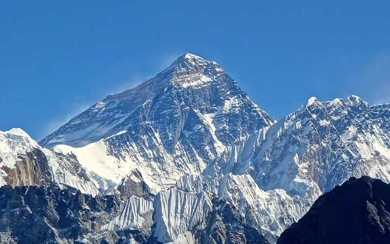
Mount Everest is the highest mountain above sea level on Earth, standing at an official elevation of 8,848.86 meters (29,031.7 ft). Straddling the international frontier between Nepal and China, it is known locally as Sagarmatha in Nepali ('Goddess of the Sky') and Chomolungma in Tibetan ('Mother Goddess of the World'). The peak rises into the extreme upper troposphere, where oxygen levels drop to barely one-third of sea-level pressure. Climbers face hurricane-force jet stream winds, severe frostbite conditions, shifting ice crevasses in the Khumbu Icefall, and the dangerous Death Zone above 8,000 meters.
Makalu
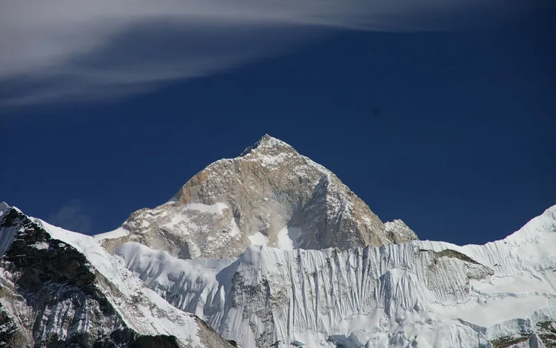
Makalu, at 8,485 meters (27,838 ft), is the fifth-highest mountain on Earth, located 19 km southeast of Mount Everest. An isolated four-sided granite pyramid, it is known for technical knife-edge ridges, severe exposure, and punishing weather, making it one of the most challenging eight-thousanders.
Cho Oyu
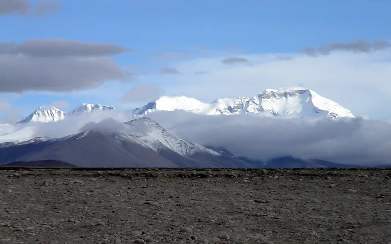
Cho Oyu, at 8,188 meters (26,864 ft), is the sixth-highest mountain in the world, situated 20 km west of Mount Everest. Meaning 'Turquoise Goddess' in Tibetan, it stands on the glaciated Nangpa La trade route between Nepal and Tibet. Its moderate northwest slopes make it the most accessible 8,000-meter peak.
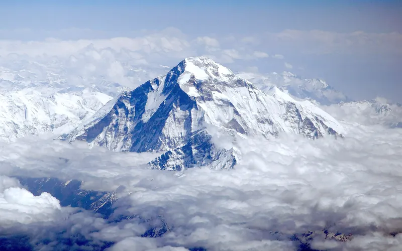
Dhaulagiri I
Dhaulagiri I, at 8,167 meters (26,795 ft), is the seventh-highest mountain on Earth and the highest peak situated entirely within Nepal. Rising steeply above the Kali Gandaki Gorge—the deepest gorge on Earth—opposite Annapurna, Dhaulagiri forms a staggering 7,000-meter vertical rise from the river valley.
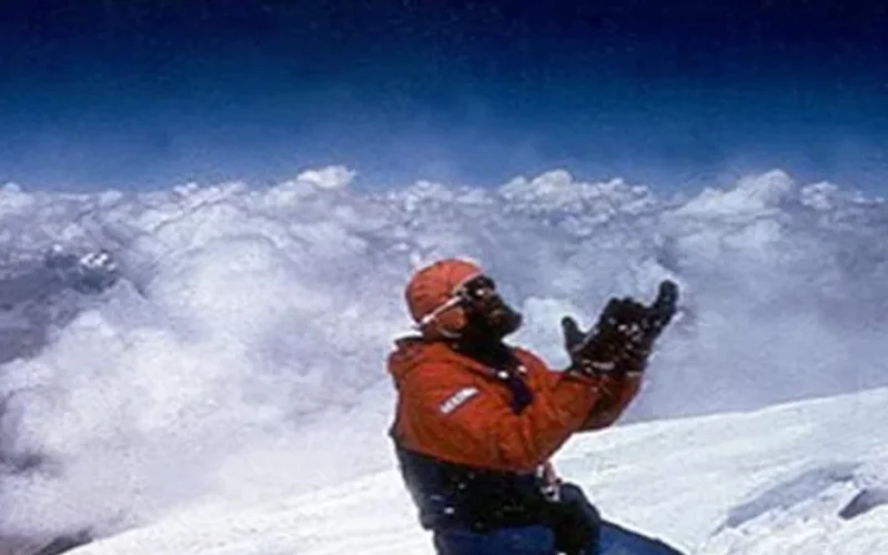

Gasherbrum I
Gasherbrum I, at 8,068 meters (26,470 ft), is the eleventh-highest mountain in the world. Named 'Hidden Peak' by explorer William Martin Conway due to its concealment behind surrounding Karakoram giants, it stands on the border between Pakistan and China. The peak was first climbed in 1958 by an American team led by Nick Clinch, and in 1992 Nazir Sabir summited it with Rajab Shah and Mehrban Shah, marking his fourth Pakistani eight-thousander.
Pioneered & Associated Routes (9)
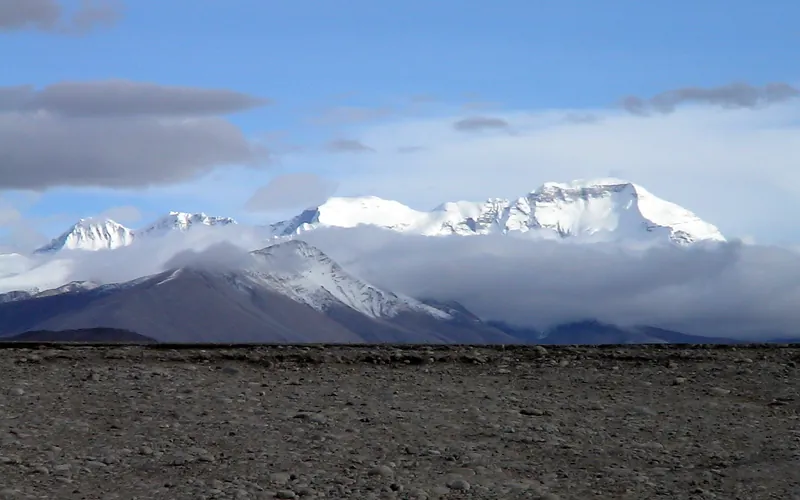
Cho Oyu Northwest Face & Ridge (Normal Route)
The Northwest Ridge is the standard and most climbed route on Cho Oyu, approached from the Tibetan plateau via the Gyabrag Glacier. First climbed in 1954 by an Austrian expedition, the route features relatively moderate snow slopes of 30 to 40 degrees, punctuated by a single prominent technical crux known as the Ice Cliff at 6,700m. Above Camp 3, climbers cross the Yellow Band and emerge onto a vast, gently rising summit plateau.
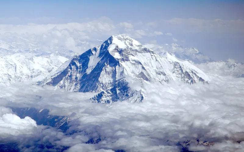
Dhaulagiri I Northeast Ridge (Normal Route)
The Northeast Ridge is the standard climbing route on Dhaulagiri I, first ascended in 1960 by a Swiss-Austrian team. The route begins on the glaciated Mayangdi Khola valley, climbs to the Northeast Col (5,700m), and works its way up the mountain's north-northeast face. The upper section traverses steep, wind-scoured blue ice shelves below the summit rocks and negotiates a final, exposed couloir leading directly to the 8,167m summit.
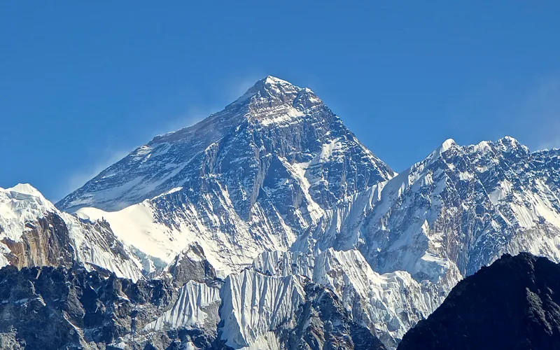
Mount Everest North Face (Hornbein Couloir Direct)
The North Face of Mount Everest via the Japanese Couloir and the sheer Hornbein Couloir is one of the most direct and formidable ice lines in the Himalayas. Rising 3,000 vertical meters from the Rongbuk Glacier to the summit, it funnels through a narrow 60-degree snow-and-ice cleft slicing straight through the Yellow Band and upper limestone cliffs of the North Face. In August 1986, Swiss alpinists Erhard Loretan and Jean Troillet executed one of the most audacious speed climbs in mountain history: climbing the entire face in a single 31-hour push at night without supplemental oxygen, tents, or fixed ropes. After summiting on August 30, they glissaded down the 3,000-meter face on their backs and buttocks in just 3.5 hours, completing the entire round trip in an astonishing 43 hours.
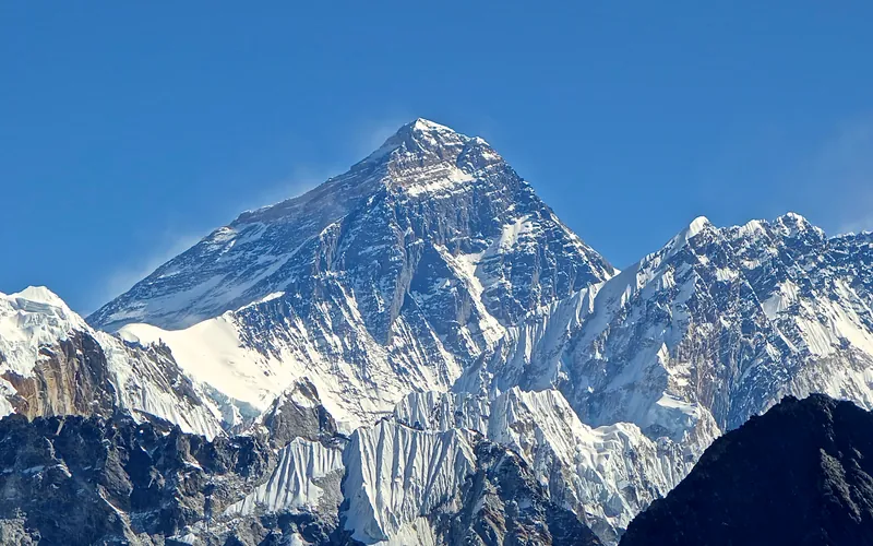
North Col & Northeast Ridge Route
The historic northern route on Mount Everest (8,848.86m), ascending from the Rongbuk and East Rongbuk glaciers to breach the icy wall of the North Col (7,020m). From the col, the route traverses the wind-blasted Northwest Ridge onto the North Face before joining the razor-like Northeast Ridge, navigating the notorious First, Second, and Third Steps in the Death Zone. This was the stage of George Mallory and Andrew Irvine's fateful 1924 climb and was first definitively surmounted on May 25, 1960, by Chinese climbers Wang Fuzhou, Qu Yinhua, and Gongbu.
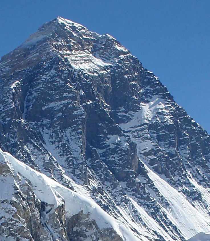
Mount Everest Southwest Face (Bonington Route)
The Southwest Face of Mount Everest (8,848.86m) rises 2,300 vertical meters from the Western Cwm to the summit, presenting one of the largest and most forbidding rock and ice faces in the world. Dominated by the vertical 300-meter 'Rock Band' at 8,200–8,500 meters, the face repelled six international attempts between 1969 and 1974. In autumn 1975, a legendary British expedition led by Chris Bonington breached the face when Paul Braithwaite and Nick Estcourt unlocked the key ramp through the Rock Band. On September 24, 1975, Doug Scott and Dougal Haston climbed to the South Summit and pushed on to the main summit, becoming the first Britons to conquer Everest. Trapped by nightfall during their descent, they survived an epic open bivouac at 8,760 meters without oxygen, sleeping bags, or frostbite.
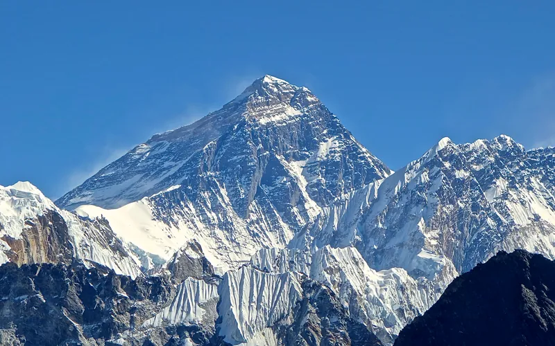
Mount Everest Complete West Ridge (Yugoslav Direct)
The Complete West Ridge of Mount Everest is one of the most formidable and sustained technical routes on the mountain. Pioneered in spring 1979 by an elite Yugoslav expedition led by Tone Škarja, the route tackles the integral knife-edge crest directly from the Lho La col (6,026m) all the way to the 8,848.86m summit. Unlike the 1963 American West Ridge route which diverted into the Hornbein Couloir from the North Face, the Yugoslav line stayed strictly along the razor-edge crest of the West Ridge, surmounting technical rock buttresses up to Grade V+ at extreme altitude before traversing around the Yellow Band. On May 13, 1979, Andrej Štremfelj and Nejc Zaplotnik achieved the first ascent of the complete ridge, followed two days later by Stane Belak, Marjan Manfreda, and Ang Phu Sherpa in one of the greatest feats in Himalayan history.
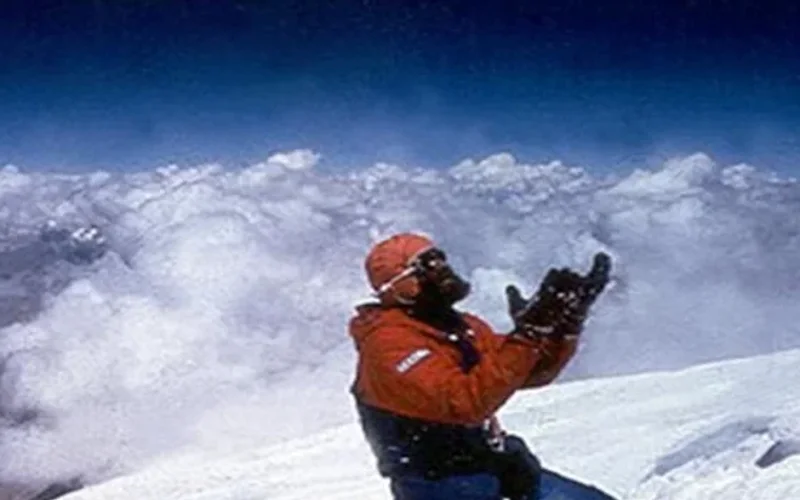
Northwest Face & Japanese Couloir (Normal Route)
The Northwest Face via the Japanese Couloir is the standard and most frequently climbed line on Gasherbrum I (8,068m / Hidden Peak). Starting from the South Gasherbrum Glacier, climbers traverse the shared lower icefall into the Gasherbrum Cwm, then branch southward toward the forbidding northwest wall. The technical centerpiece is the Japanese Couloir—a sustained 50 to 60-degree gully of hard blue ice and shattered rock leading to the high col and summit slopes. First ascended in 1958 by Americans Pete Schoening and Andy Kauffman via the South Ridge, the Japanese Couloir line became the modern benchmark, climbed rapidly in 1992 by Nazir Sabir, Rajab Shah, and Mehrban Shah.
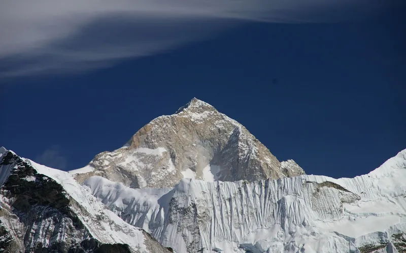
Makalu Northwest Ridge (French Route)
The Northwest Ridge is the classic pioneering line on Makalu, first opened by the historic French expedition of 1955. From Advanced Base Camp on the Chago Glacier, climbers ascend steep snow and ice fields to gain Makalu La (7,400m), a high, wind-blasted col connecting Makalu to Kangchungtse. Above Makalu La, the route climbs through the technical French Couloir—a mixed corridor of steep ice and broken granite—before emerging onto the exposed summit crest.
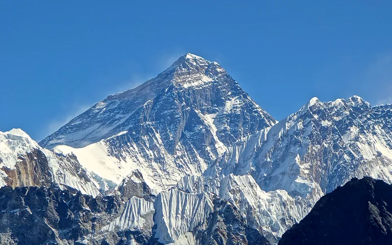
South Col & Southeast Ridge (Normal Route)
The South Col Route along the Southeast Ridge is the historic path of the 1953 first ascent and the most popular route on Mount Everest. Starting from Base Camp on the Khumbu Glacier in Nepal, climbers navigate the shifting seracs of the Khumbu Icefall into the Western Cwm. The route then scales the icy 45-degree slope of the Lhotse Face to the South Col at 7,925 meters, launching the final summit bid through the Balcony, South Summit, and Hillary Step to the summit of Earth at 8,848.86 meters.
Documented Expeditions (1)
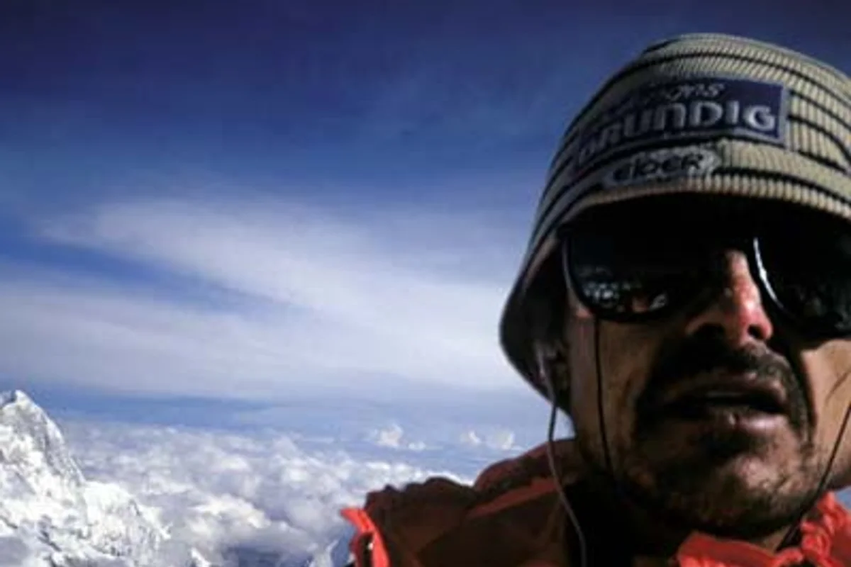
1988 Marc Batard Mount Everest 22-Hour Solo Speed Ascent
On September 25–26, 1988, French speed alpinist Marc Batard made world history by climbing Mount Everest from Base Camp to the summit in just 22 hours and 29 minutes in a continuous solo push without supplemental bottled oxygen.
Associated Chronicles & Stories (1)
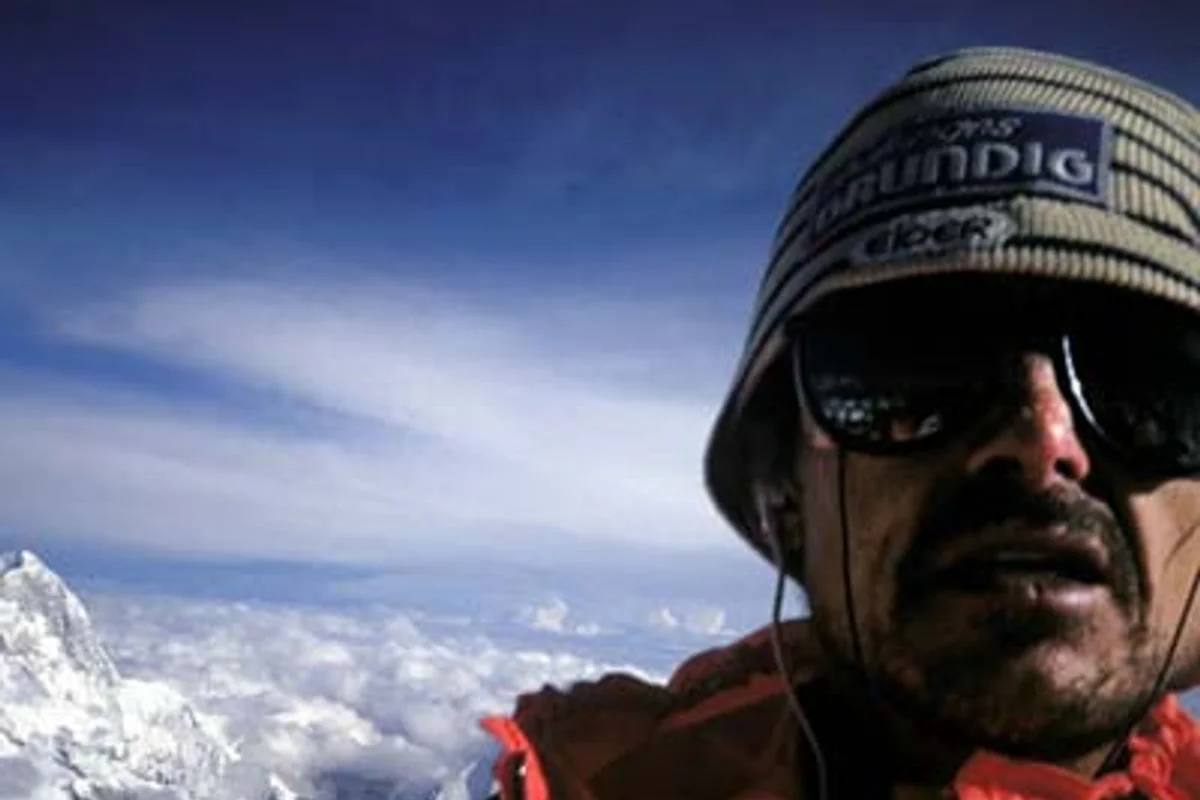
The 22-Hour Sprint: Marc Batard's Oxygenless Everest Speed Record
On September 25–26, 1988, French speed soloist Marc Batard climbed Mount Everest from Base Camp to the summit in 22 hours and 29 minutes without oxygen, setting a world record.
Documented Sources & Archival Citations
- American Alpine Journal: Mount Everest Solo Speed Record by Marc Batard(American Alpine Club)
Supporting claim: Official documentation of the 22-hour 29-minute oxygenless Everest summit push
Accessed/Documented: 1989 - Guinness World Records: Fastest Ascent of Mount Everest Without Supplemental Oxygen(Guinness World Records)
Supporting claim: Historical record ratification for the first sub-24-hour ascent of Everest
Accessed/Documented: 1989