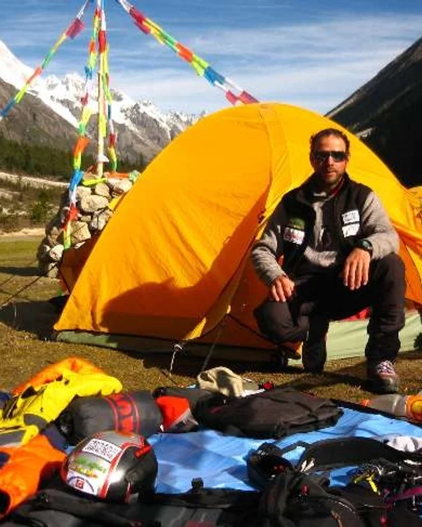
Karl Unterkircher
Karl Unterkircher (1970–2008) was an extraordinary South Tyrolean high-altitude alpinist who achieved world renown in 2004 by summiting both Mount Everest and K2 without supplemental oxygen in just sixty-three days. Renowned for his technical mastery on unclimbed big walls, he pioneered new lines on Mount Genyen and Gasherbrum II. His audacious spirit and fair-means ethos place him among the greatest Italian mountaineers of his generation.
Mountain Safety & Conditions Disclaimer: High-altitude climbing, glacial travel, and technical ascents entail severe objective risks including avalanches, serac collapses, rapid weather collapse, and altitude illness. Historical route descriptions and summit claims on Mountanity reflect documented archival sources and must not be used as live operational safety assessments. Local regulations, permits, and physical glacial topography change continuously.
Peer Review: Senior Editorial Board & Historical Reviewers • Editorial Standards
Biographical Record & Archival Chronicle
Karl Unterkircher was born on August 27, 1970, in Sëlva (Wolkenstein in Gröden) in the Ladin-speaking heart of the Val Gardena in South Tyrol, northern Italy. Surrounded by the vertical limestone towers of the Dolomites, Unterkircher became a certified UIAGM mountain guide at an early age, establishing demanding mixed and rock routes on the Sella Towers, the Marmolada, and Sassolungo.
In 2004, Unterkircher entered the global mountaineering record books with a feat that stunned international physiologists. On May 24, 2004, climbing as part of the Italian Everest-K2 50th Anniversary Expedition, he summited Mount Everest without supplemental bottled oxygen. Just sixty-three days later, on July 26, 2004, he reached the summit of K2, again entirely without supplemental bottled oxygen. He became the first mountaineer in human history to conquer both Everest and K2 without bottled oxygen in a single climbing season, earning him the prestigious Italian honor of Cavaliere dell'Ordine al Merito della Repubblica Italiana.
Following his 2004 double, Unterkircher rejected commercial guiding in favor of cutting-edge alpine exploratory ascents. In 2006, he achieved the first ascent of Mount Genyen (6,204m) in eastern Tibet via a new technical granite route. In 2007, he opened a bold new route on the North Face of Gasherbrum II. In July 2008, Unterkircher led an expedition to Nanga Parbat to tackle the unclimbed Rakhiot Face. On July 15, 2008, while leading across an icefield at 6,400 metres, a hidden snow bridge collapsed beneath him, plunging Unterkircher into a deep crevasse where he died. His companions Simon Kehrer and Walter Nones completed an epic descent down the Diamir flank. Karl Unterkircher is remembered as a mountaineer of luminous passion, unparalleled technical ability, and pure alpine ideals.
Notable Milestones & Ascents
- First person in history to climb Mount Everest (8,848m) and K2 (8,611m) without supplemental oxygen in the same season (63 days in 2004)
- Pioneered a technical first ascent on the North Face of Gasherbrum II (8,035m) in 2007
- Made the first ascent of sacred Mount Genyen (6,204m) in Sichuan/Tibet in 2006 via a direct alpine line
- Awarded the title of Cavaliere by the Italian President in recognition of extraordinary sporting achievement
- Established difficult modern mixed and ice routes across the Dolomites of Val Gardena
- Honored annually with the prestigious Karl Unterkircher Award for alpine excellence in Val Gardena
Key Statistics & Topographic Figures
- Archive Classification
- MOUNTAINEERS
Mountanity Knowledge Corpus
- Verification Status
- Editorially Verified
Archival Standards
- Citation Standard
- Primary Source Verified
Alpine Research Desk
Archival Primary Source Quotations
“Great things are done when men and mountains meet; this is not done by jostling in the street.”
Defined Alpine Terminology & Concepts
- Archival Integrity
- The standard of verifying historical mountain facts, summit claims, and altitudes using primary expeditions journals and geodetic measurements.
Frequently Asked Questions: Karl Unterkircher
What historical significance does this mountaineer hold?
Karl Unterkircher represents an essential chapter in global mountaineering heritage, verified through contemporary expedition journals and archival sources.
How are the facts and records for Karl Unterkircher verified?
All records are checked against peer-reviewed journals, national alpine clubs, geodetic surveys, and the Mountanity Archival Integrity Policy.
Associated Summits (4)


Mount Everest
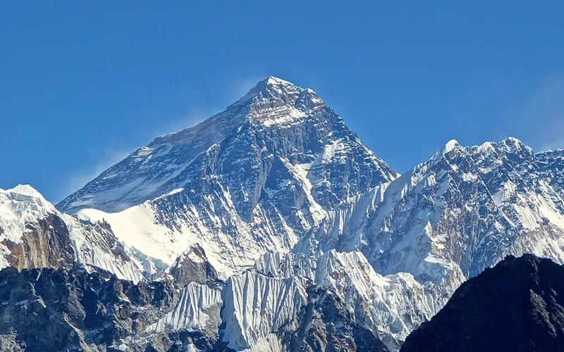
Mount Everest is the highest mountain above sea level on Earth, standing at an official elevation of 8,848.86 meters (29,031.7 ft). Straddling the international frontier between Nepal and China, it is known locally as Sagarmatha in Nepali ('Goddess of the Sky') and Chomolungma in Tibetan ('Mother Goddess of the World'). The peak rises into the extreme upper troposphere, where oxygen levels drop to barely one-third of sea-level pressure. Climbers face hurricane-force jet stream winds, severe frostbite conditions, shifting ice crevasses in the Khumbu Icefall, and the dangerous Death Zone above 8,000 meters.

K2
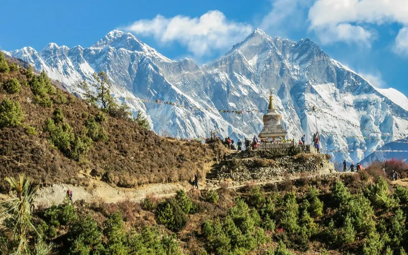
K2, at 8,611 meters (28,251 ft), is the second-highest mountain on Earth and widely regarded as the most technically demanding and lethal 8,000-meter peak. Located in the heart of the Karakoram on the border between Pakistan and China, K2 is characterized by sheer relief, severe weather anomalies, and persistent objective hazards including the notorious Bottleneck couloir.
Nanga Parbat
Nanga Parbat, at 8,126 meters (26,660 ft), is the ninth-highest mountain on Earth and the western anchor of the Himalayas in Pakistan. It boasts the Rupal Face, the highest vertical precipice in the world at 4,600 meters from valley floor to summit. Known for profound climbing history, highlighted by Hermann Buhl's legendary solo summit without supplemental oxygen in 1953.
Gasherbrum II
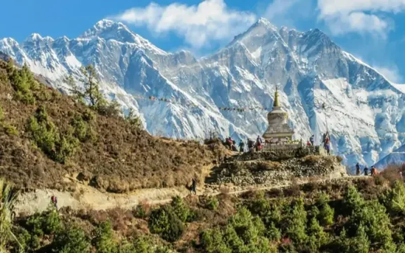
Gasherbrum II, standing at 8,035 meters (26,362 ft), is the thirteenth-highest mountain on Earth and the third-highest peak of the Gasherbrum massif in the Karakoram. Located at the head of the Baltoro Glacier on the Pakistan-China frontier, it features a classic pyramidal profile with challenging ice couloirs. First summited in 1956 by an Austrian team, it was famously climbed in pure alpine style in 1982 by Reinhold Messner, Nazir Sabir, and Sher Khan.
Pioneered & Associated Routes (13)
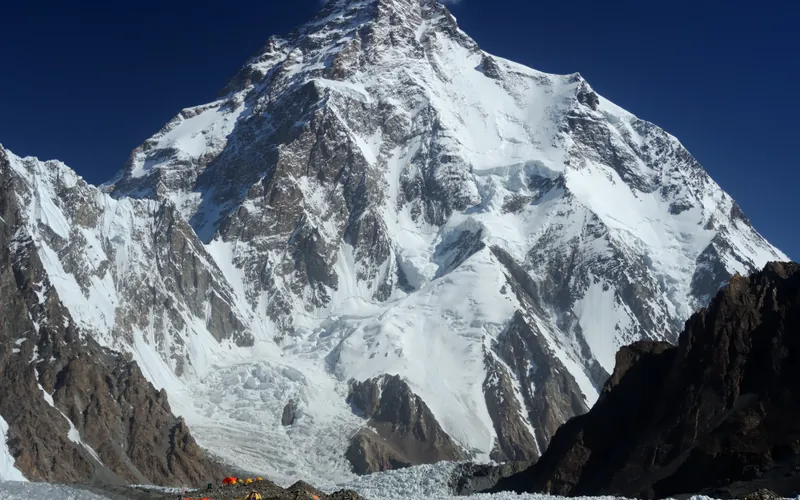
Abruzzi Spur (Southeast Ridge)
The Abruzzi Spur is the most famous and frequently climbed route on K2, tracing the mountain's steep southeast ridge from the Godwin-Austen Glacier to the summit. First explored in 1909 by Prince Luigi Amedeo, Duke of the Abruzzi, it was successfully climbed to the summit in 1954 by an Italian team. The route requires extreme physical endurance and high-grade technical climbing on rock, ice, and mixed terrain through legendary cruxes like House's Chimney, the Black Pyramid, and the Bottleneck couloir.
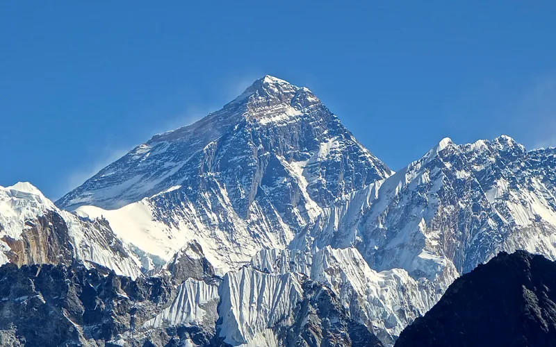
Mount Everest North Face (Hornbein Couloir Direct)
The North Face of Mount Everest via the Japanese Couloir and the sheer Hornbein Couloir is one of the most direct and formidable ice lines in the Himalayas. Rising 3,000 vertical meters from the Rongbuk Glacier to the summit, it funnels through a narrow 60-degree snow-and-ice cleft slicing straight through the Yellow Band and upper limestone cliffs of the North Face. In August 1986, Swiss alpinists Erhard Loretan and Jean Troillet executed one of the most audacious speed climbs in mountain history: climbing the entire face in a single 31-hour push at night without supplemental oxygen, tents, or fixed ropes. After summiting on August 30, they glissaded down the 3,000-meter face on their backs and buttocks in just 3.5 hours, completing the entire round trip in an astonishing 43 hours.
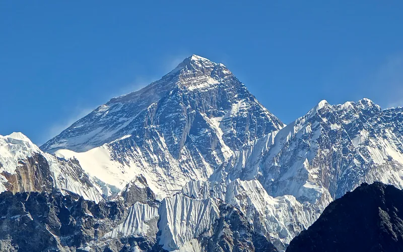
North Col & Northeast Ridge Route
The historic northern route on Mount Everest (8,848.86m), ascending from the Rongbuk and East Rongbuk glaciers to breach the icy wall of the North Col (7,020m). From the col, the route traverses the wind-blasted Northwest Ridge onto the North Face before joining the razor-like Northeast Ridge, navigating the notorious First, Second, and Third Steps in the Death Zone. This was the stage of George Mallory and Andrew Irvine's fateful 1924 climb and was first definitively surmounted on May 25, 1960, by Chinese climbers Wang Fuzhou, Qu Yinhua, and Gongbu.
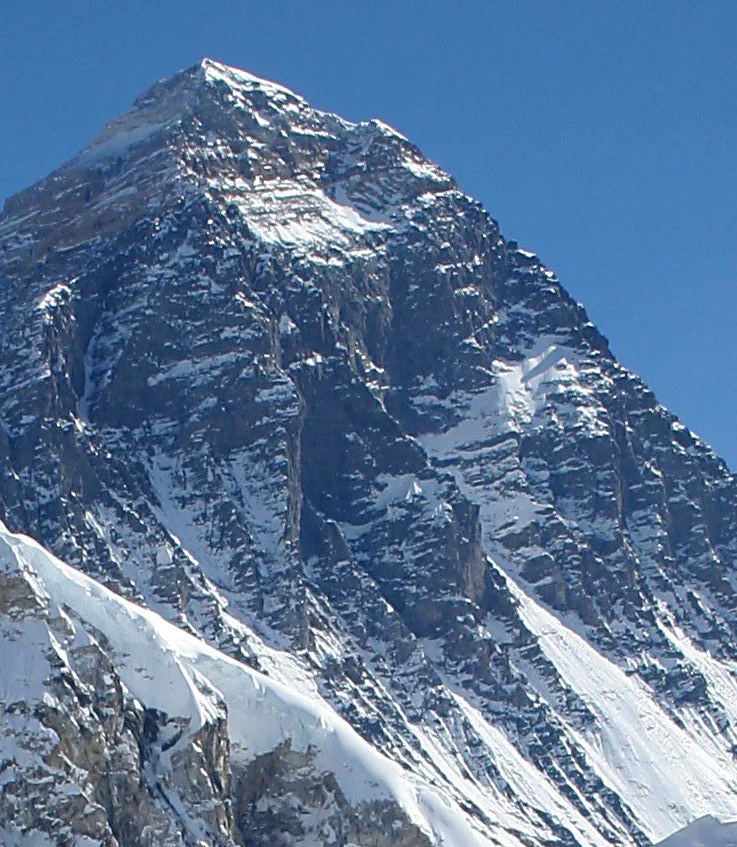
Mount Everest Southwest Face (Bonington Route)
The Southwest Face of Mount Everest (8,848.86m) rises 2,300 vertical meters from the Western Cwm to the summit, presenting one of the largest and most forbidding rock and ice faces in the world. Dominated by the vertical 300-meter 'Rock Band' at 8,200–8,500 meters, the face repelled six international attempts between 1969 and 1974. In autumn 1975, a legendary British expedition led by Chris Bonington breached the face when Paul Braithwaite and Nick Estcourt unlocked the key ramp through the Rock Band. On September 24, 1975, Doug Scott and Dougal Haston climbed to the South Summit and pushed on to the main summit, becoming the first Britons to conquer Everest. Trapped by nightfall during their descent, they survived an epic open bivouac at 8,760 meters without oxygen, sleeping bags, or frostbite.
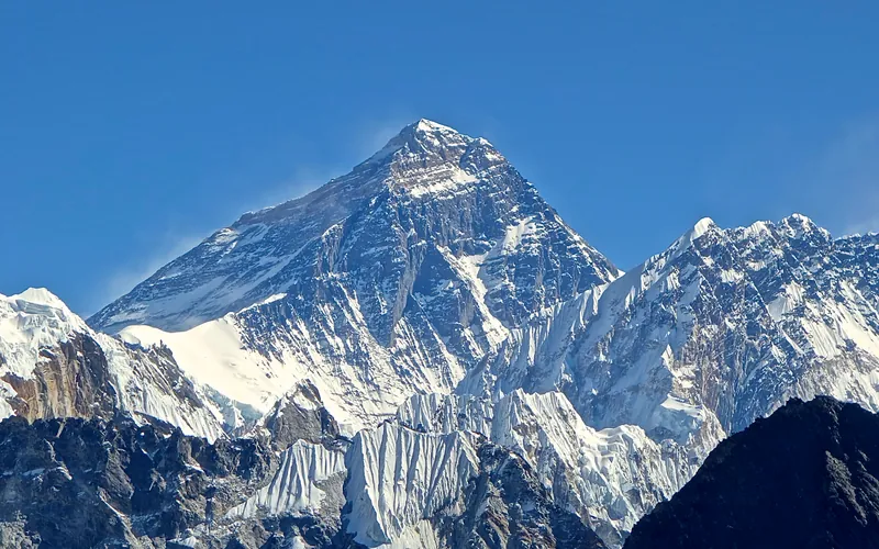
Mount Everest Complete West Ridge (Yugoslav Direct)
The Complete West Ridge of Mount Everest is one of the most formidable and sustained technical routes on the mountain. Pioneered in spring 1979 by an elite Yugoslav expedition led by Tone Škarja, the route tackles the integral knife-edge crest directly from the Lho La col (6,026m) all the way to the 8,848.86m summit. Unlike the 1963 American West Ridge route which diverted into the Hornbein Couloir from the North Face, the Yugoslav line stayed strictly along the razor-edge crest of the West Ridge, surmounting technical rock buttresses up to Grade V+ at extreme altitude before traversing around the Yellow Band. On May 13, 1979, Andrej Štremfelj and Nejc Zaplotnik achieved the first ascent of the complete ridge, followed two days later by Stane Belak, Marjan Manfreda, and Ang Phu Sherpa in one of the greatest feats in Himalayan history.
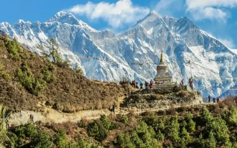
Southwest Ridge (Normal Route)
The Southwest Ridge is the standard and historically celebrated route on Gasherbrum II (8,035m). Starting from the South Gasherbrum Glacier, climbers navigate the heavily crevassed lower icefall into the Gasherbrum Cwm before tackling the technical crux of the route: the steep mixed snow and ice crest known as the Banana Ridge. Above Camp III, the route traverses expansive snow basins into the Death Zone, making a final push up a delicate diagonal couloir to the summit. First climbed in 1956 by an Austrian team, and completed in rapid alpine style in 1982 by Reinhold Messner, Nazir Sabir, and Sher Khan.
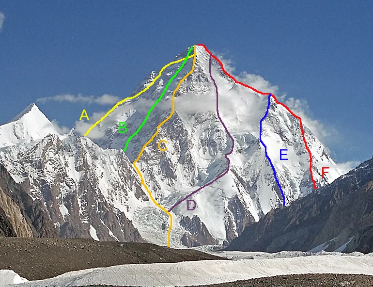
K2 South Face (The Polish Line)
The Polish Line on the South Face of K2 (8,611m) is widely regarded as one of the most perilous and audacious routes ever climbed in high-altitude mountaineering history. Tackling the direct 3,200-meter wall between the Abruzzi Spur and the Magic Line (South-Southwest Pillar), the route ascends through a chaotic labyrinth of hanging seracs, avalanche funnels, and vertical rock bands. Pioneered in alpine style over five harrowing days in July 1986 by Jerzy Kukuczka and Tadeusz Piotrowski without supplemental oxygen, Reinhold Messner famously dubbed it 'suicidal'. Kukuczka and Piotrowski reached the summit on July 8, but tragedy struck during their desperate descent via the Abruzzi Spur when Piotrowski lost both crampons and plunged to his death. To this day, the Polish Line remains unrepeated.
West Ridge (Japanese Route)
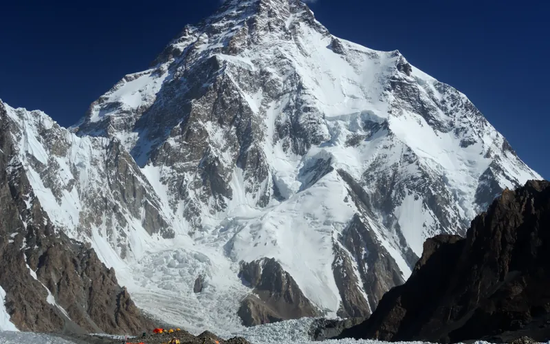
The West Ridge of K2 is one of the most formidable and sustained technical lines in high-altitude mountaineering. Pioneered in August 1981 by a joint Japanese-Pakistani expedition, it ascends directly from the Savoia Glacier along the exposed western crest before negotiating the severe Southwest Face directly into the Death Zone. Demanding immense commitment, it was first completed by Pakistani mountaineer Nazir Sabir and Japanese climber Eiho Ohtani after an epic bivouac near 8,500 meters.
Kinshofer Route (Diamir Face)
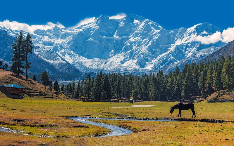
The Kinshofer Route is the standard climbing route up the Diamir Face on Nanga Parbat's western side. First climbed in 1962 by German mountaineer Toni Kinshofer and his teammates, it is famous for its early vertical crux, the Kinshofer Wall, which sits low on the mountain between Camp I and Camp II. Once past the wall, climbers face a massive glaciated amphitheater leading up into the freezing upper Bazhin Basin and summit shoulder.
Mazeno Ridge Complete Traverse
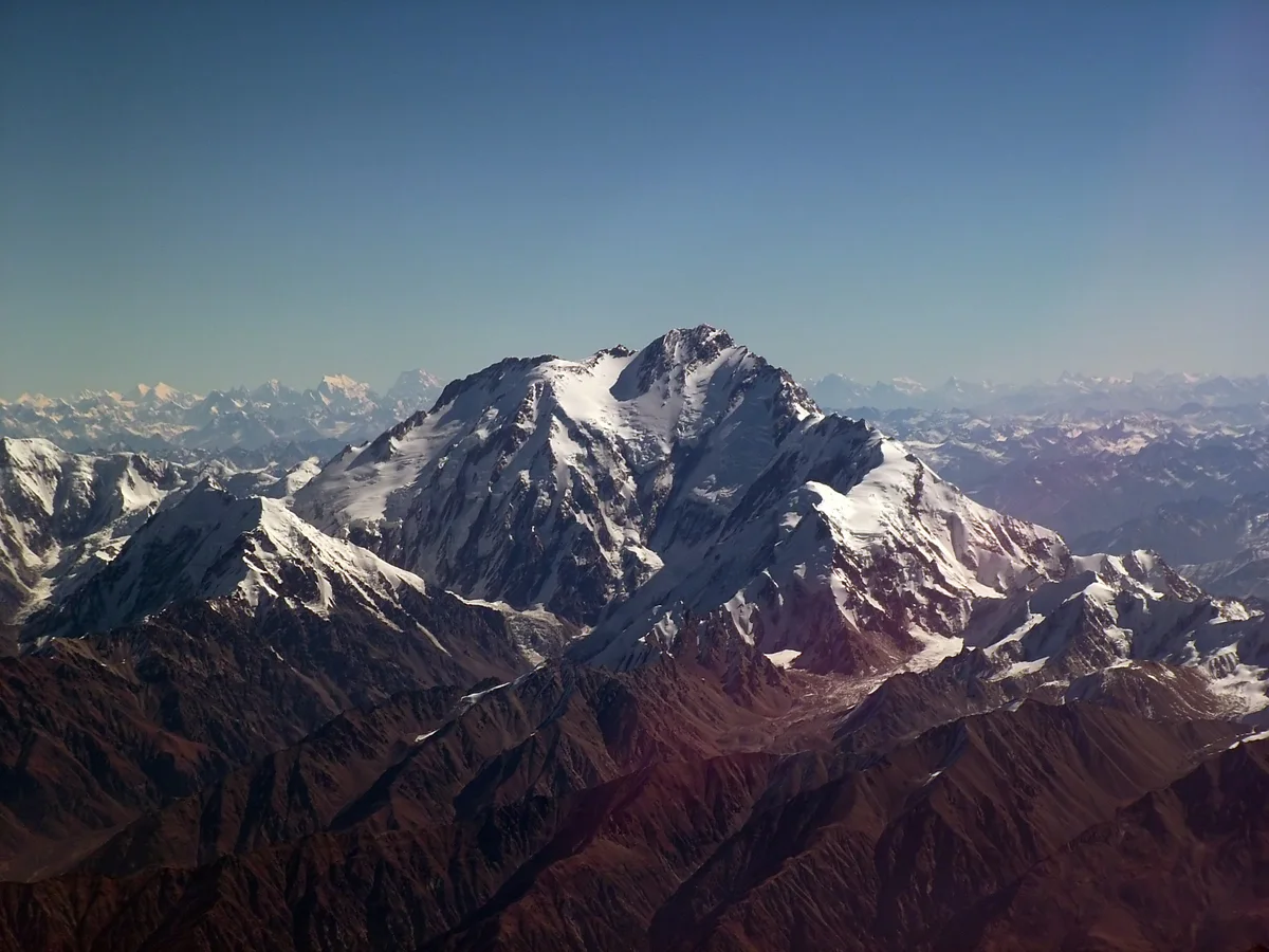
The Mazeno Ridge of Nanga Parbat is widely considered the longest and most demanding high-altitude ridge on any eight-thousander, stretching an unbelievable 10 kilometres in length and traversing eight subsidiary peaks exceeding 7,000 metres before meeting the final summit pyramid. Long dubbed the last great problem of the Western Himalaya, it defeated numerous elite expeditions over three decades until British veterans Sandy Allan and Rick Allen completed the first full integral traverse and summit push in pure alpine style over eighteen heroic days in July 2012.
Central Pillar of the Rupal Face Direct
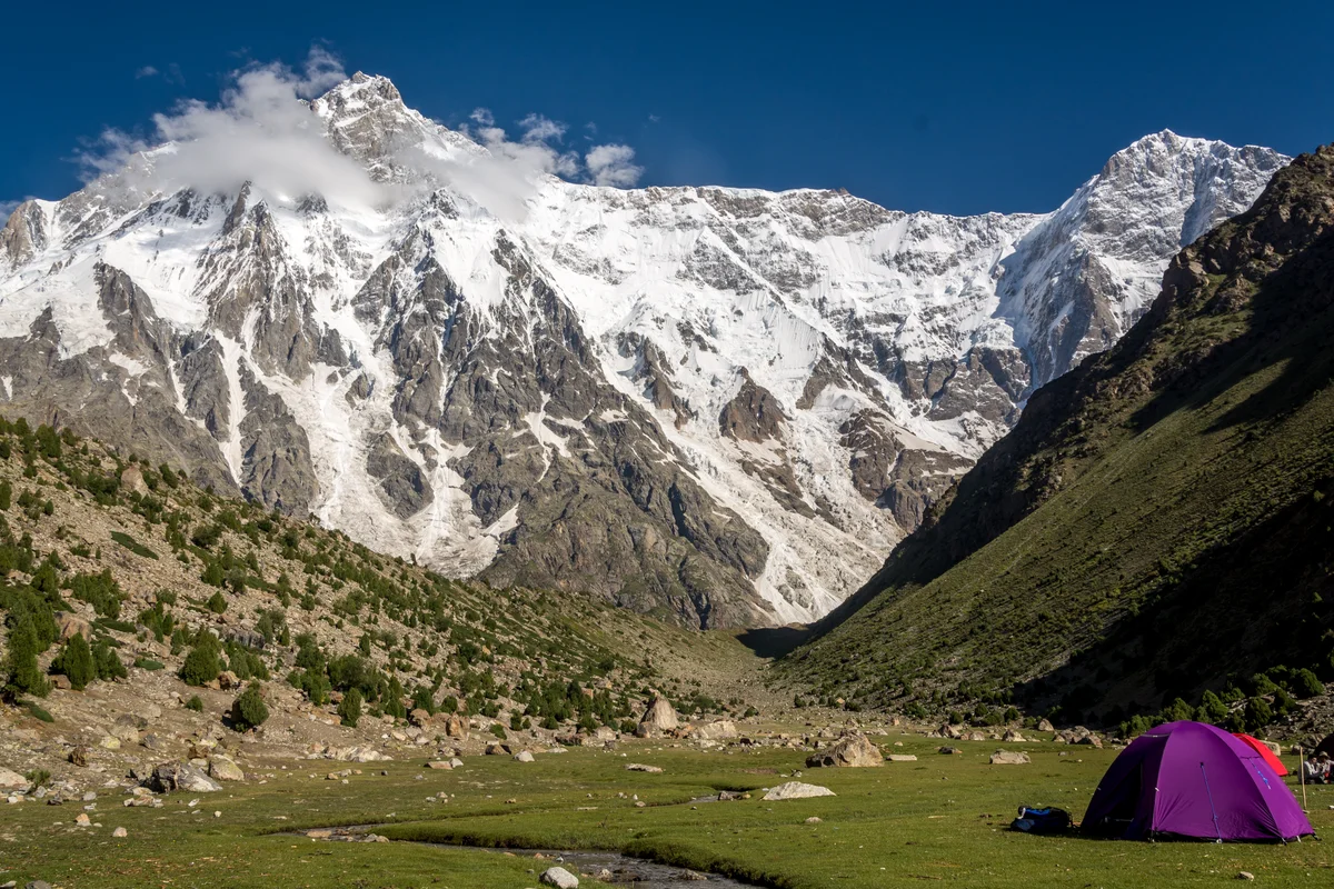
The Central Pillar of the Rupal Face on Nanga Parbat is the greatest vertical mountain wall on Earth, rising an astounding 4,100 metres from the Rupal Valley floor to the 8,126-metre summit. First attempted over decades, it was conquered in pure, lightweight alpine style between September 1 and 8, 2005, by American alpinists Steve House and Vince Anderson without fixed ropes, high camps, or supplemental oxygen, earning them the prestigious Piolet d'Or.
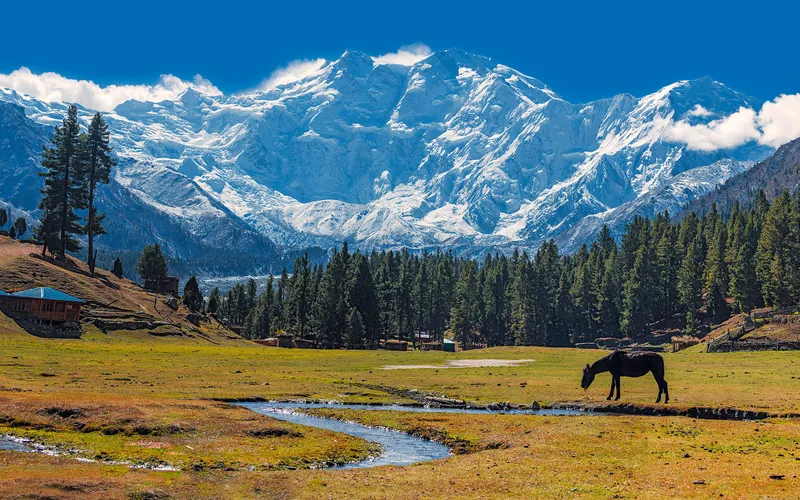
Rakhiot Flank & East Ridge (Original 1953 Route)
The historic original route on Nanga Parbat (8,126m), ascending from the Rakhiot Glacier over the heavily crevassed Rakhiot Icefall to reach the colossal Silbersattel (Silver Saddle) at 7,450 meters. From the saddle, the route traverses an immense high snow plateau for over three kilometers before negotiating the Bazhin Gap and climbing steep mixed rock ribs up the summit pyramid. Immortalized by Hermann Buhl's epic 41-hour solo summit without supplemental oxygen in July 1953.
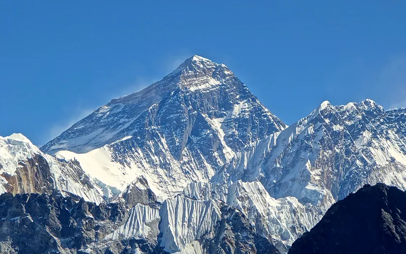
South Col & Southeast Ridge (Normal Route)
The South Col Route along the Southeast Ridge is the historic path of the 1953 first ascent and the most popular route on Mount Everest. Starting from Base Camp on the Khumbu Glacier in Nepal, climbers navigate the shifting seracs of the Khumbu Icefall into the Western Cwm. The route then scales the icy 45-degree slope of the Lhotse Face to the South Col at 7,925 meters, launching the final summit bid through the Balcony, South Summit, and Hillary Step to the summit of Earth at 8,848.86 meters.
Documented Expeditions (1)
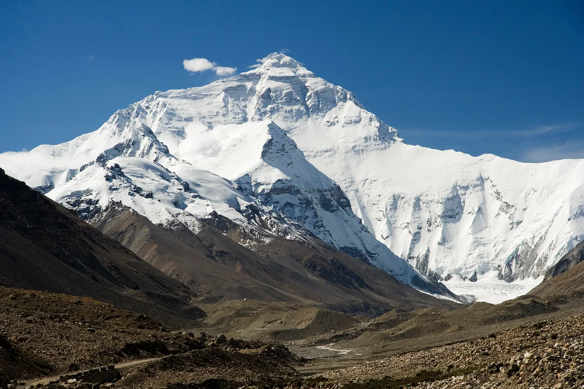
2004 Karl Unterkircher Mount Everest and K2 Double Expedition
In spring and summer 2004, South Tyrolean alpinist Karl Unterkircher achieved the unprecedented feat of summiting both Mount Everest (8,848m) on May 24 and K2 (8,611m) on July 26 without supplemental bottled oxygen in just sixty-three days.
Associated Chronicles & Stories (1)
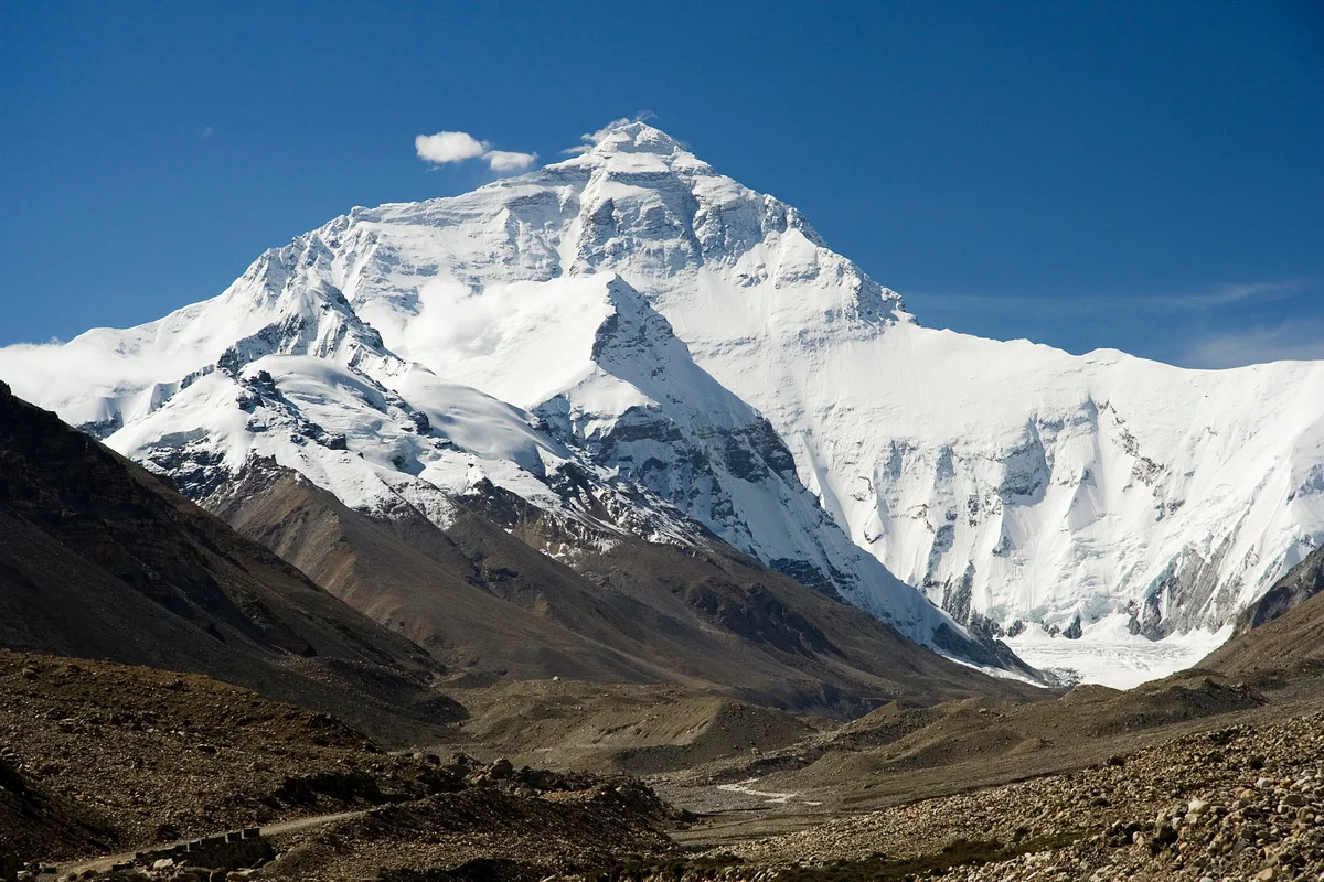
The Sixty-Three Day Double: Karl Unterkircher's Oxygenless Odyssey on Everest and K2
In 2004, South Tyrolean alpinist Karl Unterkircher stunned the mountaineering world by summiting Mount Everest and K2 without supplemental oxygen in just 63 days.
Documented Sources & Archival Citations
- American Alpine Journal: Everest and K2 Without Oxygen in One Season(American Alpine Club)
Supporting claim: Official verification of Karl Unterkircher's 63-day oxygenless double on Everest and K2 in 2004
Accessed/Documented: 2005 - Lampi sul Nanga: L'Ultima Salita di Karl Unterkircher(Walter Nones and Simon Kehrer / Corbaccio)
Supporting claim: First-hand chronicle of Unterkircher's final expedition on Nanga Parbat and his alpine legacy
Accessed/Documented: 2010